Home 7119

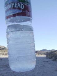 Ice in my water bottles this morning at Indian Springs!
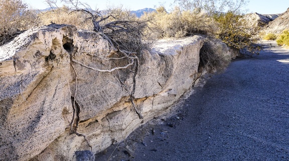 Root system
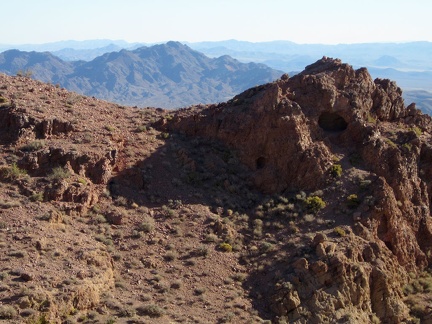 I spot a larger cave in the Cady Mountains next to the smaller one I saw earlier, on my way up the saddle
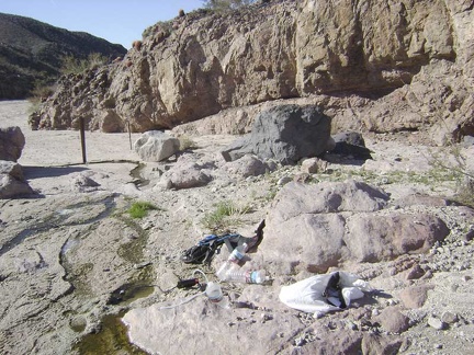 Before packing up, I head back up to Indian Springs 1/2 mile up the road to refill my drinking-water supply
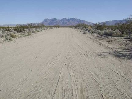 I ride away from the campsite up Kelso Dunes Road toward the Providence Mountains
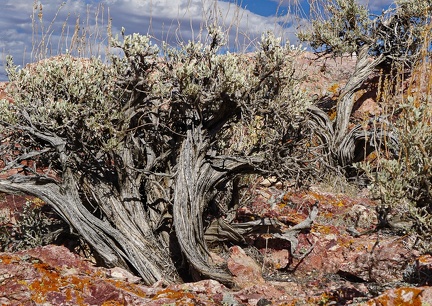 Elderly sagebrush survivors
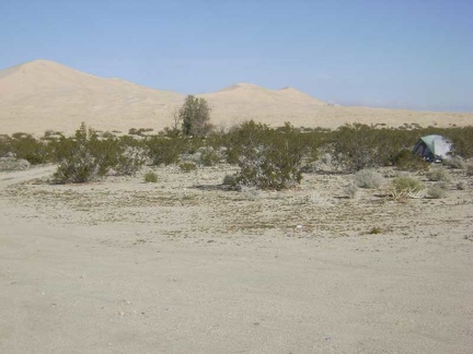 I take a short walk to warm up and get used to today's surroundings (it was dark when I got here last night)
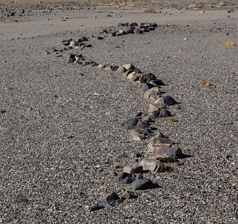 Snake #1
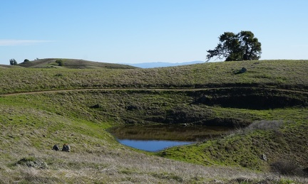 Pond at Wagon Road/Phegley junction
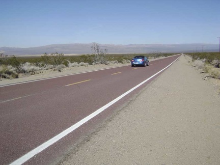 A car passes while I descend Kelbaker Road toward Kelso Depot
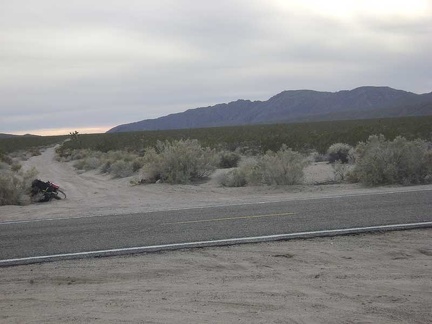 The start of Jackass Canyon Road
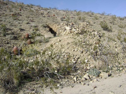 Near those crumbling rock walls is a hole in the hillside
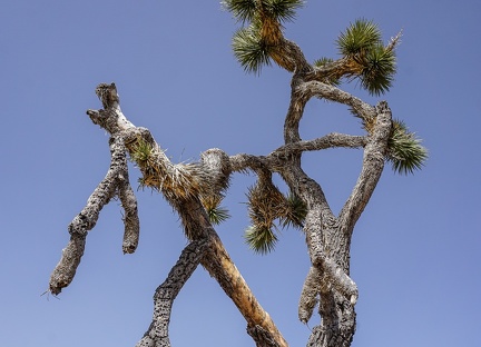 Entwined Joshua tree
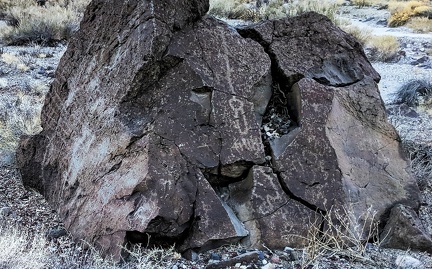 Upward
 Ah, my 12-mile climb up to the Kelbaker Road summit ends just ahead at the power lines...
 Walk of giants
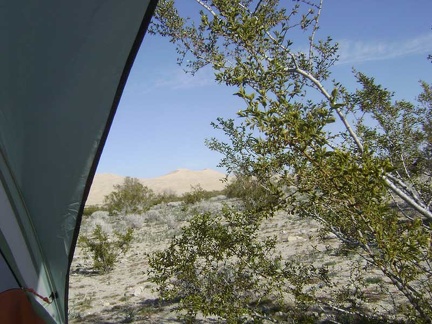 Awake, I peer out the back of my tent to see a sunny day, Kelso Dunes, and a creosote bush poking me in the face
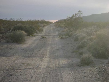 Small ruts on the uppermost part of Jackass Canyon Road
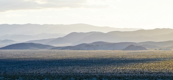 Afternoon haze
 Juxtaposition
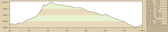 Slaughterhouse Spring hills hike, elevation profile
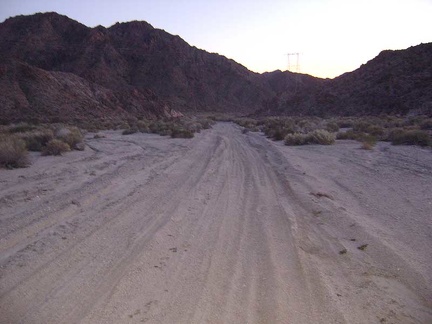 Hmmm... it's extremely sandy on this part of Jackass Canyon Road
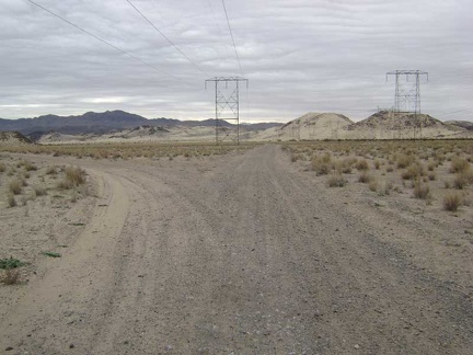 A couple of miles down from my tent, a branch in the road to the left will take me to Sands
 Cady Mountains hike elevation profile
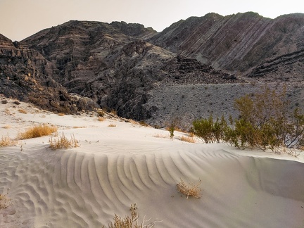 Sand platform
 Social distancing for plants
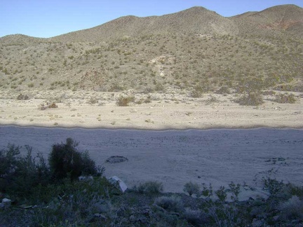 Looking back down to my campsite from my outhouse with a view
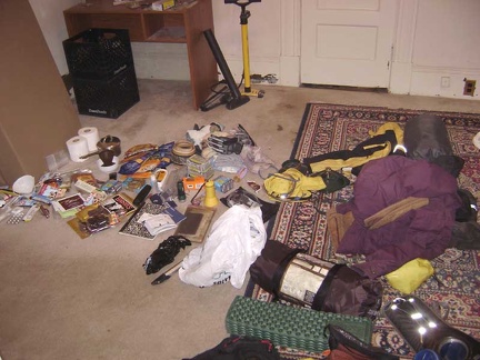 My pile of supplies and gear dumped in the spare bedroom the night before leaving home
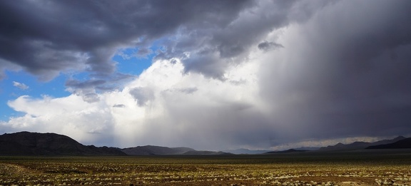 Storm clouds
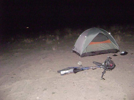 Returning to the main road, I decide to call it a day and set up camp by the power lines around 18h30
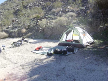 Dismantling the tent; time to move on and continue my bikepacking trip
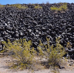 Creosote bush family
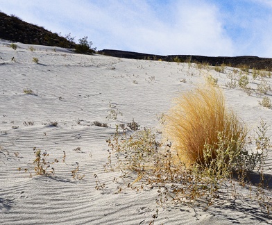 Fluffy in the breeze
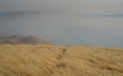 Smoke in the Monument Peak area, August 2020
 My scenic morning cat hole with Soda Lake in the background
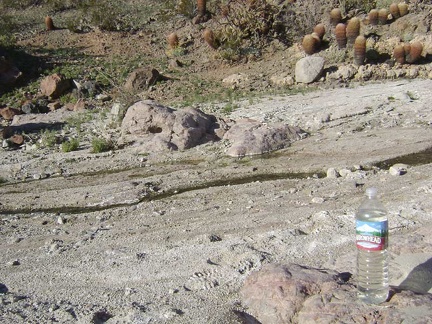 I refill my two-litre Camelbak and an empty 1.5-litre bottle with water from Indian Springs
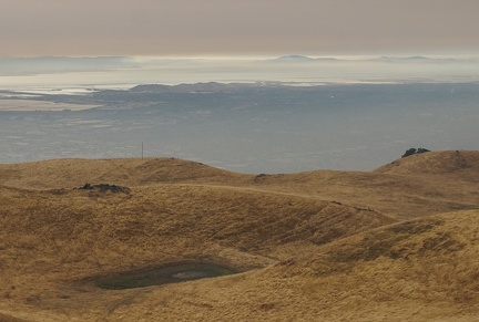 Smoke over San Francisco Bay, August 2020
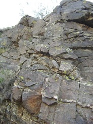 The colourful yellow lichen on these rocks is quite painterly
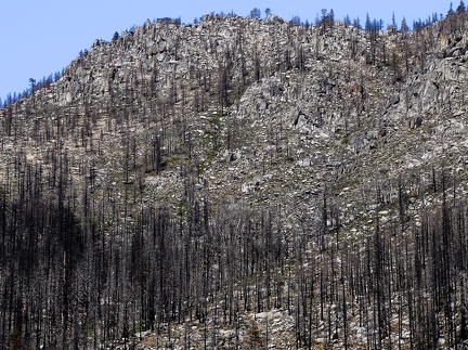 Burned conifers, Stanislaus National Forest, 2020
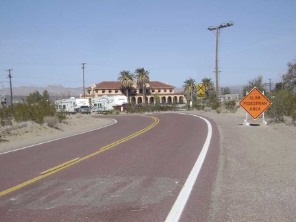 On the last few miles before Kelso Depot, the wind is so strong that I can barely maintain 7 miles per hour
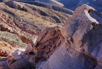 Erosion, Death Valley National Park, Fall 2020
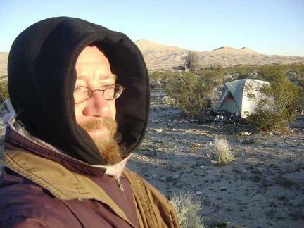 All bundled up, I go for a short walk around the campsite in the cold sun to warm up a little
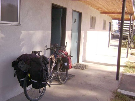 The 10-ton bike is packed up and ready to go to Mojave National Preserve on Xmas day
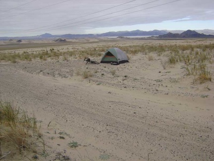 An hour later, I step outside for a short walk around my new surroundings at Devil's Playground
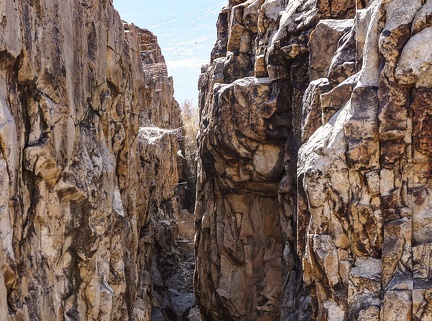 Webs
Webs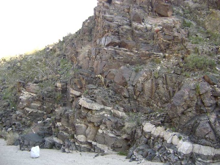 With no set destination, I start walking up the wash past Indian Springs and notice some intriguing rock layers
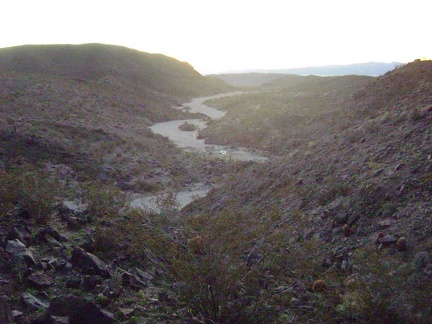 Looking back down the Indian Springs wash toward my campsite
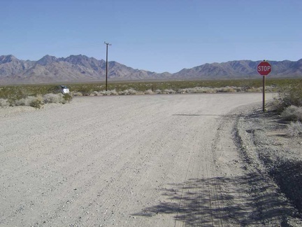 At the end of Kelso Dunes Road, I rejoin the pavement of Kelbaker Road
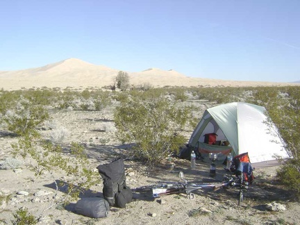 Breaking camp on the final morning of a trip produces mixed emotions
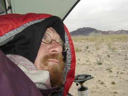 The first thing I do upon waking up is peer outside to see where I am, without leaving the comfort of my hooded sleeping bag
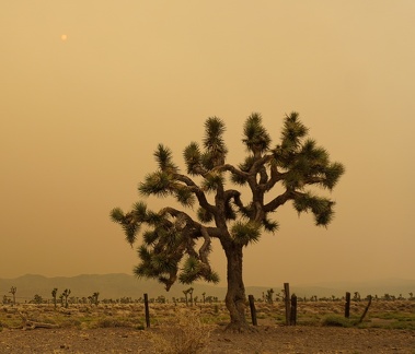 Joshua tree on a smoky afternoon
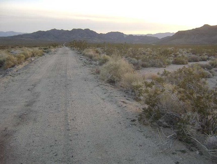 Heading down Jackass Canyon Road, it's not as nearly as steep as I was expecting, at least not yet
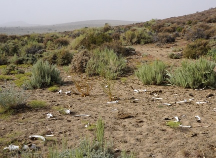 Bone scatter
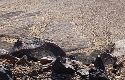 Downfall
 Nice, almost warm morning near Slaughterhouse Spring; I wake up baking in my tent around 8h30
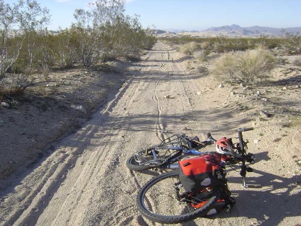 The soft sand on this road results in my walking the bike for about a mile, leaving nice tire tracks behind
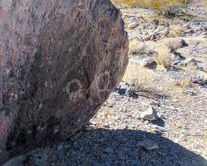 Hiding petroglyphs
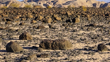 Sundown at a tiny dry lake in the Death Valley backcountry
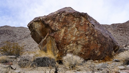 The Boulder
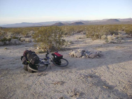 Fire ring at a roadside campsite on Jackass Canyon Road about 1.75 miles in from Kelbaker Road
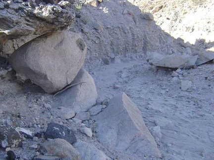 "Painted-dot" rock
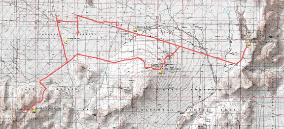 Round-trip bicycle route, Piute Gorge to Hackberry Spring via Rattlesnake Mine
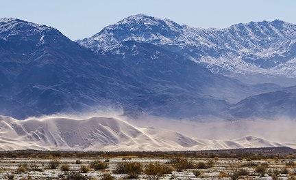 Snow up above, sand down below, at Eureka Dunes
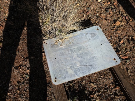 Unexploded ordnance
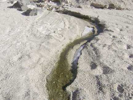 A little further up Indian Springs wash, I come across another seep and a bit of ice that today's sun hasn't reached, and melted
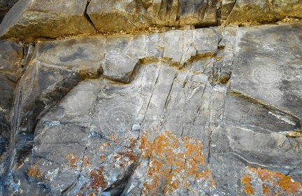 Fading petroglyphs
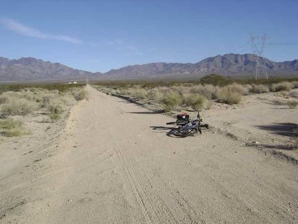 After a couple of miles on the power-line road, I locate the nearly invisible road that leaves on my right toward Coyote Springs
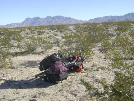 The 10-ton bike has been rebuilt and is ready to leave Kelso Dunes
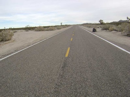 I complete my seven-mile climb up Kelbaker Road and reach the junction of Aiken Mine Road and Jackass Canyon Road
 I reach heavy sand a quarter mile down the road and a pile of paint cans that were recently dumped here
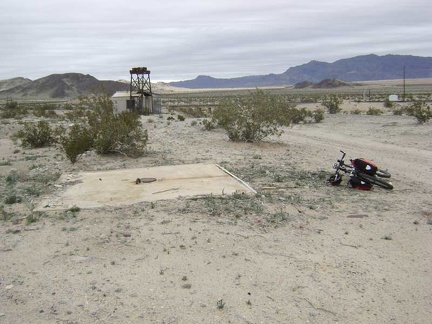 I see just one extant structure at Sands: a shed next to what looks like part of an old water tower
 Warm sunshine ahead
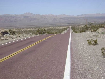 The little town of Kelso is now visible down in the valley below, as are the low mountains beyond that I will ride over later
 Bigger sandy drainages cross Jackass Canyon Road on the way down
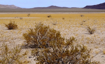 Enjoying desert gold as the mud flats go dry
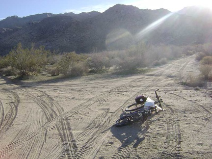 At another junction on the way to Coyote Springs, I pull out my map to look for this fork in the road
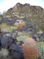 Hillside cactus garden at Indian Springs, Mojave National Preserve
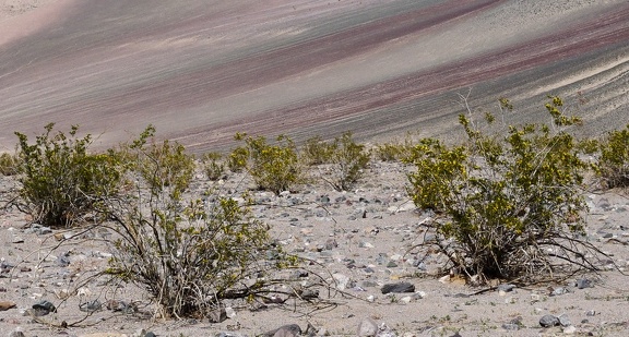 Creosote bush family
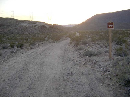 This four-wheel drive sign is the first sign I've seen on Jackass Canyon Road
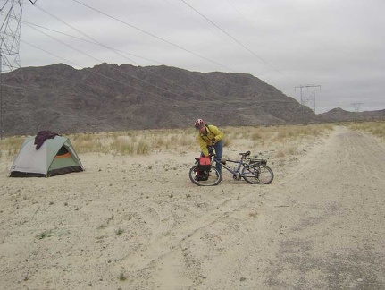 Leaving my campsite at the bottom of Jackass Canyon to ride across Devil's Playground over to Sands
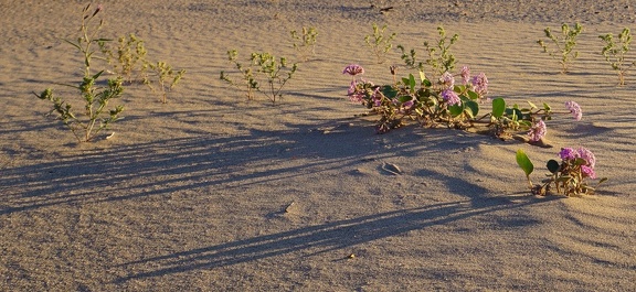 Desert abronia
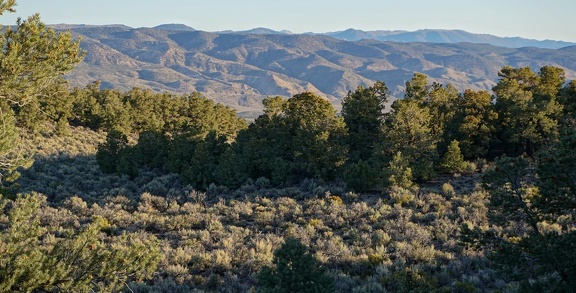 Morning, Humboldt-Toiyabe National Forest
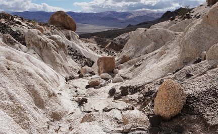 Tic tac toe
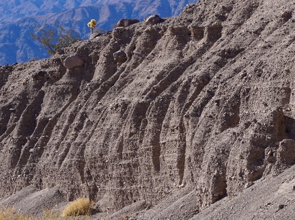 A cholla cactus watches me from a safe distance, Death Valley National Park
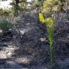 Wallflower, Humboldt-Toiyabe National Forest
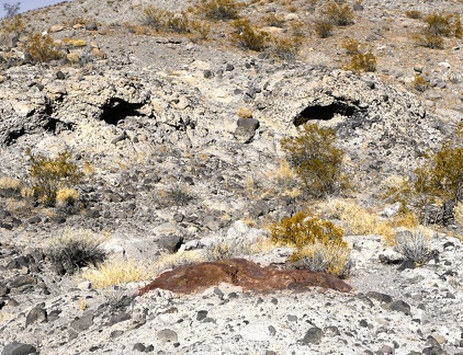 Wry Canyon smiles back at me, Death Valley National Park.
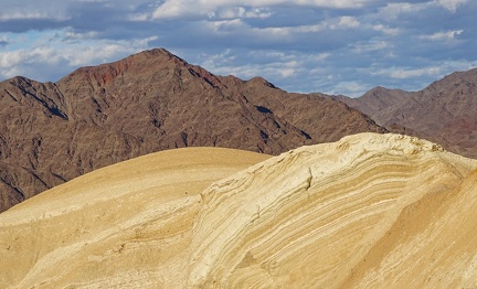 Curves, points and clouds
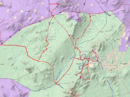 Map of Mojave National Preserve bicycle and hiking routes
 The pretty ceiling above the shower stall in tonight's room at the Royal Hawaiian invites me to step inside and get clean
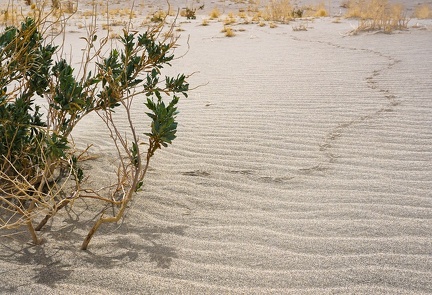 Avian desert-hiker tracks
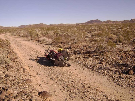 Indian Springs Road: the road surface is a bit rough and rocky
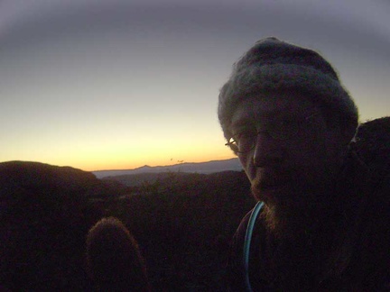 The sun sets on me at Indian Springs
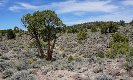 Elderly juniper tree, Humboldt-Toiyabe National Forest
 Eastbound on the power-line road toward Providence Mountains, I see that somebody suffered a tire blow-out here
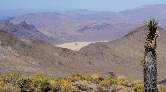 Bright sunshine and a bit of smoke in the air as I look down toward "The Racetrack" in Death Valley National Park
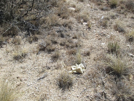 Hmmm... a rubber glove near Mail Spring
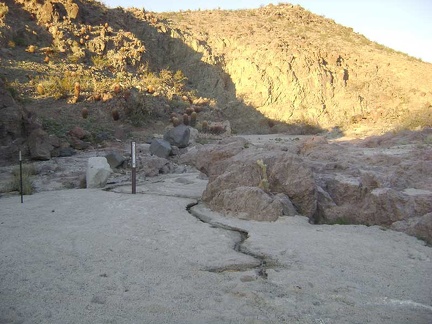 Wow, there's a trickle of water here at Indian Springs
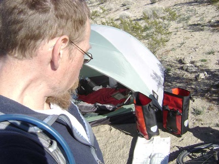 Back at my campsite near Kelso Dunes for a few minutes, I stuff a few items in my saddlebags for the ride to Coyote Springs
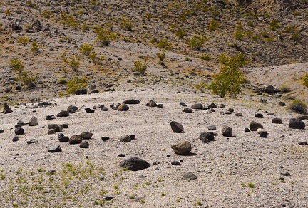 Ring of rocks
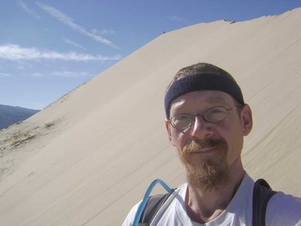 Approaching the top of Kelso Dunes, this final stretch is the steepest part
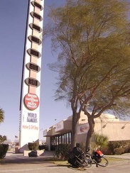 Baker's "world's tallest thermometer" says that it's 50 degrees F this morning
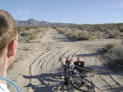 This sandy road-in-a-wash ends after a couple of miles and the rest of it ahead is blocked Wilderness barrier posts
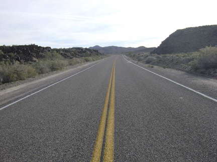 Back on the pavement of Kelbaker Road, I begin the slow, easy climb up toward Jackass Canyon Road
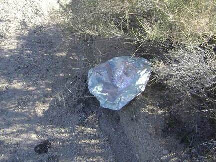 A happy-Mother's-Day balloon rests deflated near the road
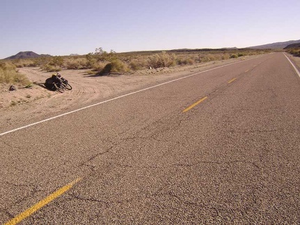 After 13 miles, I reach the little dirt road to Indian Springs and turn off here
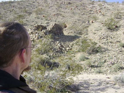 At the stone ruins off Indian Springs Road
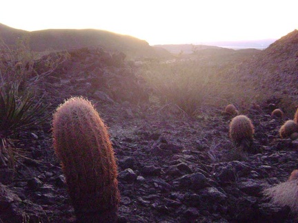 Barrel cacti catching the last light of day on the hill above Indian Springs
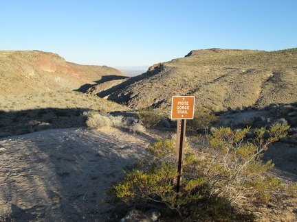 I begin the hike down to Piute Spring by walking over to the trail sign at campsite #2
 I mount the bike and ride the 1/4-mile shortcut at the end of Kelso Dunes Road to the nearby power-line road
 Desert rock garden, after the snow
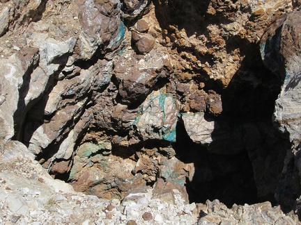 Turquoise veins in rock at Trio Mine, Mojave National Preserve: copper, presumably
 About eight miles down from the summit, I fly around the curve near the Kelbaker Road lava flows
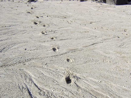 I'm seeing animal tracks all over the place
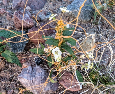 Dodder and desert primrose
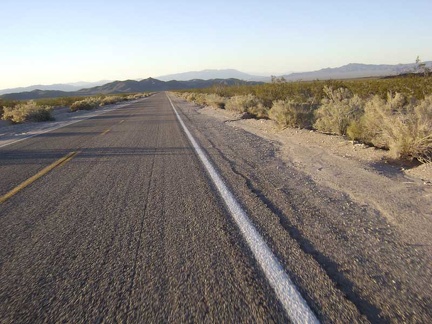 Baker, California: 23 miles and 2900 feet below the Kelbaker Road summit
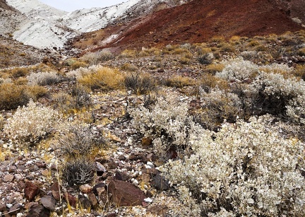 Desert holly bushes attempt camouflage amidst white rock scatter
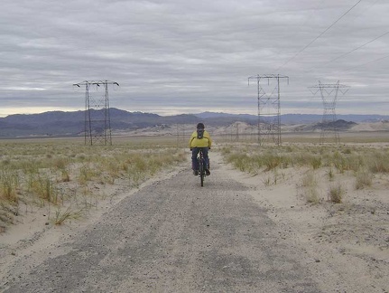 And away we go toward Sands down the power-line road...
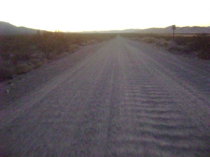 In the last vestiges of daylight, I rattle four miles down the Kelso Dunes Road washboard back to my tent
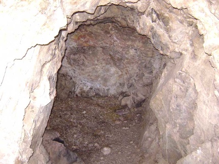 I take a look into the hole that goes into the hillside
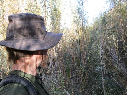 I cross through some of the riparian brush at Piute Creek
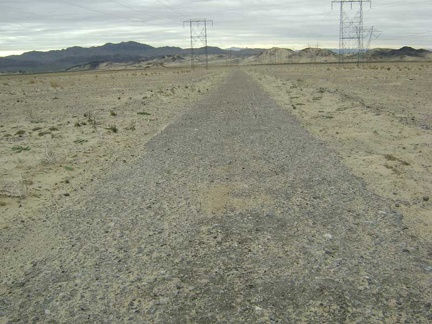 Some of the old pavement on the power-line road still functions as originally intended
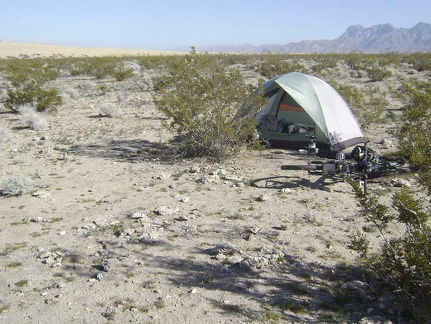 Large dry clumps of animal dung are everywhere around my tent
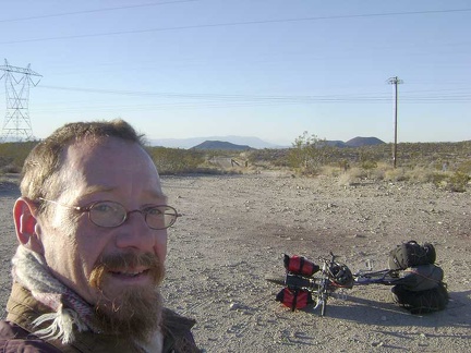 I take a quick break at the Kelbaker Road summit to put on my winter jacket and scarf in preparation for the downhill ahead
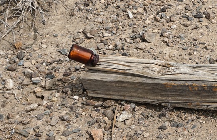 Mining claim in a bottle
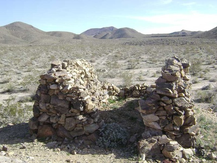 Whatever this was, there's practically no mortar left at all between the stones
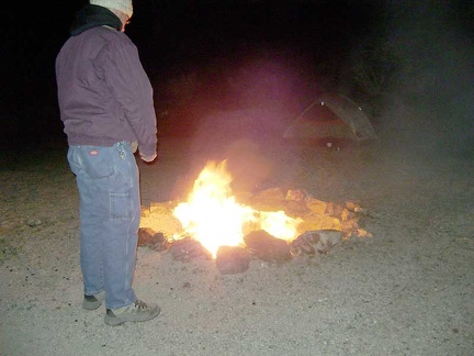 The heat feels great, but it's time to let the fire burn out and prepare for sleeping
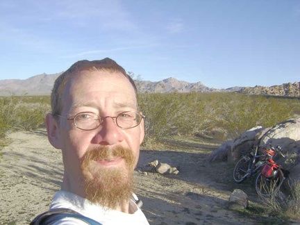 The road to Coyote Springs ends at a cul-de-sac, a small stone fire ring, and Wilderness-barrier posts
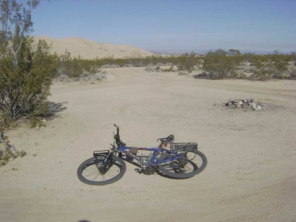 Near the Kelso Dunes trailhead, I pass an unoccupied roadside campsite
 Crossing a dry mud flat near Sands on the way back across Devil's Playground
 A drainage rut across Indian Springs Road
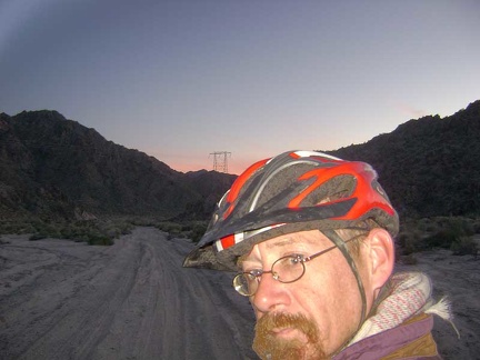 Bla, I can't ride through this deep kitty litter, it's getting dark, and I'm not down at Devil's Playground yet
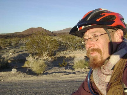 Pedalling down past those famous Mojave National Preserve cinder cones
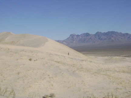 The Kelso Dunes sand is soft, and one does sink in with each footstep, but it's not as difficult as I thought it might be
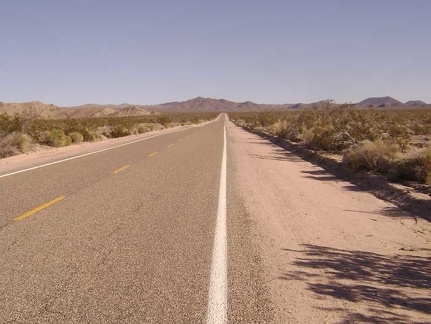 The first ten miles of Kelbaker Road into Mojave National Preserve out of Baker looks flat, but it actually climbs 1000 feet
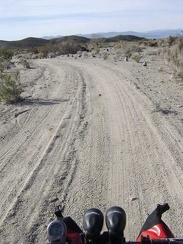 Around 13h, I ride down Indian Springs wash, away from my quiet campsite of the past two nights
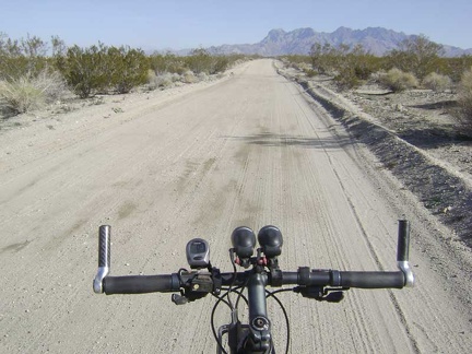 I ride back up the road 1.25 miles to the Kelso Dunes trailhead
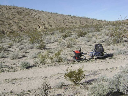 A mile or so down Indian Springs Road, I stop to look at some stone ruins in a hillside on the north side of the road
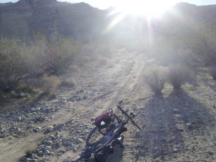 This final piece of the road to Coyote Springs is a little rocky, but has fresh tire tracks
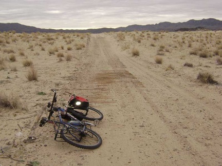 On the way to Sands is the remains of an old plank road, built ages ago to provide "permanent" traction in the sand
 Poor little cactus!
 The road belongs to me; I've only seen two cars since starting down from the summit
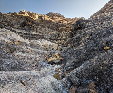 Staircase
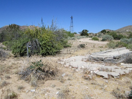 A windmill, a defunct wilderness camera and a dry cistern all sit at the old Lecyr Well site, Mojave National Preserve
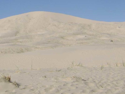 There are a number of people hiking Kelso Dunes today
 My focus cuts across the slanted world of motion to the hills behind the Indian Springs area, where I camped the first two night
 After about three miles, Indian Springs Road turns toward the hills up a sandy wash
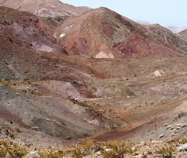 Sometimes, the colors in the desert all run together
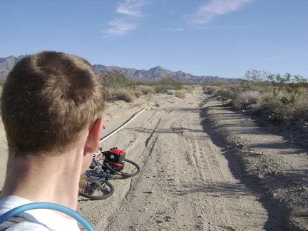 Heading up this sandy road, I notice a plastic pipe along the shoulder
 Erosion along the walls of Indian Springs wash
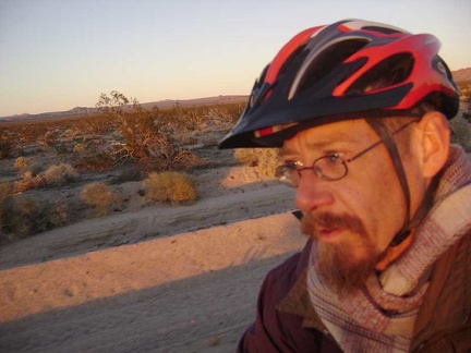 The deep glow of sunset intensifies with the passing of each minute
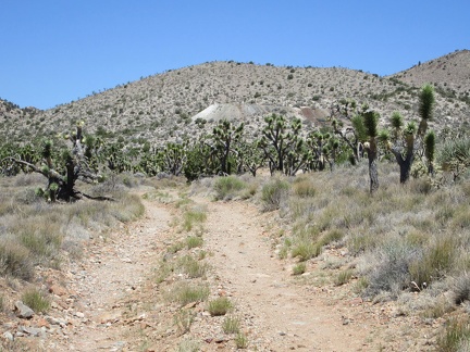 Next stop on today's hike is the old Trio Mine site
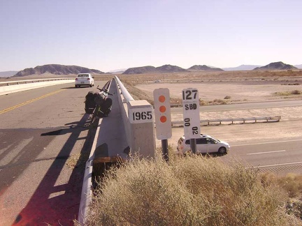 Leaving Baker on Kelbaker Road and crossing the Interstate 15 freeway to enter Mojave National Preserve
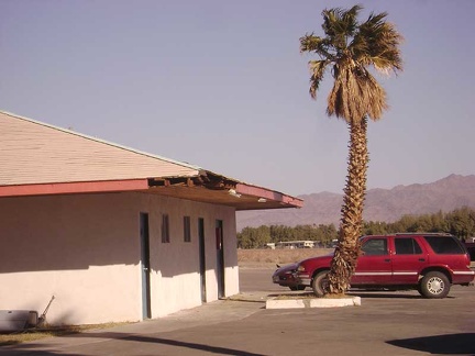 Damage to the corner of one of the motel units
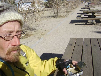 The strong wind pushes my empty sardine can around while I eat lunch outside Kelso Depot
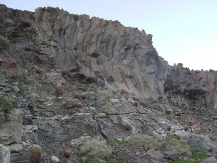 This rock formation immediately catches my attention
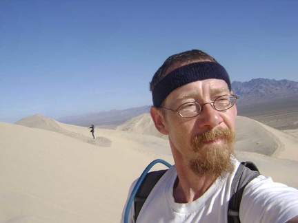 Excellent perspectives of the surrounding mountains come into view as one climbs higher up Kelso Dunes
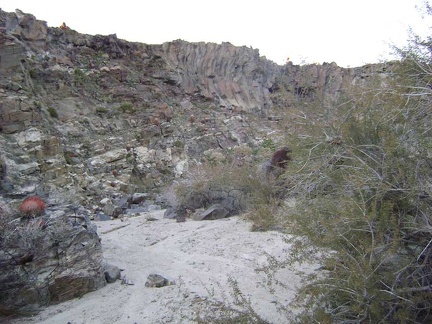 A little further beyond Indian Springs, I notice a side wash that looks interesting
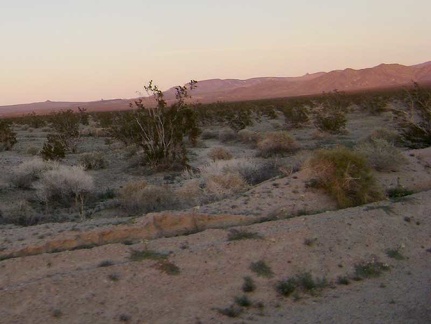 Today's Mojave National Preserve festival of pink, purple and orange is probably the best I've experienced on this trip
 The 10-ton bike waits for me back on Indian Springs Road
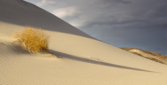 Shadow and stripe
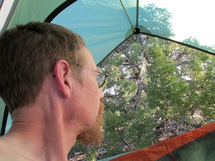 I wake up in the Mail Spring area of Mojave National Preserve and realize I'm still alive after yesterday's hot bicycle ride
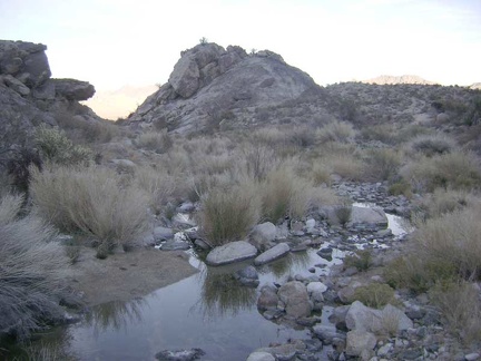 After refilling my water, I notice a faint road rising slowly to the right of a hill ahead of me
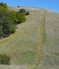 A hiker atop the Phegley Ridge Trail "wall"
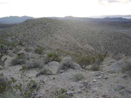 Heading back up to the ridgetop for a moment
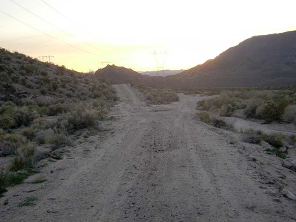 Uh oh, a fork in the power-line road; I have to make a choice that I didn't realize I'd have to make
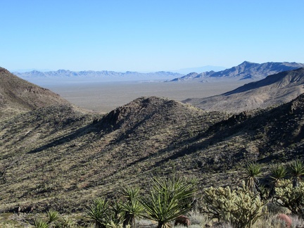 Nice views across the next valley toward the Dead Mountains Wilderness area, outside Mojave National Preserve
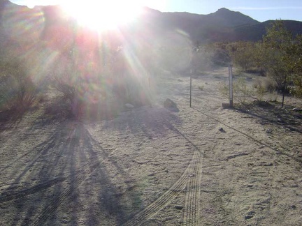 The old Coyote Springs Road obviously continues beyond the Wilderness-barrier posts, so I park my bike here and walk onward
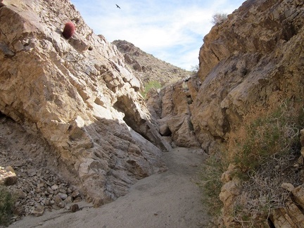 I notice several hawks and ravens flying around as I continue hiking up the wash toward Hyten Spring
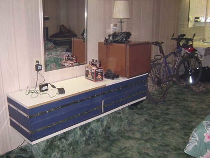 I've settled in with a full tummy and celebrate by catching up on my travelogue notes, drinking beer, and watching some TV
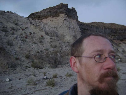 Dusk is closing in here in Eyeball Rock Wash
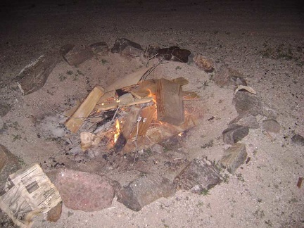 After supper, at 21h50, it's time to start my Indian Springs Xmas campfire
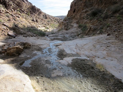 And here it is: Hyten Spring, Bristol Mountains, Kelso Dunes Wilderness
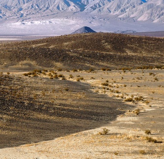 Distant dunes
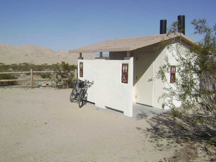 A nice touch at the Kelso Dunes trailhead is a modern outhouse that's even equipped with toilet paper
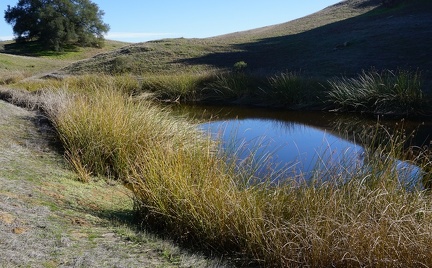 Redfern Pond
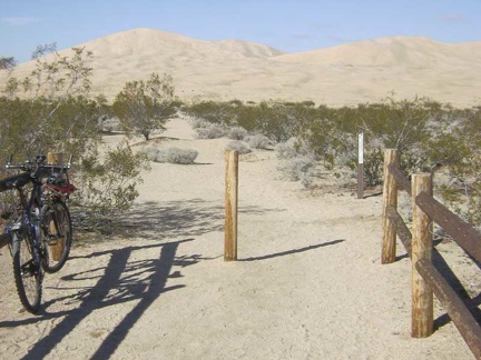 I lock the bike to the fence at the Kelso Dunes trailhead
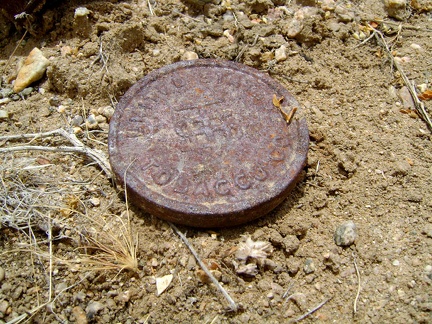 Here's an old rusty lid from a tobacco tin, perhaps Copenhagen snuff
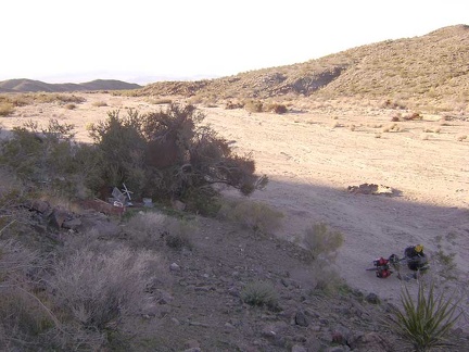 About a quarter mile before the end of Indian Springs Road, I notice a fire ring and a possible campsite
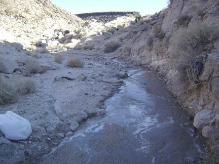 Just beyond Cane Spring, I come across more surface ice
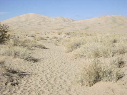 I begin the walk toward Kelso Dunes
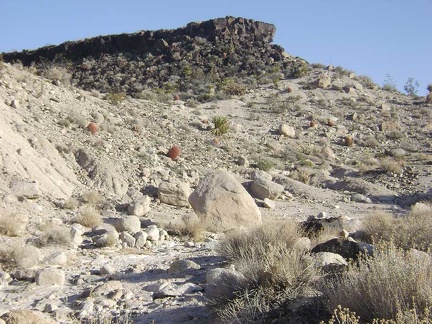 The tip of one of the old lava flows lies a short distance ahead
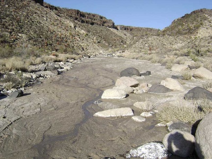 Another trickle of water
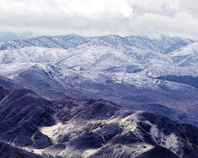 Snowfall on the Saline Range
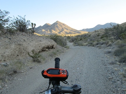 I decide I don't feeling like riding up Ivanpah Road any further and look for a campsite on adjacent Slaughterhouse Spring Road
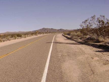 After ten miles, Kelbaker Road bends sharply away from civilization
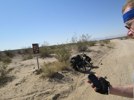 I reach the main dirt road from Primm to Nipton, often called Nipton-Desert Road, and note that I'm 10.5 miles from my next stop
 Desert rock garden
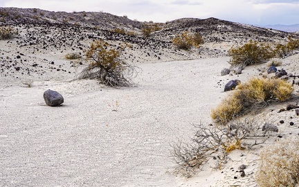 Rollin' down the river
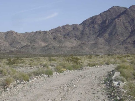 Heading up Jackass Canyon Road, I see a car coming toward me!
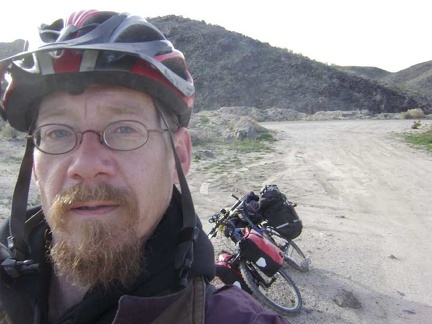 2.5 miles up Kelbaker Road, I make a brief stop at Black Tank Wash to remove my scarf and winter jacket
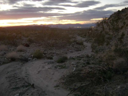 OK, I admit it--I'm lost, but not totally
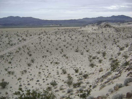 This little hill provides expansive views across the Devil's Playground
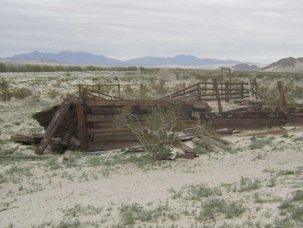 On the other side of the corral crumbles part of an old wall
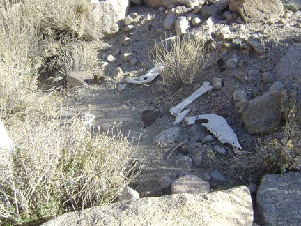 The wash forks and gets narrower, then I stumble across these bones
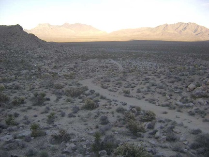 I leave the Coyote Springs stream and climb up one of the low rocky hills along the old road on the way back to my bike
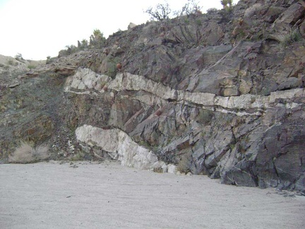 Rock layers in Indian Springs wash
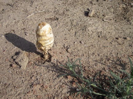 I stop just before starting the ride across Broadwell Dry Lake to check out a couple of big mushrooms
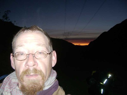 Back down in the Jackass Canyon Road wash, I resign myself to walking the bike through the kitty litter for a while
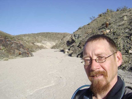 I continue up Indian Springs wash
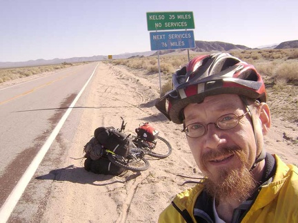 Freeway traffic behind me now, I enter Mojave National Preserve