Home 7119

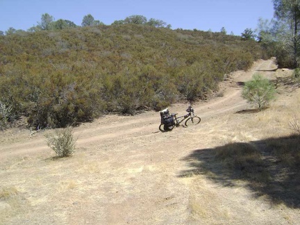 Rising up the end of Willow Ridge Road away from Mississippi Lake, to meet County Line Road on the ridge.
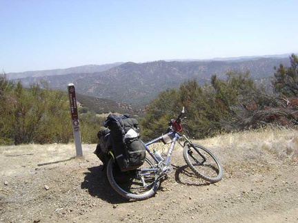 Great views across the Orestimba Creek valley from County Line Road at the junction of Hartman Trail
 Ready to pump some water at Board Spring.
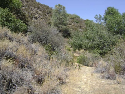 The trail to Board Spring starts out road-like, but it's rather grown-in as it approaches its end at the spring.
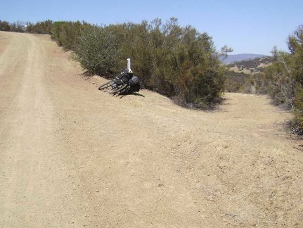 A little further down County Line Road, I reach the short dead-end trail to Board Spring (to the right).
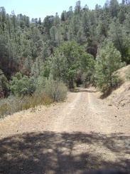 Back on County Line Road, still riding along the ridge, but descending slowly.
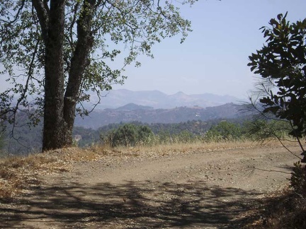 Still up on the ridge, County Line Road keeps providing great views of the valley.
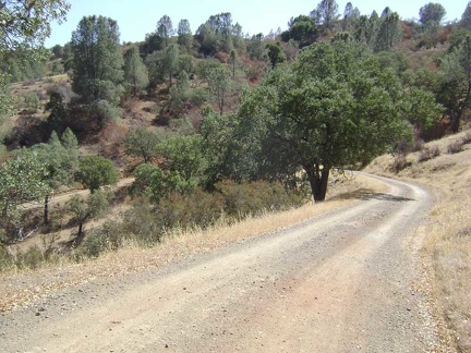 County Line Road turns east and starts snaking down the steep hillside to Orestimba Creek.
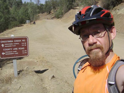 That was fun; I'm down in the valley now at Orestimba Creek and it only took 15 minutes to get down the hill.
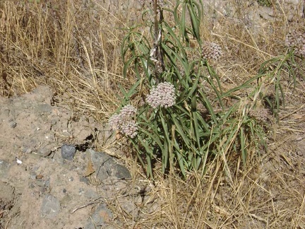 Milkweed growing along Orestimba Creek Road (asclepias fascicularis?).
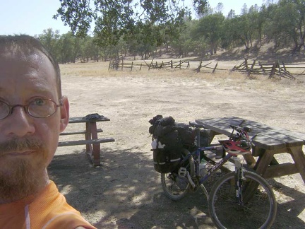 3/4 mile down the road, I stop at the old Orestimba Corral for a Clif-bar-and-water break at the semi-shady picnic tables.
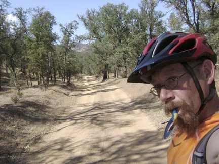 I continue riding down Orestimba Creek Road.
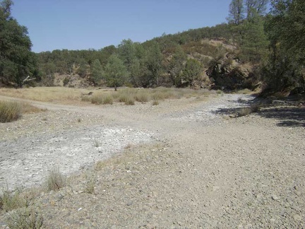 One of several dry creek crossings on Orestimba Creek Road.
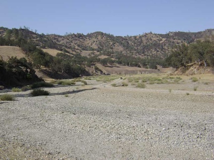 I stop on Orestimba Creek Road to check my map, thinking that I may have passed the road to Jackrabbit Lake.
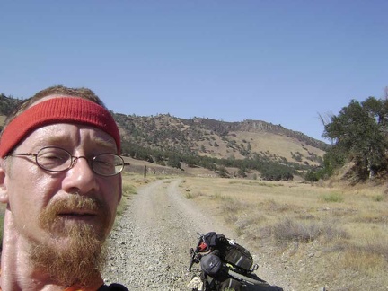 Before I remount the 10-ton bike and turn back, I snap a shot of us with the Rooster Comb in the background.
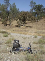 After backtracking 1/3 mile, I locate the Long Ridge Road that I missed, my route to Jackrabbit Lake
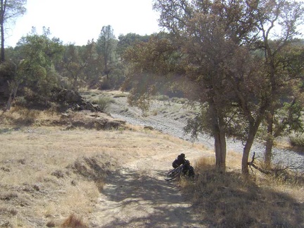 I hide in the shade of that oak at the bottom of Long Ridge Road, looking down at the gravel of Orestimba Creek Road.
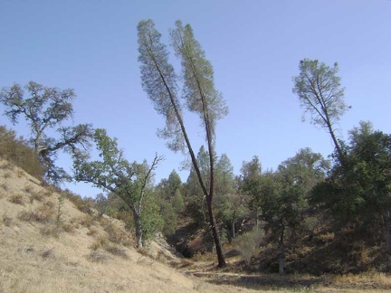 A two-prong grey pine on Orestimba Creek Road.
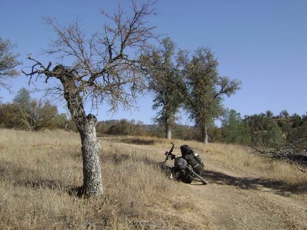 Stunted oak tree on lower Long Ridge Road.
 More oaks on lower Long Ridge Road.
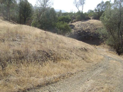 Rolling terrain on Long Ridge Road between Orestimba Creek and Jackrabbit Lake.
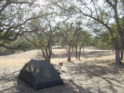 I set up camp just beyond Jackrabbit Lake.
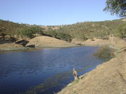 Walking down to Clark Spring, I pass pristine Jackrabbit Lake and take a closer look.
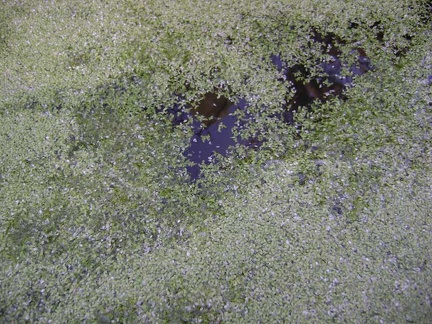 Clark Spring does not appear to be stagnant after all.
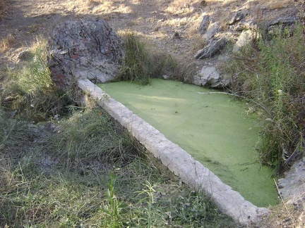 Clark Spring looks like a slice of key-lime pie. Is it stagnant?
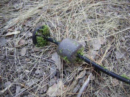 Gunk on my water filter intake tube from Clark Spring.
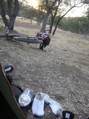 Back at the hot tent, the sun begins to set on my little plateau above Jackrabbit Lake.
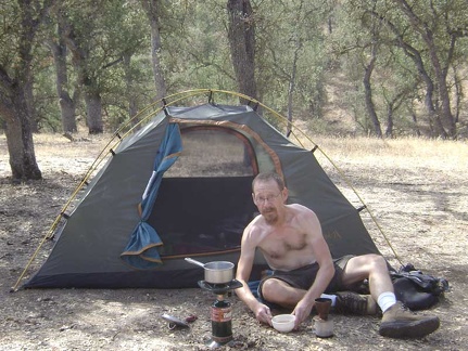 Late-morning breakfast of miso soup and coffee at Jackrabbit Lake.
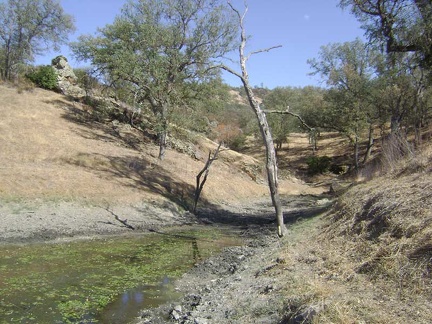 The south tip of Jackrabbit Lake shows that the lake is not at its fullest.
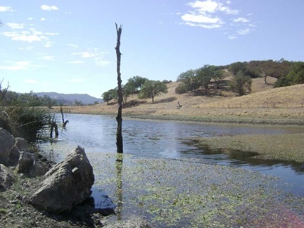 Jackrabbit Lake, looking north.
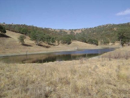 Walking past Jackrabbit Lake, looking southeast, as I begin a short day hike to Paradise Lake and back.
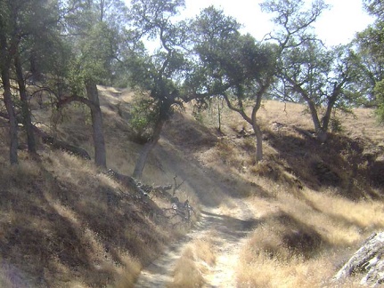 I climb up that crazy short and steep slope on the road on the way out of Jackrabbit Lake.
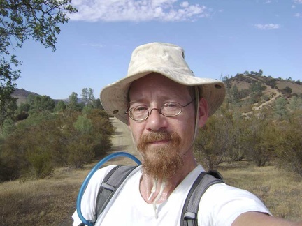 On a knoll on lower Long Ridge Road, on the way back to Orestimba Creek Road.
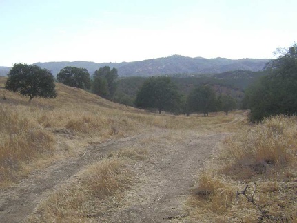 View from Long Ridge Road across the valley toward Mississippi Ridge.
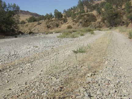 In the hot gravel of Orestimba Creek Road again.
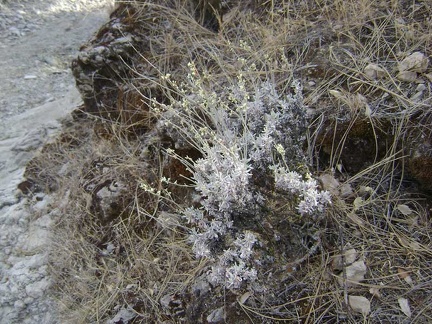 This might be some kind of buckwheat growing on the bank of the Orestimba Creek at Red Creek Road?
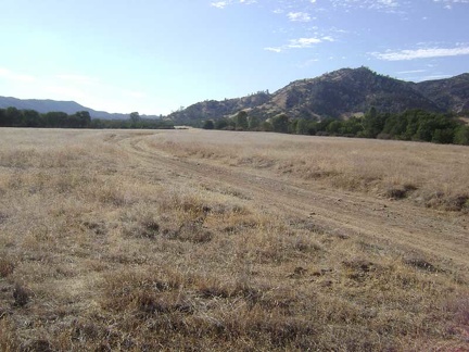 Red Creek Road crosses Paradise Flat.
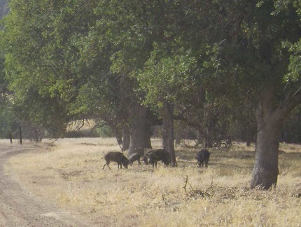 Wild pigs on Paradise Flat along Red Creek Road.
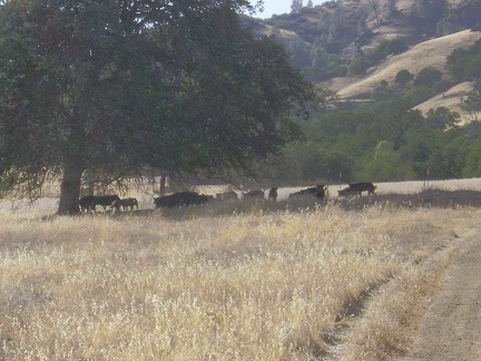 Another shot of the wild pigs on Paradise Flat along Red Creek Road.
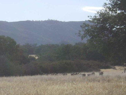 The wild pigs run away once they hear me coming up the road.
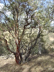 Manzanita tree along Red Creek Road.
 The dead-end road to Paradise Lake veers off to the right (north) from Red Creek Road.
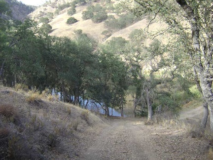 Paradise Lake sits in a private little valley at the bottom of a steep drop at the end of the road.
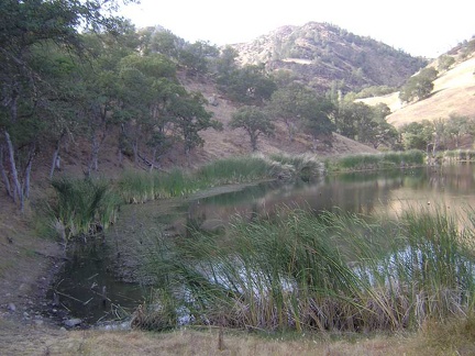 Paradise Lake is small compared to Jackrabbit Lake.
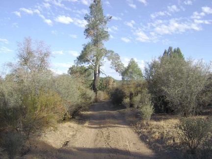 Grey pine (pinus sabiniana) along Red Creek Road on Paradise Flat.
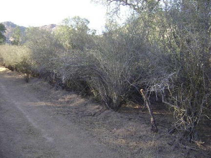 Ceanothus along Red Creek Road on Paradise Flat.
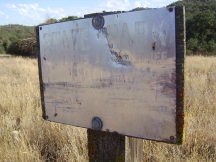 An old State Park boundary sign across the Paradise Flat meadow.
 A view of the Rooster Comb from Paradise Flat.
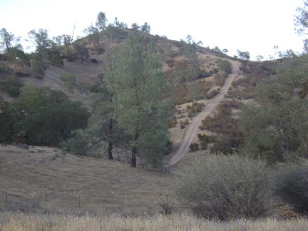 Returning to Jackrabbit Lake, I see that steep grade again further up Long Ridge Road that I was looking at this morning.
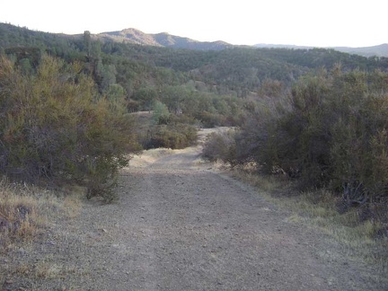 Chamise chapparal on one of the knolls that lower Long Ridge Road bounces over.
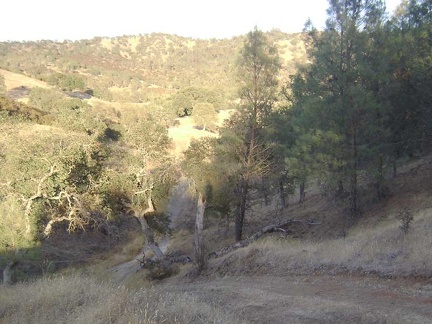 Heading down that crazy short, steep hill on the road to Jackrabbit Lake again.
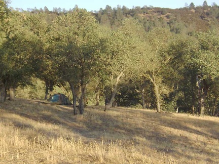 Arriving home at my Jackrabbit Lake campsite just a little before dark.
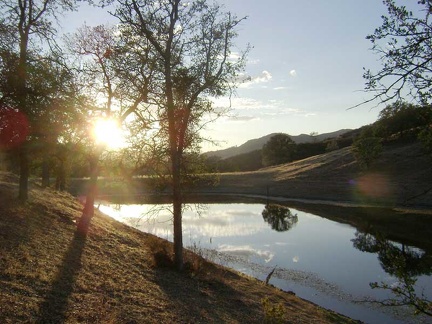 Jackrabbit Lake at sunset.
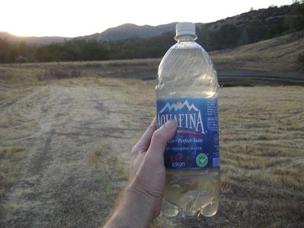 Delicious, life-giving, grey water.
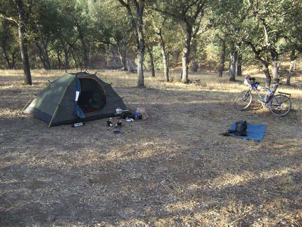 Jackrabbit Lake campsite, morning. Time to get out the iodine tablets.
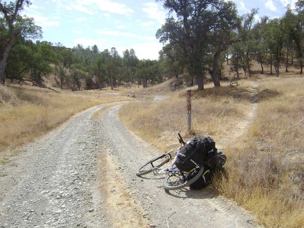 The Orestimba Creek Trail veers off the Orestimba Creek Road to the right. I'll stay on the road.
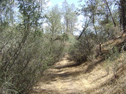 I walk a few hundred feet up the Kingbird Pond Trail.
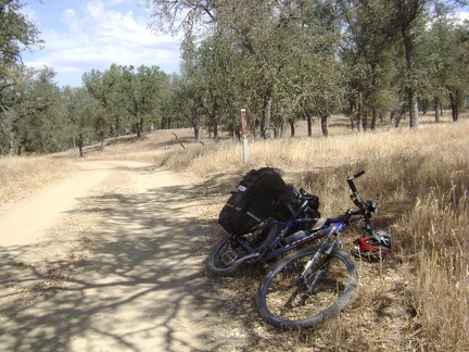 Aha, here's the trail to Kingbird Pond.
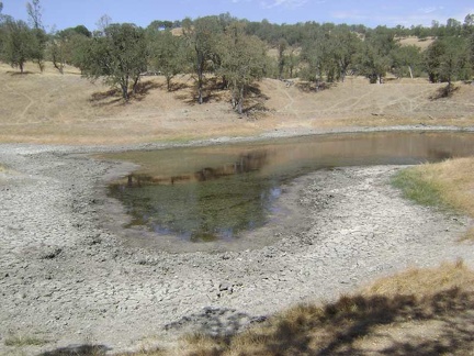 A bit further up Orestimba Creek Road, I notice Will's Pond.
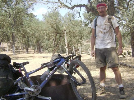 Taking a breather at the Orestimba Corral to assess our condition after crashing on the way down the hill from Will's Pond.
 Heading up the County Line Road grade toward Mississippi Ridge, stopping by a trap for wild pigs.
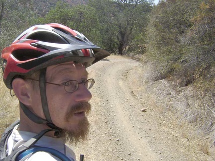 At the top of the County Line Road grade, it's time to begin the short descent down Coit Road into the Mississippi Creek canyon.
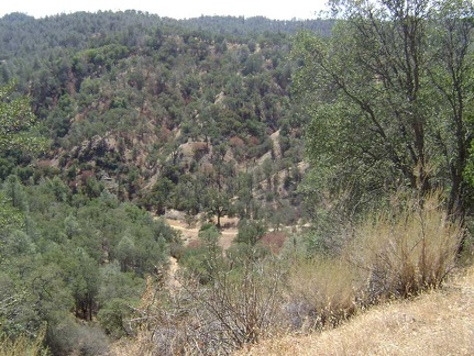 After climbing out of Mississippi Creek canyon to Pacheco Ridge, I look down into the canyon that will be home tonight.
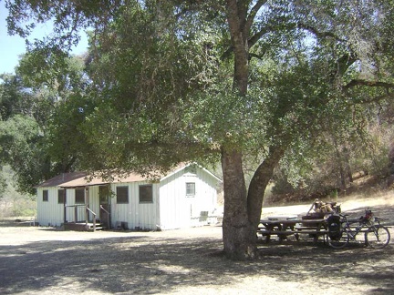 At the bottom of the canyon, I arrive at Pacheco Camp, at 1689 feet elevation.
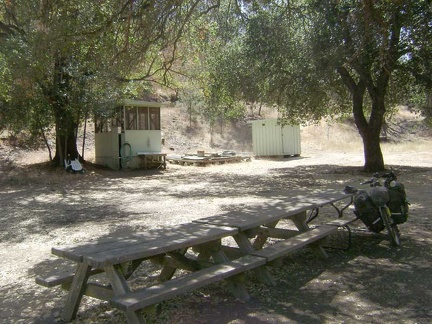 There's even a "shower building" at Pacheco Camp.
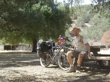 Will I get clean at Pacheco Camp?
 I walk up to the shower building to check it out.
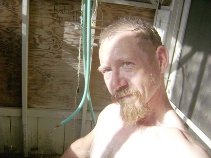 Sheesh, I was getting excited about standing under a steady stream of water, but the water is so cold!
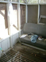 The seat in the shower.
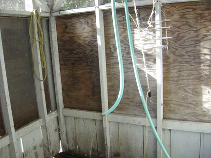 The shower hose can be suspended from a pully and then raised or lowered.
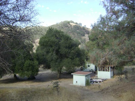 Pacheco Camp buildings as seen from just above on Coit Road.
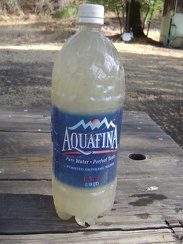 Time to throw out the iodine-tainted Jackrabbit Lake water that I've been drinking all day.
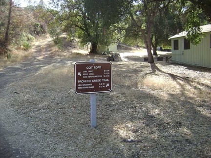 The sign on Coit Road near the Pacheco Camp cabin says that it's 16 miles to Park Headquarters.
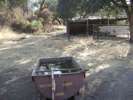 Pacheco Horse Camp.
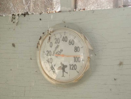 92 degrees in the shade, according to the thermometer on the side of the shower house.
 The modern, concrete, wheelchair-accessible outhouse just up the hill from the Pacheco Camp buildings.
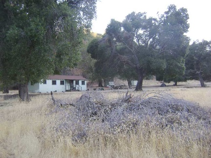 The tent hides under one of the huge oak trees at Pacheco Camp.
 An old outbuilding along Pacheco Creek Trail not too far from Pacheco Camp.
 Half a mile up Pacheco Creek Trail, the singletrack Rose Dam Trail veers off and rises eventually to Hoover Lake.
 Gnarled oak on Pacheco Creek Trail at a (dry) creek crossing.
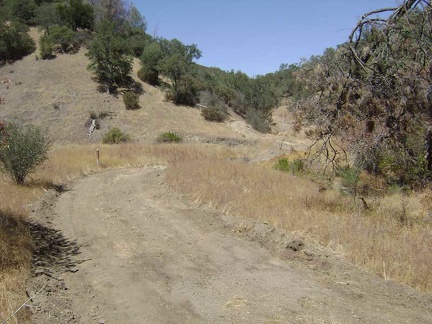 Almost two miles up Pacheco Creek Trail, I see the sign ahead for the trail to Rose Spring.
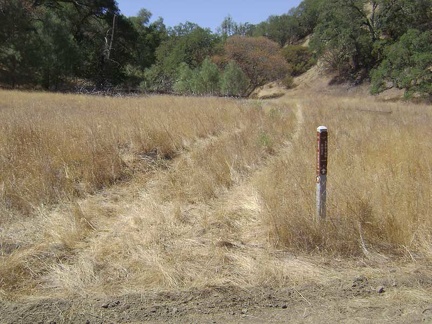 The trail to Rose Spring obviously doesn't get a whole lot of use.
 Looking for Rose Spring, it should be here somewhere.
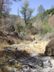 The dry creek bed near Rose Spring.
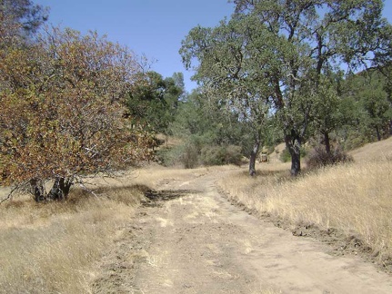 Further up Pacheco Creek Trail, a grader parked alongside the trail bakes in the hot sun, with nobody inside.
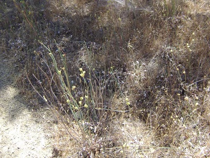 A yellow-flowered buckwheat-like plant.
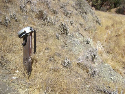 A canteen hangs on the sign indicating Canteen Trail.
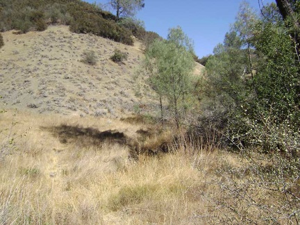 The lower part of Canteen Trail, near the spring.
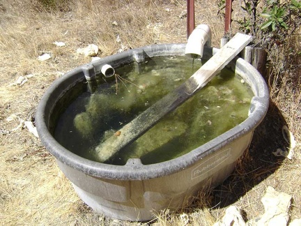 Canteen Spring is full but not flowing.
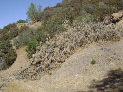 A downed pine tree blocks the first rise on the Canteen Trail.
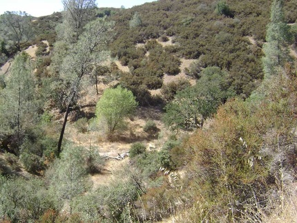 A little higher up Canteen Trail, the basin of the Canteen Spring is still visible in the centre of the photo as a white blotch.
 Canteen Trail keeps heading upward.
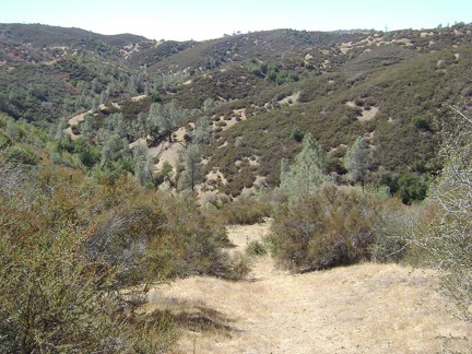 Looking back down the Canteen Trail to take in the view.
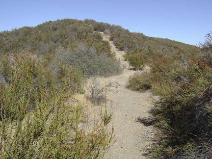 Higher up the Canteen Trail toward the top.
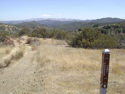 The top of Canteen Trail ends at Pacheco Ridge Road.
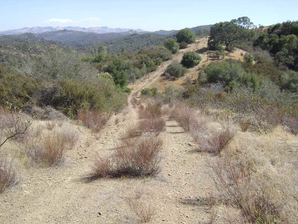 One of a series of ups and down on Pacheco Ridge Road. Awesome views up here.
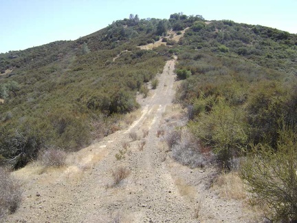 Heading up one of the rollers on Pacheco Ridge Road.
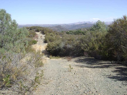 Heading down the other side of the hill on Pacheco Ridge Road that I just came up.
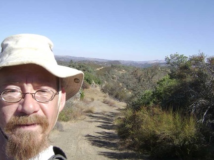 Enjoying the views up on Pacheco Ridge Road in the hot sun. My cell phone works here!
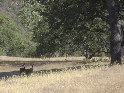 Deer near Pacheco Ridge Road.
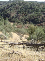 Descending Coit Road back into the canyon to my campsite at Pacheco Camp.
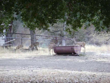 A family of deer visit Pacheco Camp to get a drink from the "horse spring."
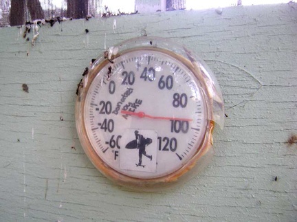 95 degrees in the shade at Pacheco Camp at 19h.
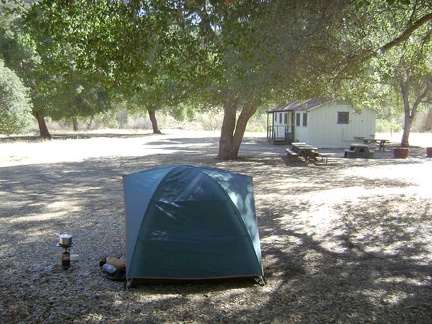 My second and last morning at Pacheco Camp.
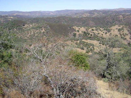 View from the look-off just off Coit Road.
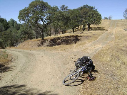 At the top of the first ridge on Coit Road (around 2400 feet), I note a spur road leading to a look-off that is not on my map.
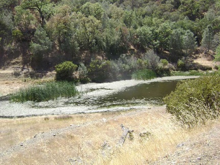 A fun short descent down the next hill on Coit Road passes the Fish and Game Pond at the bottom of the canyon.
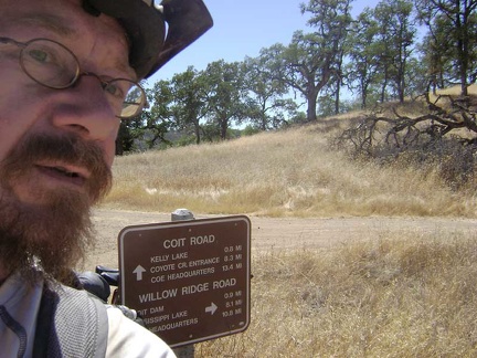 Coit Road crosses Willow Ridge Road on top of the next ridge at about 2250 feet.
 The 3/4 mile drop down into the canyon to Kelly Lake, 450 feet below, was fun.
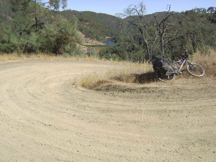 I stop on this switchback on the way up Coit Road from Kelly Lake to look back on my route.
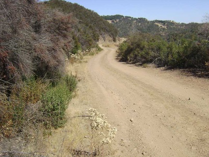 Higher up Coit Road heading toward the junction of Wasno Road.
 Regeneration of a previously burned area (perhaps a prescribed burn).
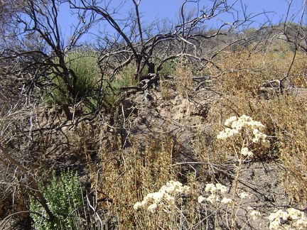 Dried flowers and burn.
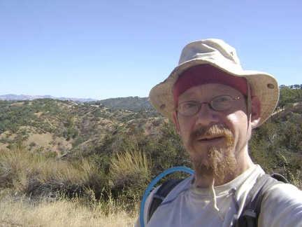 Standing on the road opposite the burned area, with a steep canyon, then Wasno Ridge, behind me.
 I walk a short distance up the road to check out a buckeye grove.
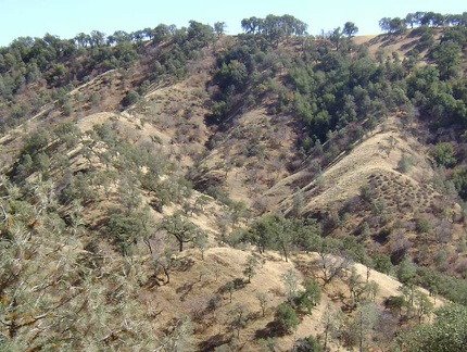 I ride up the road a little and stop again to look at the sculptural shadows of the trees on the next ridge (Wasno Ridge).
 Pinus sabiniana (grey pines) along Coit Road heading toward Mahoney Ridge.
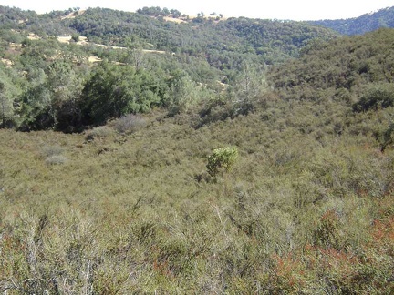 Adjacent to that stand of grey pines, a lone manzanita grows in a field of chamise.
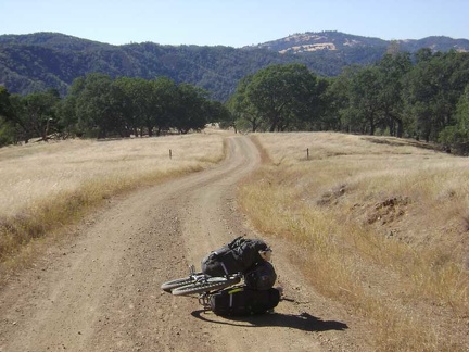 Coit Road descends toward the Mahoney Meadows area.
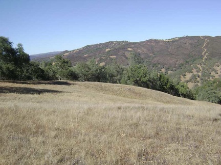 I pause along Mahoney Meadows Road to take in the view across the canyon to Willow Ridge on the other side.
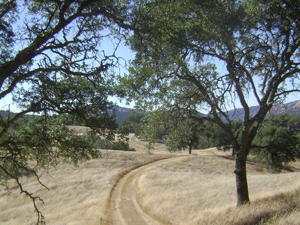 Mahoney Meadows Road continues its descent along the ridge through the meadow.
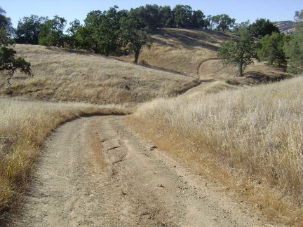 More picturesque rolling down Mahoney Meadows Road.
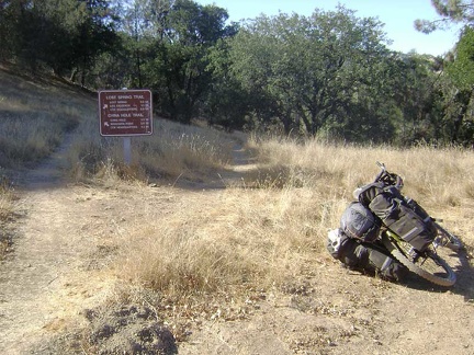 The beautiful ride down Mahoney Meadows comes to an end when I reach the intersection of the China Hole Trail.
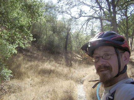 A shady area on the upper part of the China Hole Trail.
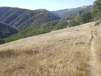 China Hole Trail pops out of the shady area and winds its way across an open meadow on the way down into the canyon.
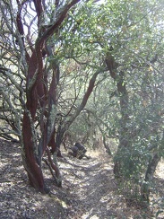 A few charming manzanitas further on down China Hole Trail.
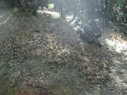 The lower part of the China Hole Trail includes a number of switchbacks.
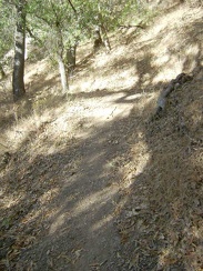 Another switchback on the lower part of China Hole Trail.
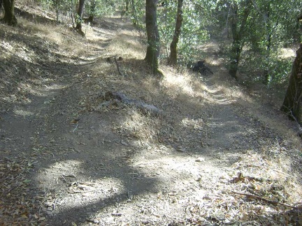 A better view of that switchback in the previous photo.
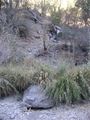 The 10-ton bike waits a few feet above the rocky bottom of China Hole Trail while I look for a campsite.
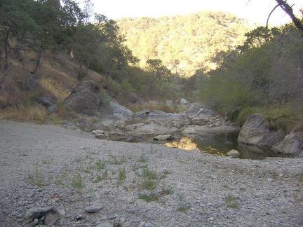 China Hole at sunset, looking northeast toward The Narrows.
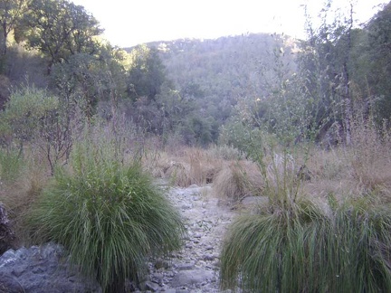 Big grasses in the dry creek bed at China Hole, looking southwest down the canyon.
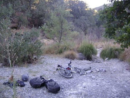 After choosing a location for the tent, I bring the bike the rest of the way down to China Hole.
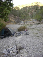 Time to call it a day. The tent is set up at China Hole (looking northeast up the canyon).
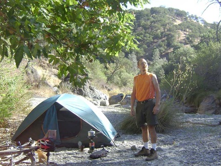 China Hole campsite this morning.
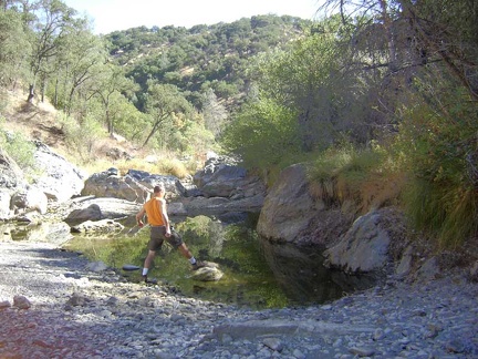 Stepping out onto a rock that rises above water level in the China Hole pool.
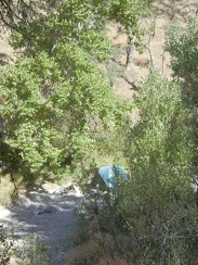 The tent, as seen from the China Hole Trail rising up the northwest side of the canyon.
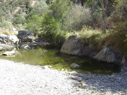 Close-up of the pool at China Hole.
 OK, I'm leaving China Hole. Crap, this is my last day in Coe Park and now I'm leaving and going back home.
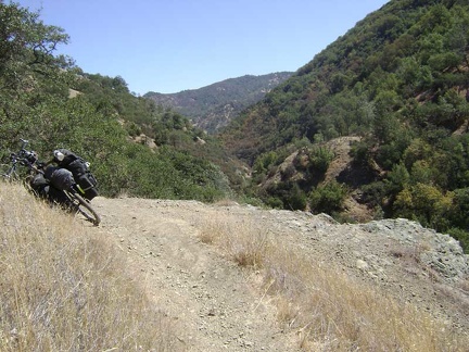 China Hole Trail rises quickly out of the canyon.
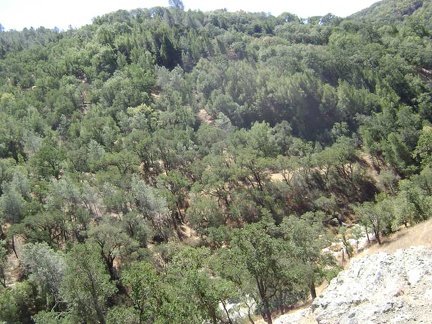 I've just turned around and am looking back down into the canyon.
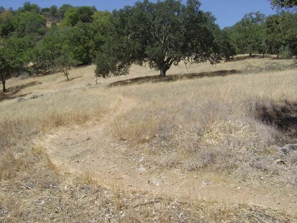 China Hole Trail winds across a meadow on its way up.
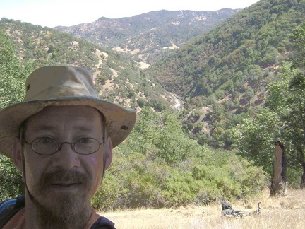 A little higher up China Hole Trail, the trail rides along a steep slope. More great views!
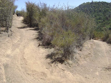 A switchback as China Hole Trail climbs through an area of thick chamise chapparal.
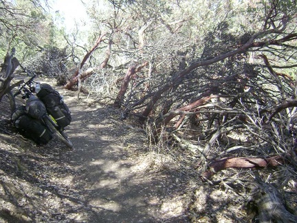 Beyond the carpet of chamise, manzanitas start appearing along China Hole Trail.
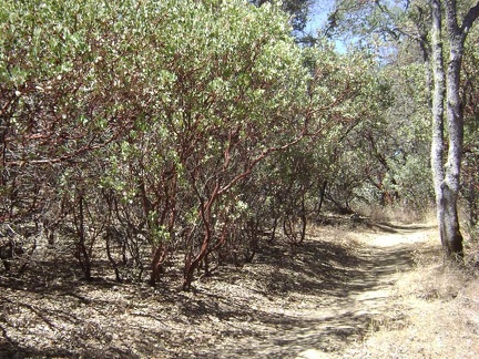 China Hole Trail levels out a bit and is easier riding for a while.
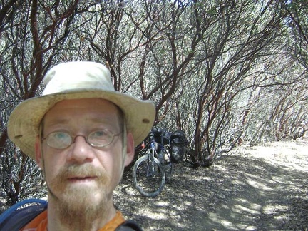 Inside the manzanita tunnel, there's more sunlight than I was expecting.
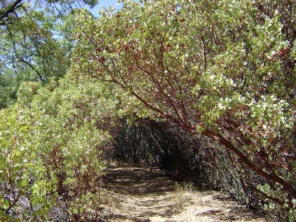 China Hole Trail enters into a tunnel of manzanitas.
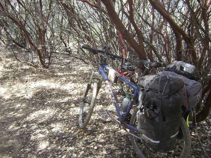 Still inside the manzanita tunnel.
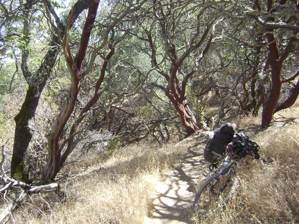 Exiting the manzanita tunnel.
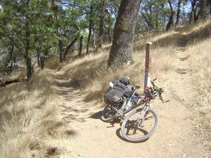 China Hole Trail ends when it reaches Manzanita Point Road.
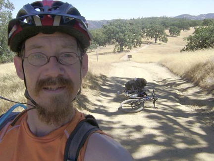 Rising up Manzanita Point Road toward Park Headquarters. A small low-flying airplane passes overhead.
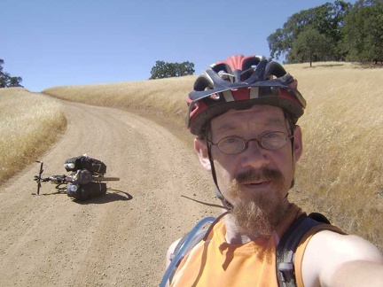 Coming up one of the last hills on Manzanita Point Road on the way back to Park Headquarters.
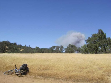 I reach a flat area on Manzanita Point Road and see smoke not far away; looks like a brush fire in Henry Coe State Park.
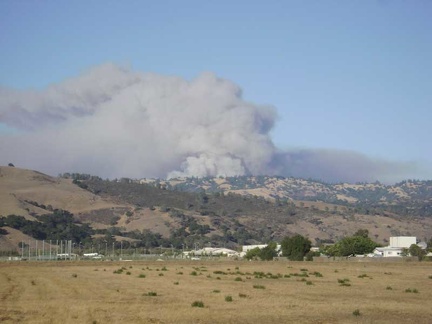 The Henry Coe brush fire has grown a lot since my last photo four hours ago.
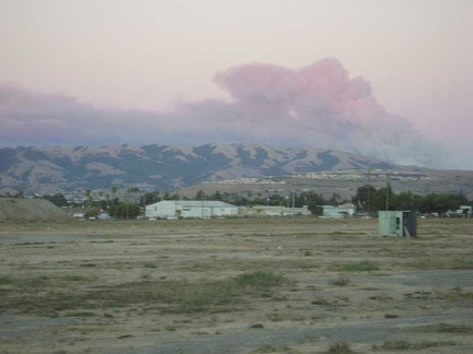 Cotton-candy smoke from the Henry Coe brush fire at sunset in central San José.
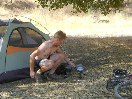 After a good long sleep, I make two cups of strong coffee as usual to get the day going
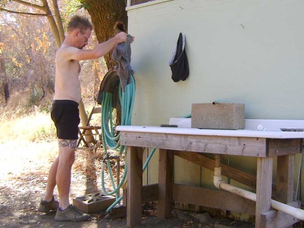 I fetch the clothes that I left overnight hanging near the Pacheco Camp sink
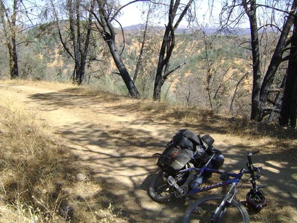 I leave Pacheco Camp around 12h30 and within 30 minutes I'm on the ridge above riding through a semi-shady stand of burned pines
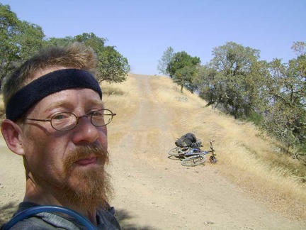 Hot and sweaty already, I park the 10-ton bike at the top of Coit Road and walk up the short hill to "Radio-tower Peak"
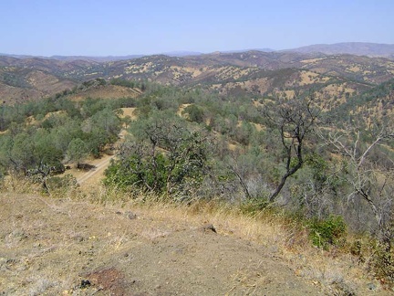 Great views from up here
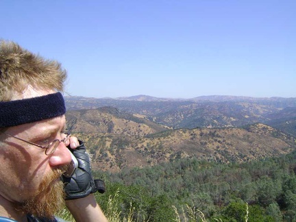 I try making a cell-phone call here, and it works!
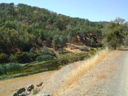 After a short descent (about a mile), I pass the Fish and Game Pond
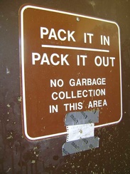 Despite the standard-issue sign on the outhouse at Coit Lake, there is in fact a trash can here
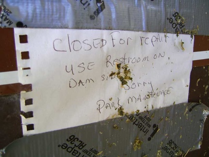 Apparently, this outhouse at the south end of Coit Lake is closed for repairs right now
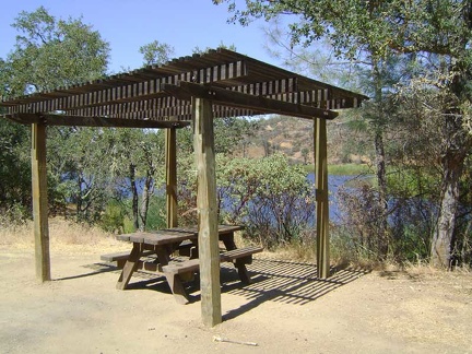 The ramada and picnic table at the south end of Coit Lake
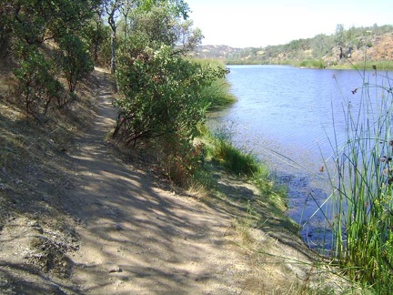 I go for a brief walk up the trail along the shore of Coit Lake
 Next is the short climb (1/3 mile, 150 feet elevation gain) up Coit Road to the next crest on the way to Kelly Lake
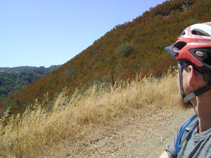 On the way down the 3/4 mile hill to Kelly Lake
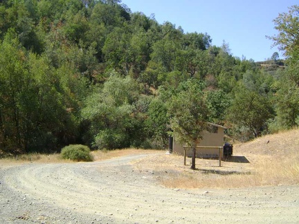 I park the 10-ton bike on the shady side of the Kelly Lake outhouse and go for a short walk toward the lake
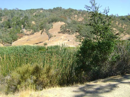 As I walk up the Kelly Lake dam, I see a tent near the lake in the distance
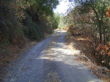 Back on the 10-ton bike, I begin the ride up out of Kelly Canyon on Coit Road
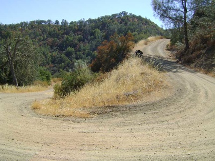 I rise out of the shady section and back into the hot sun at a tight switchback on Coit Road
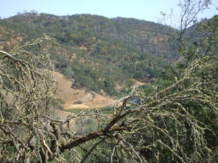 Nice view back down into the canyon and Kelly Lake
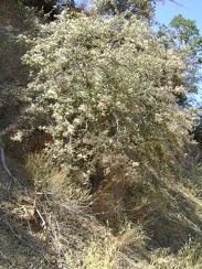 A lush mountain mahogany shows off its creamy-white post-bloom seed heads, which are just as nice as flowers
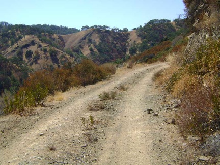 Coit Road rises along a ledge through chamise chaparral toward the Wasno Ridge area
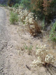 Along here are numerous "California everlasting" plants with their dry flowers
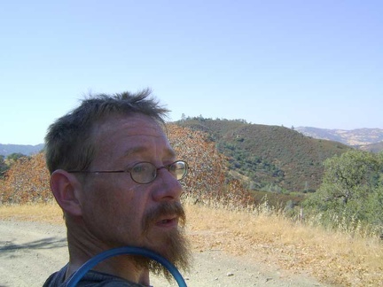 A little more pedalling and I cross the high point of Coit Road with its grove of buckeye trees sporting reddish leaves
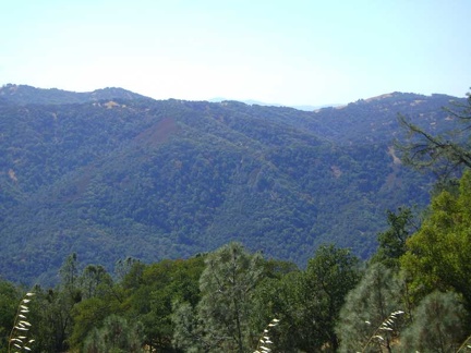 I get the faintest glimpse possible across Silicon Valley while riding down Coit Road toward Mahoney Meadows
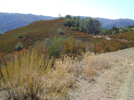 Now that I've passed the 2470-foot summit of Coit Road, it's downhill to China Hole, tonight's campsite at 1150 feet
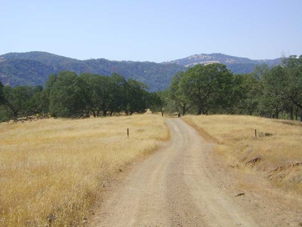 Beyond the chamise chapparal, Coit Road crosses grassland and eventually becomes Mahoney Meadows Road
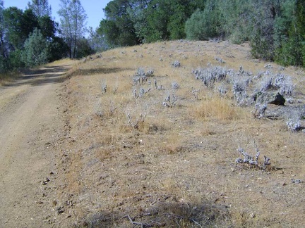 A few short uphills await me on the way down to China Hole
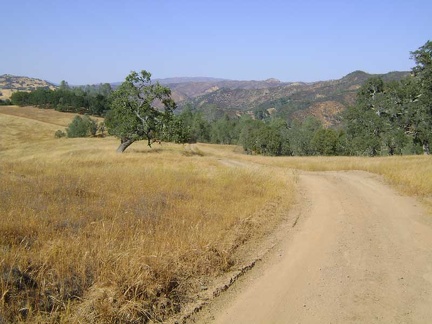 Expansive views across to the Willow Ridge area on the right and far beyond as Mahoney Meadows Road descends
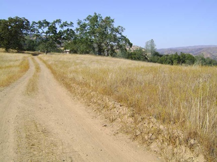 Oh, an outhouse ahead!
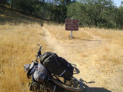 I leave Mahoney Meadows Road and take the left trail fork toward China Hole
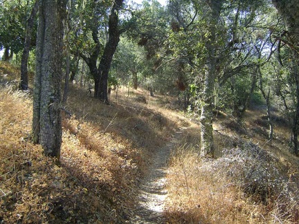 China Hole Trail drops down 700 feet into the canyon over two miles of nice single-track
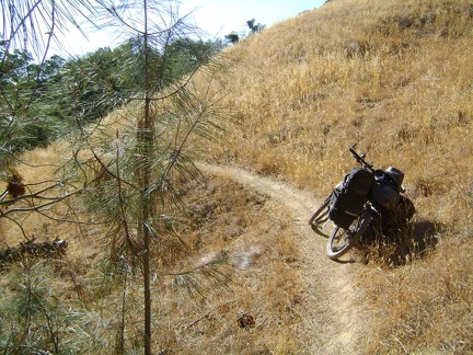 China Hole Trail exits the oak woodland on the crest and begins winding its way downhill across grassland
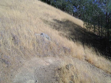 One of many tight switchbacks on the way down China Hole Trail
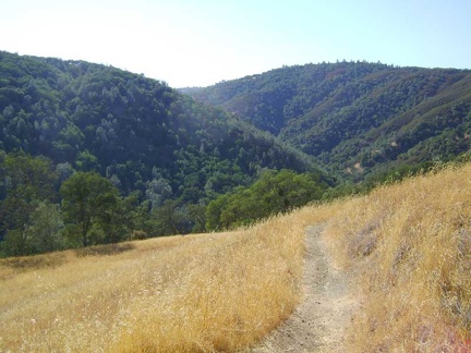 Nice views across the canyon from the parts of China Hole Trail that cross open grassland
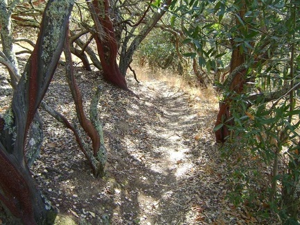 Now I'm on my favourite part of this side of China Hole Trail, where it passes through a manzanita grove
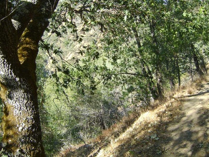 Getting closer to the bottom of the canyon, which is almost visible through the trees
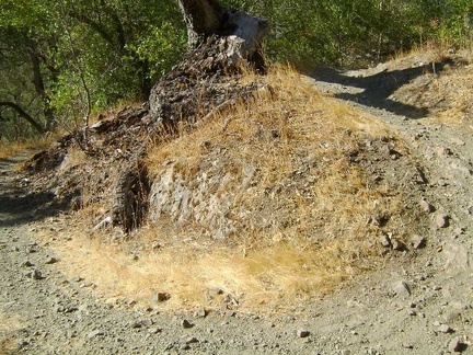 Another switchback near the bottom of China Hole Trail
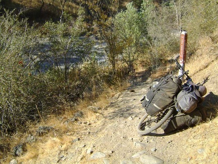 And here's China Hole, the gravel area to the left, which is actually a fork of Coyote Creek covered by water in the wet season
 Before setting up camp, I check out the water situation at China Hole
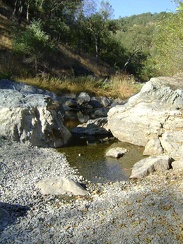 The larger pool at China Hole still has a decent supply of water
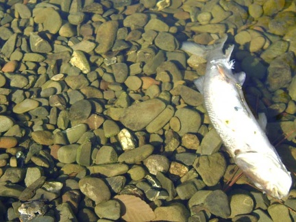 A dead fish rests in the large pool at China Hole
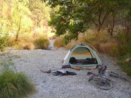 I set up camp on the flat gravelly spot next to the China Hole Trail crossing of the dry creek
 I go outside the tent for a moment barefoot (which I usually never do) and step on a yellowjacket: instant sting
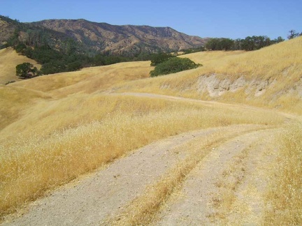 I follow the road across the west end of Paradise Flat and then dip down into Red Creek
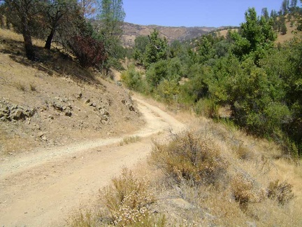 Orestimba Creek Road rises a bit above the canyon, which becomes rather narrow after a while