Home / Mojave Preserve and Desert bikepacking trips / 2010, Mojave National Preserve / Day 1: Baker, California to Kelso Peak area, Mojave National Preserve 31
My goal today is to ride up Kelbaker Road, get out of the valley of heat that is Baker and camp at cooler ground (high 90s forecast today), in preparation for tomorrow's hike to Kelso Peak. 24.7 bicycle miles, 2800 feet elevation gain.

 Yesterday, after an Amtrak bus ride from San José, an Amtrak train picked me up in Stockton, California
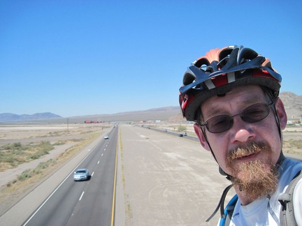 This morning, after breakfast buffet at the Big Boy, I ride the bridge over the freeway and enter Mojave National Preserve
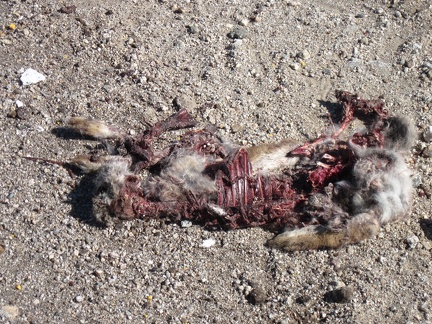 Riding around the bend toward the power lines at a blazing 6 miles per hour, I interrupt the supper of two vultures and a crow
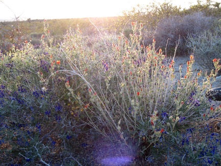 Orange desert mallow flowers and dark-blue indigo bush near my powerline-road campsite near Kelso Peak
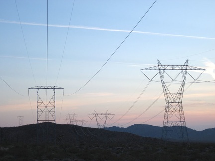 One of two major powerline routes that cut across Mojave National Preserve
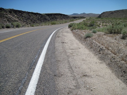 One of my favorite moments of riding up Kelbaker Road is when I reach the edge of the lava, at left, about 13 miles out of Baker
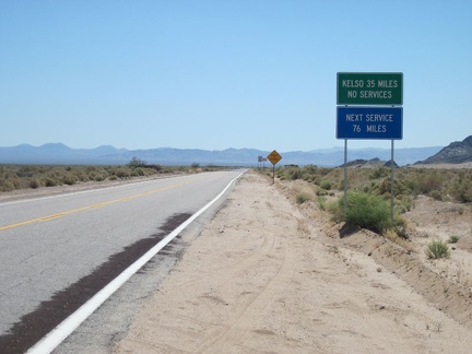 Once across the I-15 freeway on Kelbaker Road, this Mojave National Preserve trip is really starting
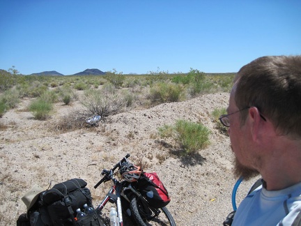 Oh look, my first balloon sighting of this Mojave National Preserve trip (that white thing)
 My next hot-and-sweaty break is an hour later at Aiken Mine Road, which leads off toward the cinder cones and the lava tube
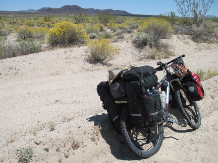 My next break along Kelbaker Road is near the road to the Rainy Day Mine site, with the cinder cones in the background
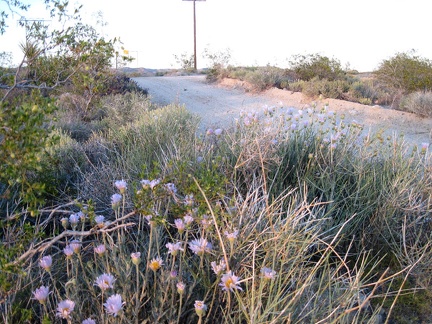 More Mojave asters along the powerline road near Kelso Peak
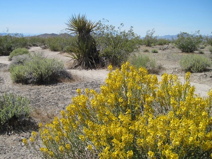 More desert senna blooms, and sweet scent, along Kelbaker Road
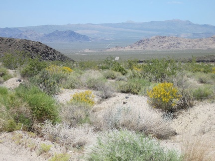 Looking behind me down Kelbaker Road, I've risen about 1500 feet over approximately 16 miles
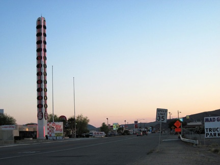 Last night's sunset at Baker, California, home of the world's tallest thermometer, was a pleasant pinkish glow
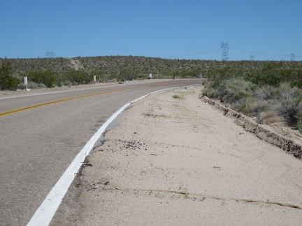 Just ahead of me, the power lines cross Kelbaker Road at about 3700 feet elevation; the powerline road is my goal for the day
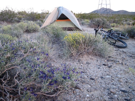 Indigo bush blooms near my tent close to the powerline road
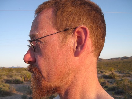 I think it's time to wash off the bits of salt that have formed on my face during the day's sweating
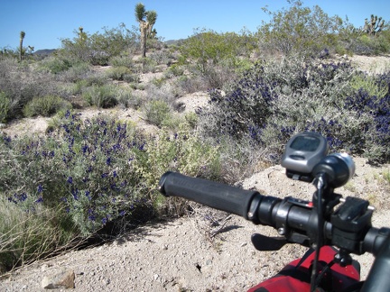 I take note of some blooming indigo bushes as I get closer to the powerline road
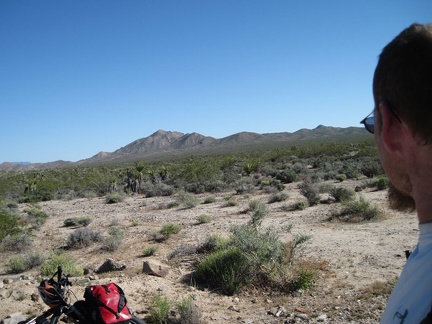 I stop at the Kelbaker Road summit and junction with the powerline road to look at Kelso Peak, tomorrow's hiking destination
 I set up my tent, then go for a walk; Mojave asters along the powerline road near Kelso Peak
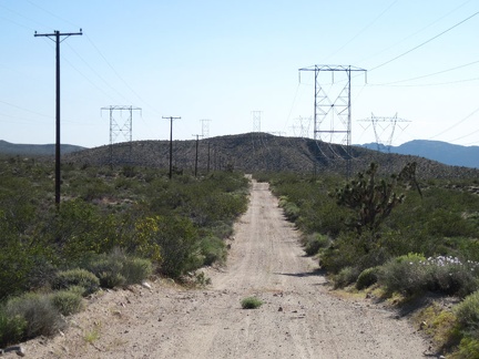 I ride down the powerline road a short distance and begin looking for a campsite; wow, the heat has really fried me today
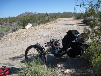 I park the 10-ton bike and go for a walk when I see some openings in the landscape that might make for a good campsite
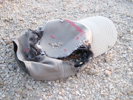 I chuckle when I find a Budweiser-decorated cap on the powerline road
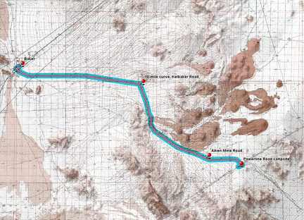 Baker to Kelso Peak powerline road route (Day 1)
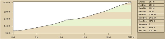 Baker to Kelso Peak powerline road elevation profile (Day 1)
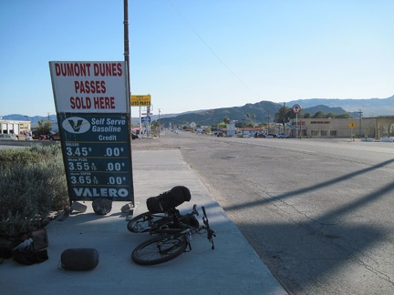 After the Amtrak train ride to Bakersfield, an Amtrak bus dropped me off at Baker, California late yesterday afternoon
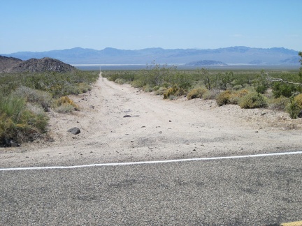 A while after my break at Kelbaker Road's 10-mile curve, I pause as I pass the dirt road that leads down to 17-Mile Point
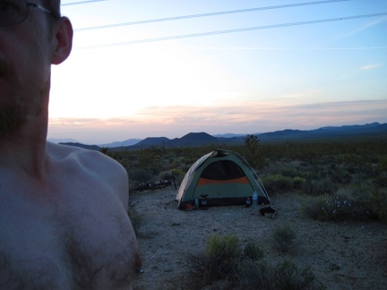 A nice sunset and views of the cinder cones end my first day of this trip
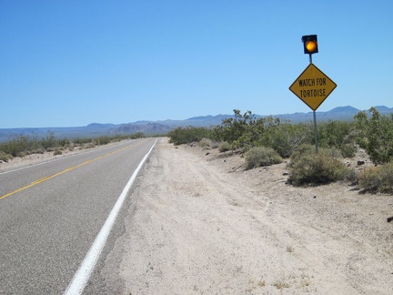 A few miles further up Kelbaker Road is the "watch for tortoises" sign; I still haven't seen one yet
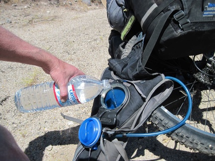 A bit further up Kelbaker Road, I stop again to refill my Camelbak, which has run dry again; any excuse for a break is good
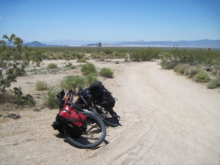 10 miles up Kelbaker Road out of Baker, I stop for a break at "the big curve," where the road turns almost 90 degrees