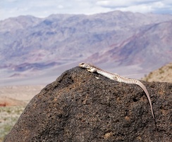
Home 7119

 Just enjoying the view...
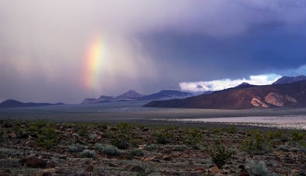 Rainbow
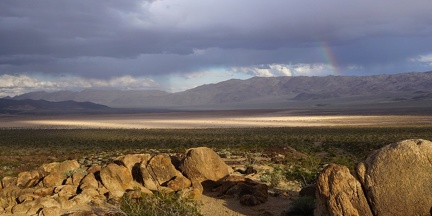 Dry lake storm brewing
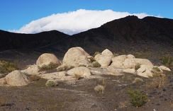 On-stage
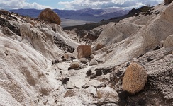 Tic tac toe
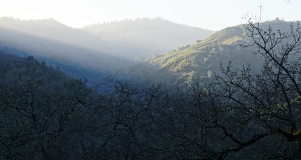 Sundown over Poverty Flat
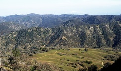 Miller Field, Henry Coe State Park
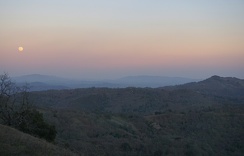 Dusk, Wagon Road
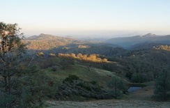 Cattle pond near Wagon Road
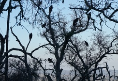 Tree of vultures, Center Flats Road
 Unexploded ordnance
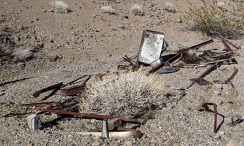 Slow burial
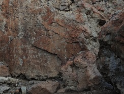 We were here
 Not quite random
 Historic fencing
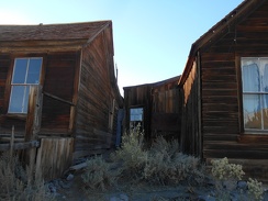 Space between two houses, Bodie Ghost Town
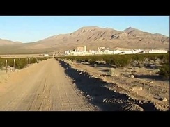 Arriving Primm, end of dirt road, entering the new suburban wasteland
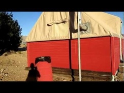 Time to get acquainted with my tent cabin at Nipton where I'll be spending the night
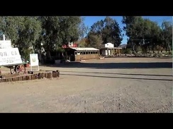 I ride a couple hundred feet on pavement, then pull over into the Nipton parking lot to rent for tent cabin for the night
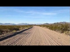 Next stop Nipton!
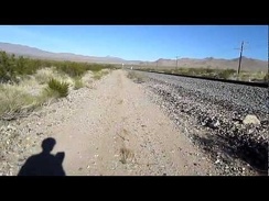 10 beautiful-but-bumpy miles of riding along the train tracks from Ivanpah Rd to Nipton
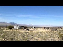 I zoom down the short paved stretch of Ivanpah Rd between Slaughterhouse Spring and the train tracks
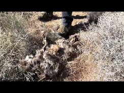 Ken and I chat for a while on the side of Ivanpah Road while his dog discovers roadkill nearby
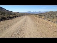 Time for some fun: downhill riding on Ivanpah Road toward Ivanpah Valley, leaving the inner part of Mojave Preserve
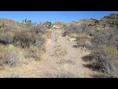 I'm packed up and ready to leave my Ivanpah Road campsite near Bathtub Spring
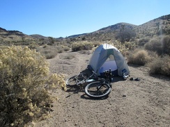 It was cold overnight, but I wake up to one last beautiful desert morning in Mojave National Preserve
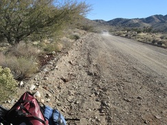 After our hearty chat, Ken drives away and I remount the 10-ton bike for the ride down Ivanpah Road on my way to Nipton
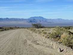 Back on the 10-ton bike, riding down the dirt of Ivanpah Road, the pavement starts by that sign just ahead
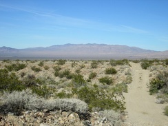 Back on a dirt road (Nipton-Moore Road): straight ahead are the McCullough Mountains; I wish I had time to head up there today
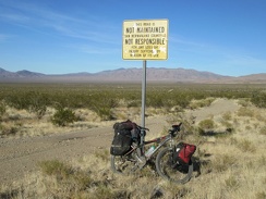 Gotta love the bureaucrat sign here: This road is not maintained by San Bernardino County, etc
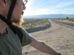 My dirt-road riding comes to an end today as I arrive at the highway that is Nipton Road
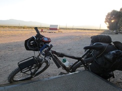 I can see the New York Mountains peaks from the porch of tonight's tent cabin at Nipton
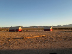 The other tent cabins on the Nipton property are vacant tonight, so it should be a quiet evening
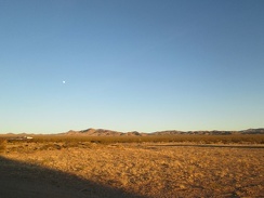 The nearly full moon is up already over the New York Mountains, waiting for the sun to go down
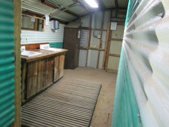 After a good meal at the Nipton Café with good company, the real luxury is a shower for the first time after 8 backcountry days
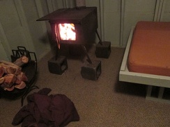 I get a good fire going in the stove in my Nipton tent cabin, but it takes me a while; I'm in bed before midnight
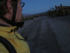 I leave the bliss of my Nipton tent cabin before sunrise for the 12-mile ride to Primm, purposefully, as if it were a work day
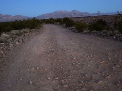 After passing Desert siding, no more pavement, and the final 7 miles to Primm will be on this bumpy surface
 As the sun begins to rise, the Clark Mountain Range catches a nice pink light
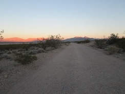 I'm enjoying the sunrise glow, but anxious for the sun to rise completely and warm up my cold fingers!
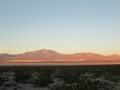 As the sun rises, the light cast on the Clark Mountain Range slowly morphs from pink to orange
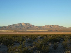 Pink and orange morning light have disappeared; now it's merely golden light
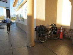 At Primm, I stop for breakfast at the Mad Greek, and follow up with coffee at the Starbuck's; see y'all next year...
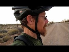 It's so quiet up here on Ivanpah Road at sunset; I'm hoping the quiet lasts the whole night
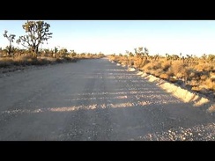 Therapeutic repetitious motion: riding into the Joshua tree forest on Ivanpah Road
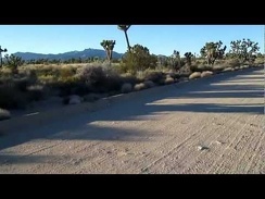 It's great to be riding up Ivanpah Road's smooth surface after walking the bike a few miles
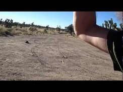 I take at break at the junction of the Mojave Road and Ivanpah Road
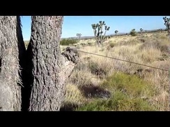 I stop at the Mojave Road tollgate and deposit a few pennies
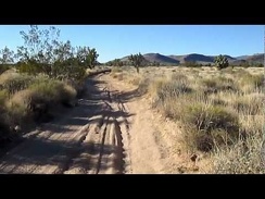 Another short break on the Mojave Road, to refill the water in my bottle
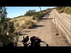 Vietnamese-deer-jerky break on the old Mojave Road
 OK, I'm now officially on the sandy part of the road; time to get off the 10-ton bike and push it!
 I make a stop at one of several junctions on the old Mojave Road, another decision point
 I pack up and begin riding westward on the old Mojave Road from Piute Gorge
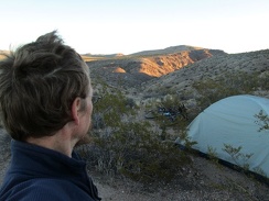 I'm up bright and early this morning to pack up camp and catch some sunrise glow on the Piute Gorge hills
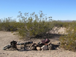 I hate packing up, but it's always fun to see all my stuff packed into the relatively small size of my saddlebags
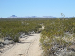 On some parts of the Mojave Road, I have nice views across Lanfair Valley to familiar areas like Table Mountain
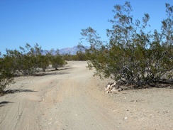 I ride past one of the many cairns that mark the Mojave Road
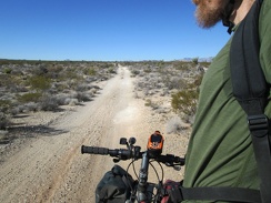 I ride around a corner and discover more solid road surface on the old Mojave Road ahead
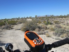 I like these little rollers on the Mojave Road
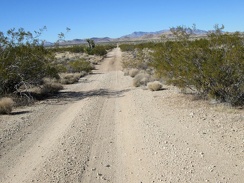 A long straight segment of the road waits for me ahead
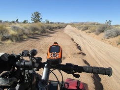 Oh, I like this: I get out of the sand for a short stretch
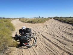 I arrive at another 4-way intersection, thinking it's the Mojave Road, but it isn't
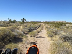 I decide to try this rarely used road, but it quickly degenerates, so I turn back and decide to follow the main road again
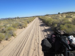 I turn around for a moment to look at my tire and foot tracks in the sand
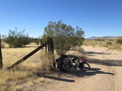 I stopped at this old corral when I rode past here a few nights ago
 Here I pass the only motor vehicle I'll see between Piute Gorge and Ivanpah Road
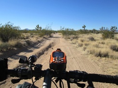 I pass another intersection and I'm on the Mojave Road again (there's a bit of firm ground for me to ride on here)
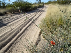 I pass a few early Desert mallow flowers along the Mojave Road
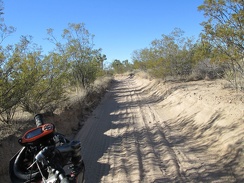 A few segments of the Mojave Road, like this one, have essentially turned into a drainage channel
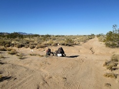 I arrive at the junction of Lanfair Buttes Road, ride it a little, then turn back as soon as I reach more sand
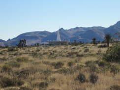 I know I'm getting close to Ivanpah Road when I can zoom in for a close-up of a nearby radio facility
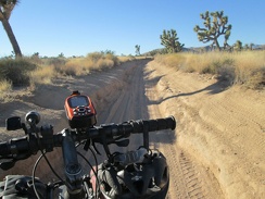 This stretch of the Mojave Road provides an off-camber driving experience
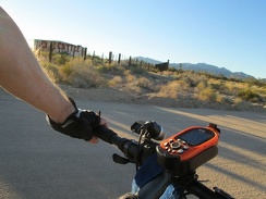 It's always fun to pass by the old OX Ranch site on Ivanpah Road
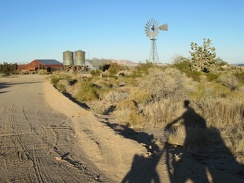 I ride over to the old windmill and corral at the OX Ranch site and spend a moment looking around
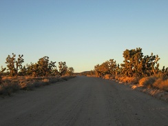 It's that great time of day in the desert when the sun starts to go down
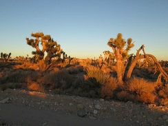 I take a break here to watch the Joshua tree forest on Ivanpah Road turn orange
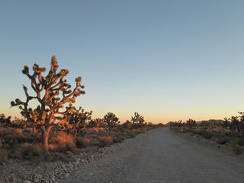 Looking behind me (south) on Ivanpah Road, the lighting is a bit pinker
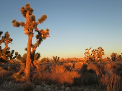 The sunset colors change subtly, minute by minute, at this time of day
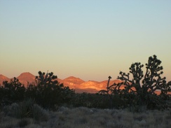 The orange light has just stopped lighting up the Joshua trees, but still casts a glow on the Castle Mountains over there
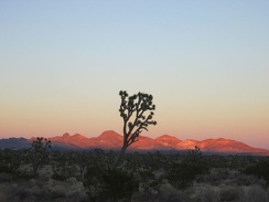 Two minutes later, the orange glow on the Castle Mountains is fading into pink as the belt of Venus forms
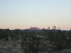 A lavender glow continues to illuminate the Castle Peaks for a few more minutes
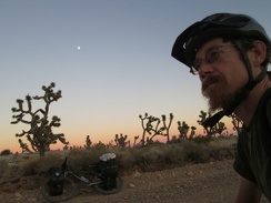 On the Ivanpah Road, the belt of Venus has become the defining light
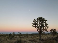 Five minutes later, the belt of Venus still persists, stolid, colorfast
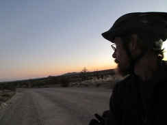 I take one last look toward Hackberry Mountain into the fading sunset, put on my sweater, and ride away
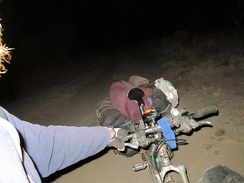 In less than an hour, I complete the gentle climb to the top of Ivanpah Road (4900 ft elev.); I stop to change my GPS batteries
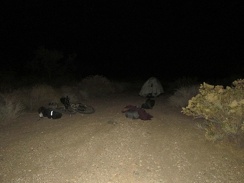 Almost 4 miles down Ivanpah Road, I pull into a wash and set up camp 1/10 mile in, concealed from the road; it's still cold here
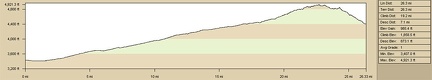 Elevation profile: Piute Gorge to Bathtub Spring by bicycle via Mojave Road and Ivanpah Road
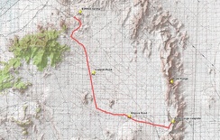 Route: Piute Gorge to Bathtub Spring by bicycle via Mojave Road and Ivanpah Road
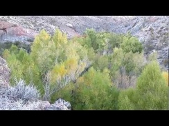 I climb up the hill a little, hoping to get around some of the brush along Piute Creek
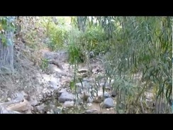 A little bit of bushwhacking as I explore Piute Creek, looking for a nice spot to sit down and filter water
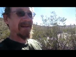 Another morning at Piute Gorge; strong winds this morning, and I try to sleep in a little
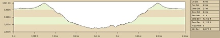 Elevation profile of Old Government Road day hike to Piute Spring from Piute Gorge campsite
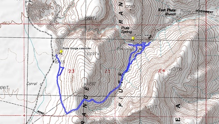 Route of Old Government Road day hike to Piute Spring from Piute Gorge campsite
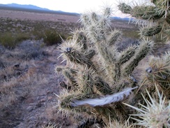 A bird feather is stuck in this cholla cactus
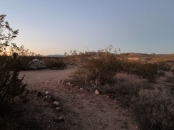 I arrive home at the tent just as it's getting dark; my first job is to add chlorine tablets to my water, to make if drinkable
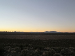 I drop down a final 150 feet with views across the entire Lanfair Valley to the New York Mountains
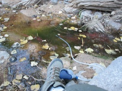 I pick this spot in the shallow stream, just deep enough to filter water; lots of cottonwood leaves floating around
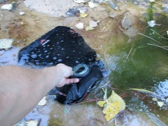 Ooops, my water filter has clogged, so I resort to dipping my 10-litre water bag in the stream
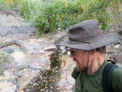 My water bag is 3/4 full now, so it's time to leave the quiet babbling brook and walk back up the hill to my campsite
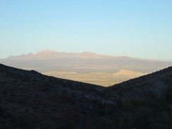 It's about 30 minutes before sunset, perfect time to be climbing a big hill in the Mojave Desert
 I end up off-trail for a short distance on my way up the hill
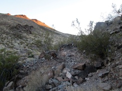 I'm on the Old Government Road again here (the old alignment of what we today call the Mojave Road)
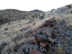 Another view of the Old Government Road roadbed
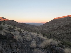 I turn around on my way up the Old Government Road to take in the sunset
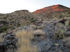 Almost at the top!
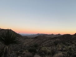 The sunset and belt-of-Venus view at the top of the Old Government Road is as good as it's going to get
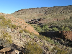 There's a moon in the sky!
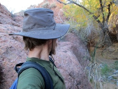 I walk back down to the canyon floor: big rocks, willow trees and cottonwoods along Piute Creek
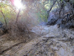 Layers of roots, dropped foliage and sand drainage in this dry part of the Piute Creek bed
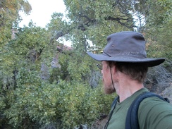 I walk through a few cottonwood trees to get back to the stream that emanates from nearby Piute Spring
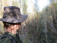 I cross through some of the riparian brush at Piute Creek
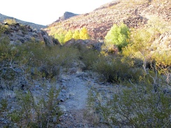 I don't find any of the old road, but I do find parts of a trail here in Piute Canyon
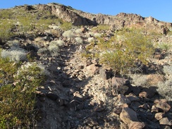 I follow the trail a short distance up a hill, but this is headed away from the stream that I want to follow
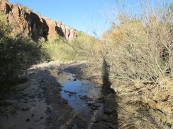 It's fun to explore randomly, but I'm also here to fetch more drinking water
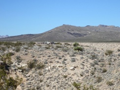 While getting ready for today's hike down to Piute Spring, I have my first and only sighting of humans for the day
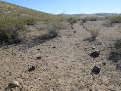 This part of the Piute Gorge Trail is marked by rocks, but there are few footprints here to keep the trail alive
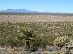 As I gain a little elevation, I can see the rounded corral that I rode past yesterday
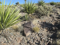 On my way up the hill, I pass by this engraved rock
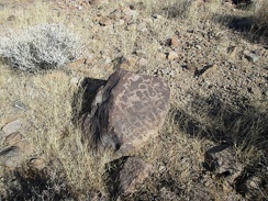 And here's another one...
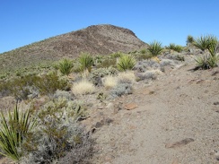 The Piute Gorge Trail joins the Old Government Road and I approach the crest
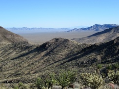 Nice views across the next valley toward the Dead Mountains Wilderness area, outside Mojave National Preserve
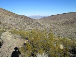 From here, I'll start winding my way downhill toward the Piute Spring area
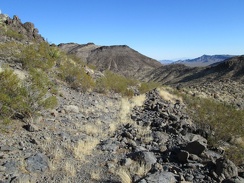 Today, not much remains of the Old Government Road except for some rock build-up
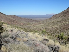 Sometimes, the old trail is washed out
 I arrive at the wash headed toward Piute Creek and follow it downward
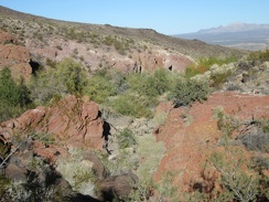 At the bottom of the wash, I walk around looking for P G s that are indicated on one of my maps
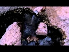 I start filtering water at Hackberry Spring at dusk, and finish just before dark
 I park the bike and go looking for the spring: I know it's here somewhere!
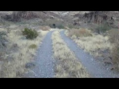 I reach a relatively smooth patch of the road and can ride again, looks like I may make it to the spring before dark after all
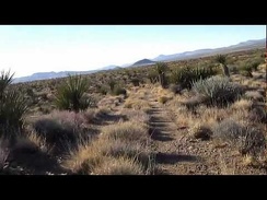 Now the fun begins, a bit of rough rolling-road mountain biking overlooking Lanfair Valley
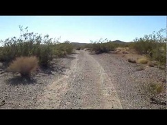 I turn on the road to the old Rattlesnake Mine site
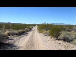 I ride west on the pipeline road toward the old Rattlesnake Mine area
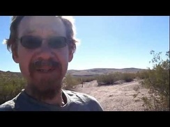 A bright and sunny morning overlooking Piute Gorge
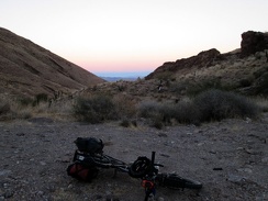 I arrive at the end of the road, happy to make it before dusk
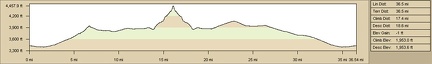 Elevation profile of bicycle route, Piute Gorge to Hackberry Spring via Rattlesnake Mine
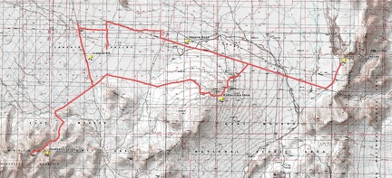 Round-trip bicycle route, Piute Gorge to Hackberry Spring via Rattlesnake Mine
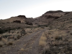 Just a few hundred feet further...
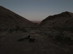 I've just finished filtering my water and it's getting dark; time to ride back to camp at Piute Gorge, in those distant hills
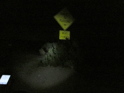 I ride 2 miles on Ivanpah Road before turning off on the Mojave Road to head back to Piute Gorge; I arrive home a bit past 21h
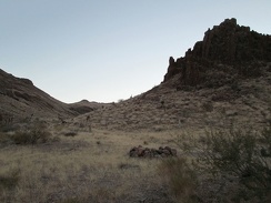 I want this campsite!
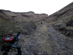 I'm almost at the spring, but it's much easier to walk up this rocky stretch than to try riding up it
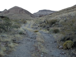 I come around a corner, and the sun is behind the mountains now
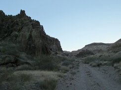 Rocky hills along the road into the Hackberry Mountains
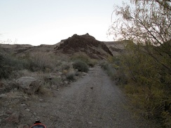 Fine gravel!
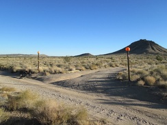 This private property in the Bobcat Hills area is marked by plastic pumpkins
 My road ends, and I scoot across Ivanpah Rd to start riding the road into the Hackberry Mountains
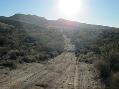 The first part of the road into the Hackberry Mountains is a bit sandy and bit rough
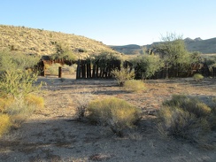 I pass an old corral in the Hackberry Mountain foothills
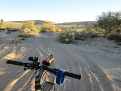 Predictably, I have to walk the bike across this sandy wash crossing on the way into the Hackberry Mountains
 It looks like signage has been recently re-erected to remind people to not drive their 4WD vehicles in the Wilderness area
 This stretch of the road is pretty soft, and I have to walk the bike a bit
 This short, steep and eroded piece of road makes me wonder if it will get worse
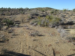 The road almost becomes invisible in a few spots on the way up the hill
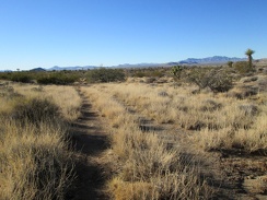 One thing I enjoy about this road is the changing landscape
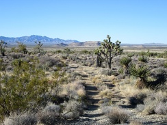 A scattering of Joshua trees dot this transitional Mojave landscape
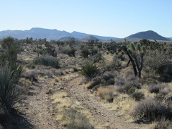 Sunset will be a couple of hours from now; I'm trying to decide whether to go all the way to Hackberry Mountain, ahead at left
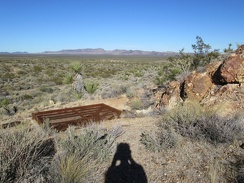 This unusual metal grate over a mine hole is apparently intended to keep the mine shaft open to bats
 The views from the Rattlesnake Mine rooster-comb extend all the way across the Lanfair Valley to the New York Mountains
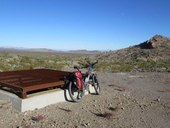 From the Rattlesnake Mine site, I still have views across the valley to my Piute Gorge campsite, that slot in the distant hills
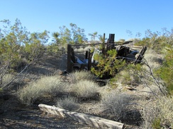 I take a look at some crumpled structure remains near Rattlesnake Mine before continuing my bike ride
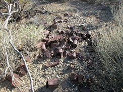 Everyone loves a good historic desert can dump, don't they?
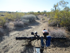 Beyond Rattlesnake Mine, the old road gently climbs another 200 feet or so
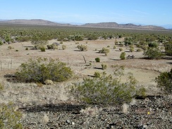 From the Rattlesnake Mine site, I have a clear view across the valley to my Piute Gorge campsite, that slot in the distant hills
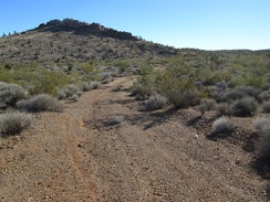 A little further up Rattlesnake Mine Road, I decide to go for a short walk up to the top of the rooster-comb ahead
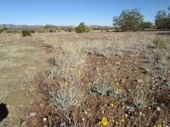 A few yellow flowers (Encelia farinosa perhaps) bloom at the old Rattlesnake Mine site
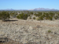 This part of the old Rattlesnake Mine site has great views over to both the Castle Peaks and the Castle Mountains
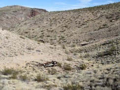 I take a look down into the canyon at an old discarded truck before heading out on today's bicycle ride
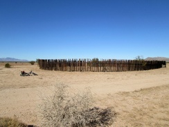 Shortly after I start today's bike ride, I ride past an old circular corral
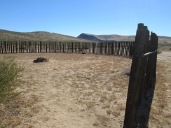 Inside the corral is a fire ring
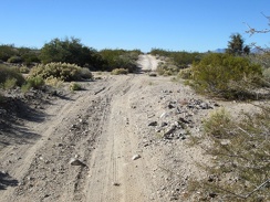 Just before I start riding up the pipeline road here, I run into Bryan and his sons in their pickup, and we have a great chat
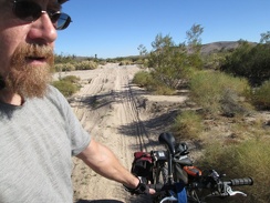 I have to walk the bike across several sandy wash crossings on the pipeline road
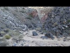 Hiking down Piute Canyon is like entering another world
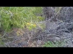 I push my way through the willows and locate Piute Creek, then filter some drinking water just before dark
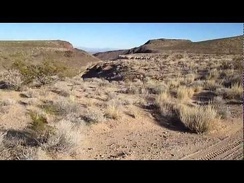 Riding by Piute Gorge, looking for a campsite
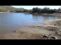 A walk around Piute Pond
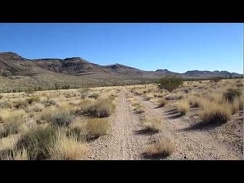 Riding toward the Piute Range
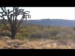 Morning at The Lost Campsite
 Elevation profile of Piute Canyon/Piute Spring hike
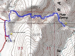 Hiking route: Piute Canyon to Piute Spring
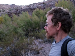 About two gallons of water filtered from Piute Spring, I hike back up the canyon to my campsite
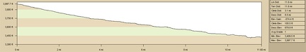 Elevation profile of bicycle ride to Piute Gorge
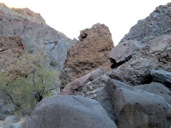 Big boulders in Piute Canyon
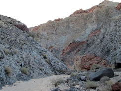 Piute Canyon: down we go...
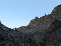 A half-moon looks down at me while hiking Piute Canyon
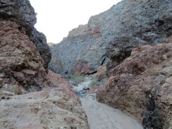 It must be dramatic when water gushes down this well-worn drainage in Piute Canyon
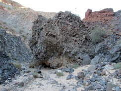 This huge ball of rocks seems to have tumbled down the hillside in Piute Canyon
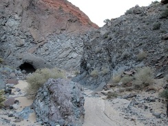 I should be close to Piute Spring now
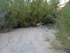 I come around another rocky bend and arrive at trees, mostly willows: Piute Spring is here somewhere
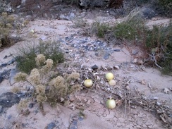 I pass a few coyote melons on the way back up Piute Canyon and arrive at my campsite just before total darkness
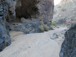 Here's a little rock shelter in Piute Canyon
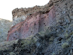 Colourful layers of earth are exposed in Piute Canyon
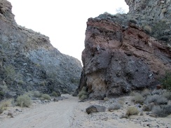 Some of the layers are tilted
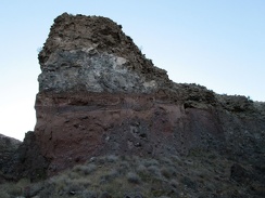 Layers exposed by erosion
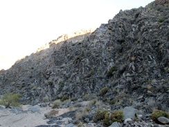 This rock-wall segment in Piute Canyon has a crumpled appearance
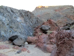 Rust and grey-blue in Piute Canyon
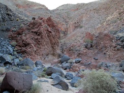 Boulders strewn about in Piute Canyon
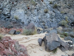 Layers of sandy sediment are exposed here and there in Piute Canyon
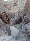 A couple of steep steps down here in Piute Canyon
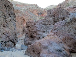 I pass through a slot in Piute Canyon
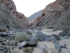 Piute Canyon opens up a little