Home 7119

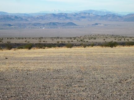 Zooming in, I can make out the tidbit of civilization that is Ludlow, California along old Route 66 and I-40
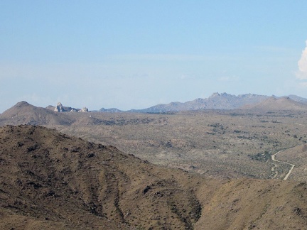 Zooming in really hard, I can see some of the rock turrets at Eagle Rocks, not far from tonight's home at Mid Hills campground
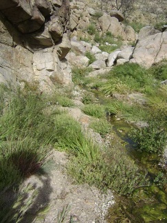 Yup, it's a stream
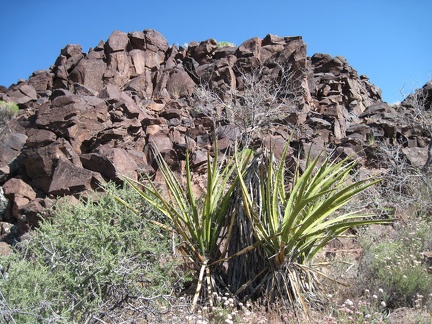 Yuccas in Woods Wash near the exposed rock
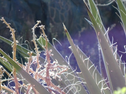 Yucca spines
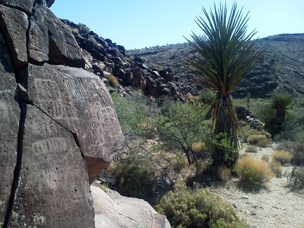 Yucca in Woods Wash, plus some bonus carvings
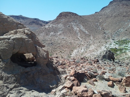 You could crawl through this rock igloo near Cave Spring
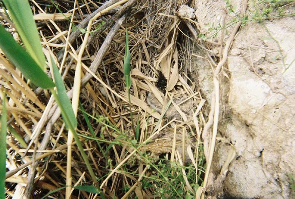 You can't see it here, but there's a thin layer of water on the ground under all the grass
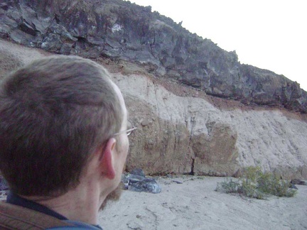 Yet more neato rock layering effects
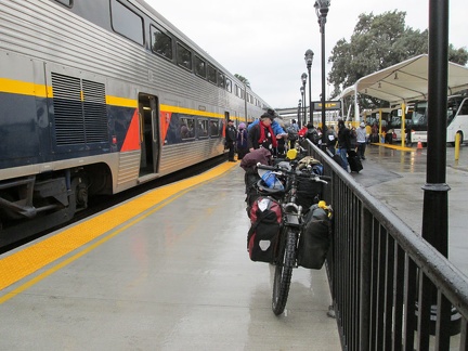 Yesterday, to get out here, I boarded the Amtrak train in Stockton, followed by an Amtrak bus to Primm, NV in the Mojave Desert
 Yesterday, I took the Amtrak San Joaquin train with my bicycle down California's Central Valley
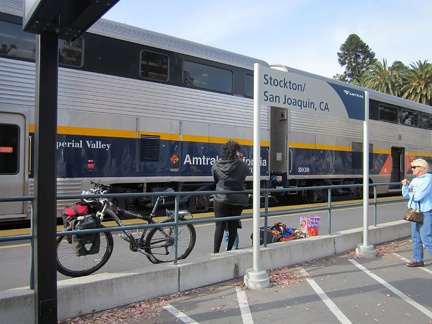 Yesterday, I boarded the Amtrak train with the 10-ton bike at Stockton, California, after a short Amtrak bus ride from San José
 Yesterday, after an Amtrak bus ride from San José, an Amtrak train picked me up in Stockton, California
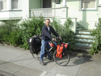 Yesterday morning I left San José and took Amtrak train and bus to Baker, California to start the trip
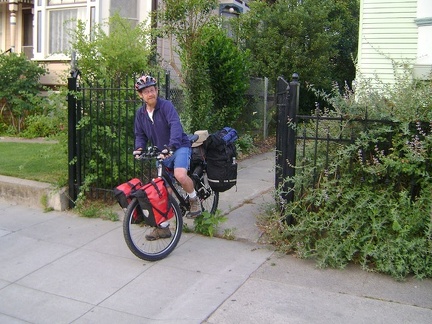 Yesterday morning I left home and rode to the San José Amtrak station for my rides to Baker, California
 Yes, that should be the stream from Cornfield Spring, that green patch right there
 Yes, Cave Spring, Mojave National Preserve, just ahead
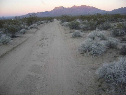 Yep, it's getting darker by the minute
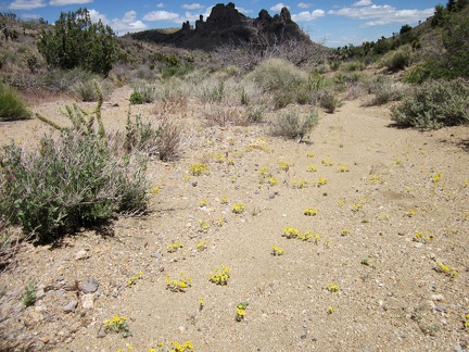 Yellow Eriophyllum wallacei flowers are scattered intermittently in this Castle Peaks wash
 Yellow early-sunset glow in the Cady Mountains, on the other side of Broadwell Dry Lake
 Yellow desert marigolds decorate the shoulders of Nevada 164 east of Crescent Peak
 Yellow desert marigolds and purple desert four o'clocks grow by this juniper near Indian Spring, New York Mountains
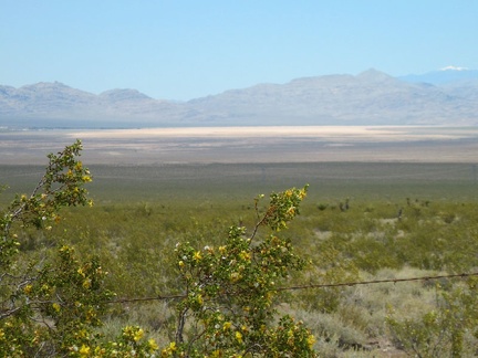 Yellow creosote bush flowers, barbed wire, Ivanpah Dry Lake, and that white peak in the distance
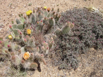 Yellow and peach cactus flowers next to the small pink blooms of range ratany, adjacent Wee Thump Wilderness, Nevada
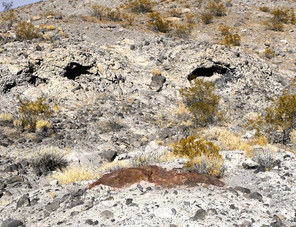 Wry Canyon smiles back at me, Death Valley National Park.
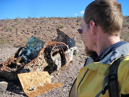 Wow, this must be the most shot-up thing I've ever come across!
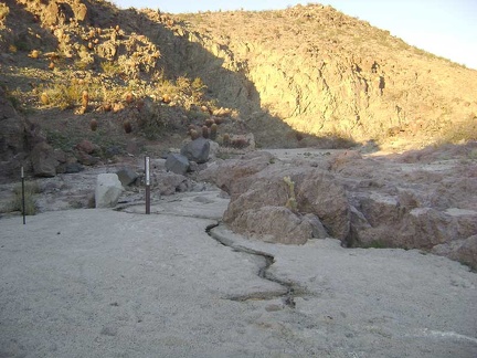 Wow, there's a trickle of water here at Indian Springs
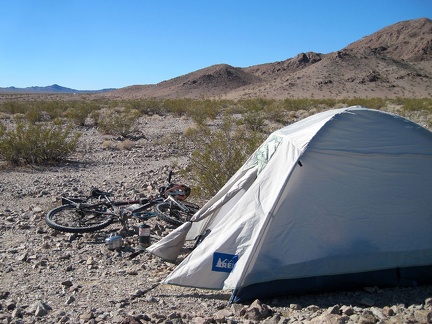 Wow, I've really overslept this morning, just woke up at 11h30 after a rather sleepless (and cold, low 20s) night
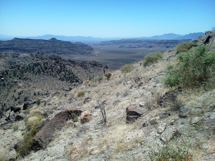 Wow, I've never seen all of Gold Valley like this before...
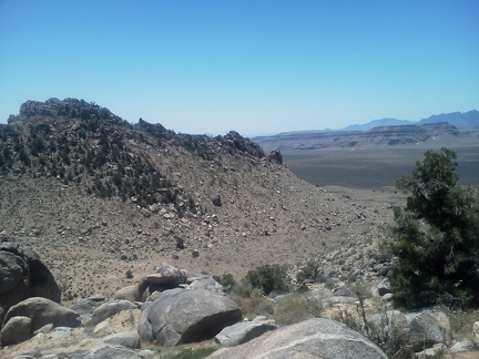 Wow, I can now see across Gold Valley to the Hole-in-the-Wall area where I hiked yesterday
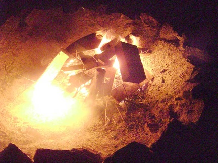 Woohoo, the fire is starting to burn!
 Woods Wash Valley Road continues through remote territory
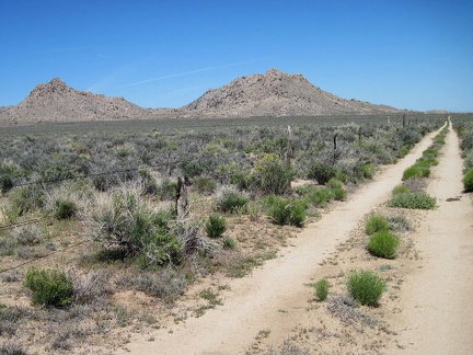 Woods Wash Road makes a two-mile U-shaped detour around the government property
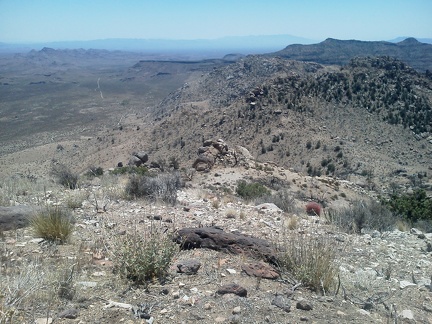 Woods Wash Road is visible in this view from the side of Table Mountain
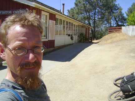 Woo hoo, I've made it back to Henry Coe Headquarters and my week spent in the Park comes to an end
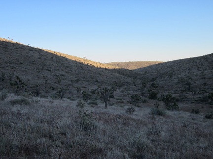 Within 15 minutes, the sun has dipped enough that my upland valley here is largely shaded
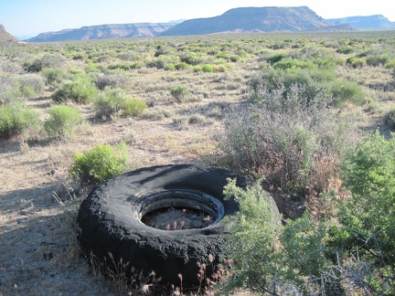 With Wild Horse Mesa in the backgound, I spot an oversized and eroded old tire along Woods Wash Road
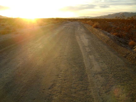 With the setting sun in my eyes, I ride more quickly than usual down Kelso Dunes Road because the surface has just been graded
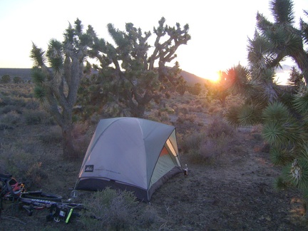 With the Button Mountain road 100 feet from my tent, I watch a nice sunset through the joshua trees toward the Cow Cove area
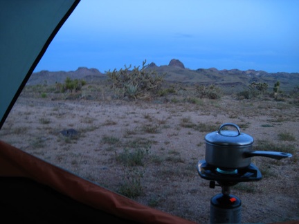 With sunset completed, it's time to boil water for tonight's instant meal and settle in for the evening
 With sunset at Mail Spring comes a bit of relief from the day's heat, followed by thousands of stars in a moonless sky
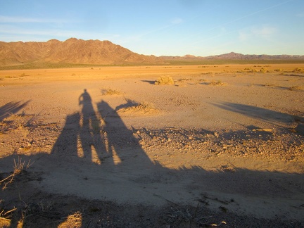 With sunset approaching in half an hour or so, I'm starting to cast nice long shadows on the edge of Broadwell Dry Lake
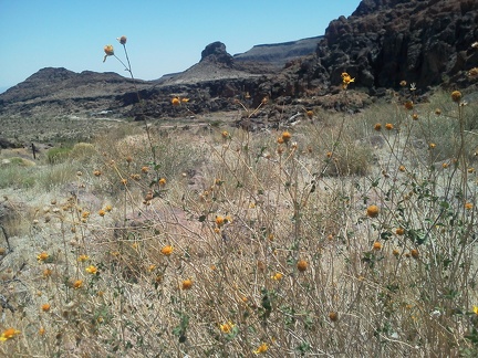 With so few flowers in bloom, I'm happy to find a few Encelias (brittlebrush) flowering on the Barber Mountain Loop Trail
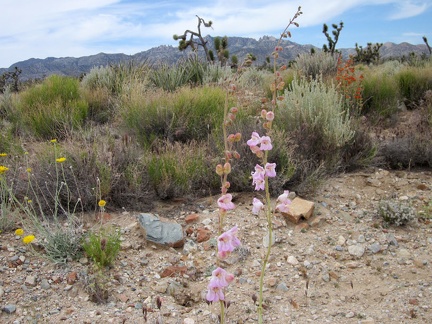 With relatively few wildflowers along Ivanpah Road, this little garden against a New York Mountains backdrop gets my attention
 With Pachalka Spring's greenery behind me, I walk back to my bike and look for a spot to set up my tent
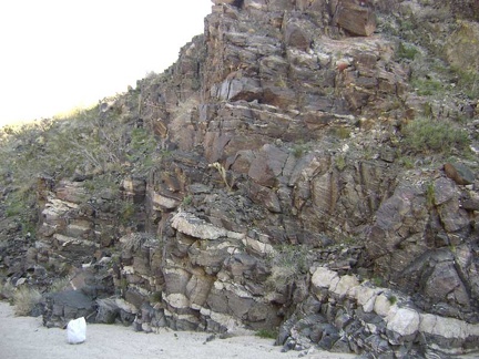 With no set destination, I start walking up the wash past Indian Springs and notice some intriguing rock layers
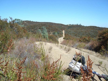 With much downhill to come, I look back up at the distance I've already dropped down.
 With Kelso well-behind me now at the bottom of the hill, the heat of the day is catching up with me a bit
 With assistance from my Delorme GPS, I locate the old road that I'm hoping to follow; it's nearly invisible!
 With an hour of daylight left, I walk up to the end of Indian Springs Road to explore a little
 With a bit of sadness, I pack up and leave my Cima Dome campsite to mark the last day of this Mojave National Preserve trip
 Winters Peak, Death Valley National Park
 Windmill near the junction of upper Wild Horse Canyon Road and Black Canyon Road, Mojave National Preserve
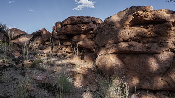 Windbreak
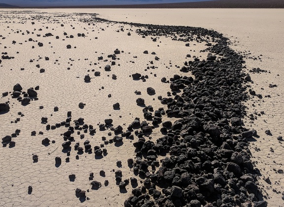 Wind blows rocks to the other side of the dry lake
 Willows and mini dry waterfalls in the canyon
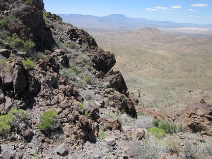 Willow Wash, where I'll be hiking in a while, is in front of that hill in the middle ground
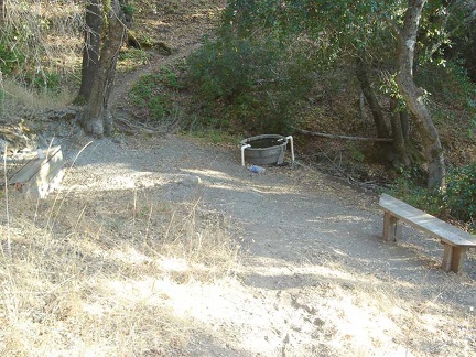 Willow Spring itself
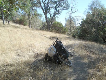 Willow Ridge Trail rises out of the poison oak forest to a more meadowy area.
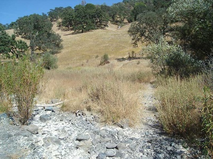 Willow Ridge Trail rises out of Los Cruzeros
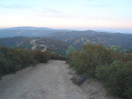 Willow Ridge Road, lots of steep ups and downs as it rides on the ridge top. I have to drag the bike up some of the steep hills
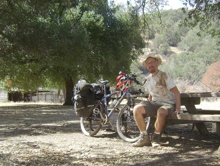 Will I get clean at Pacheco Camp?
 Wildflowers, Willson Peak. Henry Coe State Park, April 15, 2017
 Wildflowers, Willson Peak. Henry Coe State Park, April 15, 2017
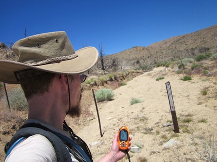 Wilderness markers delineate the end of the old road for cars and bicycles
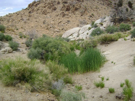 Wildcat Spring, Mojave National Preserve
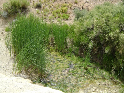 Wildcat Spring is not completely dry, yet, upon further inspection
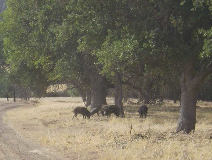 Wild pigs on Paradise Flat along Red Creek Road.
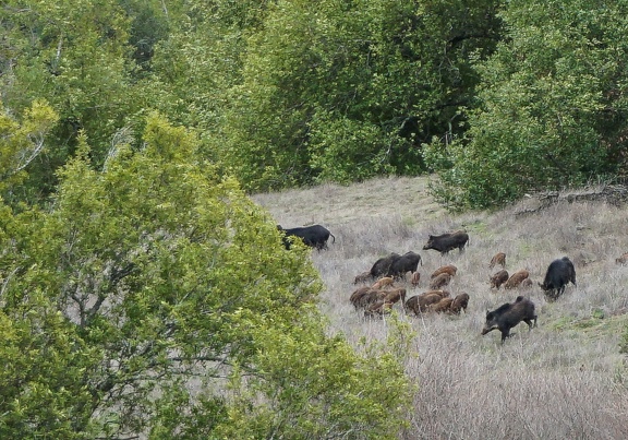 Wild pigs
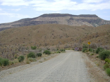 Wild Horse Mesa, the target of today's hike, is the flat-topped formation ahead
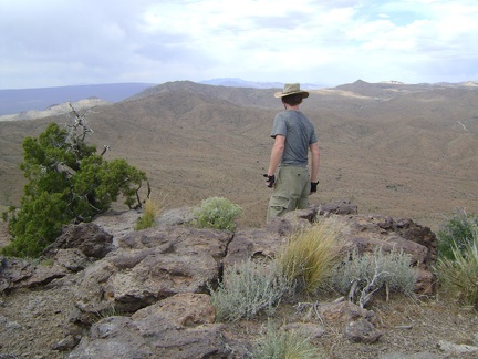 Wild Horse Mesa, Mojave National Preserve; I enjoy the views from the summit at about 5600 feet
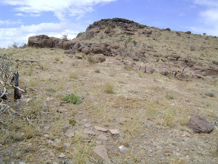 Wild Horse Mesa summit lies just ahead
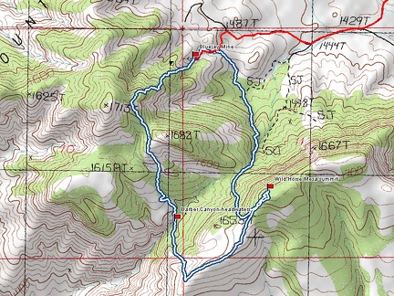 Wild Horse Mesa hike route, Mojave National Preserve (Day 5)
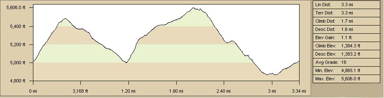 Wild Horse Mesa hike profile, Mojave National Preserve (Day 5)
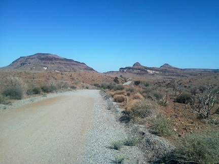 Wild Horse Canyon Road rolls along as it approaches the Barber Peaks area
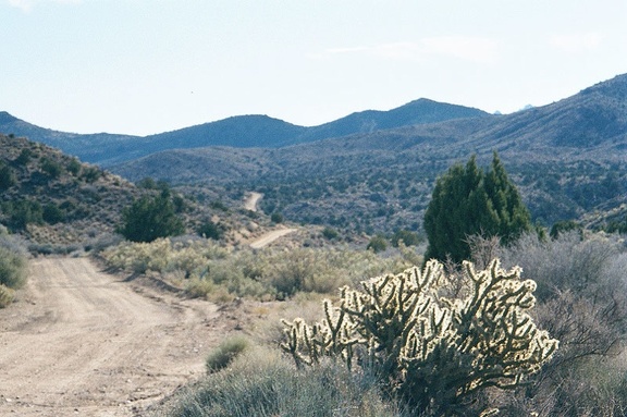 Wild Horse Canyon Road meanders over the hills
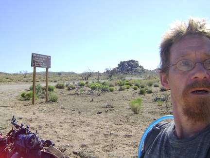 Wild Horse Canyon Road junction, and Mid Hills campground is just two miles away
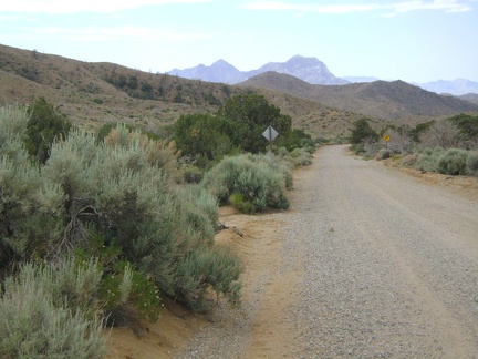 Wild Horse Canyon Road is one of my favourite mountain-bike rides in Mojave National Preserve
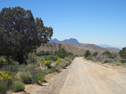 Wild Horse Canyon Road is always so scenic as it rolls gently downward toward the Providence Mountains
 Wild Horse Canyon Road is all scenic, but I especially enjoy riding down this part with the Providence Mountains in the distance
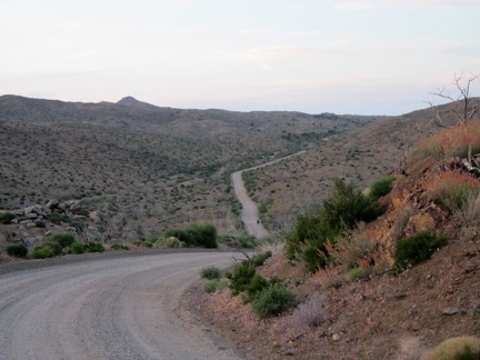 Wild Horse Canyon Road dips down into the upper part of Macedonia Canyon as I ride back to Mid Hills campground
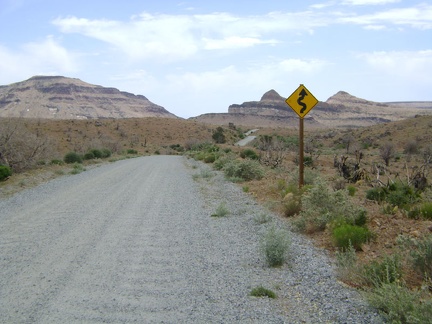 Wild Horse Canyon Road continues its twisty-windy descent, which is getting flatter
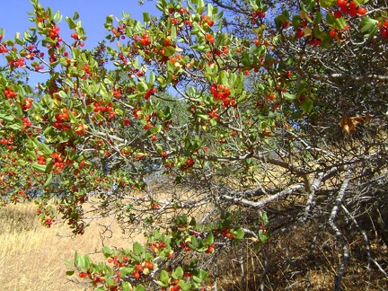 Wild berries (chokecherries?) on the way down Walsh Trail
 Whoever came up with the idea for an outdoor shower at Pacheco Camp deserves a round of applause
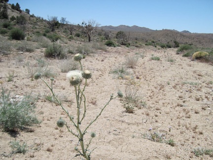 White thistle in Cedar Wash on the way to Pinto Mountain, Mojave National Preserve
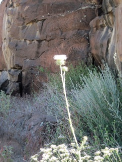 White thistle growing in Woods Wash
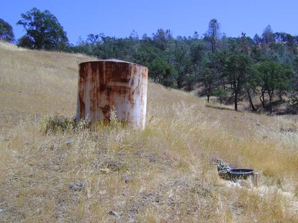 White Tank Spring, Henry Coe State Park
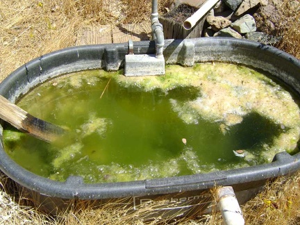 White Tank Spring, Henry Coe State Park
 White primroses and orange desert-mallow flowers along Keystone Canyon Road
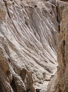 White drapery
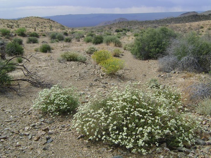 White buckwheat flowers in Macedonia Canyon valley
 While walking the mile up Red Creek toward Paradise Lake, it occurs to me that something here has changed since last year...
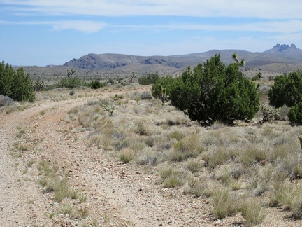 While walking down Mail Spring Road, I recall good memories of last year's hikes in the distant hills
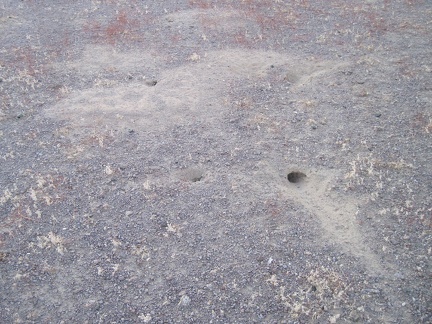 While walking around, I notice a lot of these small animal burrows around my campsite
 While walking across the plain between Lecyr Spring and Keystone Canyon, I take a break under one of the big juniper trees
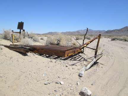 While taking my shade break under the train tracks, I notice a washed-out cattleguard on the old road to the Lucy Gray Mine area
 While sitting here, I ponder the view to my right further up Devil's Playground Wash in Bighorn Basin
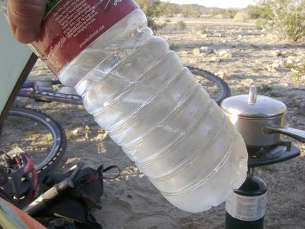 While sipping my coffee, I notice that the water bottles which I left outside last night have quite a bit of ice in them
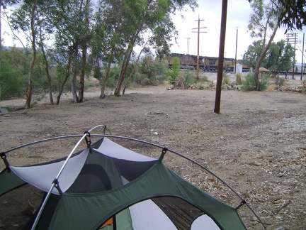 While setting up my tent under the eucalyptus trees just south of the Nipton store, a train rushes past
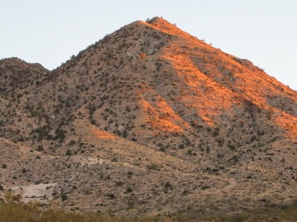 While setting up camp, a pickup truck drives by, not seeing me, and drives up the hill a bit (see the headlights at bottom-left)
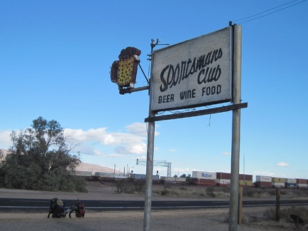 While riding through Daggett, I stop to check out the old sign for the now-defunct Sportsmans Club
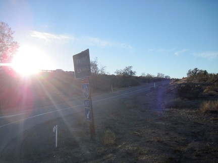 While riding the I-40 freeway past the military base on the way back to Barstow, my GPS mysteriously crashes
 While pausing to plot a good route down the short steep hill, I notice a small cave in the hillside
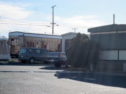 While passing a trailer park along Route 66 near Daggett, my eyes notice an unusual mobile home
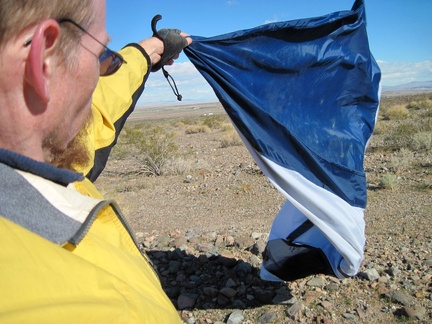 While packing up, the tent wants to be a kite; I discover that one of my tent poles has been bent by the wind
 While lingering in the shade of the Kelso Depot waiting platform, I chat with a couple on their first visit to the Preserve
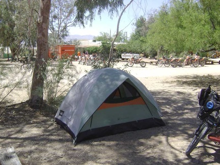 While in my tent choosing my afternoon ride, the dirt-bike tour group members arrive at Nipton in a cloud of noise
 While heating water for coffee, I walk around to familiarize myself with my new surroundings
 While getting ready for today's hike down to Piute Spring, I have my first and only sighting of humans for the day
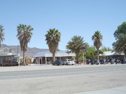 While filling my bottles, I glance across the road at the Crowbar Café
 While eating breakfast in the tent, I study my maps in preparation for today's hike over to Live Oak Spring
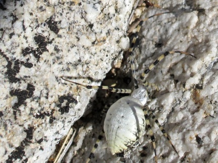 While climbing up the rocky hillside, I plow through a spider web by accident and have to brush this unusual spider off me
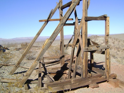 While at the Rex Mine headframe, I get out my maps and decide where to go next
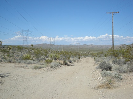 While at the Kelbaker Road summit, I take a look at the power-line road which I could have taken to get here from Cima Road
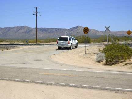 While at Cedar Canyon Road junction, I notice an indecisive SUV, so I go speak to its driver; maybe he needs directions
 Where am I?
 When sunset approaches, I walk up a hill near my site at Mid Hills campground to take in the views
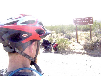 When people come down Cedar Canyon Road, here's the sign that they see when they reach the end at Kelso-Cima Road
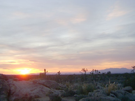 When I think of the Cima Dome area, I think of gorgeous sunsets, and tonight is no exception
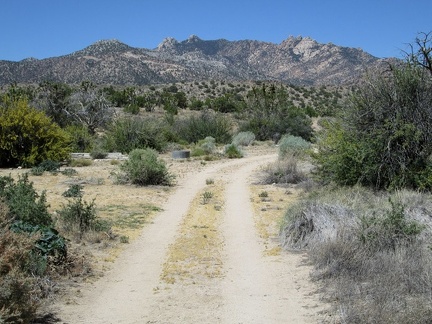 When I reach the road to Lecyr Spring, I turn and hike up that way, with the New York Mountains peaks in the background
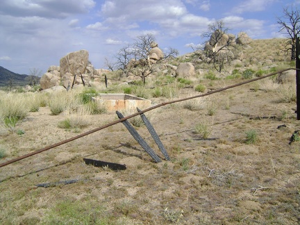 When I reach the old corral at Howe Spring, I realize that it's completely burned
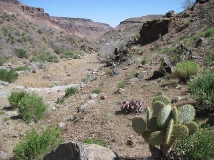 When I reach the junction of the north and east forks of Beecher Canyon, I turn left and start walking up the east fork
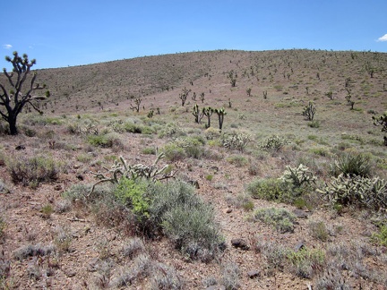 When I reach the base of the higher hill ahead overlooking Ivanpah Valley, it doesn't look like it will be as steep as expected
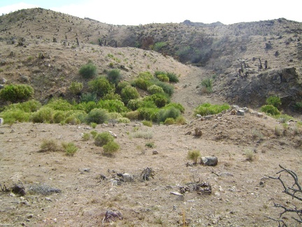 When I reach Macedonia Spring, I dont find any water at all
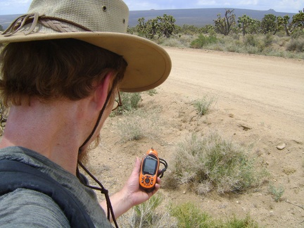 When I reach Cedar Canyon Road, I stop to check my GPS for directions
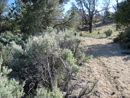 When I reach a patch of mature, unburned sagebrush, I turn east (left) and begin hiking cross-country to Mid Hills campground
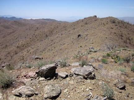 When I hiked here last year, I dropped down into Beecher Canyon, below at left; but not this time
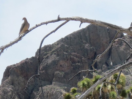 When I arrived here at Indian Spring, a flurry of doves took flight and left; this one watches me from a nearby branch
 When Crucero Road reaches Broadwell Dry Lake, it forks to make two separate northbound roads
 Wheeeeee, Morning Star Mine Road descends into the Ivanpah Valley and the haze of the day
 Wheee, here we go riding straight ahead the 4.5-mile length of Broadwell Dry Lake!
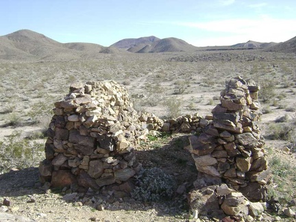 Whatever this was, there's practically no mortar left at all between the stones
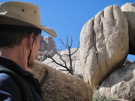 What's that red speck poking out of that boulder?
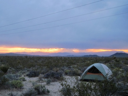 What's more scenic than a tent in a Mojave Desert sunset?
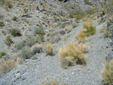 What's left of the old road is slowly starting to slide down the hill and return to nature
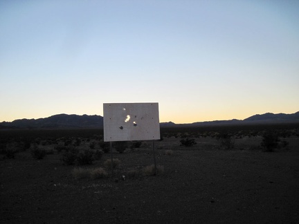 What could this old sign be out here in the middle of nowhere by Broadwell Dry Lake?
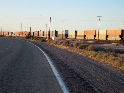 Westward on Route 66 I go, crossing under the I-40 freeway and leaving Newberry Springs
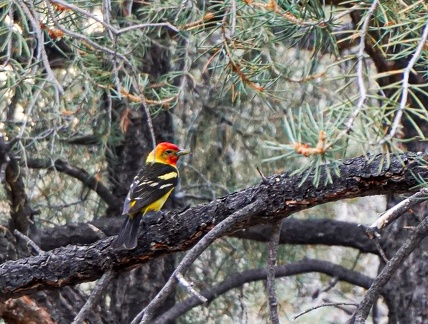 Western tanager
 West New York Mountains Road, heading toward the east end of Pinto Mountain
 West Edgar Canyon #3 makes a tight left turn just ahead, and continues to rise into the Providence Mountains
 West Edgar Canyon #3 is, as you might expect, full of rocks, big and small
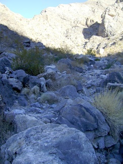 West Edgar Canyon #3 gets narrower and passes through some deep shade
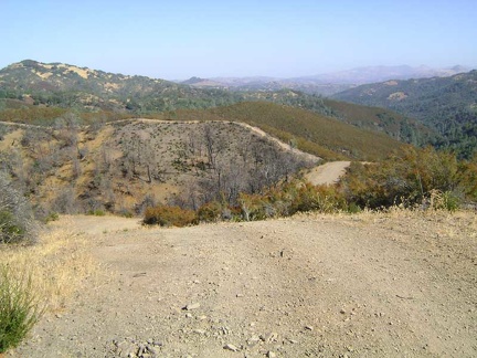 Well... part of the Center Flats Road ahead is somewhat flat
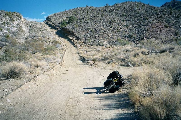 Well, well, there turns out to be a series of big rollers here on the way down. I've just come down the first.
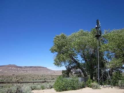 Well, this is it: Government Holes, Mojave National Preserve
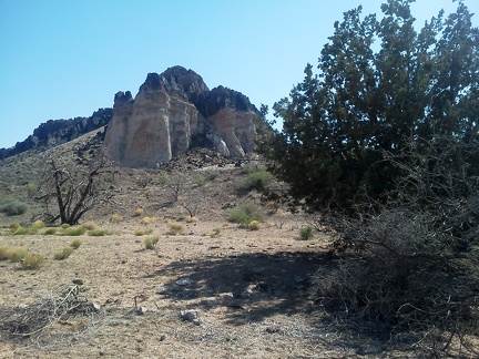 Well, this is as close as I've ever been to Lobo Point, Mojave National Preserve, that outcrop in front of me
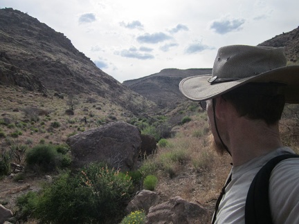 Well, this is about as far up Saddle Horse Canyon as I'll go; I want to be riding up Wild Horse Canyon Road around sunset
 Well, there's Primm, Nevada just ahead; I guess this year's trip is officially over
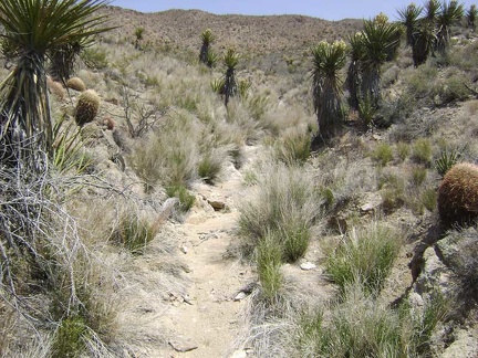 Well, there are some water-indicating grasses growing here...
 Well, the old sign isn't legible any more
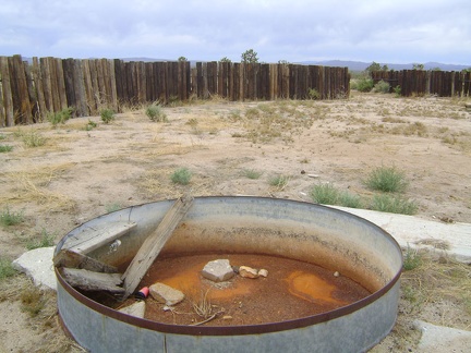 Well, the cistern in this old corral along Cima Road is dry, so I presume the big water tank nearby is empty too
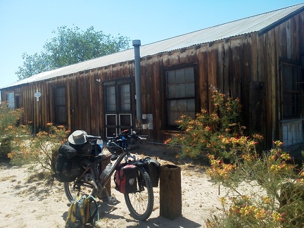 Well, the Cima store might be closed right now, but it's an interesting place to take a break nonetheless
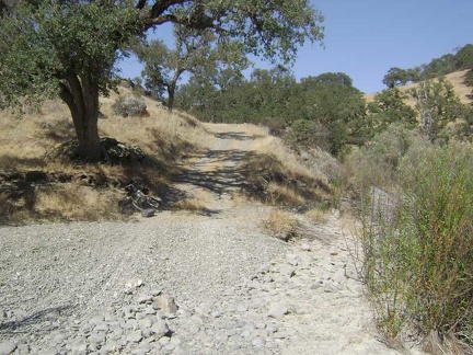 Well, that short downhill was fun! At the bottom of the hill, I reach Los Cruzeros and take a break.
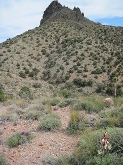 Well, since I'm at the base of one of the Castle Peaks outcrops, it's time to decide whether to continue upward or not
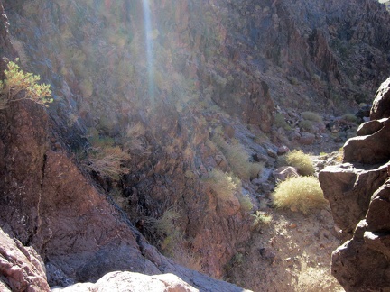 Well, my planned hike down this side canyon in the Sleeping Beauty mountains instantly ends when I reach a 10-foot drop-off
 Well, it's time to start heading back down Idora Mine Canyon and back to camp
 Well, it looks like almost a mile of this sand lies ahead of me, and it would take some time to push the bike through it all
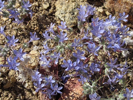 Well, I've just passed through some yellow; now it's time for some purple
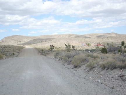 Well, I've been riding Ivanpah Road for a mile now and am passing the settlement of Barnwell again; so far, so good!
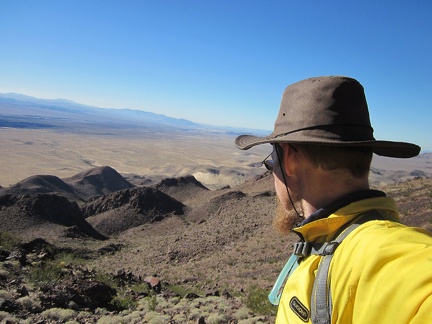 Well, I probably could climb down that way, in front of me, but I decide to check my maps first
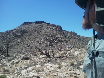 Well, I guess I'll keep looking at Table Mountain and wondering what's up there, since I didn't make it to the top
 Well, I guess I'll drop down into the valley between these Castle Peaks hills and start heading back to my campsite
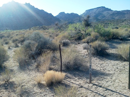 Well, I exit the Wilderness boundary and take a look back at Twin Buttes and Table Mountain before hiking back up Woods Wash Rd
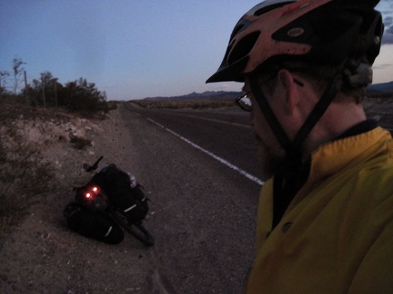 Well, I can't deny any longer that it's about to get dark here on Route 66
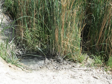 Well, here's how much water remains at Mail Spring in late spring 2012
 Well, here's a rock summit at Eagle Rocks that I don't think I can climb
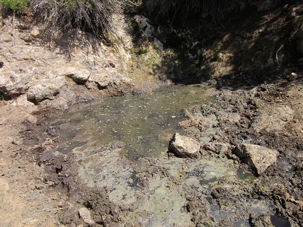 Well, here it is, Summit Spring, Mojave National Preserve, a disgusting concentrate of cow shit and water
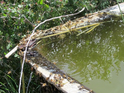 Well, here I am at Indian Spring, New York Mountains, Mojave National Preserve
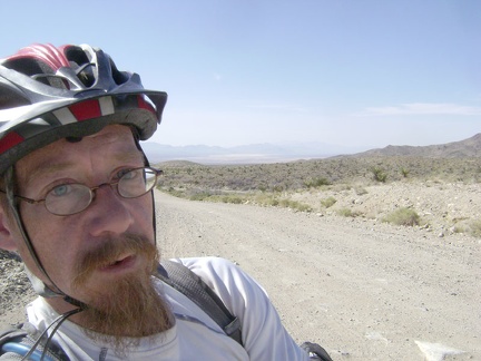 Well, after my one-hour delay, I've remounted my saddlebags and have decided to continue on 7 miles more to Keystone Canyon
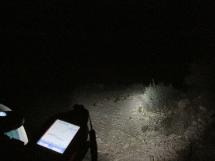 Well after dark, I find a nice campsite along a road near Mail Spring, Mojave National Preserve, and set up for a couple of days
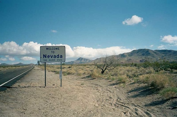 Welcome to Nevada!
 Welcome to Cedar Canyon Road
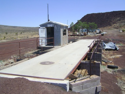 Weigh station at the abandoned Aiken Mine, Mojave National Preserve
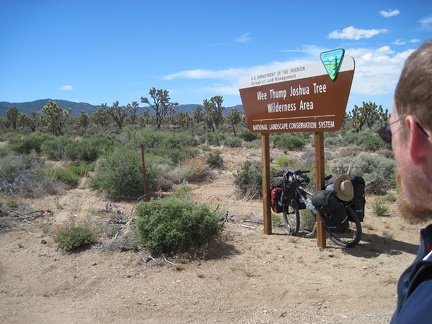 Wee Thump Joshua Tree Wilderness: I take a short energy-bar and water break at the turnout along Nevada 164
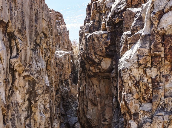 Webs
Webs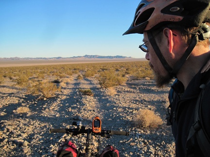 We're ready to ride the half mile down from the Old Dominion Mine area to Crucero Road
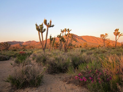 We're almost back at the minivan when we pass one last Desert four o'clock blooming in the sunset
 We're all taking photos of each other; Sarah sits on one of the Teutonia Peak ridges
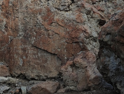 We were here
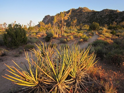 We turn around for a moment to look back toward Teutonia Peak
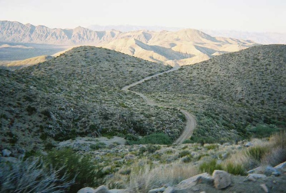 We start the climb up Goldbelt Grade to get over Hunter Mountain by dark
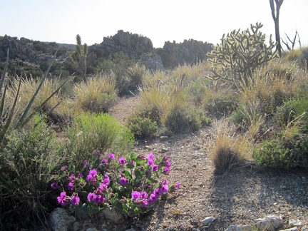 We start seeing the occasional Desert four o'clock bush with its intense magenta flowers
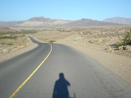 We pass through the village of Tecopa before heading on to Tecopa Hot Springs
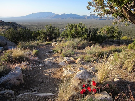 We pass another blooming Claret-cup cactus along Teutonia Peak Trail as we descend
 We find ourselves at the top of the Goldbelt Grade at a time of day when photographers come out
 We drive in Sarah's minivan over to the Teutonia Peak trailhead from Mid Hills campground for our end-of-day hike
 We drive 10 miles across Hidden Valley toward Goldbelt Spring
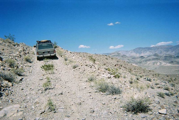 We drive 1/2 mile up a short steep road that we pass a couple of miles after Teakettle Junction
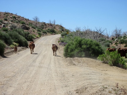 We come around a bend by Macedonia Canyon Road and start heading uphill; the cows aren't running quite so quickly anymore
 Way off in the distance, I can see flat-topped Table Mountain, which I'll pass later on the way to Mid Hills campground
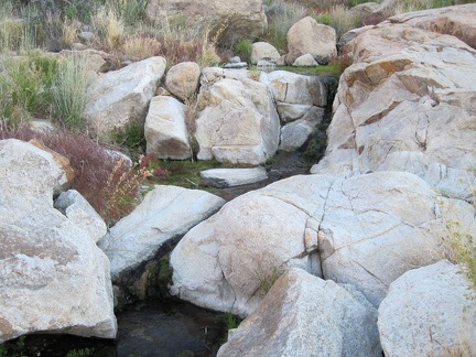 Water trickling down the rocks creates a small brook
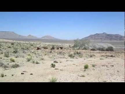 Water tank and windmill on Gold Valley Road, Mojave National Preserve
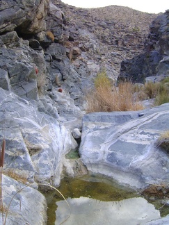 Water remains in this tinaja in Bull Canyon from the last rains
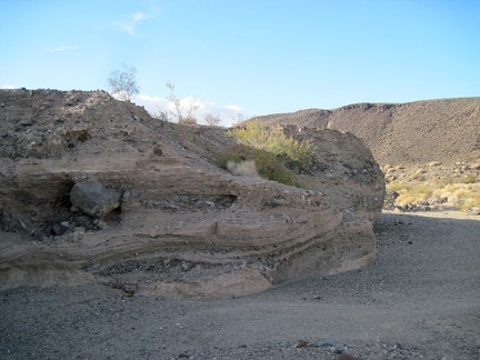 Water has exposed a swirling pattern in the earth and rock layers here
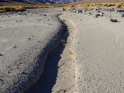 Water flows down from the mountains
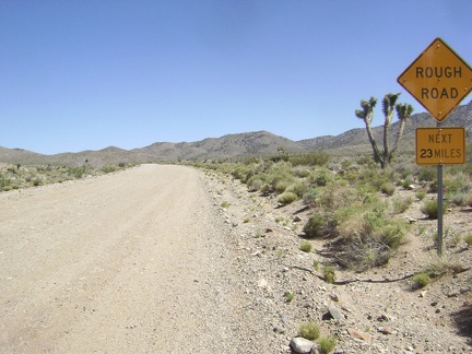 Warning to me: "Rough Road Next 23 Miles"
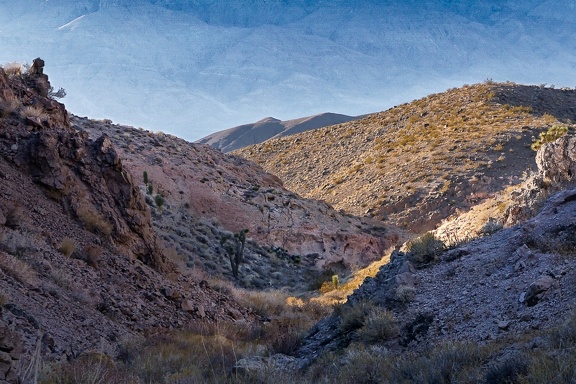 Warm sunshine ahead
 Walsh Trail descends quickly into the Pacheco Creek canyon
 Walsh Trail crosses the dry Pacheco Creek stream bed here
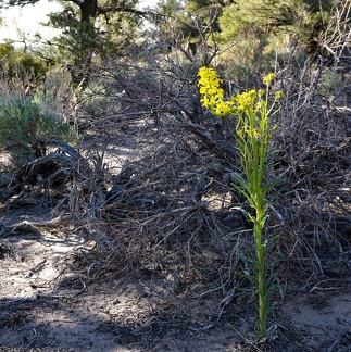 Wallflower, Humboldt-Toiyabe National Forest