Home 7119

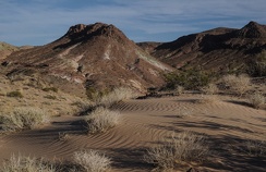 At the edge of a Mojave Desert sand drift
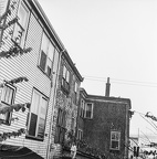 Rear view, 2521 and 2525 Barrington St, Halifax, 1982
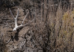 Antler and sagebrush, Death Valley National Park.
 Rear view, 2521 and 2525 Barrington St, Halifax, 1982
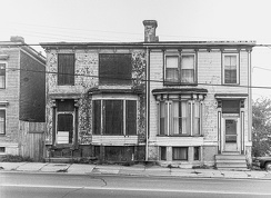 2521 and 2525 Barrington St, Halifax, 1982
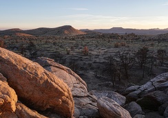 Sundown, Mojave National Preserve, York Fire zone.
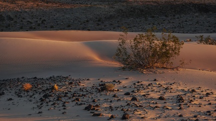 Creosote bush and dune.
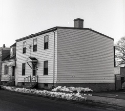 2577 Maynard Street (formerly 229 Maynard), Halifax, 1983
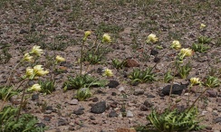 Desert dandelions blow in the wind
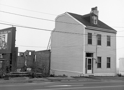 2195 Barrington Street, Halifax, Nova Scotia, 1982
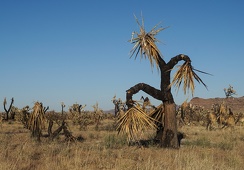 Scarecrow Joshua tree, Mojave National Preserve, York Fire zone.
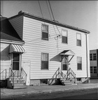 2577 Maynard Street (formerly 229 Maynard), Halifax, 1983
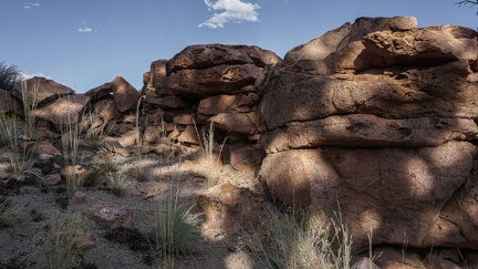 Windbreak
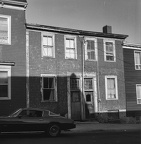 5531-5533 Buddy Daye St. (formerly 113-115 Gerrish St), Halifax, 1982
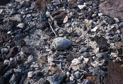 Killdeer egg laid on the ground in a meager "nest"
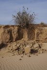 Creosote bush and roots, Mojave Desert.
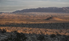 Day's end, Kelso Dunes, Mojave National Preserve.
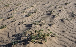 Low-lying lupines influence the pattern of ripples in the desert sand
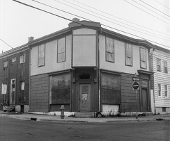 2390-92 Creighton Street, Halifax, Nova Scotia, Fall 1982
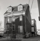 2013 Creighton Street (formerly 3 Creighton St), Halifax, 1982
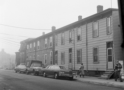 Foggy day, 2315-29 Creighton Street, Halifax, Nova Scotia, Fall 1982
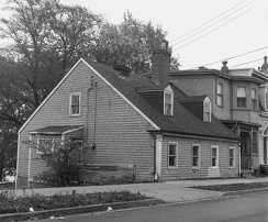 The Akins Cottage, 2151 Brunswick Street (formerly 285 Brunswick), Halifax, 1982
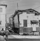 Demolition, Buddy Daye Street, Halifax
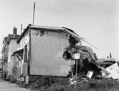 Demolition, Buddy Daye Street, Halifax, Nova Scotia
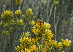 Rabbitbrush season
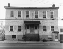 2565 Barrington Street, Halifax
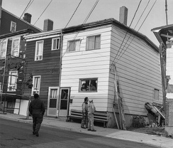 5527 Buddy Daye St, Halifax (formerly 5527 Gerrish Street)
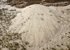 Sand outpour, Mojave Trails National Monument area
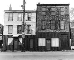 Camille's Fish n Chips, Barrington Street, Halifax, 1984
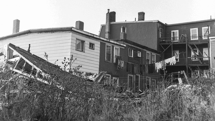 Laundry day, 5527-5533 Buddy Daye Street (formerly Gerrish Street), Halifax, Nova Scotia
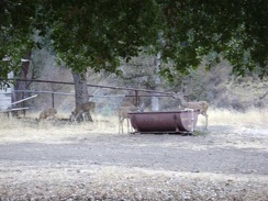 A family of deer visit Pacheco Camp to get a drink from the "horse spring."
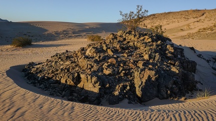 Rock island in the sand
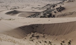 Sand platform
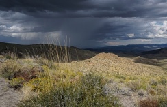 Storm clouds approaching
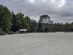 Empty parking lot, weather too hot!
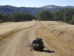 Coit Road descends toward the Mahoney Meadows area.
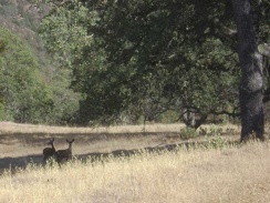 Deer near Pacheco Ridge Road.
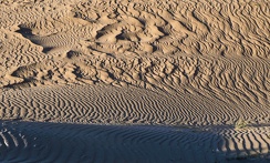 Sand patterns
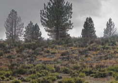 Rain, sagebrush and pines
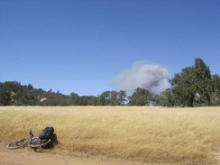 I reach a flat area on Manzanita Point Road and see smoke not far away; looks like a brush fire in Henry Coe State Park.
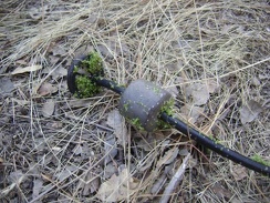 Gunk on my water filter intake tube from Clark Spring.
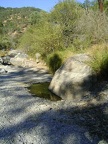 Before setting up camp, I check out the water situation at China Hole
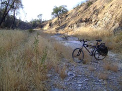 It's such a treat to have a bit of shade at the end of a really hot day
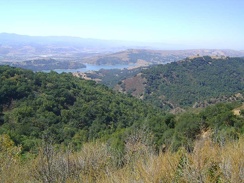 This is one of the best views from upper Dunne Avenue down to Anderson Reservoir and the town of Morgan Hill below that
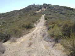 Heading up one of the rollers on Pacheco Ridge Road.
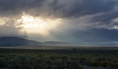 Sun pokes through the clouds near Mono Lake
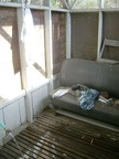 The seat in the shower.
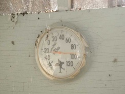 92 degrees in the shade, according to the thermometer on the side of the shower house.
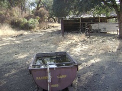 Pacheco Horse Camp.
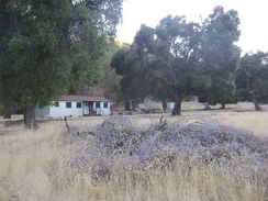 The tent hides under one of the huge oak trees at Pacheco Camp.
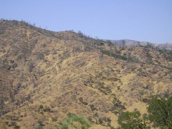 From here, I can clearly see the trail up the Robison Mountain ridge line whose beginning I didn't see down below
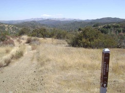 The top of Canteen Trail ends at Pacheco Ridge Road.
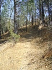 Just before entering this wooded area, I make a note of where it seems the Robison Mountain Trail should be
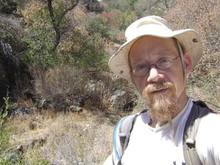 Looking for Rose Spring, it should be here somewhere.
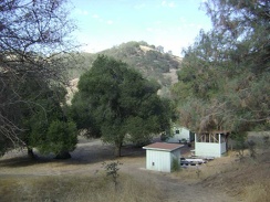 Pacheco Camp buildings as seen from just above on Coit Road.
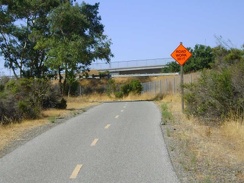 15 miles on Coyote Creek Trail, then another seven miles on nasty San José streets, and I'm home!
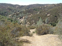 Looking back down the Canteen Trail to take in the view.
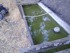 This is Live Oak Spring, Henry Coe State Park
 Enjoying the views up on Pacheco Ridge Road in the hot sun. My cell phone works here!
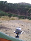 I'm boiling water for my backpacking meal tonight at dusk; usually I wait until after dark for some unknown reason
 Back at the hot tent, the sun begins to set on my little plateau above Jackrabbit Lake.
 Time to throw out the iodine-tainted Jackrabbit Lake water that I've been drinking all day.
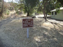 The sign on Coit Road near the Pacheco Camp cabin says that it's 16 miles to Park Headquarters.
 I like walking through some easy-to-miss chia sages in Upper Black Diamond Spring Valley
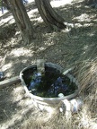 I go for a short walk up the trail from the campsite to Sierra View Spring to filter enough water to get me to Mississippi Lake.
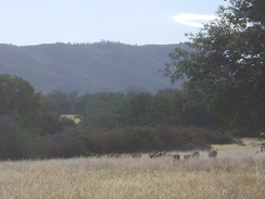 The wild pigs run away once they hear me coming up the road.
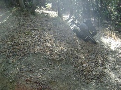 The lower part of the China Hole Trail includes a number of switchbacks.
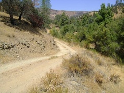 Orestimba Creek Road rises a bit above the canyon, which becomes rather narrow after a while
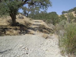 Well, that short downhill was fun! At the bottom of the hill, I reach Los Cruzeros and take a break.
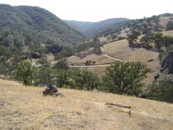 I begin the dreaded climb up the Willow Ridge Trail that will take me to the top of Willow Ridge above Mississippi Lake.
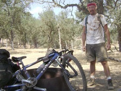 Taking a breather at the Orestimba Corral to assess our condition after crashing on the way down the hill from Will's Pond.
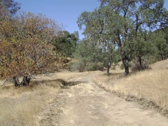 Further up Pacheco Creek Trail, a grader parked alongside the trail bakes in the hot sun, with nobody inside.
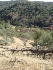 Descending Coit Road back into the canyon to my campsite at Pacheco Camp.
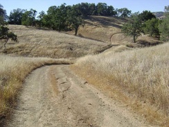 More picturesque rolling down Mahoney Meadows Road.
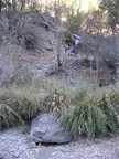 The 10-ton bike waits a few feet above the rocky bottom of China Hole Trail while I look for a campsite.
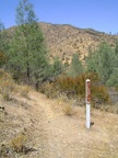 I pass a marker indicating that the trail continues straightahead (which seems obvious to me)
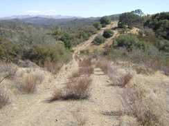 One of a series of ups and down on Pacheco Ridge Road. Awesome views up here.
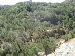 I've just turned around and am looking back down into the canyon.
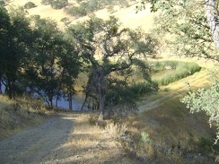 Arriving back at Paradise Lake, a pretty sight, home again for the night
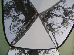 I peel the outer layer off the tent to expose as much screen as possible and take a break inside away from the flies
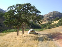 The tent is intact; I always wonder how many curious animals visit it during my absence
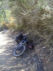 It's uphill for the next mile to the top of Pacheco Ridge, 550 feet above
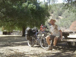 Will I get clean at Pacheco Camp?
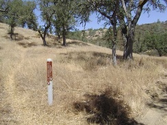 Half a mile up Pacheco Creek Trail, the singletrack Rose Dam Trail veers off and rises eventually to Hoover Lake.
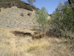 The lower part of Canteen Trail, near the spring.
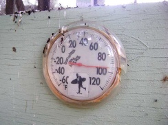 95 degrees in the shade at Pacheco Camp at 19h.
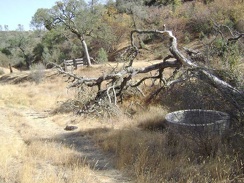 Old concrete cistern along Bear Spring Road.
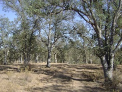 More oaks on lower Long Ridge Road.
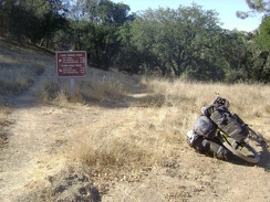 The beautiful ride down Mahoney Meadows comes to an end when I reach the intersection of the China Hole Trail.
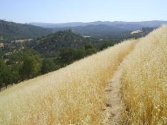 I experience more great views on the return trip down Rooster Comb Trail to Orestimba Creek
 China Hole at sunset, looking northeast toward The Narrows.
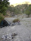 Time to call it a day. The tent is set up at China Hole (looking northeast up the canyon).
 Sheesh, I was getting excited about standing under a steady stream of water, but the water is so cold!
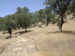 An old outbuilding along Pacheco Creek Trail not too far from Pacheco Camp.
 Canteen Trail keeps heading upward.
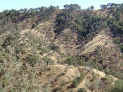 I ride up the road a little and stop again to look at the sculptural shadows of the trees on the next ridge (Wasno Ridge).
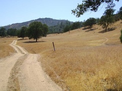 I start back up the Rooster Comb Trail to the right to avoid the private property on Orestimba Creek Road ahead
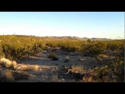 Contemplating my route here on The Lost Road...
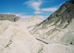 Climbing these weird hills of earth is fun
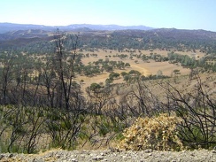 I get my first view toward the north, above Upper San Antonio Valley
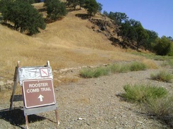 After 0.6 mile, I reach the Rooster Comb Trail and I've already drank 1.5 litres of water
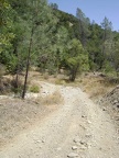 I just descended 1000 feet in 1.7 miles down the steep Poverty Flat Road to the bottom of the canyon.
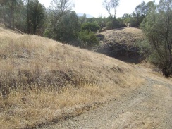 Rolling terrain on Long Ridge Road between Orestimba Creek and Jackrabbit Lake.
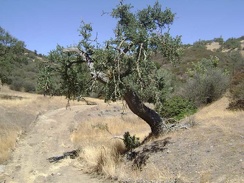 Gnarled oak on Pacheco Creek Trail at a (dry) creek crossing.
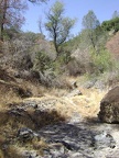 The dry creek bed near Rose Spring.
 A shady area on the upper part of the China Hole Trail.
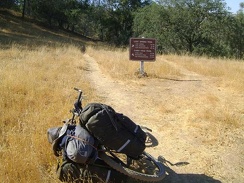 I leave Mahoney Meadows Road and take the left trail fork toward China Hole
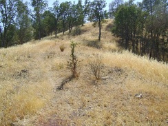 A quarter mile climb up a little hill
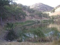 Paradise Lake is small compared to Jackrabbit Lake.
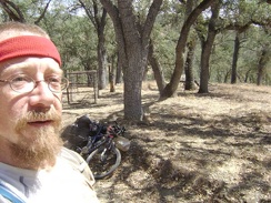 Heading up the County Line Road grade toward Mississippi Ridge, stopping by a trap for wild pigs.
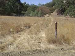 The trail to Rose Spring obviously doesn't get a whole lot of use.
 Another switchback near the bottom of China Hole Trail
 The gravel of dry-in-summer Orestimba Creek radiates heat on a 100-degree day like concrete does in a big city
 The 10-ton bike follows the tire tracks through the creosote bush scrub
 I've decided to call this The Lost Road, since I'm not exactly sure where it's leading me
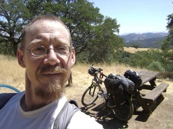 All packed up and ready to leave Sierra View; on toward Mississippi Lake!
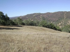 I pause along Mahoney Meadows Road to take in the view across the canyon to Willow Ridge on the other side.
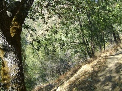 Getting closer to the bottom of the canyon, which is almost visible through the trees
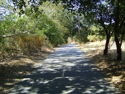 Coyote Creek Trail is my chosen route back into San José today instead of the busy, but more direct, Monterey Road
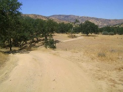 Hiking a segment of Orestimba Creek Road that I've never been on before, everything feels familiar again
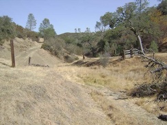 Old fence along Bear Spring Road.
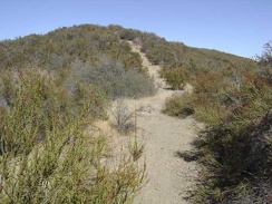 Higher up the Canteen Trail toward the top.
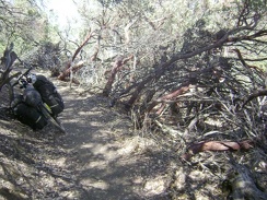 Beyond the carpet of chamise, manzanitas start appearing along China Hole Trail.
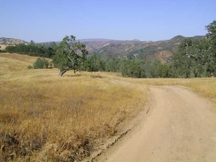 Expansive views across to the Willow Ridge area on the right and far beyond as Mahoney Meadows Road descends
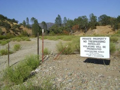 Back on Orestimba Creek Road, I take a moment to explore the fenced entrance to the privately owned ranch
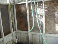 The shower hose can be suspended from a pully and then raised or lowered.
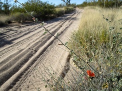 I pass a few early Desert mallow flowers along the Mojave Road
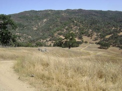 I finally meet the junction of Poverty Flat Road and Mahoney Meadows Road, and begin a short, fun, and steep downhill.
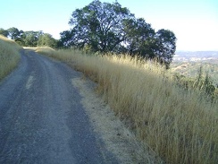 Beyond Willson Camp, some of the rise on Wagon Road is very gentle and easy to ride as it rolls along the ridges
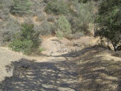 Bear Spring Road drops back down to the level of the dry creek after a short rise.
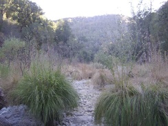 Big grasses in the dry creek bed at China Hole, looking southwest down the canyon.
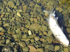 A dead fish rests in the large pool at China Hole
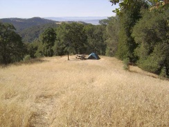 The Sierra View campsite in the morning.
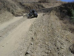 I'm just about to reach the high point of this part of Poverty Flat Road, near the junction of the Jackass Trail.
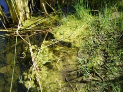 My first stop is the dam at Paradise Lake to pump some water
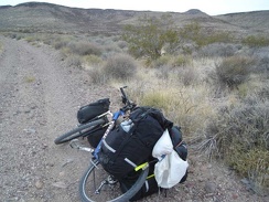 Gold Valley Road keeps rising
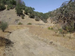 Almost two miles up Pacheco Creek Trail, I see the sign ahead for the trail to Rose Spring.
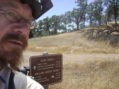 Coit Road crosses Willow Ridge Road on top of the next ridge at about 2250 feet.
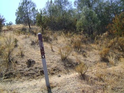 I reach the Rooster Comb Summit Trail and decide to walk up it a quarter mile
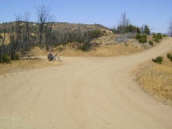 I've reached Mississippi Ridge and I'll turn left here on Coit Road
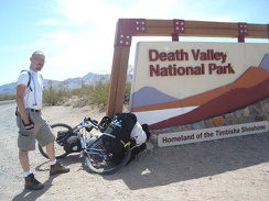 Death Valley National Park welcomes me
 My Greenwater Valley Road veers off to the right
 Back at the tent, the first thing to do is wipe myself down and get rid of some of the salt and sunscreen residue on my skin
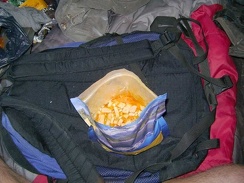 Supper tonight is Mountain House Chicken and Rice, a flavourful and oily 800-calorie "meal for two"
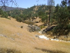 Rooster Comb Trail meanders through another open area and crosses a small dry creek
 For safety reasons, I give up on the idea of hiking up Robison Mountain and continue backtracking along Orestimba Creek Road
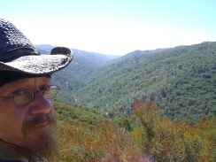 Rising higher on China Hole Trail, I still have some grandiose views down into the Coyote Creek canyon below
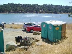 On the way down, I stop at the portable toilets at Anderson Reservoir, which is a County park
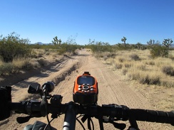 I pass another intersection and I'm on the Mojave Road again (there's a bit of firm ground for me to ride on here)
 After backtracking 1/3 mile, I locate the Long Ridge Road that I missed, my route to Jackrabbit Lake
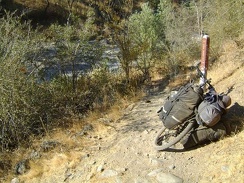 And here's China Hole, the gravel area to the left, which is actually a fork of Coyote Creek covered by water in the wet season
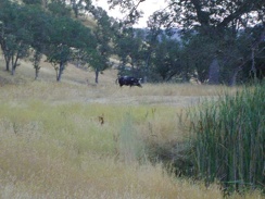 Upon hearing some noises outside, I discover a lone wild pig moseying around the Paradise Lake dam
 After 2.4 miles on Center Flats Road, and only 300 feet overall elevation drop, I begin the steep hike down Walsh Trail
 The 3/4 mile drop down into the canyon to Kelly Lake, 450 feet below, was fun.
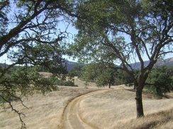 Mahoney Meadows Road continues its descent along the ridge through the meadow.
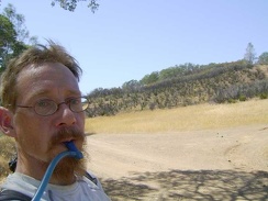 I suck back water at the joyous moment of attaining Pacheco Ridge
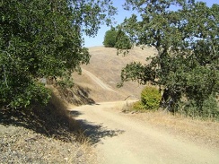 I see that Wagon Road has another steep hill ahead for me
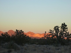 The orange light has just stopped lighting up the Joshua trees, but still casts a glow on the Castle Mountains over there
 A series of short hills surprise me along southbound Highway 127
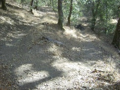 A better view of that switchback in the previous photo.
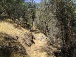 The narrow trail ducks into a woodsy area
 I stop for a Vietnamese-deer-jerky break in the Joshua tree forest along Hart Mine Rd
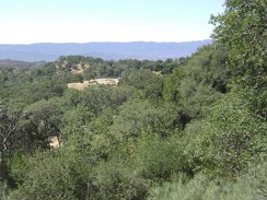 A view of the small car campground at Henry Coe State Park from the Sierra View campsite.
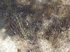 A yellow-flowered buckwheat-like plant.
 China Hole Trail winds across a meadow on its way up.
 A downed pine tree lays across a switchback on the Rooster Comb Trail
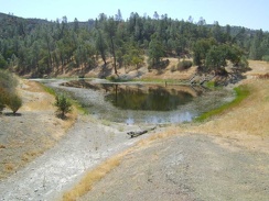 I walk around a bend and here it is: Kingbird Pond
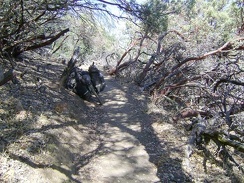 China Hole Trail passes briefly through a stand of manzanitas
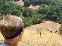 The views back down to Hunting Hollow below are already inspiring, and I've not risen much yet
 Another switchback on the lower part of China Hole Trail.
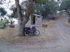 I pass a modern outhouse at the junction of Wagon Road and Wasno Road, near Wasno Pond
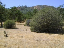 A number of ceanothus bushes dot the flat landscape just north of the private ranch
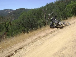 After the short flat stretch of dirt road at the bottom of the canyon that is Poverty Flat, it's time to climb out of the canyon
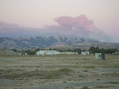 Cotton-candy smoke from the Henry Coe brush fire at sunset in central San José.
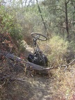 As Willow Ridge Trail rises, it passes through a brushy area with pretty red-leaved poison oak reaching out into the trail.
 Of course, what comes up must come down, and Red Creek Road drops back down to the dry stream bed
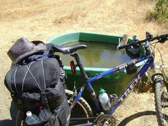 I pedal slowly down the road from Hunting Hollow and make my first stop at Fern Spring, after a quarter mile
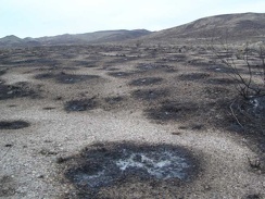 Close up of the burn from the Gold Valley Road fire is interesting
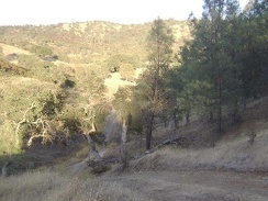 Heading down that crazy short, steep hill on the road to Jackrabbit Lake again.
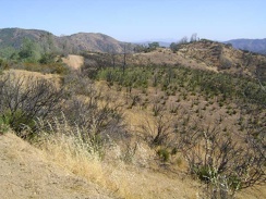 The gentle rollers along the top of the ridge here at about 2400 feet are fun to ride, even in the heat
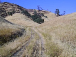 A half-mile rise out of the canyon, and then a ride across Paradise Flat back to the lake...
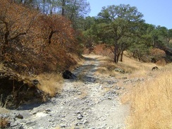 At the bottom of the hill, I cross dry Mississippi Creek again
 I park the bike and go looking for the spring: I know it's here somewhere!
 I begin the gentle westward climb up Highway 178 into Death Valley National Park
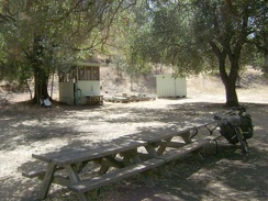 There's even a "shower building" at Pacheco Camp.
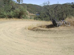 I stop on this switchback on the way up Coit Road from Kelly Lake to look back on my route.
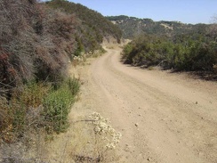 Higher up Coit Road heading toward the junction of Wasno Road.
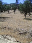 I begin backtracking and look for Murphy Trail along the way, an alternate route up to Robison Mountain
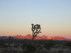 Two minutes later, the orange glow on the Castle Mountains is fading into pink as the belt of Venus forms
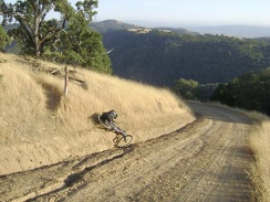 After climbing a short, steep segment of Hobbs Road, the 10-ton bike gets stuck on the drainage ditch that must be crossed.
 Pinus sabiniana (grey pines) along Coit Road heading toward Mahoney Ridge.
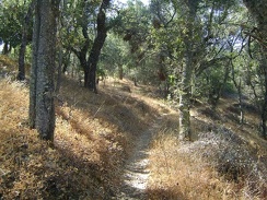 China Hole Trail drops down 700 feet into the canyon over two miles of nice single-track
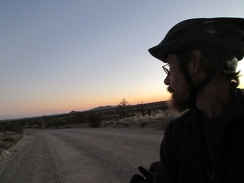 I take one last look toward Hackberry Mountain into the fading sunset, put on my sweater, and ride away
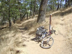 China Hole Trail ends when it reaches Manzanita Point Road.
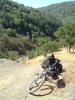 I come around a switchback and can see back down to China Hole below
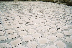 More of the old tiled floor at the former campground's entrance
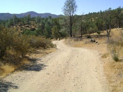 Orestimba Creek Road climbs out of the creek, then drops back down into the gravel, then back up on dry land
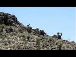 I reach the plateau below Tortoise Shell Mountain and spot a deer in the distance on the hillside
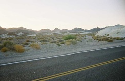 The badlands along Highway 127 near Shoshone and Tecopa always get my interest
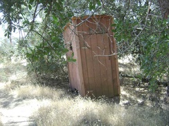 The old outhouse at Sierra View.