Home 7119

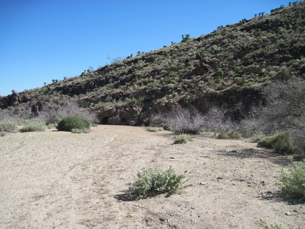 I reach the lava flows of the historic Woods Wash area
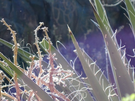 Yucca spines
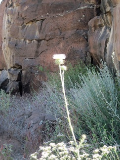 White thistle growing in Woods Wash
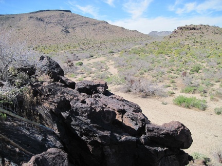 I climb a hill and get a glimpse of Woods Wash northward toward Twin Buttes
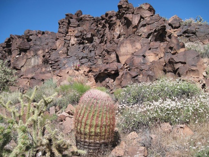 Barrel cactus, cholla cactus, and white buckwheat blossoms in Woods Wash
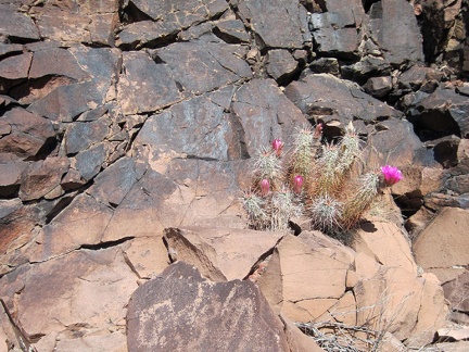 I walk across to the other side of Woods Wash and note some pink cactus blooms
 It's even hotter on this hill than it was on the hill behind me on the other side of Woods Wash
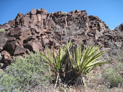 Yuccas in Woods Wash near the exposed rock
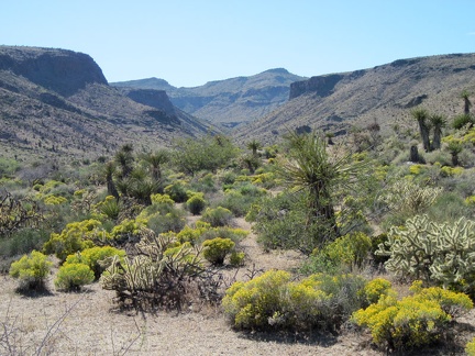 I climb down the hill for the hike back up Woods Wash (to my right), but the canyon ahead into the Woods Mtns gets my attention
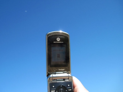 As I hike back up Woods Wash to my bicycle, I try my cell phone, and it works
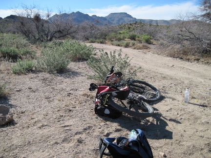 Back at Woods Wash Road, my backpack goes back into my saddlebags and I start the ride back to Mid Hills campground
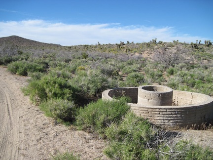 Abandoned cistern in Woods Wash
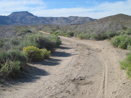 As the road rises slowly out of Woods Wash, it heads toward Table Mountain for a while, then turns left (west)
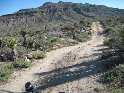 As the road rolls over the hills, I'm sometimes looking straight at the Woods Mountains
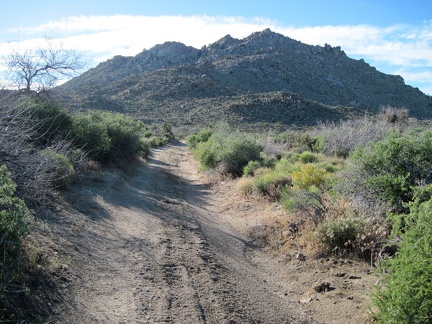 At other moments, the road heads straight toward the Twin Buttes
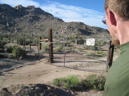 After passing the southern tip of Twin Buttes, I open and close the old gate again
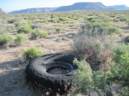 With Wild Horse Mesa in the backgound, I spot an oversized and eroded old tire along Woods Wash Road
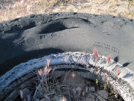 "For flat base truck rim only"
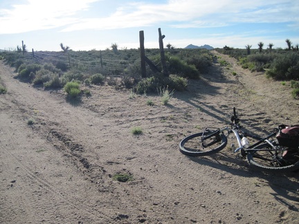 I decide to try a possible shortcut road that veers north (the right fork) off Woods Wash Road
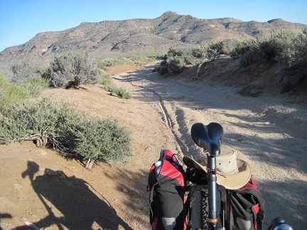 The shortcut road enters a sandy area, which I eventually forces me to dismount and walk the bike a bit
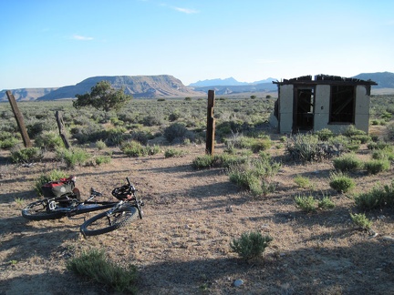 The road pops out of the sandy wash briefly, and I arrive at the remains of an old cabin in Gold Valley
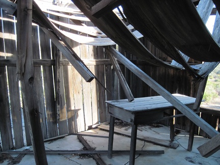 I peek inside the one-room Gold Valley cabin
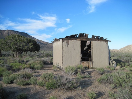 The rear (west side) of the Gold Valley cabin has a window
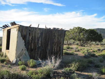 The stucco exterior on the south exterior wall of the Gold Valley cabin is peeling off
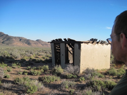 I take one last look at the Gold Valley cabin, with the Woods Mountains in the background
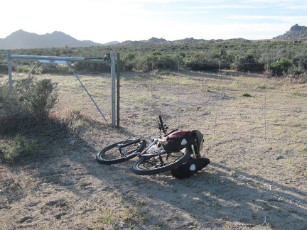 A half mile further up this unnamed Gold Valley road, I encounter a fence (or is it a locked gate?)
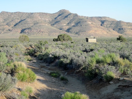 I ride back down the 1.3 miles of this road in Gold Valley, passing the cabin again on the way
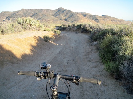 The sandy part of this road is hard to ride, even in the downhill direction!
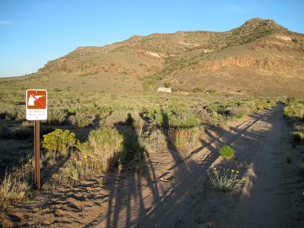 Back on Woods Wash Road and approaching the government-owned residence, I notice a "No-hunting zone" sign
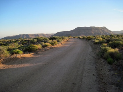 Back on "the good part" of Woods Wash Road, the final 1.5 miles to Black Canyon Road rides smoothly
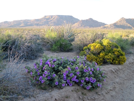 Pink Desert four o'clock flowers and the yellow blooms of Snakeweed(?) pick up the sunset glow nicely
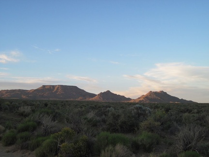 Table Mountain and Twin Buttes take on a postcard-photo aura as I ride slowly up Black Canyon Road
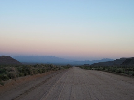 I look back regularly while climbing Black Canyon Road to take in the purple haze in the warmer areas south of Mojave Preserve
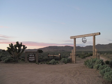 At sunset on Black Canyon Road, I pass the Gold Valley Ranch
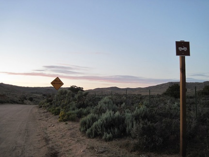 Just north of Gold Valley Ranch, Black Canyon Road is signed as a four-wheel drive road
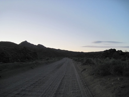 Bumpy, bumpy, slowly uphill pedaling on the upper part of Black Canyon Road
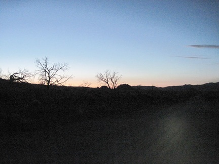 My headlight goes on as Black Canyon Road turns black
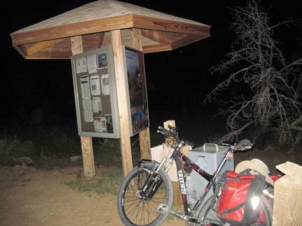 After the four short hills on Wild Horse Canyon Road, I reach the entrance kiosk at Mid Hills campground
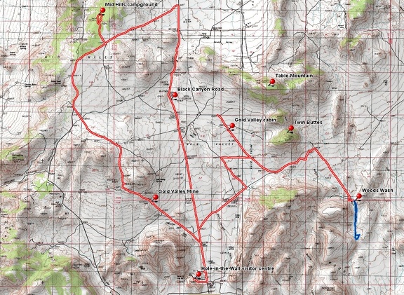 Mountain-bike route across Gold Valley, Mojave National Preserve, from Mid Hills campground to Woods Wash
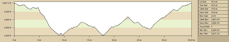 Mountain-bike route elevation profile across Gold Valley, Mojave National Preserve, from Mid Hills campground to Woods Wash
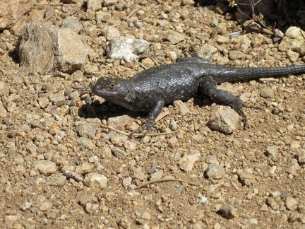 A lizard greets me as I step out of my tent for a short walk after breakfast at Mid Hills campground
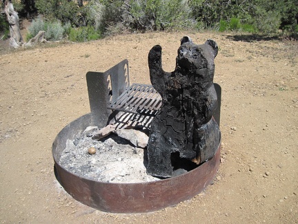 Two campsites away in the near-empty Mid Hills campground is a cute and cuddly wooden bear at the fire pit, a tad burnt
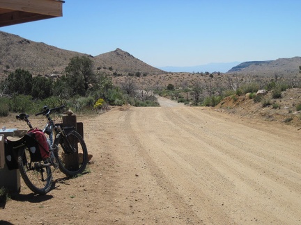 I pack up my bike and ride out of Mid Hills campground on my way to Blue Jay Mine, from where I'll hike into Beecher Canyon
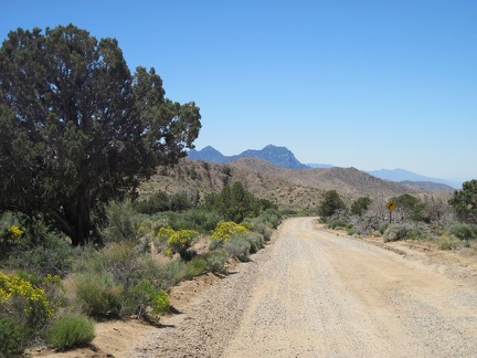 Wild Horse Canyon Road is always so scenic as it rolls gently downward toward the Providence Mountains
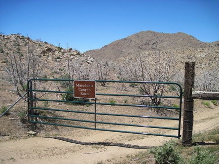 As I pass Macedonia Canyon Road, I notice that it has a nice new gate and is signed now, with a rather large sign
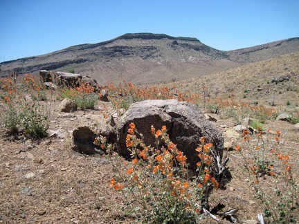 I pass a field of orange desert mallow flowers on lower Wild Horse Canyon Road
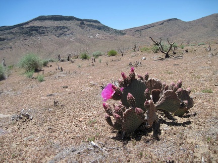 I see my first pink cactus bloom of the day, with Wild Horse Mesa in the background
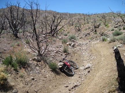 The 1.5-mile-long road to Blue Jay Mine rapidly deteriorates, but makes for a fun ride on a mountain bike
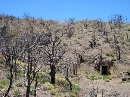 At the end of the road, I lock my bike in a ditch, then start hiking up the hill above the Blue Jay Mine tunnel
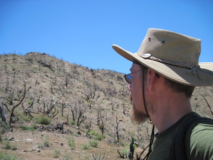 I climb up the hill above Blue Jay Mine toward Hill 1713 at 5575 feet elevation
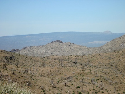 I enjoy the views across Kelso Valley to Cima Dome as I get closer to Hill 1713 in the Providence Mountains
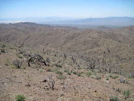 From my privileged position on Hill 1713, I take a short break to enjoy the vistas on all sides; this view looks southwest
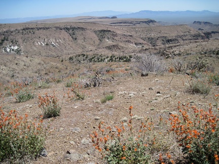 Southeast from Hill 1713 in the Providence Mountains are great views across nearby Wild Horse Mesa and the Beecher Canyon area
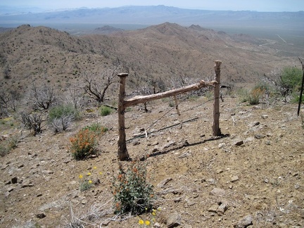 I decide to hike along the ridge toward nearby Hill 1625 in the Providence Mountains and cross through an old ranch fence
 From Hill 1625 in the Providence Mountains I look down a wash that leads into Beecher Canyon
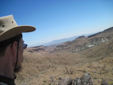 I decide to head down the wash to Beecher Canyon
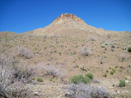 As I walk down into Beecher Canyon, I look up at the hilltops above
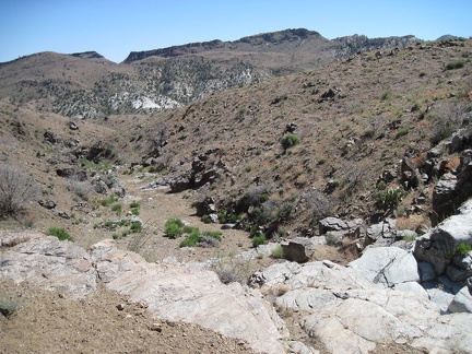 On the way down into Beecher Canyon I find myself approaching a steep rocky drop-off
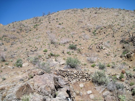 At the drop-off into Beecher Canyon, I spot a historic stack of rocks that once shored up a bypass road around the drop-off
 I walk down into Beecher Canyon on what's left of the old raised road that someone carefully constructed perhaps a century ago
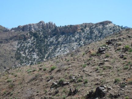 Once down in Beecher Canyon, I look up at distant rock formations in the Providence Mountains in the area around Summit Spring
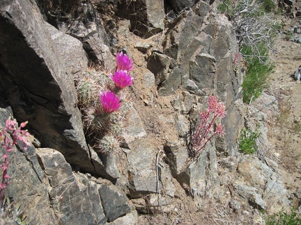 Pink cactus flowers and desert dudleya blooms push out of rocks in Beecher Canyon
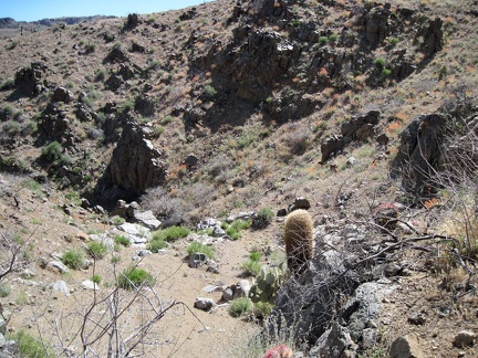 Patches of orange desert mallow flowers abound as I drop down into Beecher Canyon
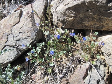 Also still blooming in the lower north fork of Beecher Canyon are a few phacelias
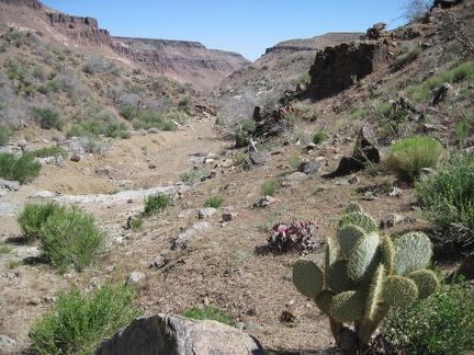 When I reach the junction of the north and east forks of Beecher Canyon, I turn left and start walking up the east fork
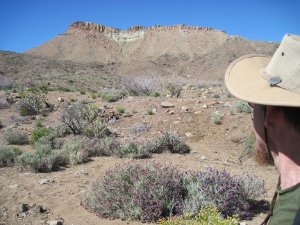 As I begin my way up the east fork of Beecher Canyon, I take note of a steep bluff that I circumvented on my way down
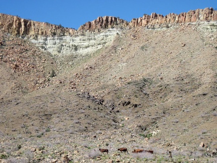 I hear some noise while starting up the east fork of Beecher Canyon and notice a herd of cows in the distance, scurrying away
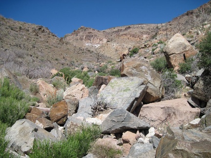 Many large rocks are strewn about in the east fork of Beecher Canyon
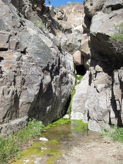 To my surprise, I arrive at a small spring and pool of water in the east fork of Beecher Canyon
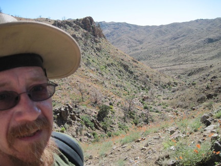 Climbing up the steep hillside to get around the spring in Beecher Canyon is challenging but I eventually find myself above it
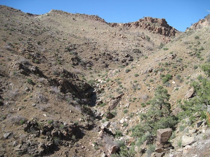 It looks like the climb up the east fork of Beecher Canyon above the spring might be relatively obstruction-free
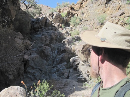 More rock ahead in the east fork of Beecher Canyon...
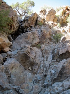 This dry waterfall in the east fork of Beecher Canyon is steeper than it looked from a distance
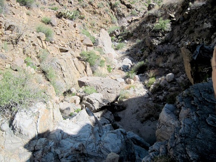 I take a short break after climbing the dry waterfall in Beecher Canyon and look back down at my progress
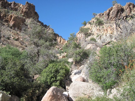 I'm getting close to the top of Beecher Canyon, check my maps, and decide that it's time to turn left (north)
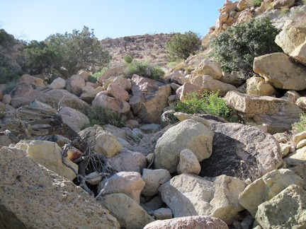 Just a few more boulder piles to climb before I'm completely up out of Beecher Canyon
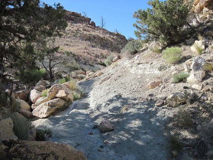 Near the top of the hill above Beecher Canyon I pass by a few junipers growing in limestone-like soil
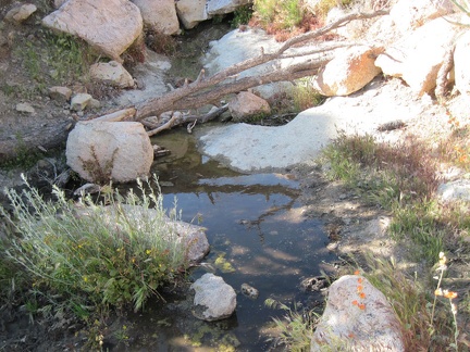 Just when I least expect it, I pass a small pool of water here way above Beecher Canyon
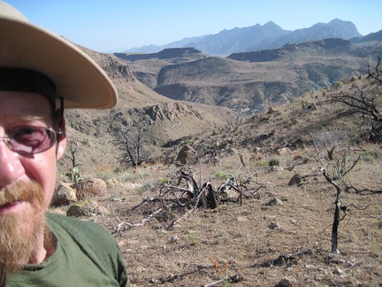 Now up out of Beecher Canyon, views across the contorted landscape to the distant Providence Mountains peaks unfold behind me
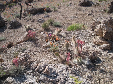 On a fleeting rocky plateau above Beecher Canyon blooms a small garden
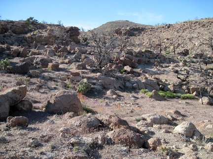 Lots of rock on this plateau above Beecher Canyon
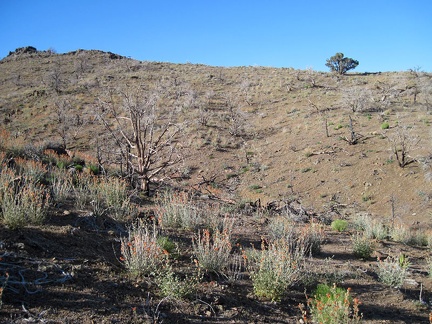 I consult my GPS and find that the next step in getting back to my bicycle is to climb over the ridglet ahead
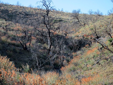 I pass through another field of orange desert mallow flowers on the way over the ridge back to the Blue Jay Mine area
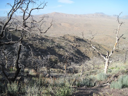 I've crossed the ridge; Blue Jay Mine and my bicycle are down below
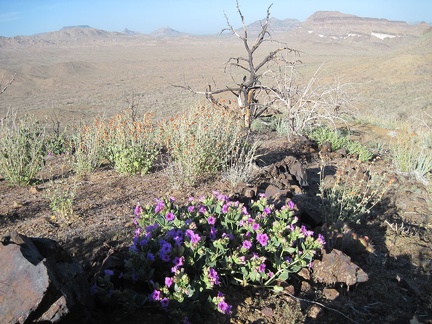 I pass some purple desert four o'clock flowers and more orange desert mallows on the way down to Blue Jay Mine and my bicycle
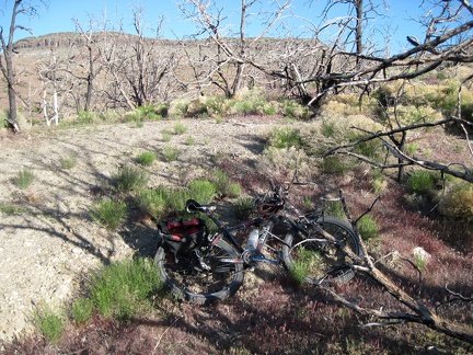 I return to my bicycle by Blue Jay Mine after the hike in Beecher Canyon
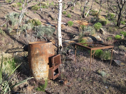 Near Blue Jay Mine are a few ruins of the former Winkler's Cabin that burned during the 2005 brush fires
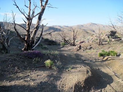 Blue Jay Mine Road is slightly downhill during most of its 1.7 miles back to Wild Horse Canyon Road
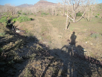 At the bottom of Blue Jay Mine Road, near Wild Horse Canyon Road, the road is almost flat
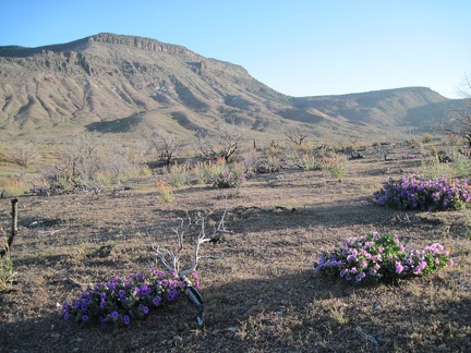 A few desert four o'clocks bloom near the junction of Wild Horse Canyon Road and the road to Blue Jay Mine
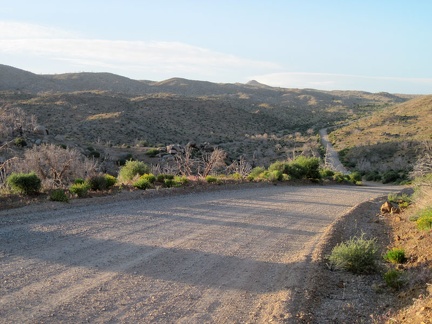 The ride up the final six miles back to Mid Hills campground goes really well
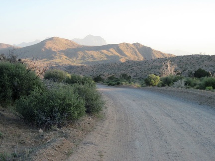 As I climb Wild Horse Canyon Road, I pause to look back toward the glowing hills around Macedonia Canyon
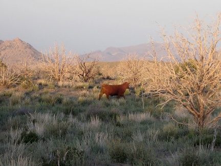 A lone cow darts off into the sunset when he sees me near Wild Horse Canyon Road
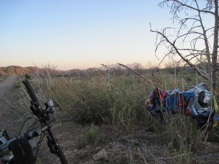 I pull over along Wild Horse Canyon Road to collect a stray balloon for later disposal
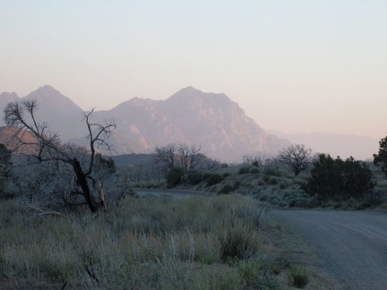 Behind me as I climb Wild Horse Canyon Road is a dramatic view of the peaks of the Providence Mountains
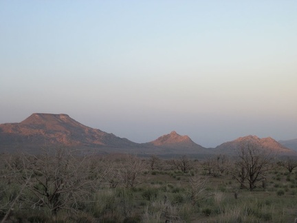 On the upper stretches of Wild Horse Canyon Road, one can see across Gold Valley to Table Mountain and Twin Buttes
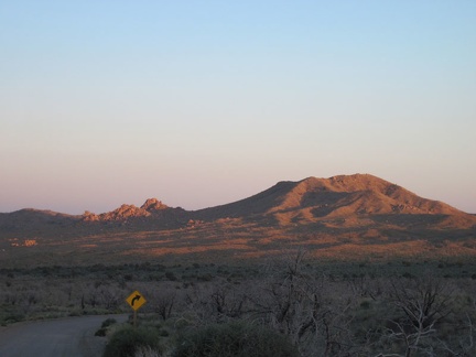 I approach Mid Hills campground on Wild Horse Canyon Road at sunset
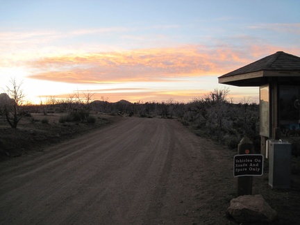 Just before 20h, I pass by the Mid Hills campground entrance kiosk and ride the final 0.6 miles to my campsite
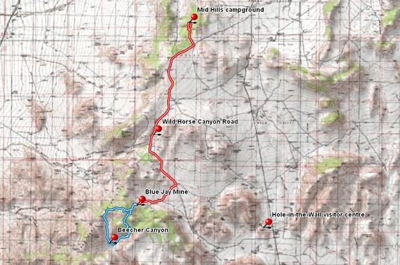 Bicycle route (in red) from Mid Hills campground to Blue Jay Mine via Wild Horse Canyon Road, Mojave National Preserve
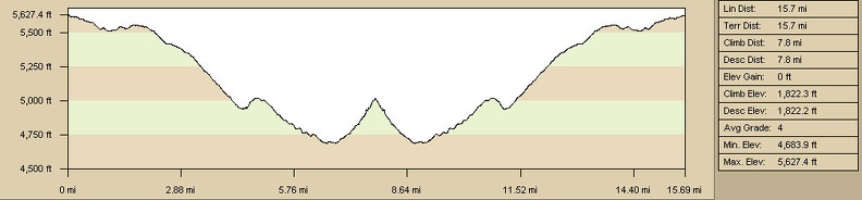 Bicycle route elevation profile from Mid Hills campground to Blue Jay Mine via Wild Horse Canyon Road, Mojave National Preserve
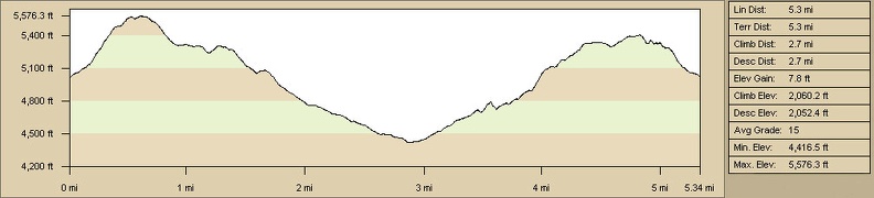 Elevation profile of hiking route in upper forks of Beecher Canyon from Blue Jay Mine
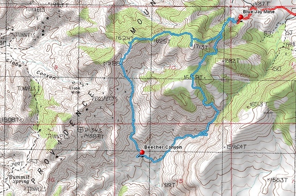 Hiking route in upper forks of Beecher Canyon from Blue Jay Mine
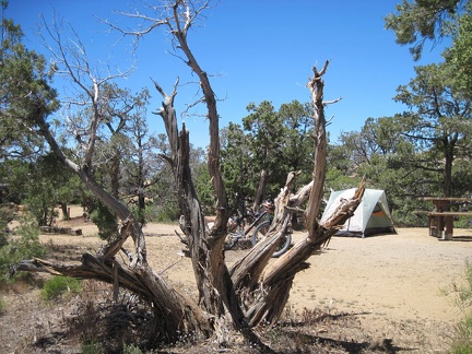 One of several juniper trees around my campsite at Mid Hills campground that has been chopped down by campers for firewood
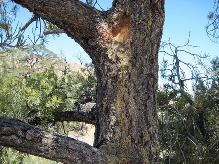 An elderly pinon pine near my tent at Mid Hills campground drools sticky and waxy
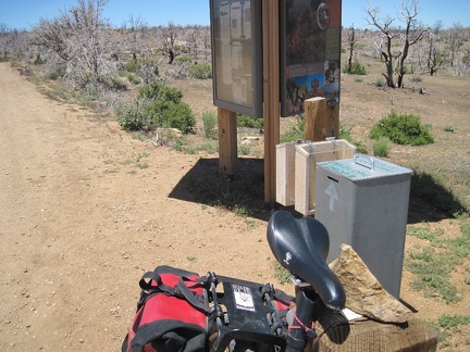 I ride down to the entrance kiosk of Mid Hills campground to sign up for an extra night of camping and deposit my fees
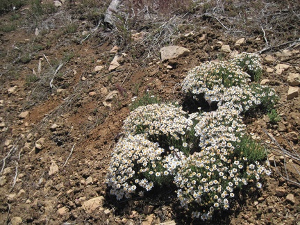 I start the short hike from Mid Hills campground over to Eagle Rocks and pass these diminutive flowers near the campground road
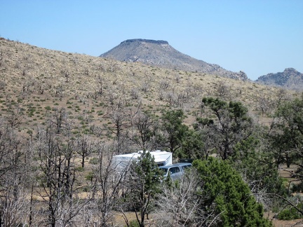 Except for this campsite, Mid Hills campground is almost empty this morning, which is surprising for a Saturday morning
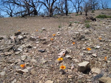 A few mariposa lilies bloom in a rocky area at Mid Hills campground
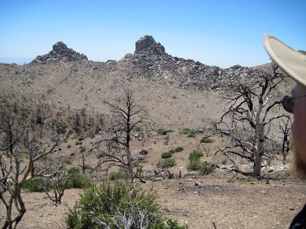 Reaching the turrets of Eagle Rocks from Mid Hills campground requires climbing down into an intervening wide canyon
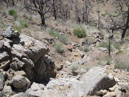 I choose to follow a drainage downward into the canyon below Eagle Rocks
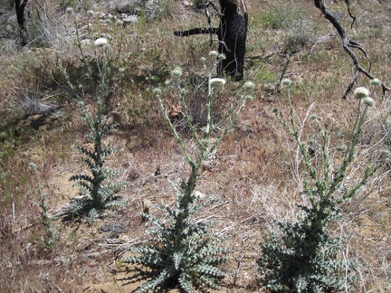 I pass a patch of white thistles on the way down to the canyon below Eagle Rocks
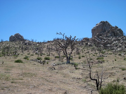 After crossing the canyon, I climb up the hill toward the Eagle Rocks turrets
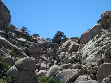 I passed the south end of Eagle Rocks while hiking to Chicken Water Spring last year, but didn't have time to explore the rocks
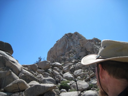 The big rock outcrop ahead at the top looks insurmountable to non-rock-climbers, but I'll continue upward to see how close I get
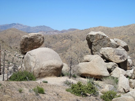 I turn around to take in the views northeast, toward Mid Hills campground on the first ridge, between a couple of rock piles
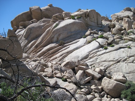 I climb up the eroded rock in the upper area of the Eagle Rocks, Mojave National Preserve
 Manzanitas, which are not usually a desert plant, grow here and there in the Eagle Rocks area
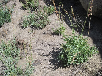 Also in the Eagle Rocks area are occasional patches of Palmer's penstemon
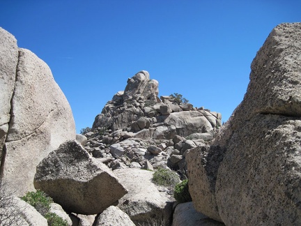 It looks like there's a saddle on each side of the Eagle Rocks pinnacle above
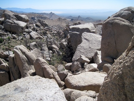 From this saddle in the Eagle Rocks, I look into the haze southwest across Mojave National Preserve
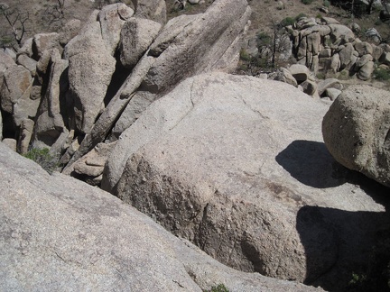 Looking straight down from the saddle, instead of toward Kelso Dunes, reveals a rather steep drop
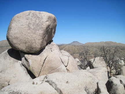 A boulder crowns other boulders at Eagle Rocks, Mojave National Preserve
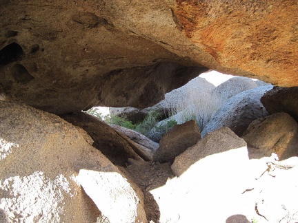 Rock-scrambling at Mojave National Preserve's Eagle Rocks can include scrambling under boulders, not just over them
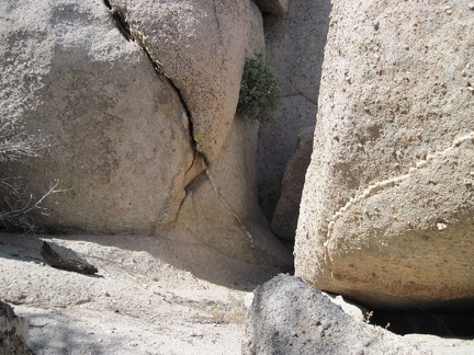 A manzanita grows out of a crack in the boulders at Eagle Rocks
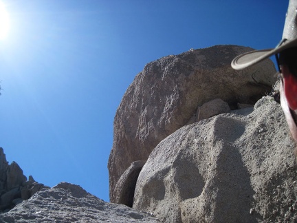 Well, here's a rock summit at Eagle Rocks that I don't think I can climb
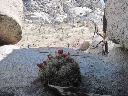 A Claret cup cactus blooms in a shady area of Eagle Rocks where I wouldn't expect to find one
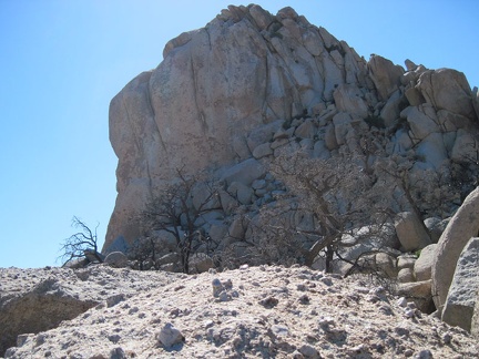 I might be able to climb this Eagle Rocks pinnacle from the right side
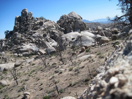 I reach a somewhat open area in the Eagle Rocks on the way to the next pinnacles
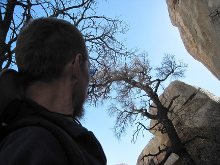 In the shade of some big rocks, I look up through the canopy of a couple of burned trees
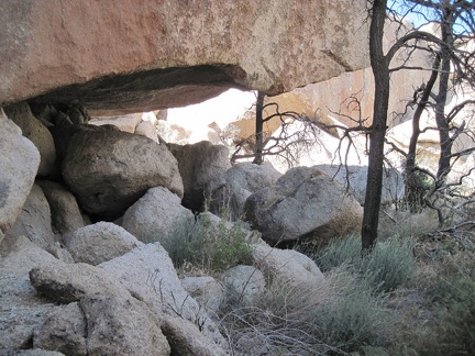 A substantial rock overhang at Eagle Rocks, Mojave National Preserve
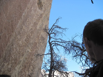 This area of Eagle Rocks is a lot of fun
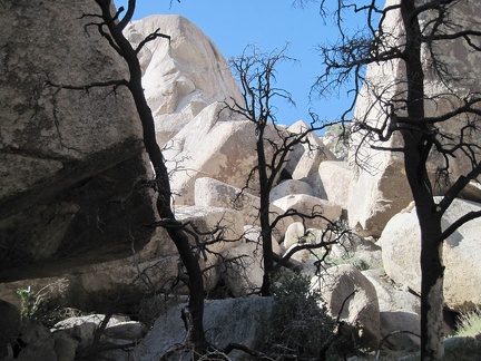 More burned trees at Eagle Rocks, Mojave National Preserve
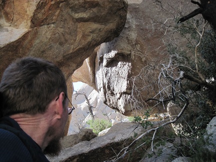 Under boulders at Eagle Rocks, I peer out toward the sunshine
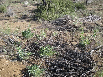 I run across a patch of young Palmer's penstemons in the burned area on the way back to Mid Hills campground
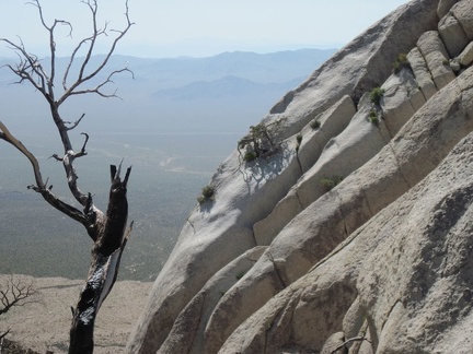 It's amazing how a few trees manage to grow in the cracks between rocks in the steep slopes of Eagle Rocks
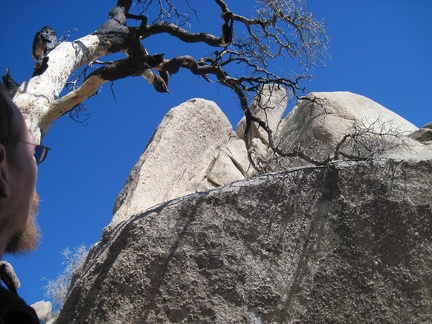 I look up through another burned-tree canopy toward rock towers at Eagle Rocks
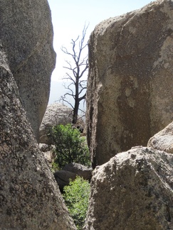 Peering between boulders at Eagle Rocks, Mojave National Preserve
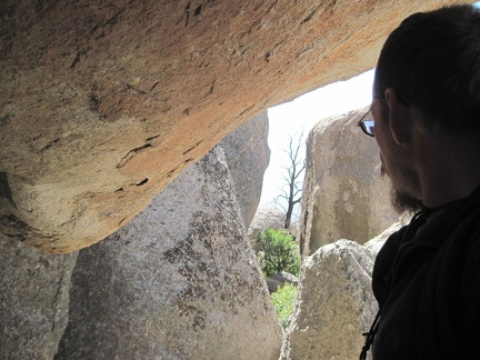 I back up a few feet under a big boulder, still looking at the slot between the rocks in front of me
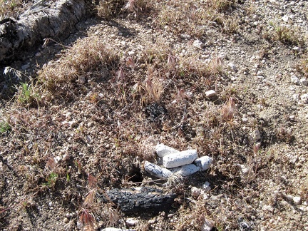 I haven't seen any large animals here today, but this scat shows that some are indeed here somewhere
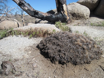 A completely burned mound cactus at Eagle Rocks, Mojave National Preserve
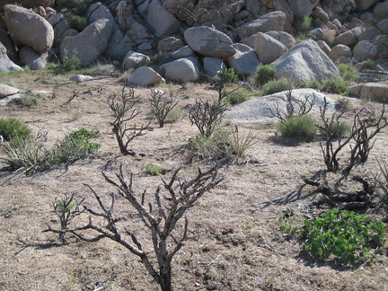 I walk across this flat area, between cholla cactus skeletons, to the next pile of rocks
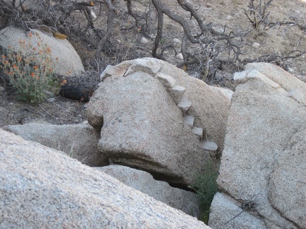 This rock has teeth!
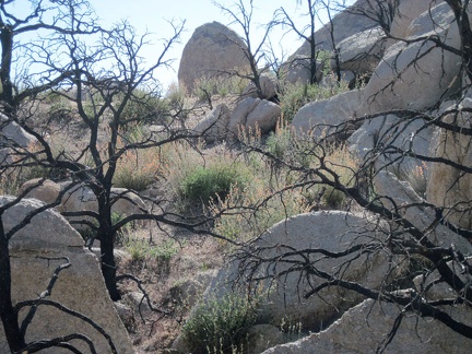 At the south end of Eagle Rocks sits a patch of blooming desert mallows
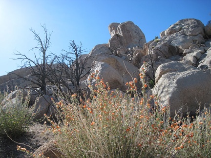 Desert mallow close-up at Eagle Rocks, Mojave National Preserve
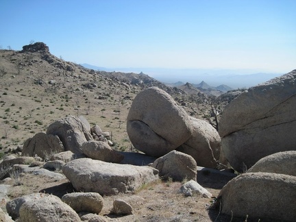 I'm at the south end of the Eagle Rocks now, looking southwest toward the pointy hills around Wildcat and Chicken Water Springs
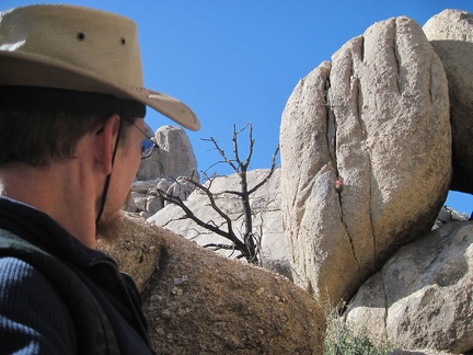 What's that red speck poking out of that boulder?
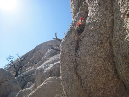 Somehow, a Claret cup cactus is managing to eke out an existence in that crack in the boulder
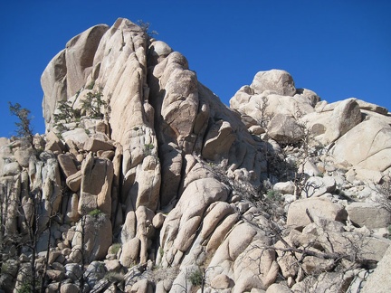 I'm constantly fascinated by the ability of some trees to grow in the upper reaches of the boulders, where soil is almost absent
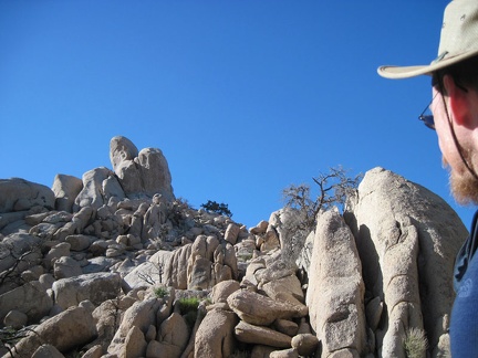 I take a final look up at the Eagle Rocks before starting the hike back to Mid Hills campground
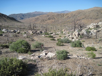 Just east of the south end of Eagle Rocks, I head east (right) across the broad canyon
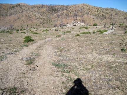 Instead of climbing straight up the hills back to Mid Hills campground, I head south briefly on an old road
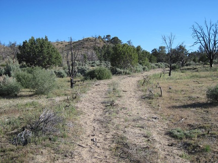 The old road that heads south from Eagle Rocks passes through an area that escaped the 2005 brush fires
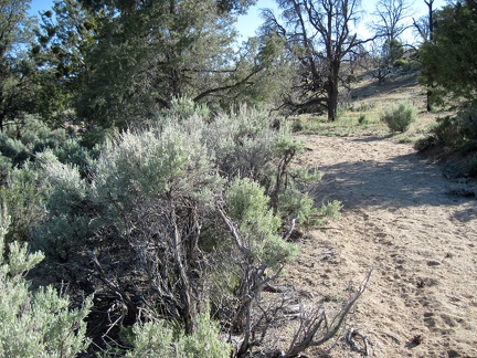 When I reach a patch of mature, unburned sagebrush, I turn east (left) and begin hiking cross-country to Mid Hills campground
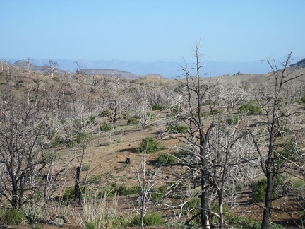 On the way back to Mid Hills campground, I reach an open area with views spanning all the way down to Wild Horse Mesa
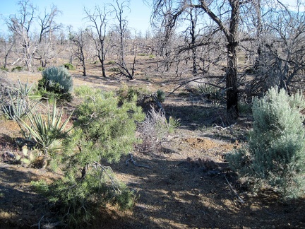 Hiking cross-country back to Mid Hills campground, I exit the boundary of the unburned area
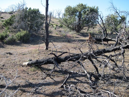 Five years after the 2005 brush fires here, many of the burned trees are finally falling down
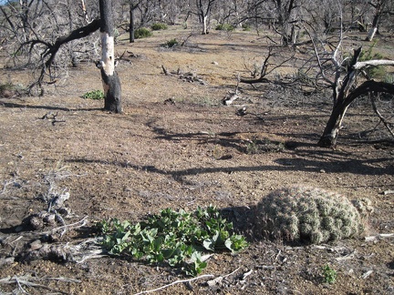 A mound cactus and a desert four o'clock grow in the burned area near Mid Hills campground, Mojave National Preserve
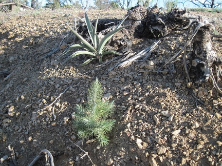 Hurray, this might be a pinon pine seedling growing in the burned area of Mid Hills campground
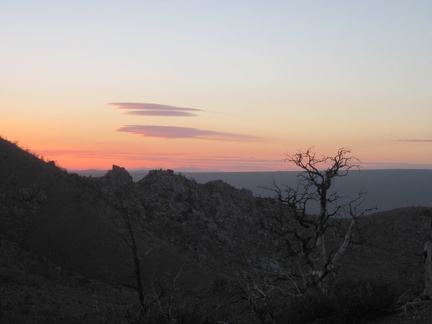 I walk up the hill near my tent to catch another great sunset from Mid Hills campground
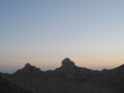 Eagle Rocks pinnacles at sunset, from Mid Hills campground, Mojave National Preserve
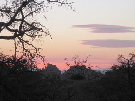 Close-up of sunset behind Eagle Rocks
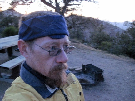 Brrr! It's really cold up here at Mid Hills campground tonight
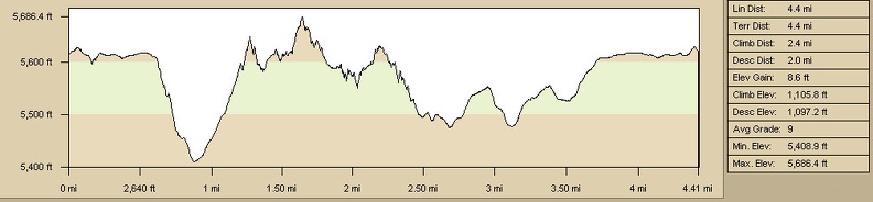 Eagle Rocks hike from Mid Hills campground elevation profile
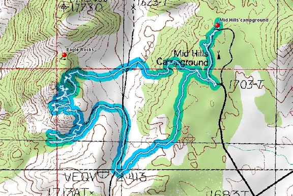 Eagle Rocks hiking route from Mid Hills campground
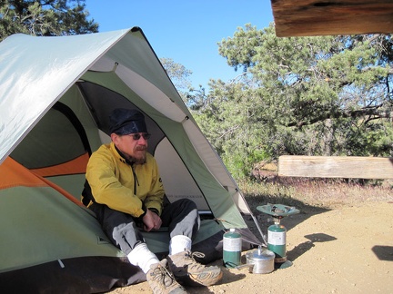 I'm up early this morning, enjoying the warm morning sun on my very cold tent; it must have dropped down into the 30s last night
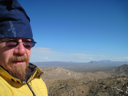 I walk up the hill near my campsite to take in the views from around 5600 ft elevation before leaving Mid Hills campground
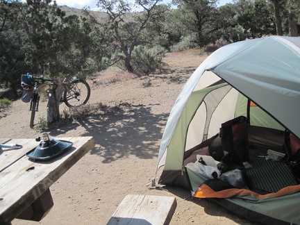 After spending five nights at Mid Hills campground, the contents of my tent have become quite disorganized
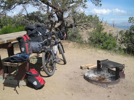 The 10-ton bike is ready to leave Mid Hills campground for Nipton
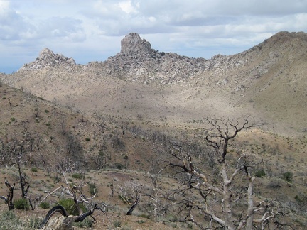 One last look at Eagle Rocks before I leave Mid Hills campground
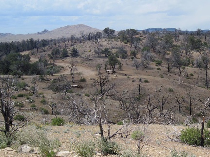 Goodbye Mid Hills campground for this year
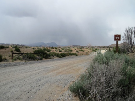 As I exit Mid Hills campground, I notice what looks like rain clouds over in the area of the Providence Mountains
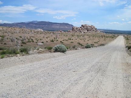 I head east, downhill, a couple of miles on Wild Horse Canyon Road until it reaches Black Canyon Road beyond the pinnacle ahead
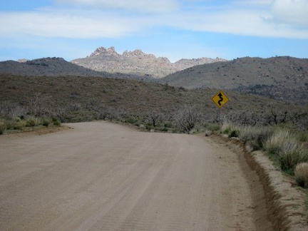 I ride through the shade of a dark cloud as I descend Black Canyon Road toward Cedar Canyon Road
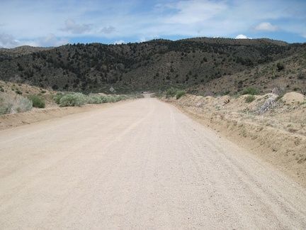 The north end of Black Canyon Road is a nice straight downhill to the "T" intersection at Cedar Canyon Road
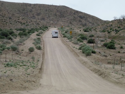 I watch a small RV rattle its way up, at about 5 miles per hour, the washboarded hill of Black Canyon Road that I just descended
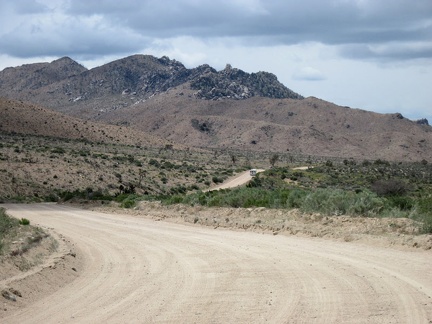 Riding west on Cedar Canyon Road, I get views of the Eagle Rocks area from down below
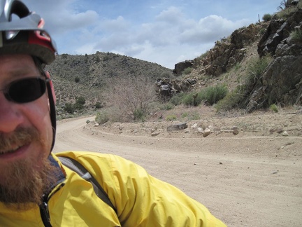 Riding through Cedar Canyon is scenic, but my fingers are getting cold!
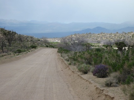 The road pops out of Cedar canyon and begins its way down the foothills toward Kelso-Cima Road
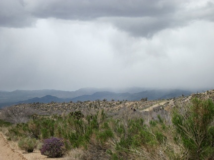 Beyond the purple sage, it looks like the area around Death Valley Mine might be getting a shower right now
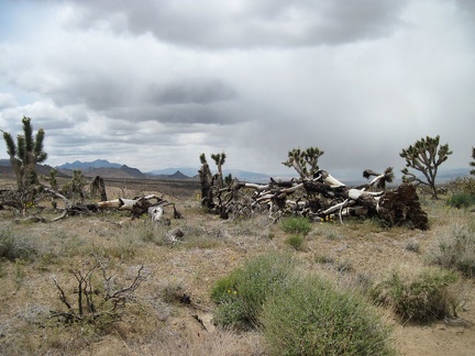 Many fallen joshua trees are seen along Cedar Canyon Road where the 2005 brush fires burned
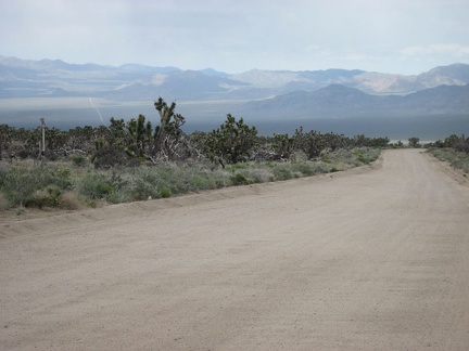 I'm now in the small area of Cedar Canyon Road where I can usually get cell-phone reception
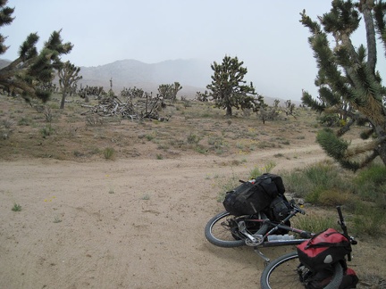 I turn down the little road off Cedar Canyon Road for a short break and watch the rain clouds approach
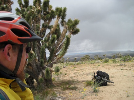 I shove my cell phone up to my mouth and enjoy the reception here, as well as the view of Cima Dome in the distance
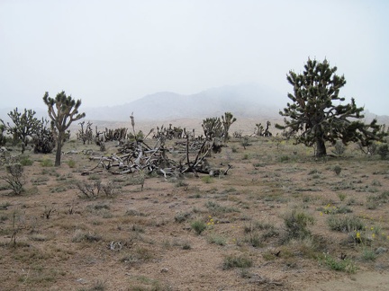 The moist clouds blow past; what first looks like a bit of pollen in the breeze are a few snowflakes
 After my cell-phone break, I speed down the final 2.75 miles of Cedar Canyon Road at about 20 mph; pavement begins just ahead
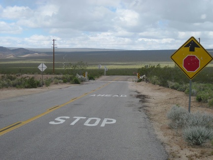 I cross a cattleguard, then the train tracks, then turn right (north) on Kelso-Cima Road at the stop sign
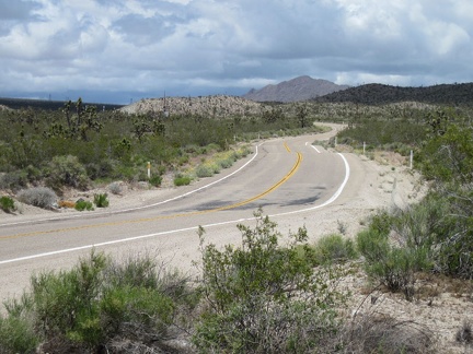 I ride almost five miles up the gentle grade of Kelso-Cima Road to the Cima Store, gaining about 450 feet in elevation
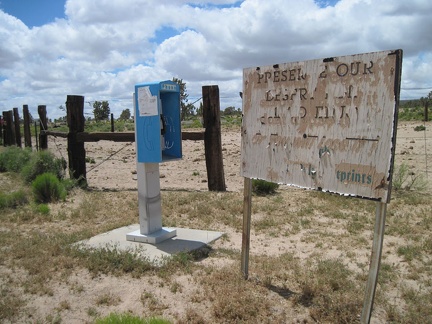 Outside the Cima Store is a pay phone and a very worn sign telling us to preserve our desert (good message)
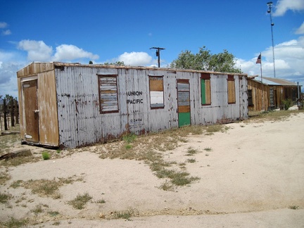 Also by the Cima Store sits an old boxcar or trailer
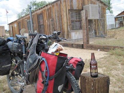 Cima Store is open today, so I stop for a bag of chips and a bottle of blogger Morongo Bill's esteemed Sioux City Sarsaparilla
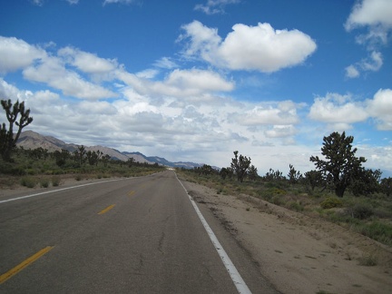 I finish my snacks from the Cima Store and start riding Morning Star Mine Road, which is flat at first
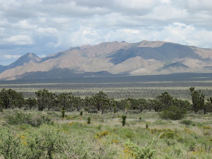 From the upper stretch of Morning Star Mine Road, I enjoy the views across miles of joshua-tree forest to the New York Mountains
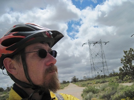 I stop briefly off Morning Star Mine Road where the power lines cross
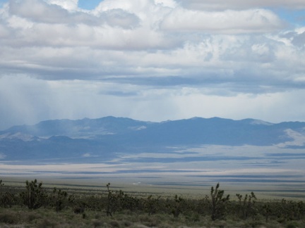 Looking across Ivanpah Valley from upper Morning Star Mine Road, I wonder if maybe I will experience rain after all
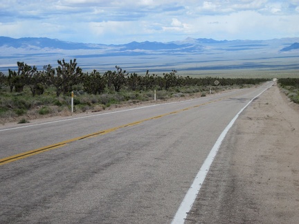 I begin the stimulating descent down Morning Star Mine Road into Ivanpah Valley, and I don't stop until I reach the bottom
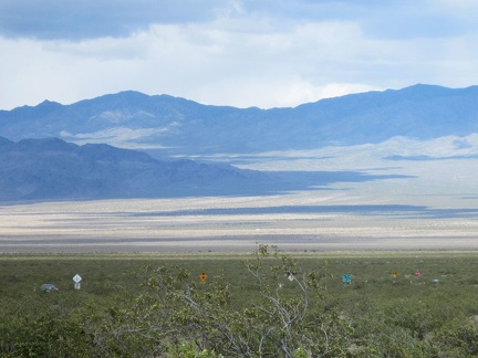 Near the bottom of Morning Star Mine Road, signs and cars pop up through the creosote-bush scrub
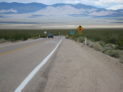 I reach that stop sign in the middle of nowhere at the bottom of Morning Star Mine Road, at the junction of Ivanpah Road
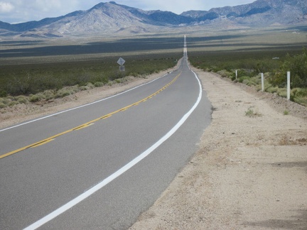 I pause at the end of Morning Star Mine Road to look east up Ivanpah Road into the New York Mountains
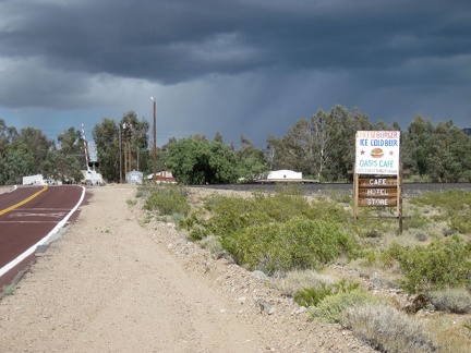 I ride 3 miles on Ivanpah Rd, then 7 miles across Ivanpah Valley on Nipton Road, and arrive at Nipton, population 20
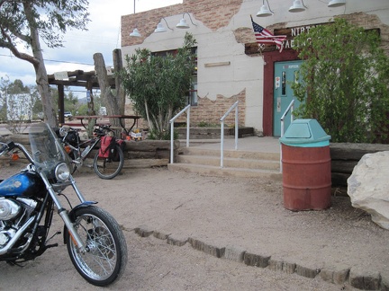 I pull up at the Nipton store and sign up for a campsite for the night