Home 7119

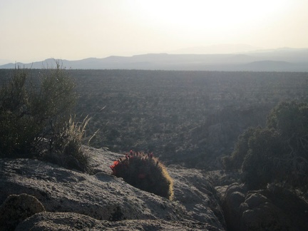 This Claret-cup cactus is comfortable growing on a rock overlooking the Cima Dome expanse
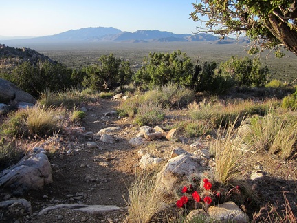 We pass another blooming Claret-cup cactus along Teutonia Peak Trail as we descend
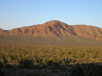 Teutonia Peak Trail bends and heads toward the northeast
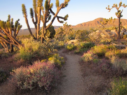 Desert sages along Teutonia Peak Trail pick up the pre-sunset orange glow
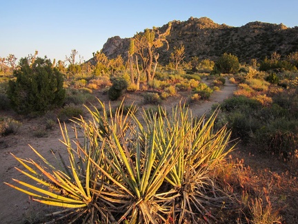 We turn around for a moment to look back toward Teutonia Peak
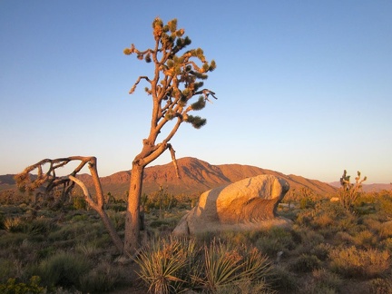 Rock outcrops and irregular joshua trees create endless visual interest on the high plain between Teutonia Peak and Kessler Peak
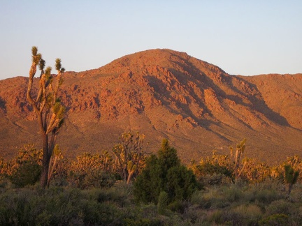 Kessler Peak soaks up as much of the reddish light as it can
 The lower part of Teutonia Peak Trail was once an old road, as is visible here
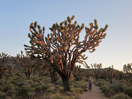 Heather pauses to look at another one of the giant joshua trees along Teutonia Peak Trail
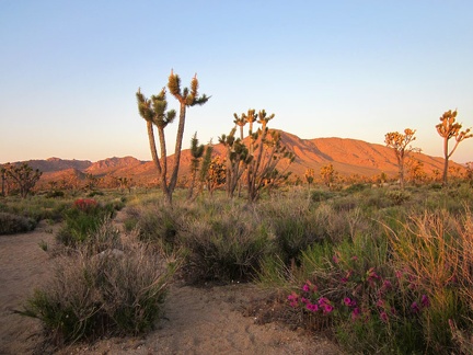 We're almost back at the minivan when we pass one last Desert four o'clock blooming in the sunset
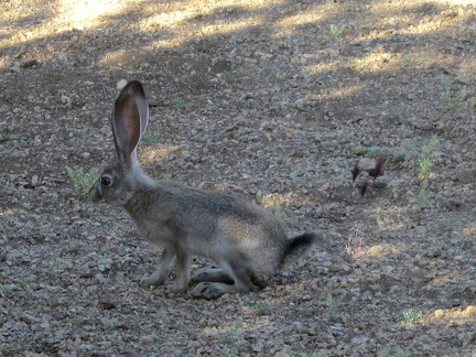 My final morning at Mid Hills campground, I hear a noise outside my tent, and guess who it is?
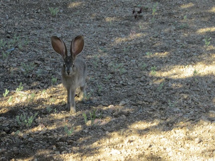 The cottontail rabbit hears me and looks over my way before darting away
 After four great nights here at Mid Hills campground, I pack up; a strong gust of wind blows my tent over once it's half empty
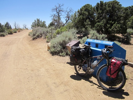 I've procrastinated all morning, but I'm finally packed and ready to leave Mid Hills campground
 I always enjoy the expansive views across Round Valley while riding down Wild Horse Canyon Road
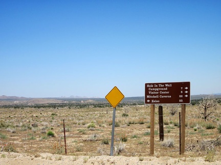 At the end of Wild Horse Canyon Road, I turn left on Black Canyon Road for a couple of miles
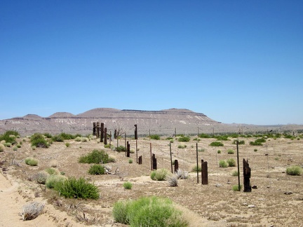 An old wooden fence along Black Canyon Road that burned in the 2005 brush fires has been replaced by a wire fence
 I pause along Black Canyon Road to take a look across the valley to Table Top Mountain
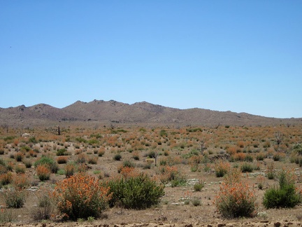 I zoom in for a better look at the expanse of orange Desert mallows in this part of Round Valley
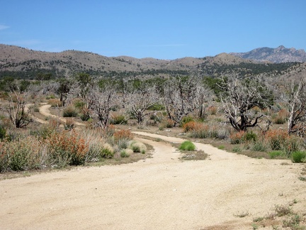 Now it's time to ride down "The Shortcut Road" between upper Black Canyon Road and Cedar Canyon Road
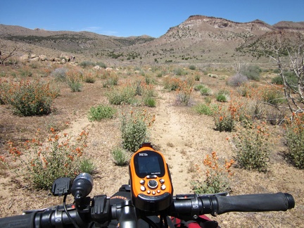 The "Shortcut Road" is only 3/4 mile long; soon enough, I'm approaching Cedar Canyon Road, that horizontal line ahead
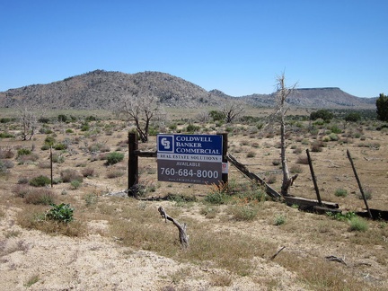 Oooo, land for sale on Cedar Canyon Road
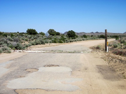 Cedar Canyon Road east of the Mid Hills is mostly unpaved, except for this short stretch by a cattle guard
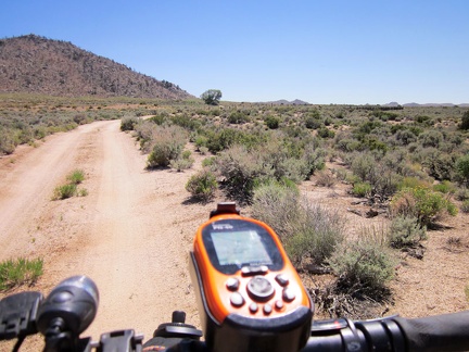 Since I'm in no rush today, I decide to take a short detour over to Government Holes, that big tree up the dirt road here
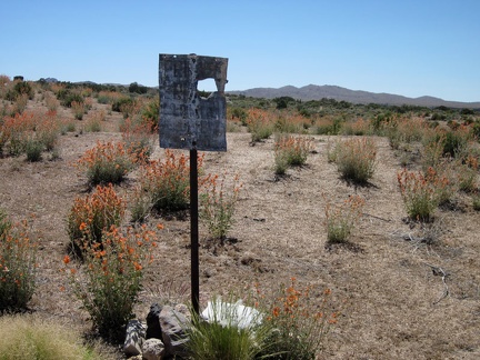 This sign near Government Holes used to say something about private property
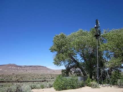 Well, this is it: Government Holes, Mojave National Preserve
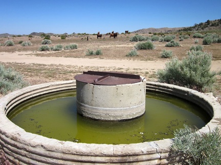 I park the 10-ton bike and walk over to the Government Holes corral, next to which a cistern full of green water glows
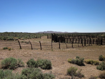 The corral at Government Holes, Mojave National Preserve
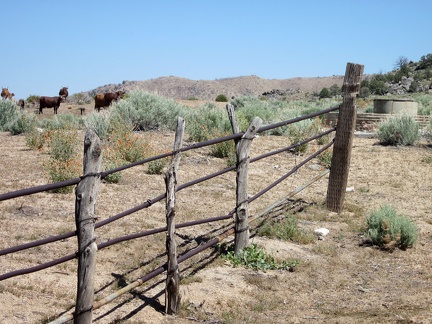 Some of the old fencing at the Government Holes corral is made of unhewn wood posts with metal horizontal members
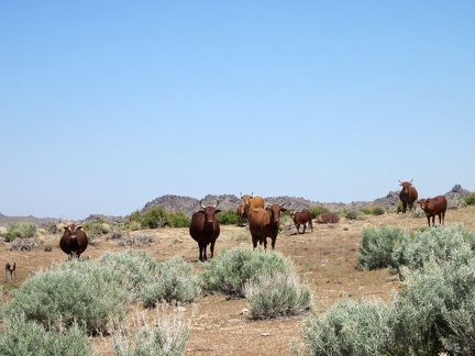 OK fat bovines, I'll leave you alone and let you get back to your green water
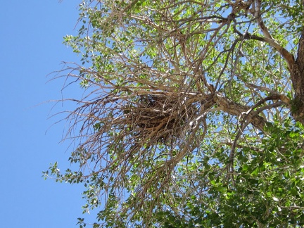 A substantial bird's nest up in the Government Holes cottonwood tree also watches me
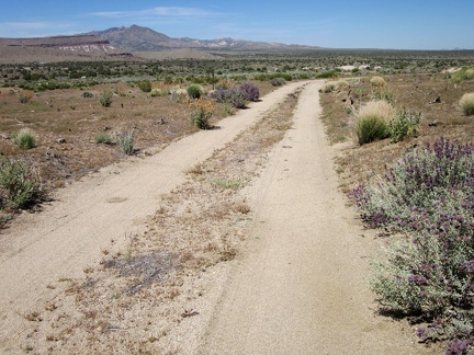 I ride down an old alignment of the Mojave Road that will arrive at the Bert Smith Rock House after about 1.5 miles
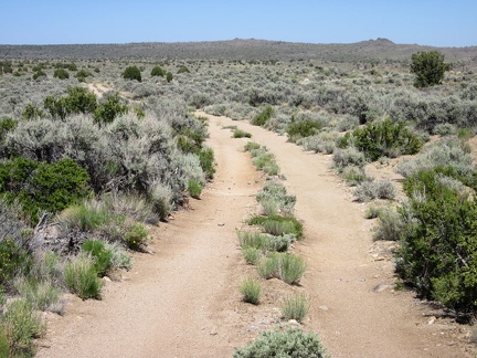 This little piece of dirt road is a good mountain-bike ride, if you like sagebrush flats
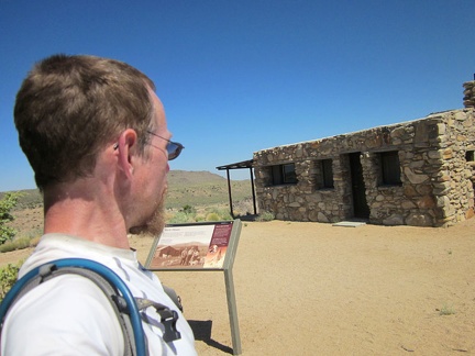 I wasn't planning on revisiting the Bert Smith Rock House today (I was here last week)
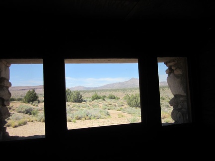 Gotta love the view toward the New York Mountains from the front windows of the Bert Smith Rock House
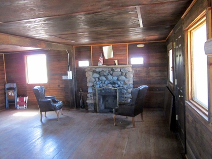 There's something so luxurious to me about the solid wood interior of the Bert Smith Rock House
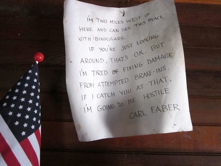 A warning note above the fireplace in the Bert Smith Rock House
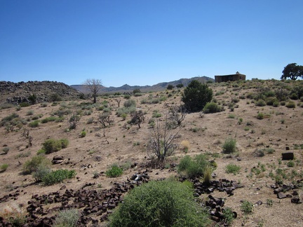 I go for a walk around the Bert Smith Rock House property, which I didn't do on my visit here last week
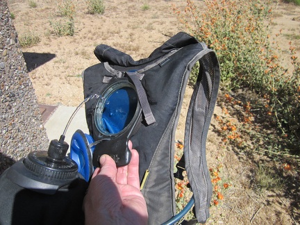 Before I leave the Bert Smith Rock House and ride over to Pinto Valley, I refill my Camelbak
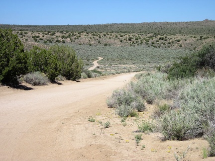 I leave the Bert Smith Rock House and coast down the hill into Watson Wash
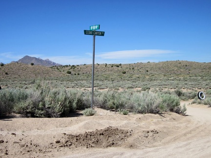 Here I am at the beginning of New York Mountains Road
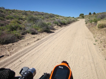 The first part of New York Mountains Road slowly climbs out of Watson Wash
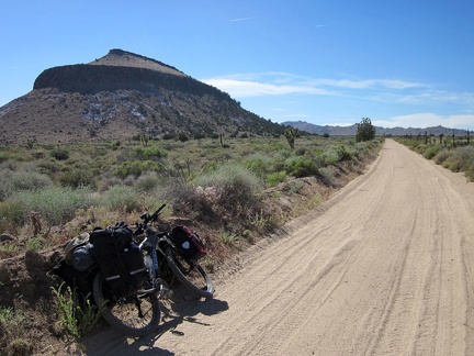 New York Mountains Road passes the eastern tip of Pinto Mountain on a very gentle uphill
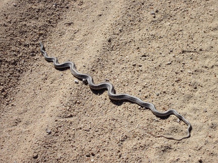 A snake crosses New York Mountains Road, Mojave National Preserve
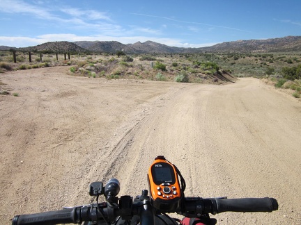 I reach a fork on New York Mountains Road and veer to the left on the lesser path toward Howe Spring
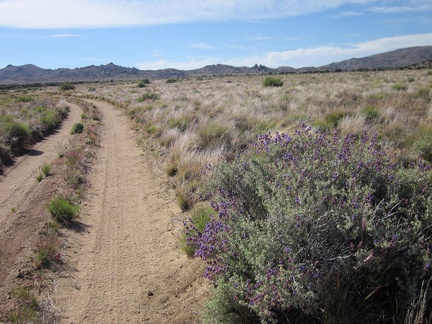 This purple sage stands out along Howe Spring Road since this part of Pinto Valley is mostly dry grassland
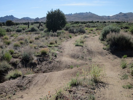 Howe Spring Road is rather rough in places, but nothing that a high-clearance can't take care of
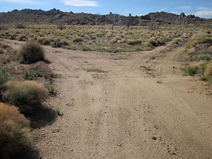 Ah, another crossroads! The right fork leads to Howe Spring, the left to Bathtub Spring
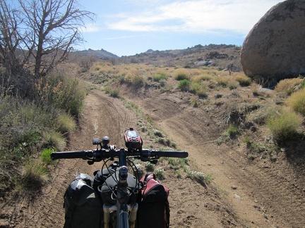 I pass a big boulder alongside the road to Bathtub Spring
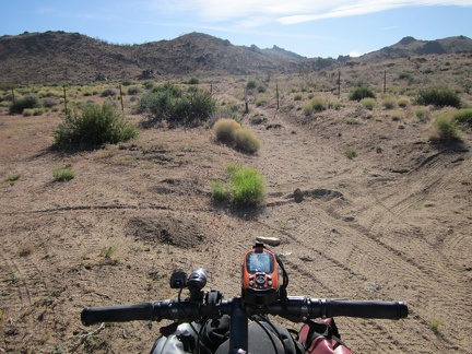 I arrive at the end of the road toward Bathtub Spring
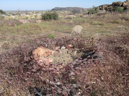 Ah, there's even a fire pit here, which doesn't look like it has been used in a while
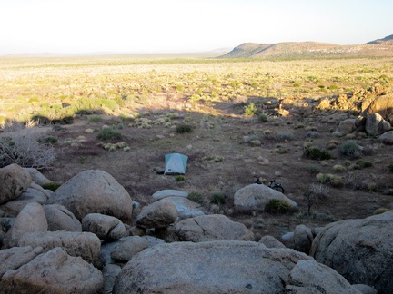 I go for a walk in the adjacent rock piles to get familiar with the area around my new campsite
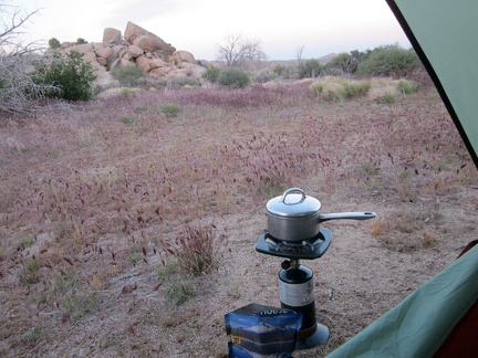 Time for my evening meal; I'm hungry! Mountain House Sweet and Sour Pork with Rice, predictably tasty
 A sandy wash near my tent makes for a nice place to dig my morning cat hole, but of course I won't disturb this chia sage
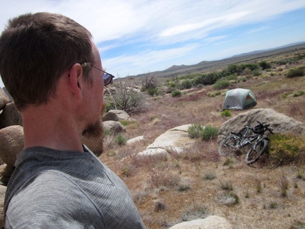 Light clouds moved in overnight, attenuating the morning sun and allowing me to sleep in until 9h30, wow!
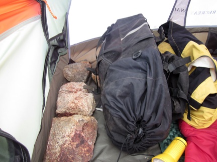 The wind has picked up again, so I place large rocks inside my tent before leaving on today's hike
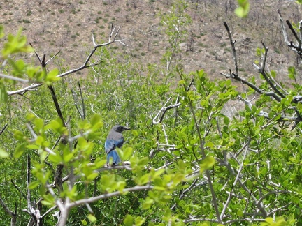 I've been hearing occasional bluejay chirps all morning
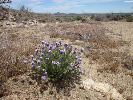 The Five Springs hike begins and I pass a blooming Goodings verbena as I walk away from my campsite
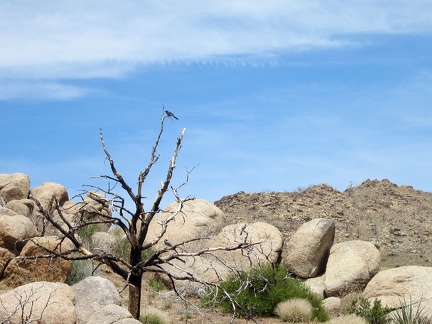 A couple of bluejays perch on a burned tree, watching my tent
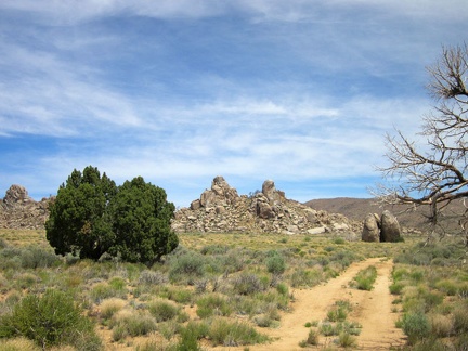 I start by walking up the road toward Howe Spring, spring #1 of 5 on today's hike
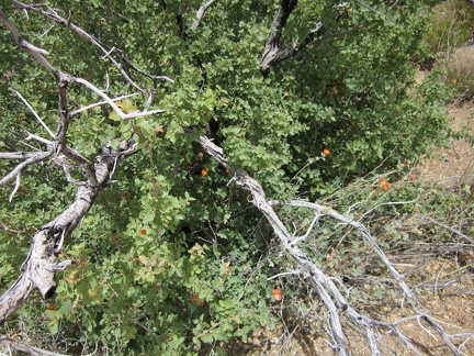 Approaching Howe Spring, I notice some old scrub oaks growing back from their burned structure
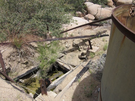 The old cistern at Howe Spring is dry, but there is some water in the adjacent hole in the ground
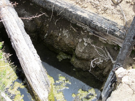 The water at Howe Spring is quite stagnant!
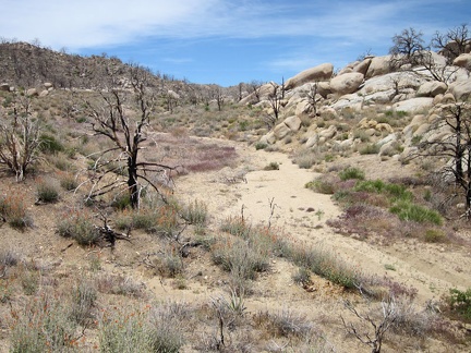 I continue walking up the wash beyond Howe Spring toward the top of one of the forks of Butcher Knife Canyon
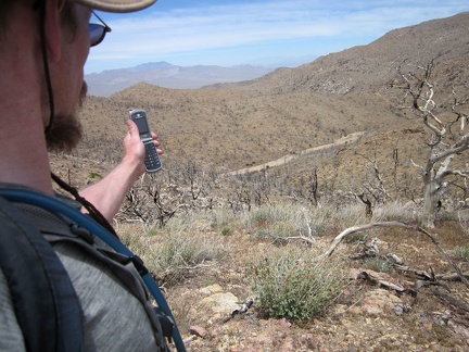 I relax at the top of Hill 1751-T above Butcher Knife Canyon and try my cell phone before hiking down to the sandy wash below
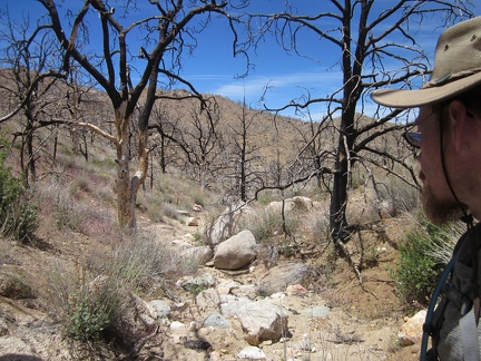 The hike down into Butcher Knife Canyon starts off as a small, rocky drainage
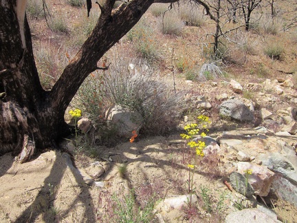 A few yellow Groundsel flowers and orange Desert mallows brighten up the burned area here
 Upper Butcher Knife Canyon just looks like a bunch of sand at first, but many little pincushion flowers grow here
 An instant later, I arrive near the top of Butcher Knife Canyon and start the downhill hike
 A little further down Butcher Knife Canyon, a green carpet covers the sandy ground
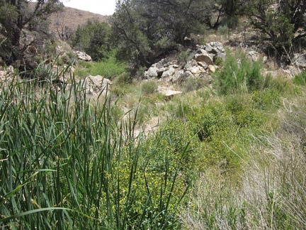 I've just reached the really green part of Butcher Knife Canyon
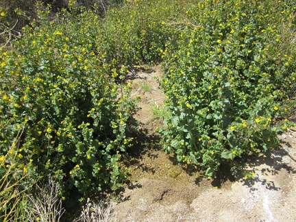 Aha, a trickle of water passes by these Mimulus bushes (Monkey flower) and their yellow flowers in upper Butcher Knife Canyon
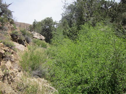 There's enough water here in upper Butcher Knife Canyon that the stream channel is quite brushy
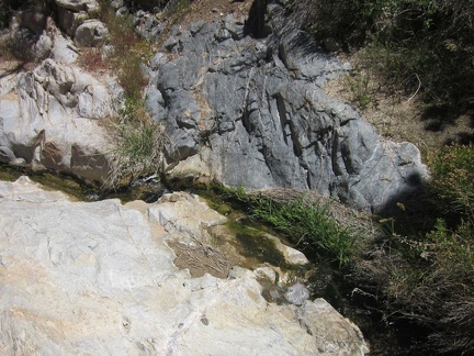 The stream in upper Butcher Knife Canyon is not big, but it is constant
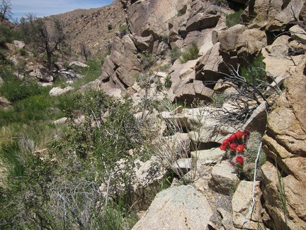 As much as possible, I try to walk along the rocky sides of Butcher Knife Canyon, instead of through the thick brush
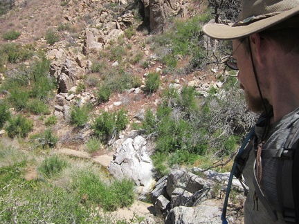 On the other side of Butcher Knife Canyon, I find myself on ground too steep (again), and have to climb back down to the stream
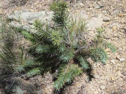 Nice, a little pinyon pine growing on the side of Butcher Knife Canyon
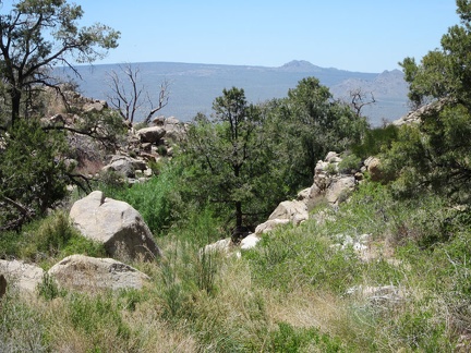 I come around a bend in Butcher Knife Canyon and get my first view out toward Cima Dome
 I have more patches of brush to cut through or circumvent here in Butcher Knife Canyon
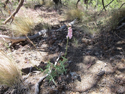 I've seen a few penstemons blooming here in Butcher Knife Canyon today
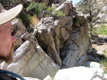 I climb up some rocks, but it's a dead-end, so back down to the Butcher Knife Canyon stream I go
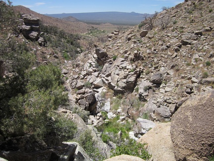 I'm getting close to the mouth of Butcher Knife Canyon now
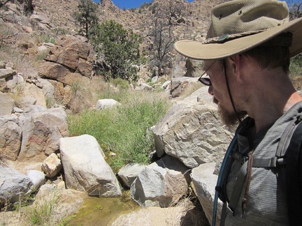 There's enough water at this spot in Butcher Knife Canyon for a small pool to form
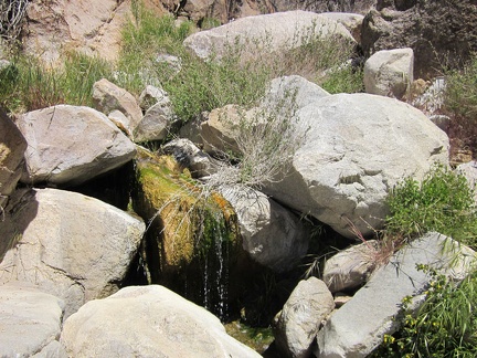 This is my official photo of Butcher Knife Spring, spring #2 on today's five-spring hike
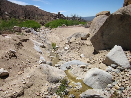 Exiting the mouth of Butcher Knife Canyon, erosion in the sand shows that there's quite a bit of water here from time to time
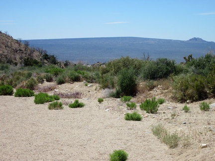 I'm finally out of Butcher Knife canyon and walking down an easy-to-hike sandy area
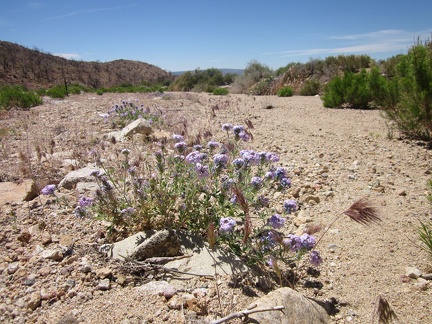 A few verbenas are still flowering in the mouth of Butcher Knife Canyon
 The road up to Butcher Knife Canyon is just outside the Wilderness boundary, beyond which vehicles are prohibited
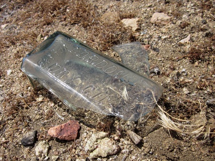 Ah, an old Gordon's dry gin bottle...
 I hike across an area with a lot of Fremont pincushion flowers
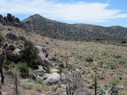 Cottonwood Spring is only a bit more than a mile away
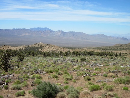 Burned joshua trees are scattered across this plain, but fragments of the old juniper forest survived the 2005 brush fires
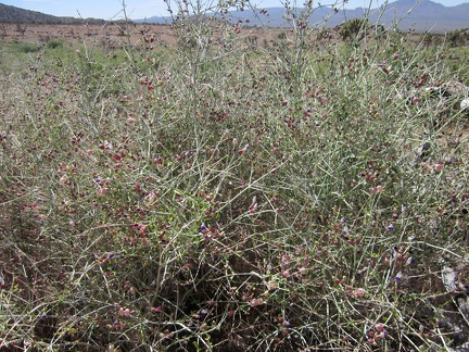 There's quite a bit of Paperbag bush growing on the burned plain between Butcher Knife Canyon and Cottonwood Spring
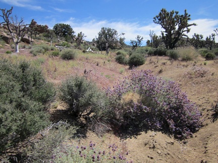 I'm always happy to pass flowering Desert sages (Salvia dorrii)
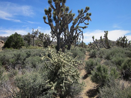 Other animals before me have carved a bit of a path in the stiff blackbrush on the the plain
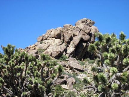 There's never a shortage of rock formations to amuse one's eyes while hiking in the Mid Hills and New York Mountains
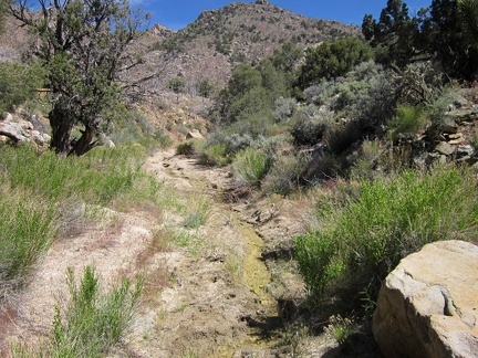 I locate the stream that emanates from Cottonwood Spring and start following it upstream
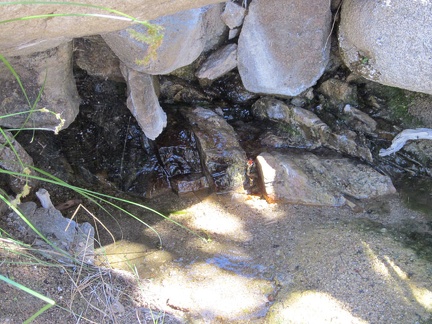 I arrive at what appears to be the source of Cottonwood Spring, spring #3 on today's hike
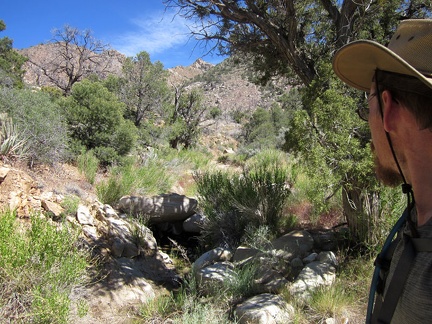 I figure that I might as well walk over the hill to the real Cottonwood Spring as marked on my maps, since I'm in the area
 My next goal is to climb over those hills and arrive at the Cabin Springs area, spring #4 of the day
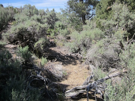 Part of the hillside leaving Cottonwood Spring is covered in sagebrush, and a few pinon pines
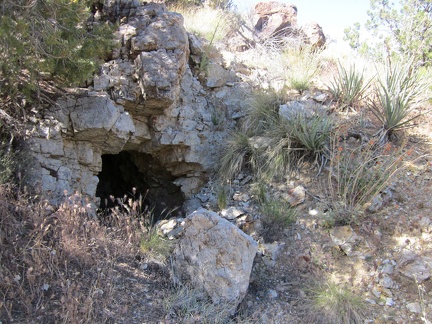 I stumble across a small prospect above Cottonwood Spring, Mojave National Preserve, not marked on my map
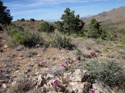 One of the hilltops between Cottonwood Spring and Cabin Springs is topped with numerous flowering cacti
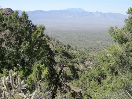 The hills between Cottonwood Spring and Cabin Springs are high enough to provide great views
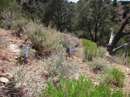 This open hillside in the Mid HIlls boasts a few delphiniums and Desert sage flowers between the junipers and pinon pines
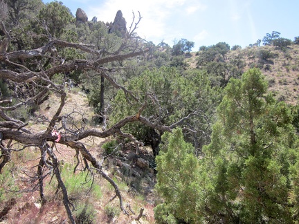 Hmmm... a pink ribbon tied to a tree branch, marking a hiking route in this remote part of the New York Mountains
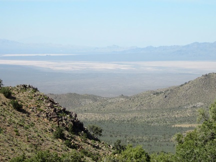 More awesome zoom-in views across Ivanpah Valley from the hills between Cabin Springs and Cottonwood Springs
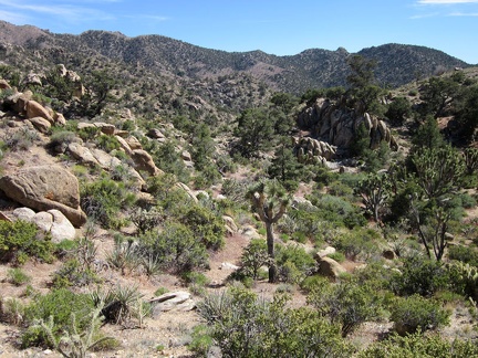 I'm on a little plateau now, headed toward the Cabin Springs area
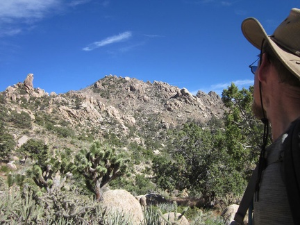 That rock outcrop on the ridge line at far left looks like a hawk's head
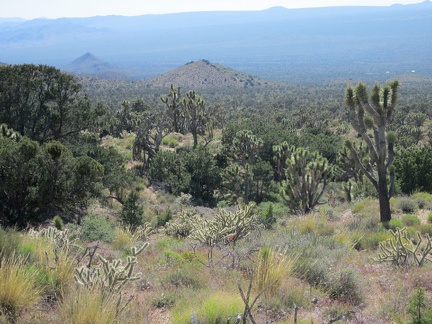 This views down the hill toward Cima Dome across upper Ivanpah Valley are quite nice
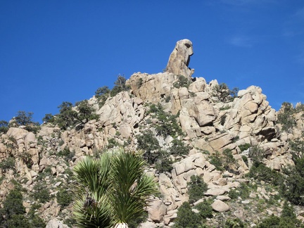 I keep looking at the hawk-head rock formation as I walk past the hills near Cabin Springs
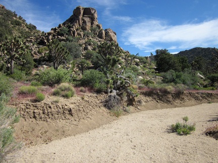 I reach a sandy wash near Cabin Springs, so I walk down it briefly
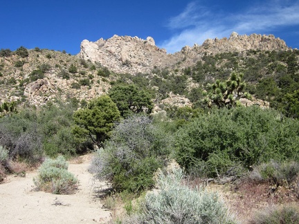 More rocky ridges near Cabin Springs
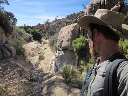 I arrive at a stream flowing down from Cabin Springs and follow it for a short distance
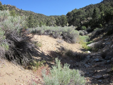 It's past 16h30 now, and I realize I have to climb up over the ridge and skip a side trip to Live Oak Spring
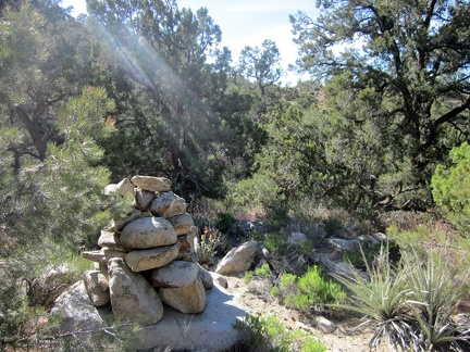 To my surprise, out here in the middle of nowhere in the New York Mountains, I come across a rock cairn
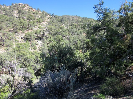 The hill above Cabin Springs that I need to climb is fairly steep
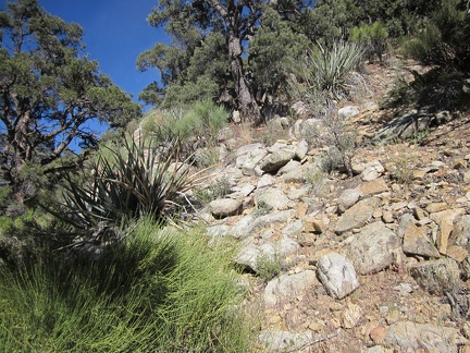 I have good footing on this hill, but have to be careful not to get to close to those yuccas in case I slip!
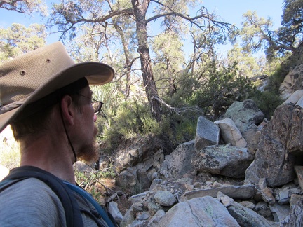 Just look at the rocks and keep climbing upward!
 More rocks, and even a few old fallen trees, to climb over on the way up the hill above Cabin Springs
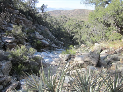 As I reach the top of a rock staircase above Cabin Springs, the views begin to open up behind me
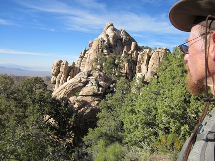 I'm getting closer to the ridge, near one of the spires that tower over the Cabin Springs area
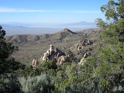 As I get close to the New York Mountains ridge, I can now see all the way across Ivanpah Dry Lake in the distance
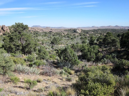 I reach the crest of the New York Mountains; my world suddenly changes with views to the other side
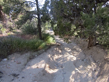 The route back to my Pinto Valley campsite will be cross-country, with lots of little ups and downs
 I cross over to another small drainage, then follow it uphill a short distance
 The wash I'm following enters a semi-moist, shady area, so I climb up out onto the hill alongside it; where to go next...
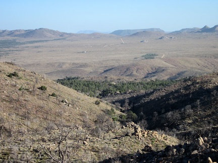 I find myself on a open area of the New York Mountains from which my eyes can follow Black Canyon Road across Round Valley
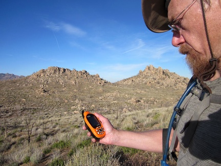 I check the GPS and decide to head for the slot between those two hills, then turn slightly to the left
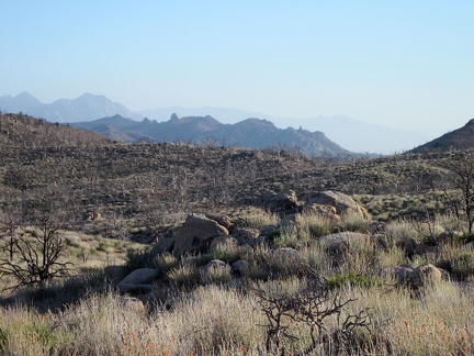 From here, I can see all the way to the Providence Mountains if I zoom in hard enough
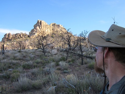 After another GPS check, I see I need to climb over this little hill ahead, to the left of the pinnacles
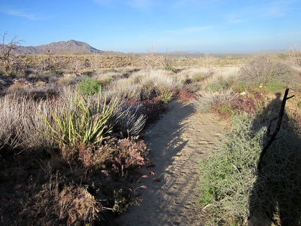 I'm almost back to Pinto Valley, but not the part where I want to be (Bathtub Spring)
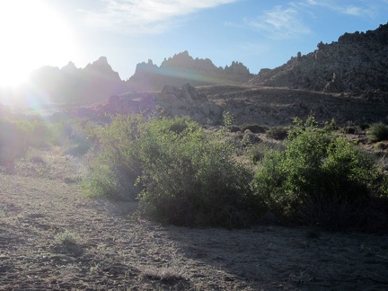 OK, Bathtub Spring should be over that way, beyond the hills just to my right
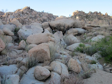 I start hiking over and around this pile of rocks, aiming at Bathtub Spring
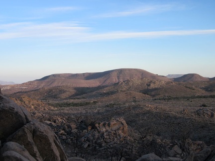 From this hill, I get a good look at the back (north) side of Pinto Mountain, part of which I hiked last year
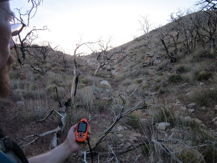 I'm between a few hills, and I should find myself overlooking the Bathtub Spring area once I reach the top
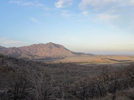 I get a decent view from these hills of Drum Peak as the sun goes down
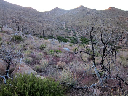 I start my final descent for the day, into the little valley where I should find Bathtub Spring
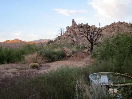 I arrive at Bathtub Spring at sunset, which is not the same Bathtub Spring where I hiked last week
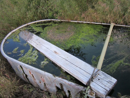 Despite some algae, the water quality here at Bathtub Spring is quite good this year, but my MSR water filter is having problems
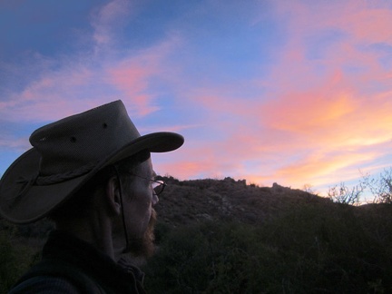 My camera and I catch some nice sunset colours on the way back to my tent; I arrive around 20h15
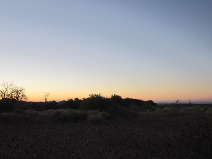 The wind wakes me up at 5h15, in time to see the sunrise, but it's too early for me, so I go back to sleep
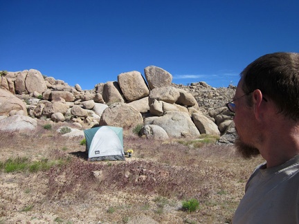 After a few more hours of sleep, I'm up and enjoying the surprisingly warm morning here in Pinto Valley
 After breakfast and coffee, my task is to walk the 3/4 mile over to Bathtub Spring and filter more drinking water
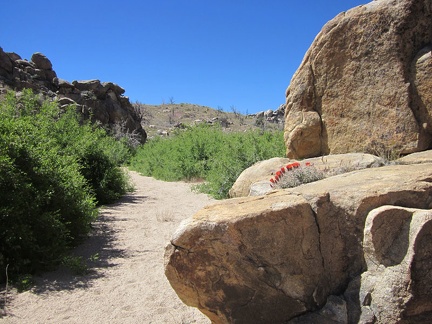 A claret cup cactus grows in a boulder pile near Bathtub Spring, Mid Hills, Mojave National Preserve
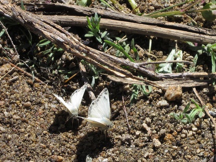 I arrive at Bathtub Spring and find quite a few of these little white butterflies playing in the moist area by the spring
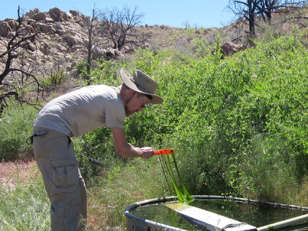 There's not much surface algae in the basin at Bathtub Spring, but there is a lot of heavy, slippery growth deeper in the water
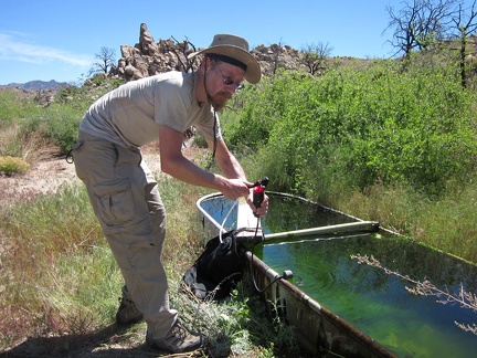 I get on with the business of filtering enough water for a couple of days from Bathtub Spring
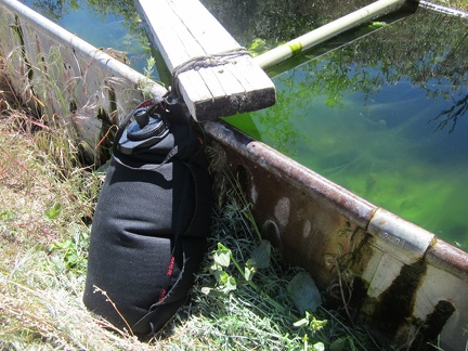 I persevere with my ailing MSR water filter and manage to fill my water bag with clean, tasty water from Bathtub Spring
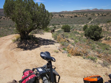 Time to go for a bicycle ride, without the added weight of all my camping gear!
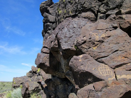 Back on a road, I ride for a while, then stash the bicycle in the brush and go for a hike to a rocky area
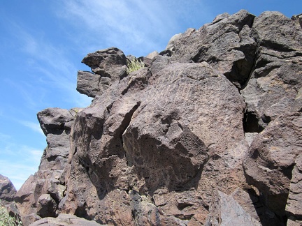 Graffiti
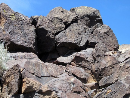 Patterns
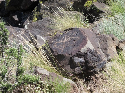 Butterfly
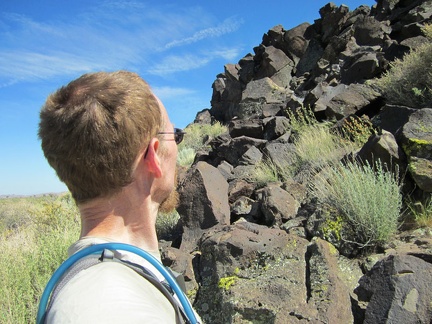 After a bit more hiking, I arrive at more rocks
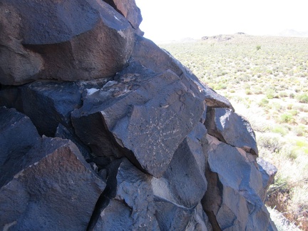 Flower
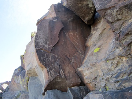 Squiggles
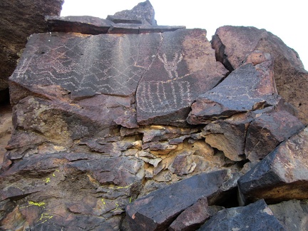 Bird
Bird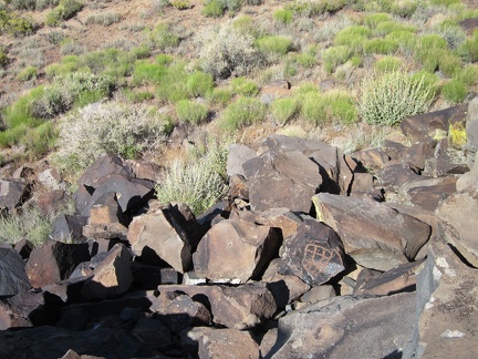 Tic-tac-toe
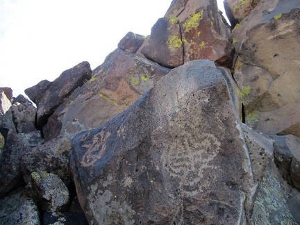 Bulb
Bulb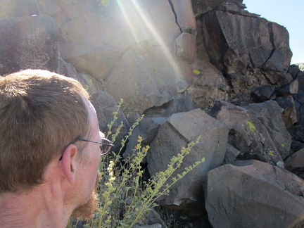 Sunshine
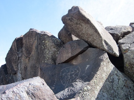 Smoke
Smoke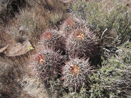 Cactus
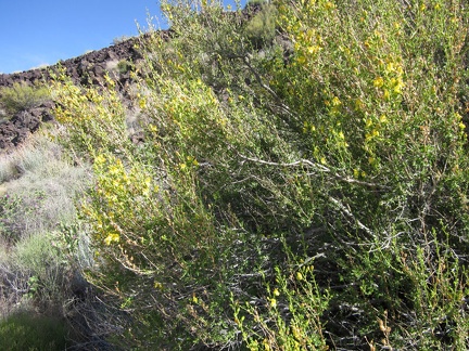 I pass some yellow-flowering bushes that I don't see often
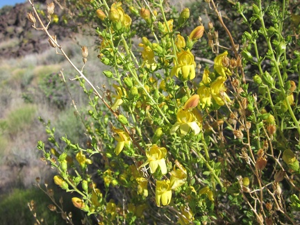 Close-up of Keckiella antirrhinoides (Chaparral Bush-beardtongue)
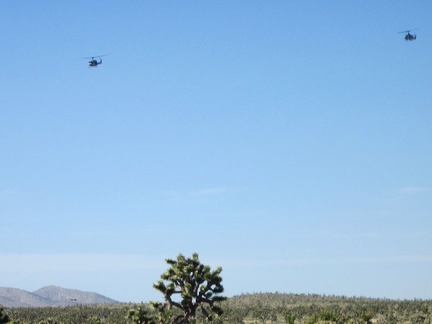 Helicopters
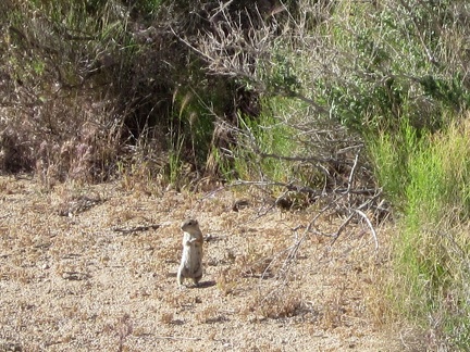 I've seen so many of these Mojave ground squirrels on this trip, but never manage to photograph them
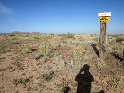 There's a lot of private property in some parts of Mojave National Preserve
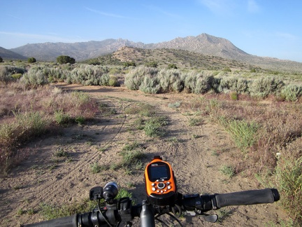 My favourite part of the ride back to camp is passing through Pinto Valley's sagebrush patches
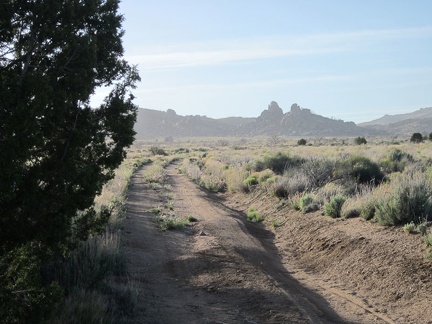 Strong winds have picked up during the afternoon, blowing in some end-of-day haze
 I take a look behind me and see that the haze is thicker than I thought
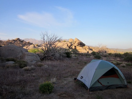 Sunset at Pinto Valley inevitably results in another tent-advertisement photo
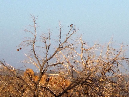 The jays are still hanging out in the trees near my campsite at sunset
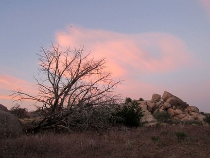 Sundown at Pinto Valley means it's time for my evening meal; I'm really hungry
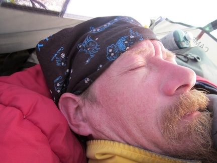 Sleep, I don't want it to end!
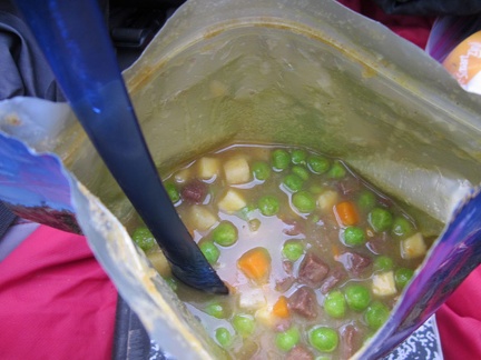 Breakfast this morning is a hot meal, not my usual routine of granola, dried fruit and nuts
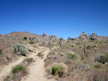 Today's New York Mountains hike starts by walking up the road toward Howe Spring
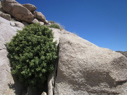 I pass a Scrub oak growing in a crevice in the rocks near Howe Spring
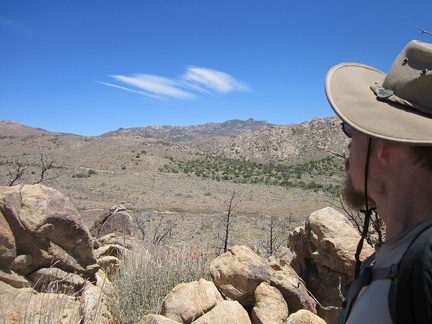 From here, I get a northeast view toward the highest peaks of the New York Mountains
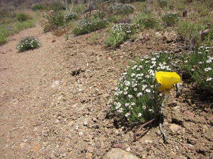 Near some patches of Fleabane (I think) is a bright yellow flower that I haven't seen before
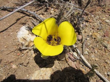 I stop to take a closer look at the Munz' mariposa lily
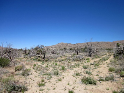 I arrive at a fork in the old roads in the New York Mountains foothills
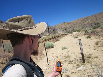 Wilderness markers delineate the end of the old road for cars and bicycles
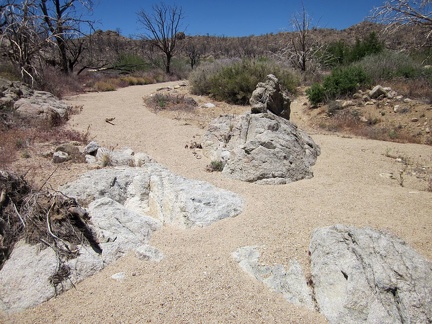 No human footprints are found in this sandy wash as I continue my hike up into the New York Mountains
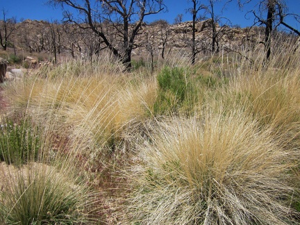 I pass a patch of bunch grasses in the New York Mountains foothills
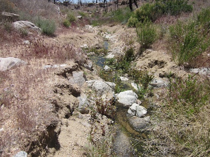 I continue walking up the wash and am amazed when I reach a small stream
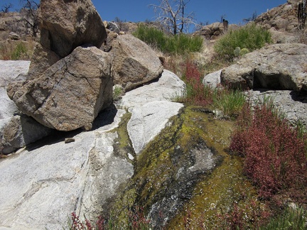 A thin cascade of water flows over the rocks in this unnamed New York Mountains stream
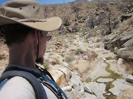 Further up this unnamed spring, the water flow thins out a little, but I'm still surprised to discover this
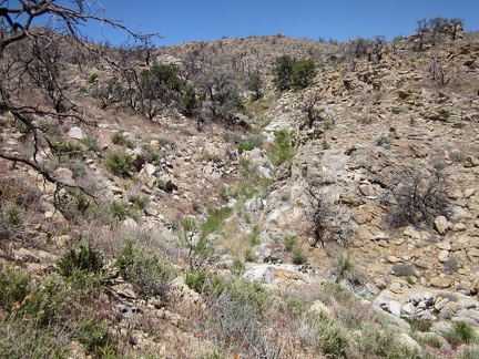 I decide to climb up out of the wash onto the ridge at my left for easier hiking
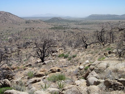 I take a look behind me to see that I'm quite a few feet above Pinto Valley now
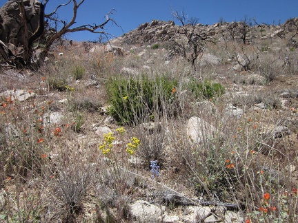 I pass through a minimalist desert garden as I hike up the rocky New York Mountains foothills
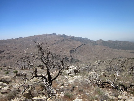 I'm just high enough now that I get perspective on most of my Butcher Knife Canyon hiking route two days ago
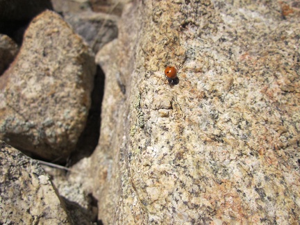 I've been noticing a few ladybugs on my way up the rocky terrain
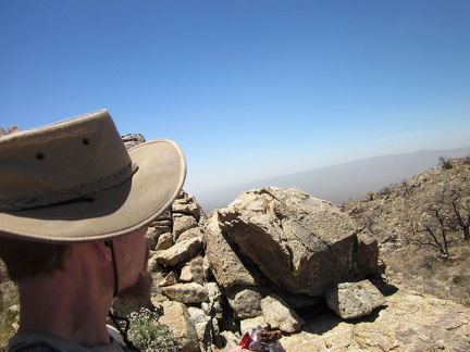 I take an energy bar (mmm, chocolate) break behind a boulder pile; it's really windy up here at 6015 feet elevation
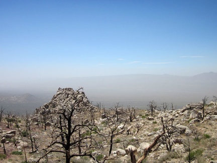 I'm high enough now to see all the way across the west end of Ivanpah Valley
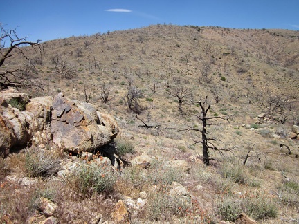 I hike up the rather barren hill toward the overlook above the Cliff Canyon Spring area
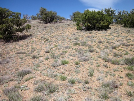 The top of the hill is really windswept, but a scattering of junipers seems to live just fine up here
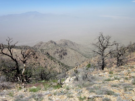 I reach Cliff Canyon Spring Peak #1 and take in the views from just under 6500 feet
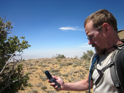 I ramble along the ridge above Cliff Canyon Spring a bit, and send a few text messages to let folks that all is well
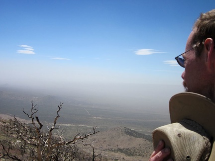 There's so much wind that I've pretty much given up trying to wear my hat; it keeps blowing off my head