6336/7119
Home /
After I get home next week, I'll get a detailed USGS map and try to map today's hike in the Indian Springs and Cane Spring area

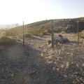
It looks like I missed Cane Spring after all, which is higher up on the lava flow. Also, I now see how I overshot my campsite on the way back to the tent... - It looks like I missed Cane Spring after all, which is higher up on the lava flow. Also, I now see how I overshot my campsite on the way back to the tent...
Continue to Day 3: Indian Springs to Devil's Playground via Jackass Canyon.
)
)
)
)
)