Home 7119

 Ready to hit the road and leave Shoshone
 On the way out of Shoshone toward Death Valley, northbound on Highway 127
 I begin the gentle westward climb up Highway 178 into Death Valley National Park
 My first climb of the day--Highway 178
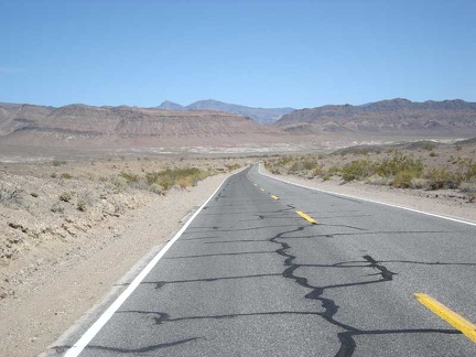 Looking back down Highway 178 to verify that I really am rising
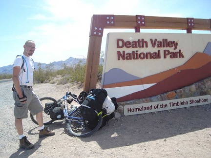 Death Valley National Park welcomes me
 I coast down a slight hill on Highway 178 into Greenwater Valley
 My Greenwater Valley Road veers off to the right
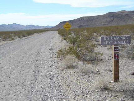 Greenwater Valley Road: watch out for wildlife, and no camping first two miles
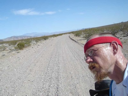 Heading very slowly up the slight grade of Greenwater Valley Road
 Further on, I look back down into the valley where I started
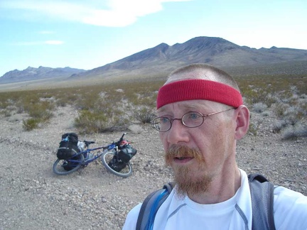 It's so lonely out here all by myself!
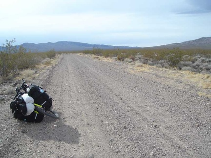 I've reached a plateau area on Greenwater Valley Road
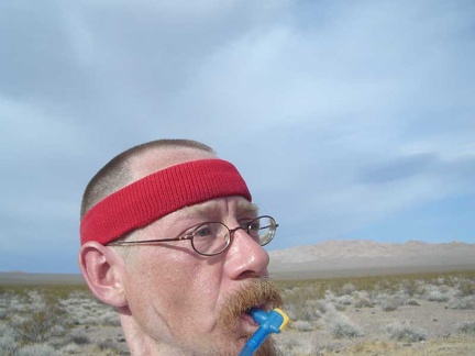 Taking another short break, an excuse to stop and stare at the scenery
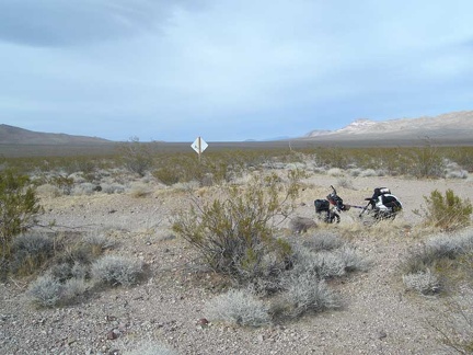 I've reached the junction of Deadman Pass Road, at 3000 feet elevation
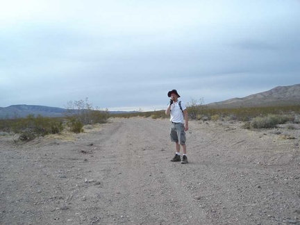 Me, standing in Greenwater Valley Road at the junction of Deadman Pass Road
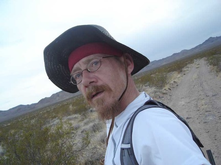 I'm here! I start up Gold Valley Road, which heads over the mountains
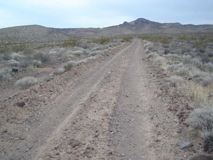 Gold Valley Road rises slowly across the wide valley
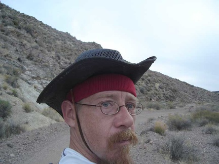 A surly look for the camera
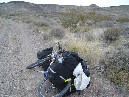 Gold Valley Road keeps rising
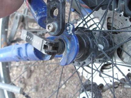 Suddenly, something on my bike is rubbing and making harsh, loud noises
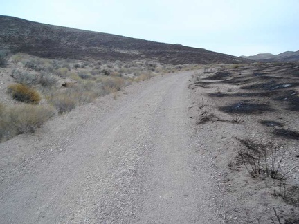 Back on my bike after repairs, Gold Valley Road rises into an area where there has been a brush fire
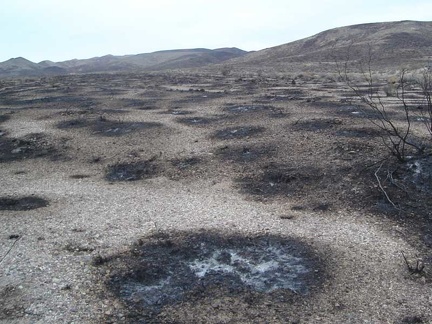 Close up of the burn from the Gold Valley Road fire is interesting
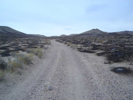 I continue onward, trying to beat the setting sun
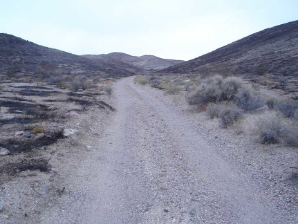 There are many pockets of unburned plants within the burned area
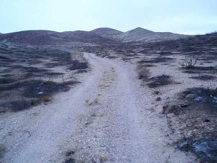 Still rising slowly, I know for sure now that I won't make it over the mountains before dark
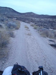 Rising out of the burned area at dusk, I look for somewhere decent to set up camp for the night
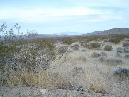 Near the bottom of Gold Valley Road, looking north up Greenwater Valley
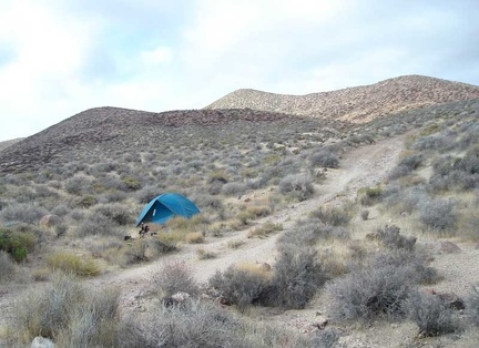 It's a bit cloudy this morning up on Gold Valley Road
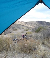 Nice view back down toward Greenwater Valley from the tent
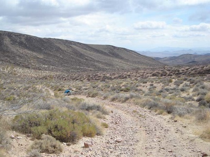 I go for a short walk up to the nearby summit of Gold Valley Road and look back down at the tent
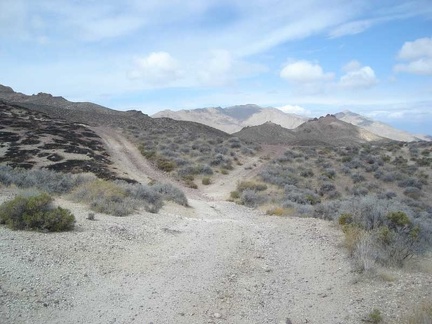 The fork at the summit of Gold Valley Road
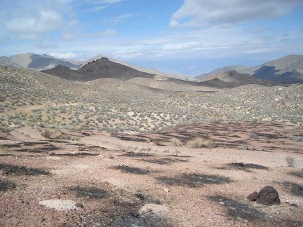 After the right fork, Gold Valley Road winds across the plateau, then drops down into Gold Valley
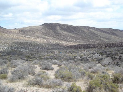 A little higher up on Gold Valley Road
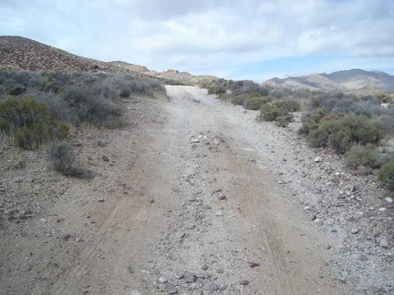 Gold Valley Road gets a bit steep as it rises to the top
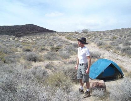 Time to break camp on Gold Valley Road and begin the long ride down to Furnace Creek Campground
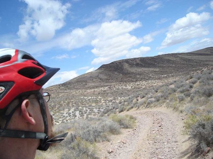 Leaving my Gold Valley Road campsite
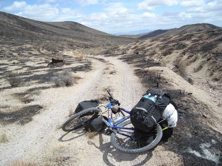 On the way back down Gold Valley Road, I pass through the burned area again
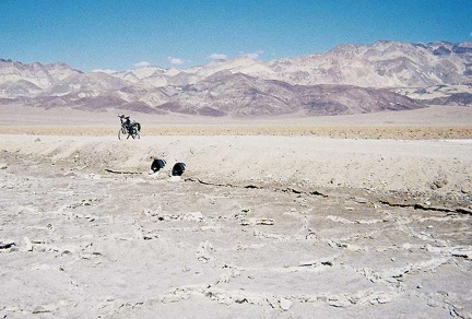 After walking back to the trailhead, I go for a short ride down to the salt flats along West Side Road
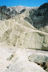 Hikers walking down below in Golden Canyon
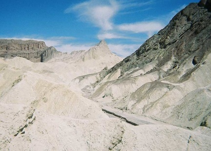 Climbing these weird hills of earth is fun
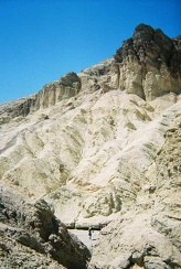 Golden Canyon does turn out to be very scenic
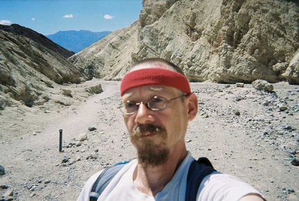 Starting my hike up Golden Canyon
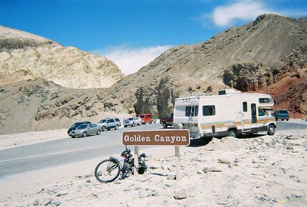 I stop at the parking lot for the Golden Canyon trail
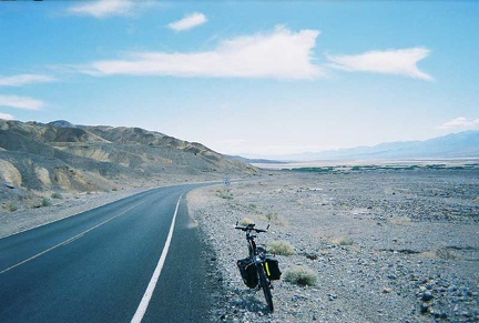 Riding down the road toward Badwater
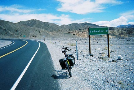 A little further sits the sign for Badwater Road
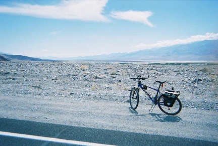 I've risen out of Death Valley just enough to have a view of the Badwater Basin ahead
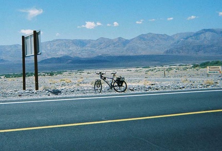 Near the "next services" sign is another which indicates the road to the Timbisha Shoshone homeland area
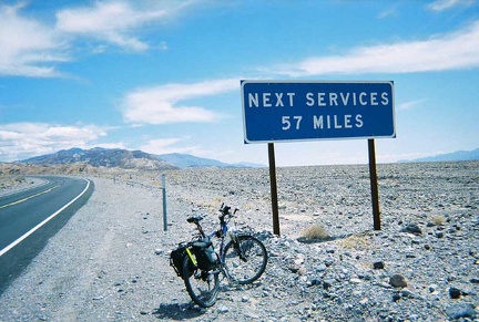 On my way out of the Furnace Creek tourist area toward Badwater Road
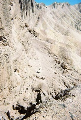 Next to Red Cathedral
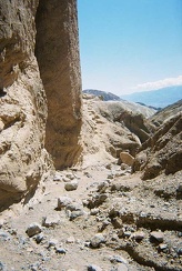 The end?
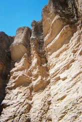 Close-up of Red Cathedral
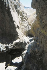 The trail passes through some narrows
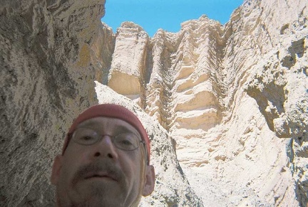 Red Cathedral
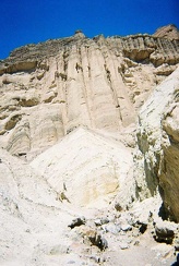 The trail looks like it will end soon
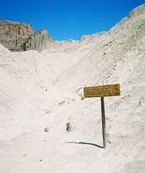 I arrive at a sign
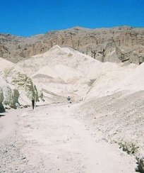 I climb back down to the trail in Golden Canyon
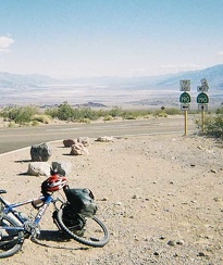 Hurray, I've made it to Hell's Gate at 2000 ft and look back down into Death Valley
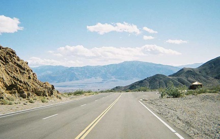 I walk up Daylight Pass Road a bit to get a view of the Hell's Gate entrance to Death Valley National Park
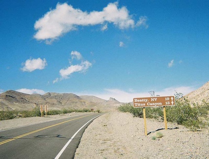 I begin the trudge from Hell's Gate up Daylight Pass Road
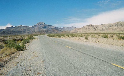 Getting closer to Hell's Gate (where Beatty Cutoff ends at Daylight Pass Road)
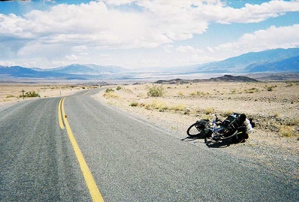 I look back down behind me again to Death Valley
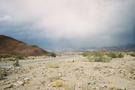 I'm getting a few raindrops from the clouds passing over the mountains ahead
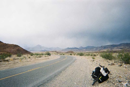 The rain clouds are moving around quickly
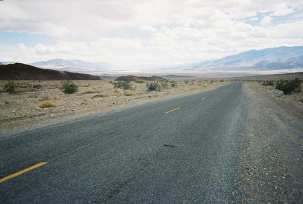 Looking back down to Death Valley from around 1000 feet elevation, near Keane Wonder Mine
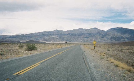 A sharp turn in the Beatty Cutoff road on the way up
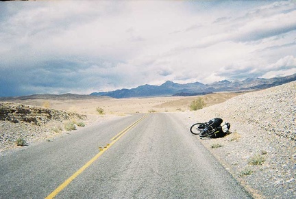 A few dips in the road create very brief downhills on the way up Beatty Cutoff
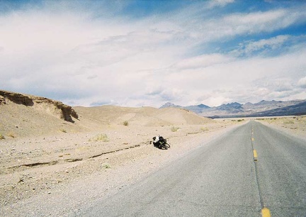 Starting up the Beatty Cutoff, the gradual slope of the road makes it look flat
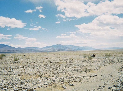 A couple of motorcycles speed by
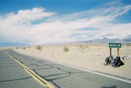 I'm here at the beginning of the Beatty Cutoff
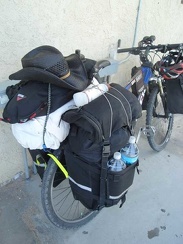
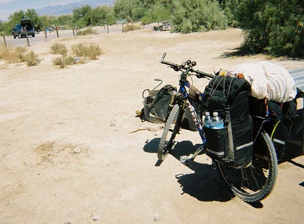 The 10-ton bike is ready to leave Furnace Creek
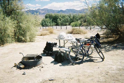 I pack my Furnace Creek camp site into the saddlebags of the 10-ton bike
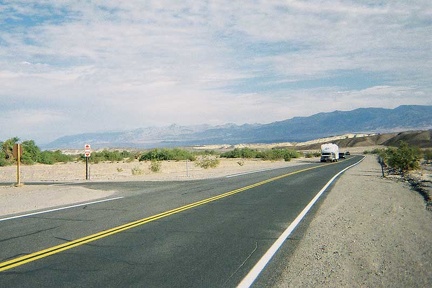 Leaving Furnace Creek campground and heading north on Highway 190
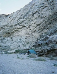 Just before the end of Monarch Canyon Road
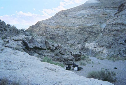 Home for the night is Monarch Canyon
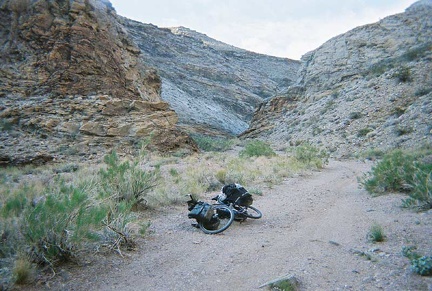 Riding down Monarch Canyon Road in search of a camp site for a night or two
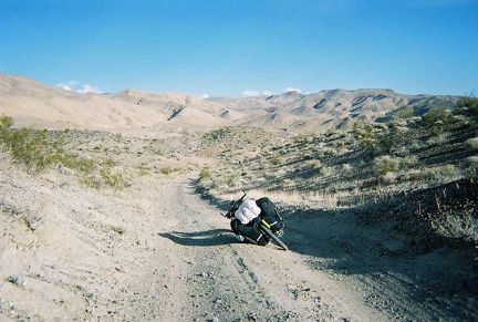 The final two miles or so of today's ride are downhill
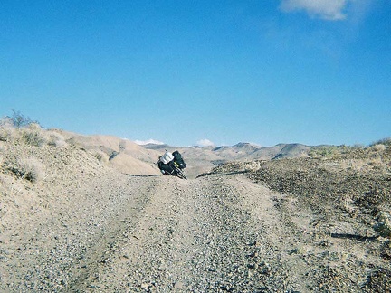 I'm so relieved to reach "the crest" on Chloride Cliff Road
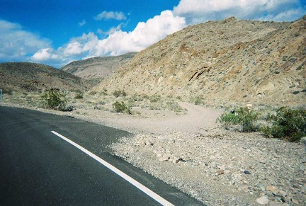 Ah! There it is, the gravel road toward Monarch Canyon (Chloride Cliff Road)
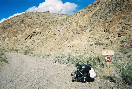 Signage at the entrance of the road toward Monarch Canyon (Chloride Cliff Road)
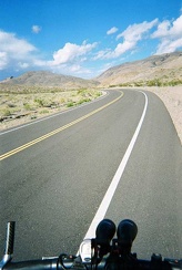 I know I'm very close now to the road toward Monarch Canyon (Chloride Cliff Road)
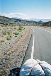 Higher yet above Hell's Gate, I look back behind me again as I approach 3000-feet elevation
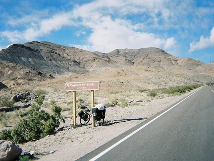 Sign for Corkscrew Peak, a popular climbing destination
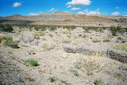 An old rock wall along Daylight Pass Road
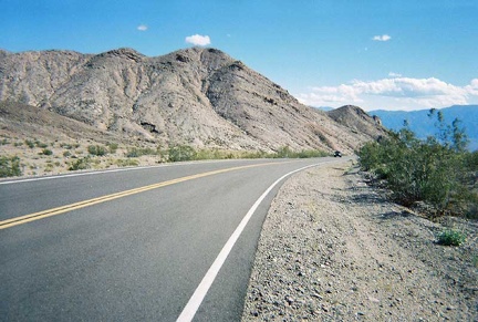 A bit above Hell's Gate, I turn back to see how much I've climbed since my rest stop there
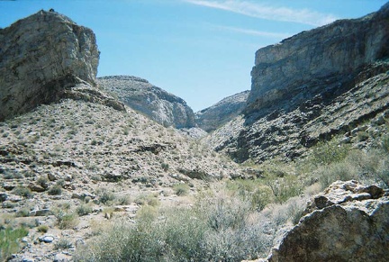 A side canyon just around the corner from my camp site in Monarch Canyon
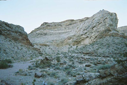 Though concealed in this view, the tent sits behind a small rocky outcrop in the centre of this photo in Monarch Canyon
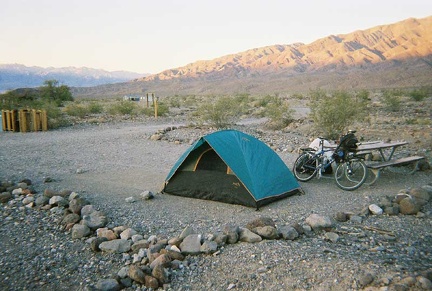 The tent is now set up at Emigrant Campground and the ten-ton bike relieved of its load
 Huff and puff, I finally make it to the Emigrant Campground; my world is slanted here on the fan
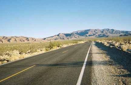 I continue climbing Highway 190, looking for signs of Emigrant Campground somewhere on the fan
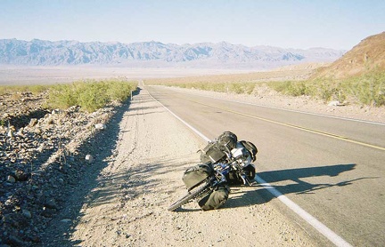 Looking back down toward Stovepipe Wells on the slow climb toward Emigrant Camp
 Heading up Highway 190 toward Emigrant Campground from Stovepipe Wells
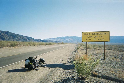 I leave the heat of Stovepipe Wells and head up Highway 190 toward Emigrant Campground
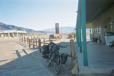 The ten-ton bike takes a rest at the Stovepipe Wells general store
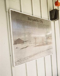 A plaque on the side of the Stovepipe Wells general store
 Arriving at the town of Stovepipe Wells at 100 feet below sea level
 Along 190 crossing the floor of Death Valley
 After the descent down Daylight Pass Road, I cross Death Valley on Highway 190
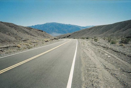 Daylight Pass Road passes through some low hills as it approaches the valley floor
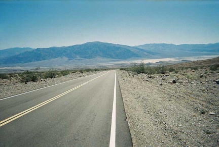 Getting closer to the bottom of Death Valley
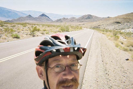 Daylight Pass Road approaches the Death Valley Buttes on its way down to the valley floor
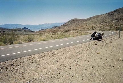 Further down Daylight Pass Road, heading toward Death Valley
 Back on pavement
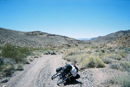 I've made it up over the hump on Chloride Cliff Road on the way out of Monarch Canyon
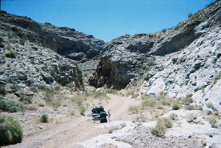 On the road out of beautiful Monarch Canyon
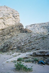 One last glance at the campsite before dismantling it and leaving Monarch Canyon
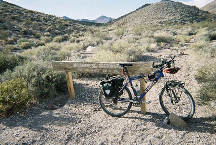 I lock my bike to a wilderness sign along Chloride Cliff Road and go for a short walk toward the old Keane Spring
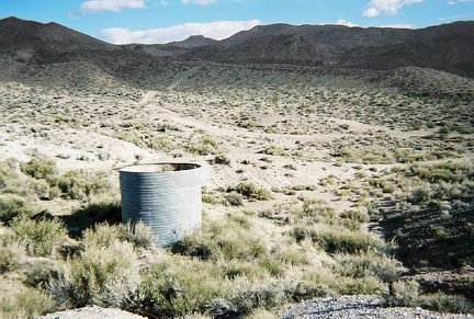 Back down near Monarch Canyon, an old water tank sits near Chloride Cliff Road
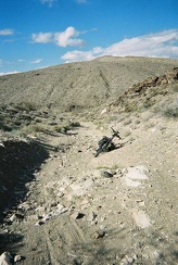 Further down Chloride Cliff Road on the way back to Monarch Canyon
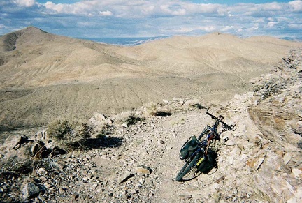 On my way back down Chloride Cliff Road
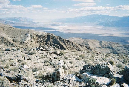 Up at the summit of the hill that I just walked up, with Death Valley about 4500 feet down below
 Me, up at the summit of the big hill I just walked up
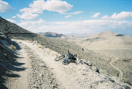 Near the top of this set of switchbacks on Chloride Cliff Road
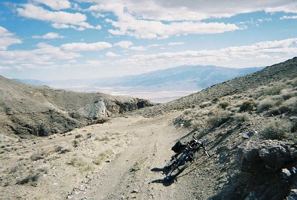 I park the bike and go for a walk up the big hill to my right to take in the views of Death Valley below
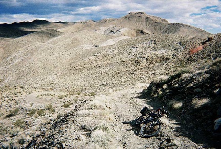 Higher up after more switchbacks on Chloride Cliff Road
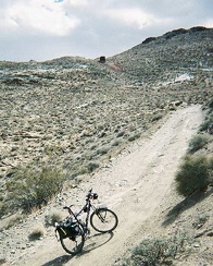 An off-camber section of Chloride Cliff Road on the way up
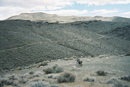 Switchbacks on the way up Chloride Cliff Road
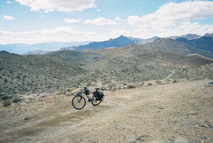 Looking back down toward Monarch Canyon to see how much I've risen
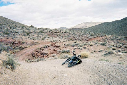 Interesting patch of reddish soil on the way up Chloride Cliff Road away from Monarch Canyon
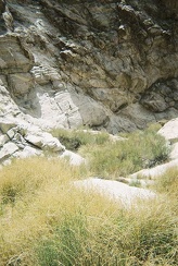 Once beyond the bushwhacking zone, I note that some of the brush looks greener than the rest
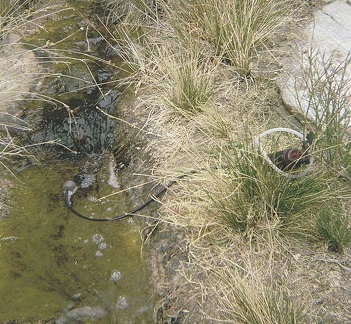 The stream from Monarch Spring should provide fairly decent drinking water once filtered
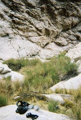 Having now seen the entire stream from Monarch Spring, I start walking back and stop at the best spot that I saw for pumping water
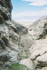 The end of upper Monarch Canyon overlooks Death Valley below
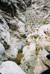 Looking down the 100-foot drop-off at the end of the Monarch Canyon
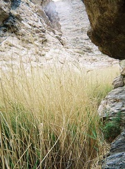 I climb the rock wall a wee bit as I try to squeeze past and above the reeds
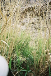 Bushwhacking my way through more reeds
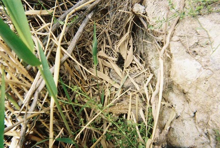 You can't see it here, but there's a thin layer of water on the ground under all the grass
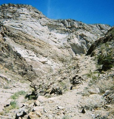 At the bottom of the the drop-off in Monarch Canyon, I look back up the trail that I came down
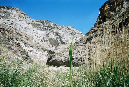 Coming out of the reeds at Monarch Spring for a moment to look back up-canyon
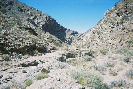 A little further down Monarch Canyon
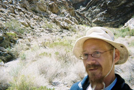 Me, trying to figure out how to get through or around the thick brush that engulfs Monarch Spring
 Descending Monarch Canyon beyond the Indian Mine site
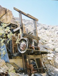 Close-up of what remains at the old Indian Mine site
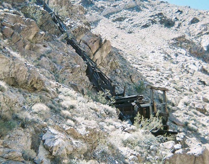 I pass the old Indian Mine site on the way down Monarch Canyon017-indian-mine
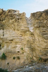 Interesting drainage erosion in Monarch Canyon just below the first drop-off
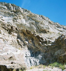 Standing at the bottom of the first drop-off in Monarch Canyon
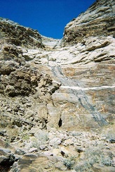 Another view of drainage and rock layers in Monarch Canyon
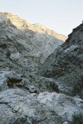 Looking down Monarch Canyon from the drop-off at the end of the road by my campsite
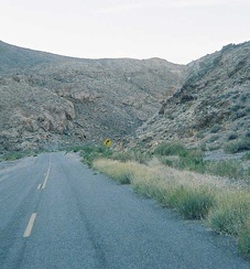 I enjoy the scenery all the way back down to my camp site at Emigrant Campground
 Back on paved Wildrose Road again, it's a blast riding back down through the canyon.
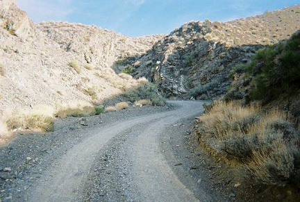 Beyond Aguereberry cabin, the road to Aguereberry Point crosses the plateau and snakes up through the mountains
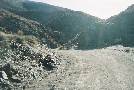 I start coasting back down, and enjoy winding through the high-mountain canyons
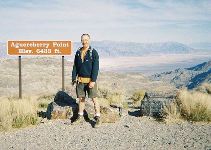 Me, contented tourist, at Aguereberry Point
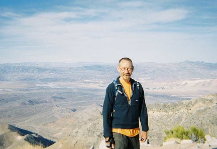 A different view across Death Valley from Aguereberry Point
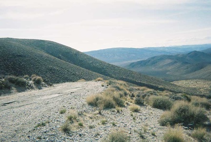 Down the back side of Aguereberry Point, looking toward Harrisburg Flats, from where I just came
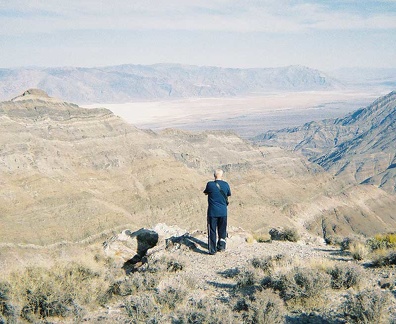 I finally reach the Aguereberry Point summit, and meet a family of French tourists there
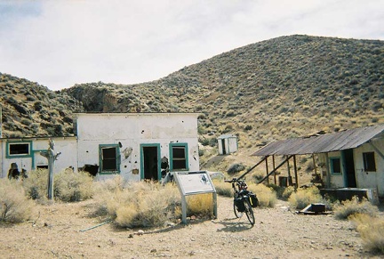 The Aguereberry cabin and outbuildings are in fairly good condition
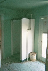 A shower stall in the Aguereberry cabin
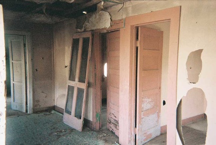 Five-panel wooden doors inside the Aguereberry cabin
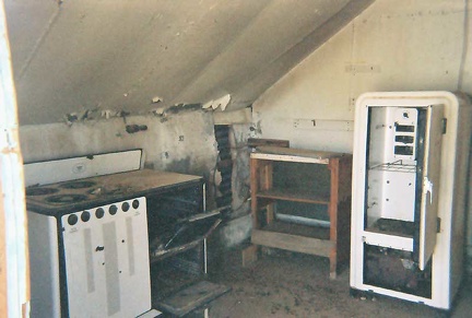 The kitchen in the Aguereberry cabin
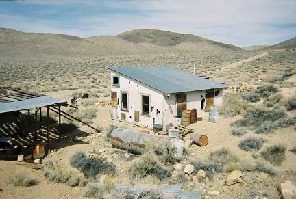 The rear of the Aguereberry cabin
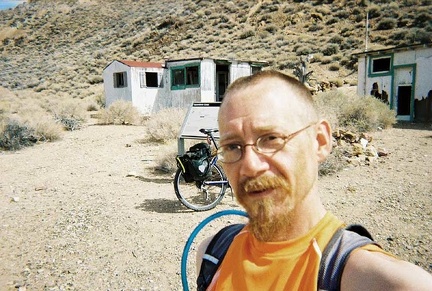 I am happy when I discover the old Aguereberry cabin site two miles up the road.
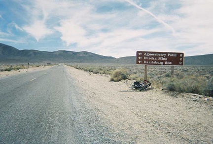 After rising out of Wildrose Canyon, Wildrose Road crosses a plateau called Harrisburg Flats
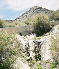 I stop to investigate a trickle of water that I notice about five miles up Wildrose Road
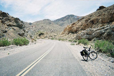 More rocky stuff along Wildrose Road
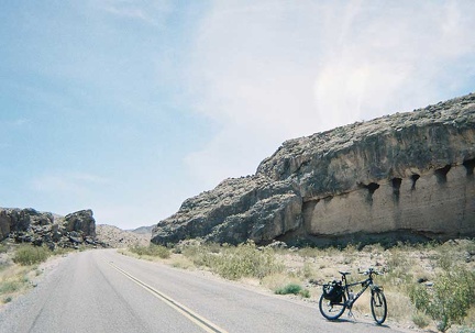 More rock textures along Wildrose Road
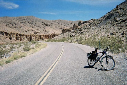 I choose to ride up Wildrose Road today instead of heading up Highway 190 to Towne's Pass
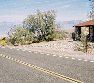 An old, unused stone park office sits across the road from the Emigrant rest stop
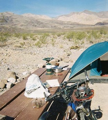 Breakfast at Emigrant Campground
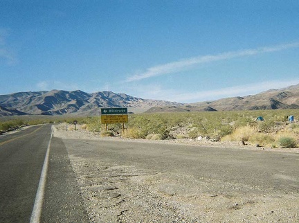 Emigrant Campground as seen from the public washrooms down the road at the rest stop
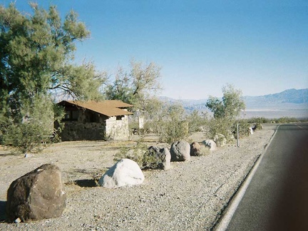 The old stone washrooms at the rest stop near Emigrant Campground
 The cold I caught last night is pretty bad, but I'm up by 8h making coffee anyway; today I pack up and leave Devil's Playground
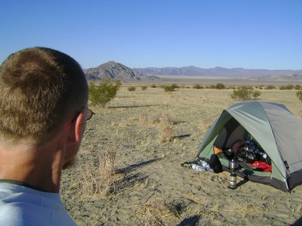 Enjoying the views down to Cowhole Moutain and Soda Lake, I ponder camping another night here at Devil's Playground
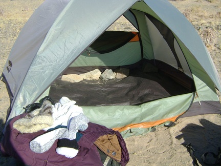 The last items to remove are the large rocks that I placed inside the tent last night to keep it from blowing over again
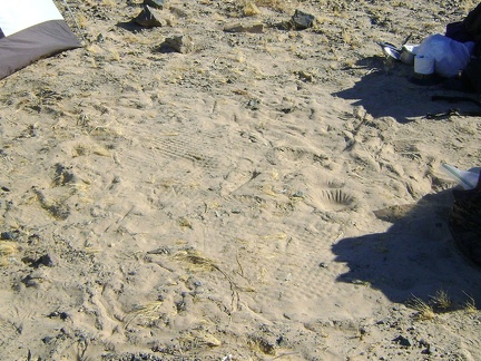 I like the patterns that my sleeping pad has imprinted on the sand through the floor of my tent
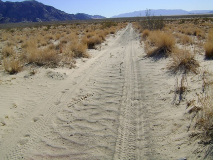 The bike all packed up, I begin the 5.5-mile trek down Old Kelso Road along the east side of Devil's Playground
 Old Kelso Road occasionally crosses dry washes where it is suddenly rocky instead of sandy
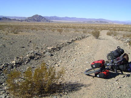 I pause on Old Kelso Road to admire the views back toward Cowhole Mountain, Soda Lake, and my campsite of the last two nights
 I like this slightly downhill part of Old Kelso Road that heads toward the Old Dad Mountain block
 Long and straight, Old Kelso Road heads toward the power lines that I can see three miles ahead, where I'll enter Jackass Canyon
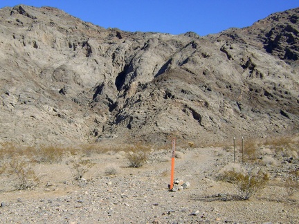 I stare intently at the Old Dad Mountain block as I pass by, wishing I had enough time and water to do a day hike here
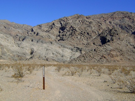 A bit further down Old Kelso Road I notice another Wilderness marker that people drive around and ignore
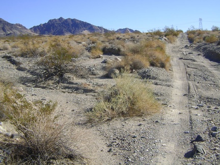 Old Kelso Road has proven to be more rideable than I expected, but this final part before the power lines is a bit rough
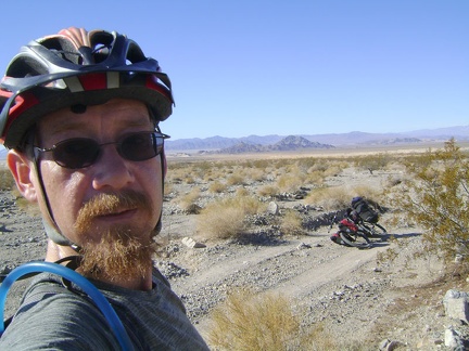 Near the end of the slow 5.5 miles on Old Kelso Road, I stop for an energy bar and take in a final glance at Devil's Playground
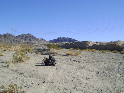 Tire tracks go everywhere at the end of Old Kelso Road where it meets Jackass Canyon at the power lines
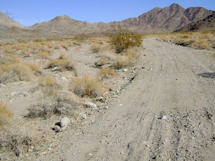 Entering Jackass Canyon from Devil's Playground, Mojave National Preserve
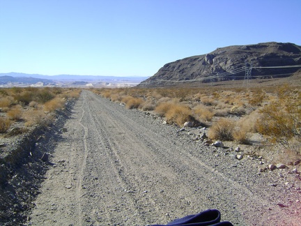 Nice wiggly tire track behind me as I ride slowly up Jackass Canyon Road from Devil's Playground
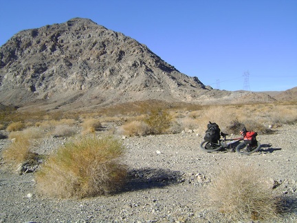 A final glimpse of the Old Dad Mountain block as I get on with the trudge up Jackass Canyon
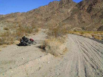 I try riding the worn-out paved track along the wash to avoid the deep sand and gravel in Jackass Canyon
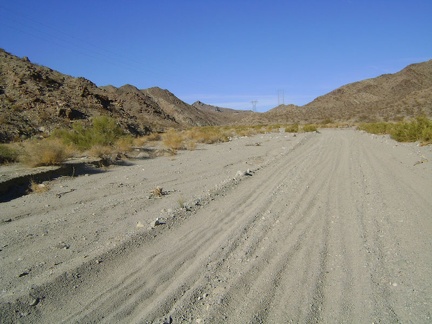 The faded paved track to the left is rather washed-out and grown-in, so I abandon it and return to the gravel of Jackass Canyon
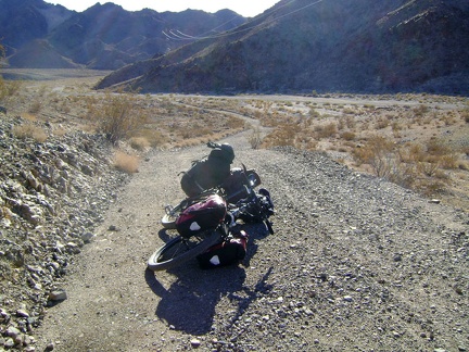 Another old residual-pavement road rises out of Jackass Canyon, this time on the south side of the wash
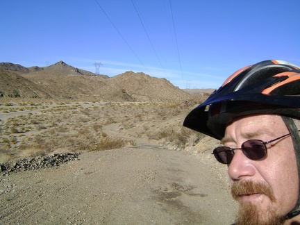 At the top of my little hill, I now get to ride back down the old paved road and return to the gravel of Jackass Canyon
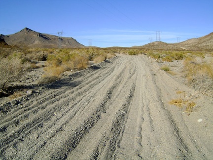 Back in the wash of Jackass Canyon: more sand and gravel ahead!
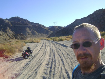 I take a lot of short 30-second breaks to stop and enjoy the scenery in Jackass Canyon
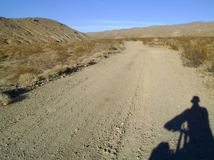 After another half hour, the gravel is finally thinning out and it looks like I can try getting on the bike and riding again
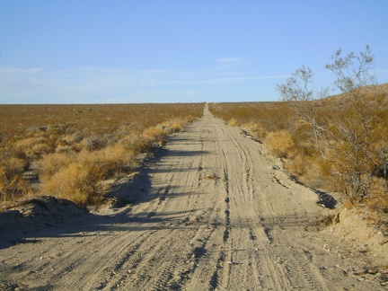 Approaching the top of Jackass Canyon, finally!
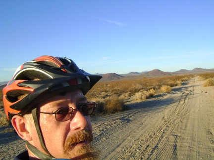 Up out of Jackass Canyon for good, I'm now on the plateau, heading toward Mojave National Preserve's famous cinder cones
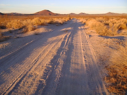 Hey, sunset is spinning its wheels faster than I'm spinning mine, and I haven't quite reached Kelbaker Road yet
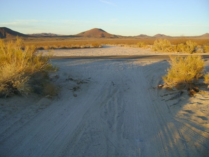 Here it is: Kelbaker Road, Mojave National Preserve, approximately 3100 feet elevation; pavement again, I'm so excited
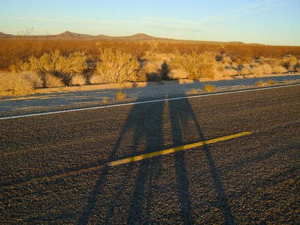 Riding up Kelbaker Road in the sunset is pleasant; of course, it helps that there is no traffic, which is often the case
 My cheap digital camera picks up some of the glowing pinks and blues of this Mojave National Preserve sunset
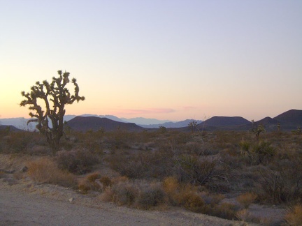 I'm enjoying the fleeting sunset along Kelbaker Road as I slowly approach the summit, looking back to the cinder cones
 Darkness sets in as I arrive at the summit of Kelbaker Road at 3700 feet, ready for the 12-mile descent to Kelso in the dark
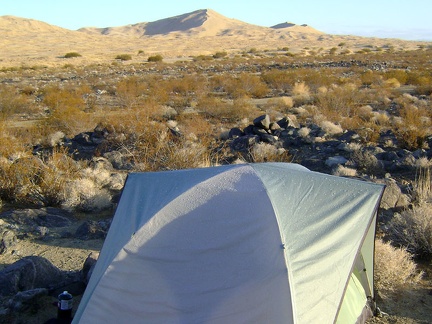 Sunny skies this morning, but raindrops from last night's thunderstorm glisten on the roof of my tent
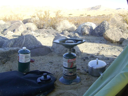 I make my last two cups of strong coffee of the trip and enjoy the views while I procrastinate the task of breaking camp
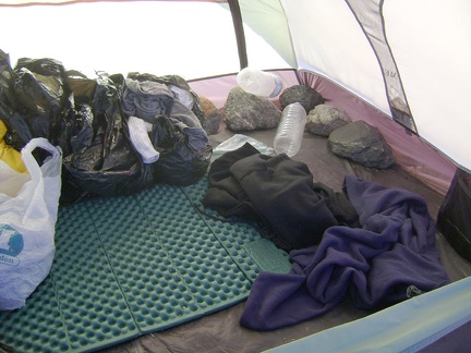 As I pack the tent's contents into my saddlebags, I remove the big rocks I placed inside the tent to keep it from blowing away
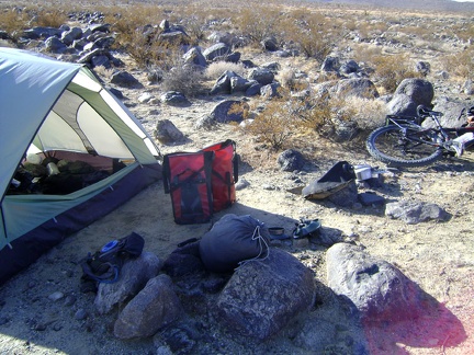 It's that everything-out-of-the-tent moment again; time to leave the Kelso Dunes area!
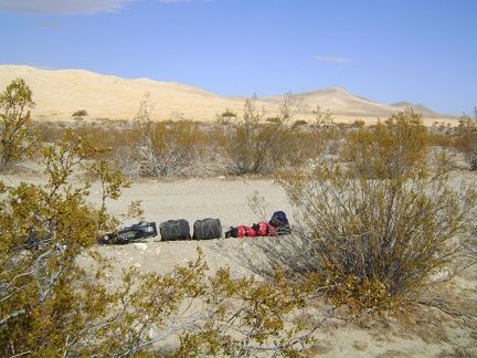 After packing up, I carry my saddlebags and bicycle down to the power-line road for final assembly
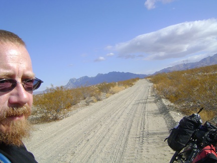 The 10-ton bike reassembled, I'm ready to put my helmet on and start riding up the Kelso Dunes power-line road
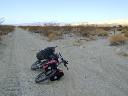 Off the Kelso Dunes power-line road, I notice vehicle tracks going past a Wilderness boundary marker