Home 7119

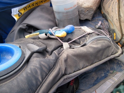 Last night's winds surreptitiously blew a fine layer of sand into the tent which dusted everything laying flat near the door
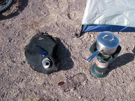 Outside in the tepid desert morning sun, I look at a still-life of those things that matter most right now
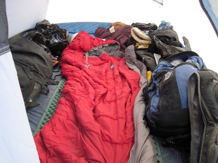 The disorder inside my tent will be packed up shortly; perhaps I'll drink an extra cup of coffee as a way to procrastinate
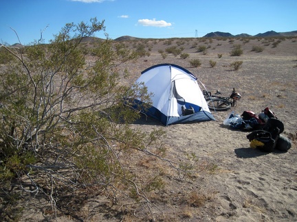 OK, enough procrastination after drinking extra coffee "Everything out of the tent!"
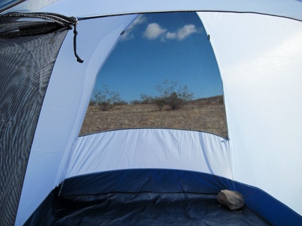 The last job upon emptying the tent is to remove the large rocks I placed inside, in case the wind got really strong
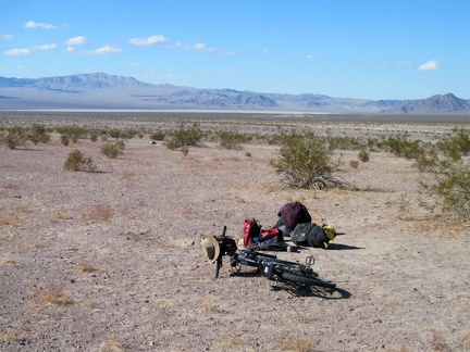 Everything has been packed into the saddlebags that will be attached to my bike, after I walk everything out to the road
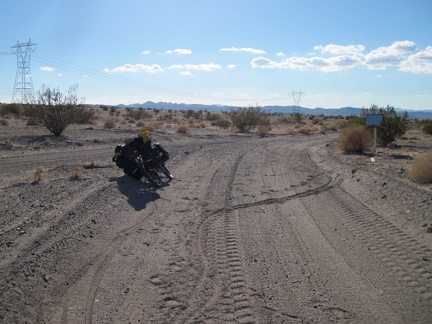 All packed up, I bicycle down the Bristol Mountains powerline road and reach the junction of the high road and the low road
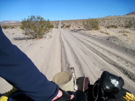 I look behind me as I push the 10-ton bike through the sand trap on the Bristol Mountains powerline road
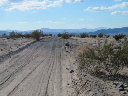 The sand accumulation comes to an end as the road rises up onto a firmer, more gravelly surface
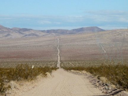 An hour later, past the bottom of the dip in the road, I look back at the Bristol Mountains powerline road
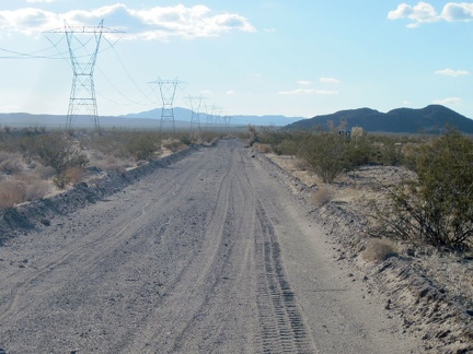 A little further ahead, I'll make a left turn under the powerlines and ride the final two miles of dirt road back to Ludlow
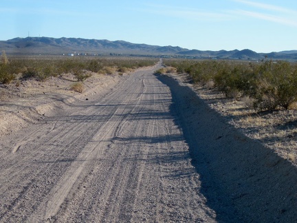 Approaching Ludlow again, the stop that I wish I didn't need to make today
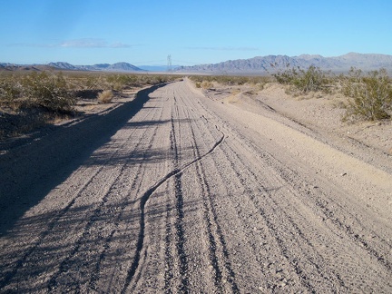 I ride up the subtle hill away from Broadwell Dry Lake, for my water stop at Ludlow, but I'll come back here around sunset
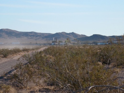 Ludlow, California, seen from Crucero Road
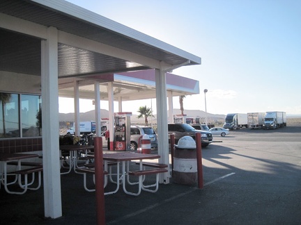 The 10-ton bike takes a rest behind the vacant outdoor seating (it's chilly today) at Ludlow's Dairy Queen gas station
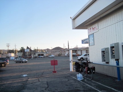 The Dairy Queen gas station doesn't have the large bottles of water that I want, so I visit Ludlow's other gas station
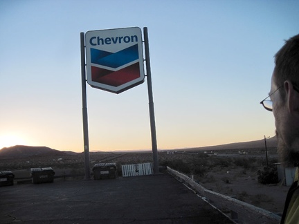 It's the Thanksgiving holiday week, with an endless stream of cars and trucks racing past Ludlow on the I-40 freeway
 The Cady Mountains pick up the chilly orange-purple sunset glow on the other side of the freeway from the Ludlow Chevron station
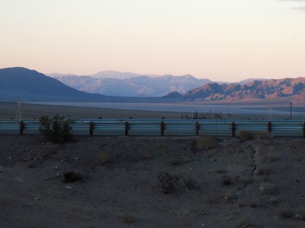 It's time for me to stop looking down toward Broadwell Dry Lake from the gas station parking lot and actually go there
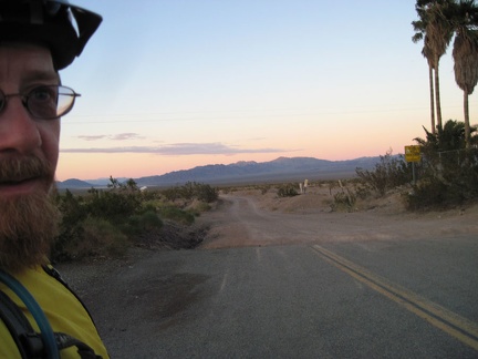 Here I am again, leaving the pavement of Ludlow on Crucero Road, just like I did two days ago
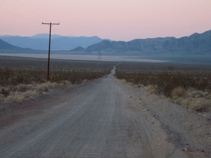 Direct sunlight down at Broadwell Dry Lake (here I come) is already gone for the day, blocked by the surrounding hills
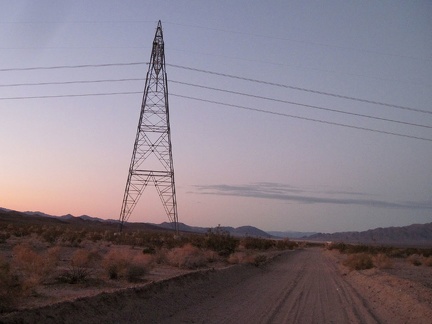 I cross the powerline road that leads off to the right to my Bristol Mountains campsite of the past two nights
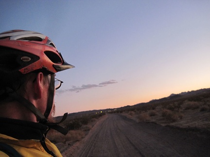 I take a look behind me at the "city lights" of Ludlow, now two miles away
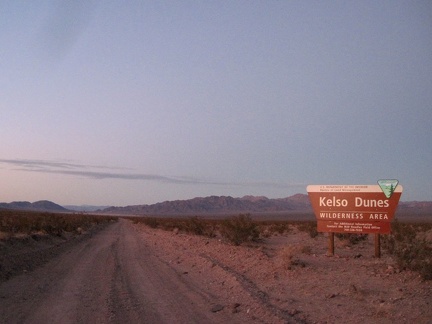 I pass the Kelso Dunes Wilderness sign at dusk, enjoying the views toward the Bristol Mountains, where I hiked yesterday
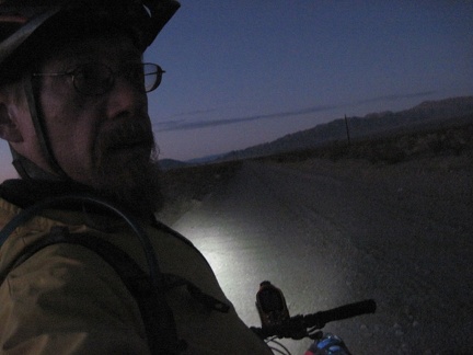 Darkness falls as I approach the southern tip Broadwell Dry Lake; it seems that the road is getting a bit better, not worse
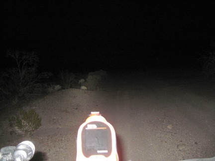 Crucero Road by the dry lake turns out to be firm-surfaced (but rough), so I happily ride the final 4 miles at a cool 7 mph
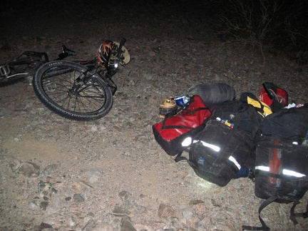 1/2 mile up the road to Old Dominion Mine, I start looking for a good campsite near another road that I also can't locate
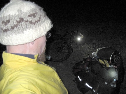 My flashlight and bicycle light headlight assist me in setting up camp in the dark valley; the almost-full moon hasn't risen yet
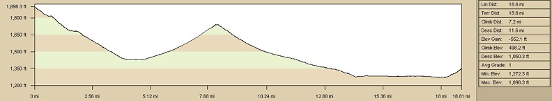 Elevation profile of bicycle route from Bristol Mountains to Broadwell Dry Lake campsite via Ludlow
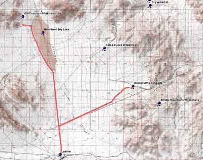 Bicycle route from Bristol Mountains to Broadwell Dry Lake campsite via Ludlow
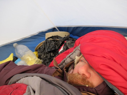 Ugh, I can't wake up; I need more sleep, but I'm excited about today's hike to the Broadwell Natural Arch
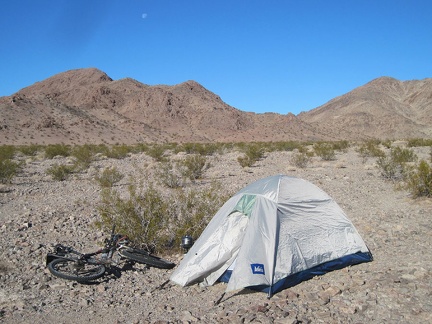 I drag myself out of my sleeping bag and step out into the cold sun to see where I am (I arrived here in the dark last night)
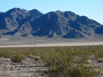 While heating water for coffee, I walk around to familiarize myself with my new surroundings
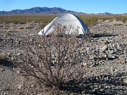 I notice a thorny pencil cholla cactus bush near my tent
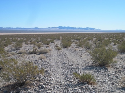 After a quick breakfast and coffee, I start hiking, anxious to locate the old road that I couldn't find last night in the dark
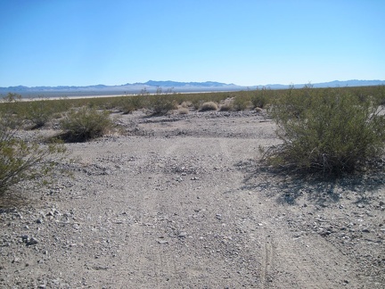 I continue hiking down the old road toward Broadwell Dry Lake and see some of my bicycle tracks from last night
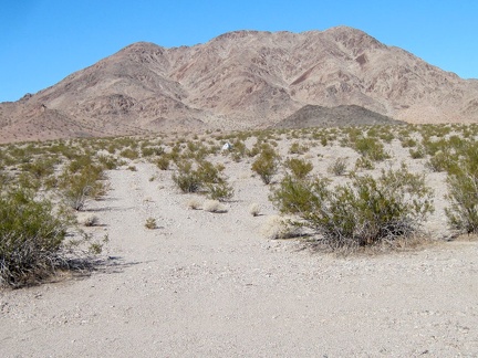 I turn back for a last look at my tent against a Cady Mountains backdrop before it disappears for the day
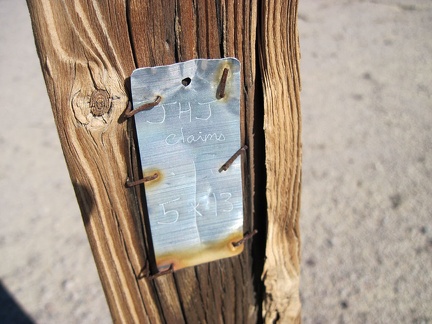 I notice a very weathered old fence post with a metal claim marker as I approach Broadwell Dry Lake
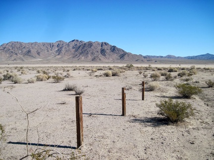 Several old fence posts here delineate the JHJ claim near Broadwell Dry Lake
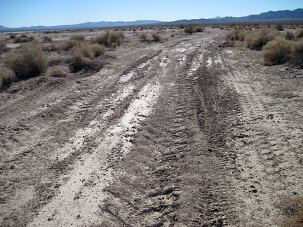 I hike across Crucero Road near Broadwell Dry Lake, surprised that it's rougher than I thought
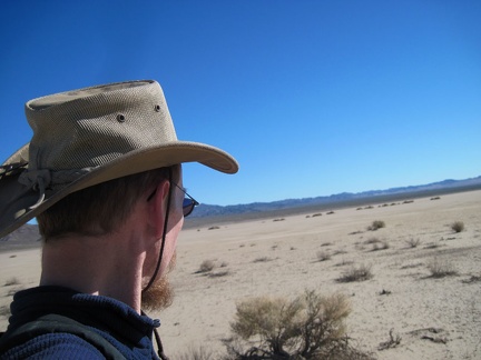 I arrive on the shores of Broadwell Dry Lake and begin the hike across the lake
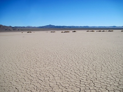 Beginning the walk across Broadwell Dry Lake, I suddenly remember the sensation of walking across a big and empty dry lake
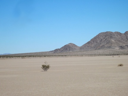 A lone creosote bush pops out of the ground at Broadwell Dry Lake
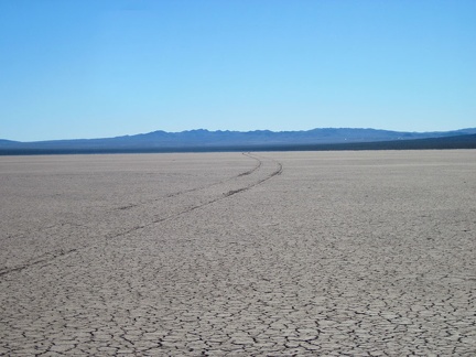 Someone drove across Broadwell Dry Lake a while ago when it was still a bit wet
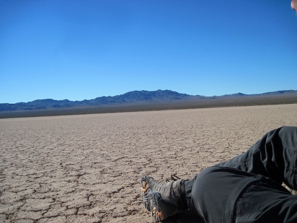 I sit down for a few minutes on the hard, crackled surface of Broadwell Dry Lake
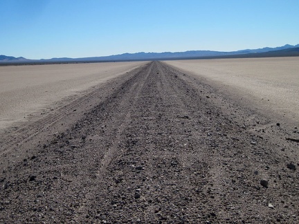 Running down the middle of Broadwell Dry Lake is the remains of the former Tonopah & Tidewater Railroad bed
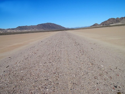 Looking north on the old T&T Railroad grade running down the middle of Broadwell Dry Lake
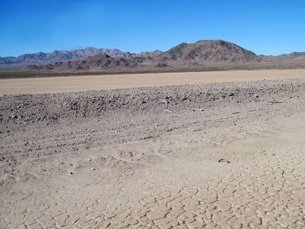 After 100 years, the old T&T railroad berm running across Broadwell Dry Lake is still raised a couple feet above the lake
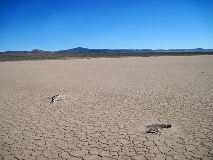 I continue my walk across Broadwell Dry Lake toward the Bristol Mountains
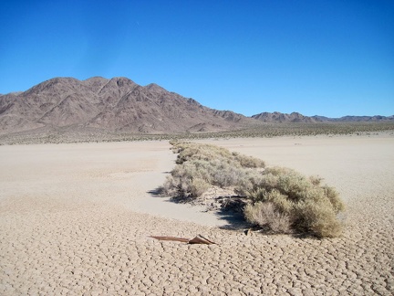 An anomalous row of bushes grows out into Broadwell Dry Lake near the eastern shore
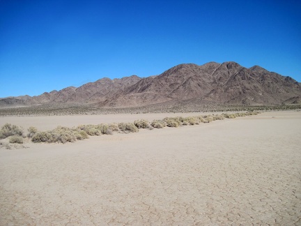 Hmmm... I think I'll call this row of brush "The Broadwell Dry Lake Pier"
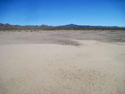 I reach the eastern shore of Broadwell Dry Lake and begin the hike up the fan toward the Bristol Mountains
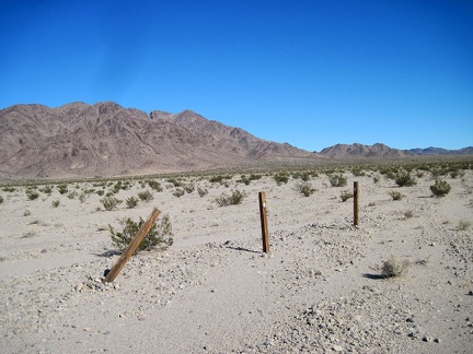 On the fan are a few fence posts, also from "JHJ claims," like the ones on the other side of Broadwell Dry Lake
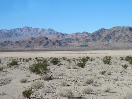 I take a look back at Broadwell Dry Lake and the Cady Mountains as I make my way up the fan
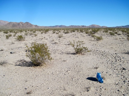 Until now, I hadn't encountered a stray balloon yet today
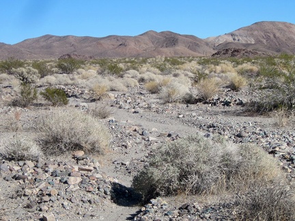 Like most alluvial fans, this one is a bit rocky, so hiking requires some attention to where one's foot goes with each step
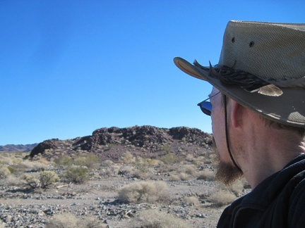 Approaching a rocky outcrop on the Bristol Mountains fan, I decide to check it out
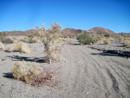 A little further up the fan, I join the wide wash that I'll follow into the Bristol Mountains
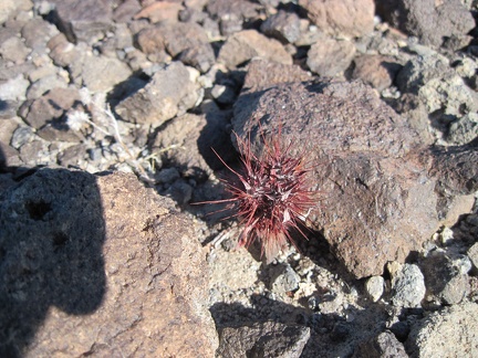 This little guy might be a young barrel cactus sprout
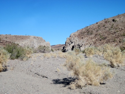 I come around a bend and a "gate" welcomes me back to the Bristol Mountains
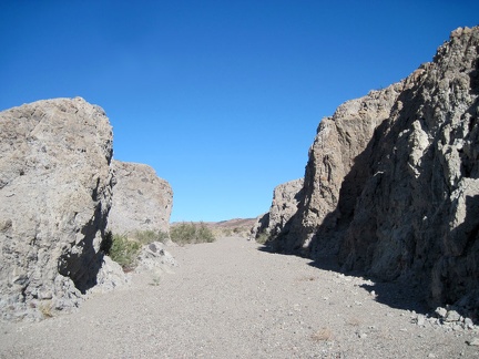 I pass through "the gate" and see a wider expanse beyond
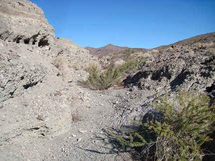 I decide to check out a narrow side wash that appears to run parallel to my route to the natural arch
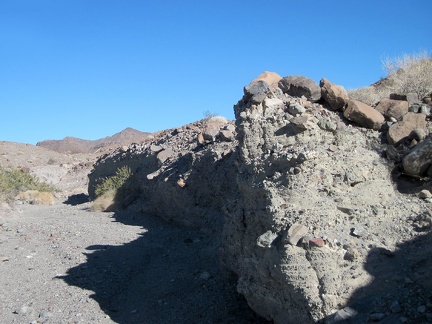 The erosion from flowing torrents of water in this little side wash is significant
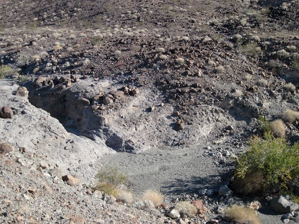 I climb up the little hill and look down to a small natural tank in the drainage, dry right now
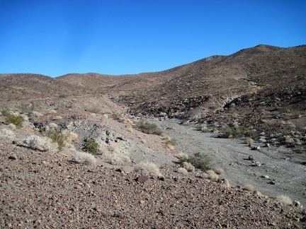 The dry stream that feeds the dry natural tank looks benign, despite the deep erosion that I just saw downstream
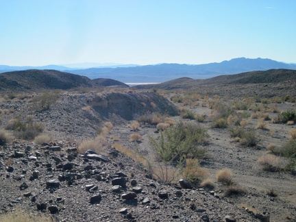 I pause to take in the views from this berm above Broadwell Natural Arch Wash, spared from erosion
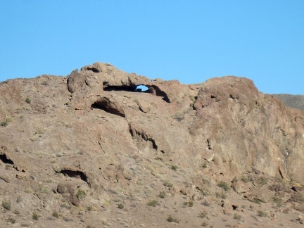 I zoom in from my perch on the rock outcrop for a better view of Broadwell Natural Arch
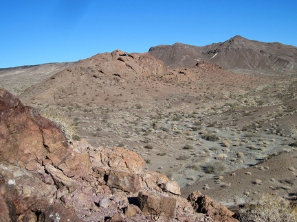 I turn around and realize that I'm looking at the Broadwell Natural Arch, so I climb a rocky outcrop to get a better view
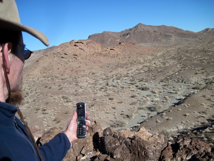 I have cell-phone reception here at Broadwell Natural Arch, so I check and send a few text messages
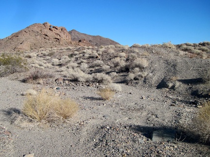 I climb down from the rock outcrop and walk up the wash to check out Broadwell Natural Arch up close
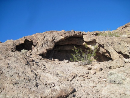 Inside this cavelet in the Broadwell Natural Arch formation is a ribbed ceiling
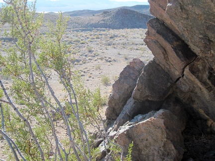 It's time to climb up the rocks and poke around the Broadwell Natural Arch formation
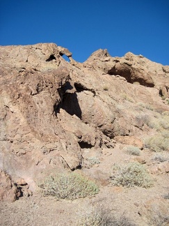 The Broadwell Natural Arch formation is full of eroded little caves in the rock
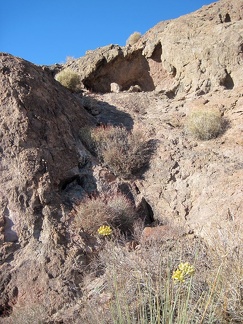 A few Rush milkweeds are flowering here right now (Asclepias subulata)
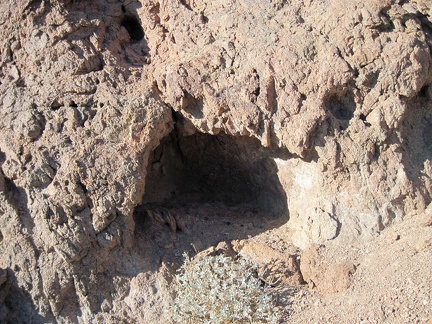 This cavelet in the Broadwell Natural Arch formation appears to be inhabited part-time
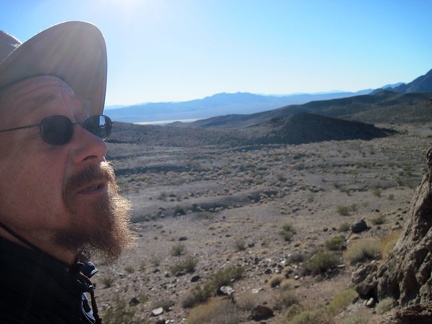 I've just noticed that there are two little natural arches up in the rock here, not just the one
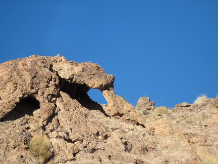 Broadwell Natural Arch North
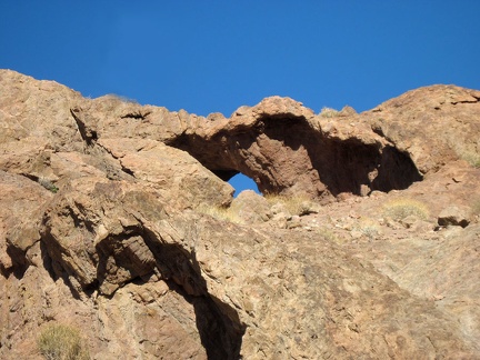 Broadwell Natural Arch South
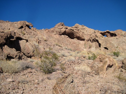 If I stand back far enough, I can see both the north and south natural arches at the same time
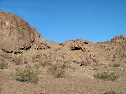 The Broadwell Natural Arch area is fun because of the mini-caves everywhere that invite exploration
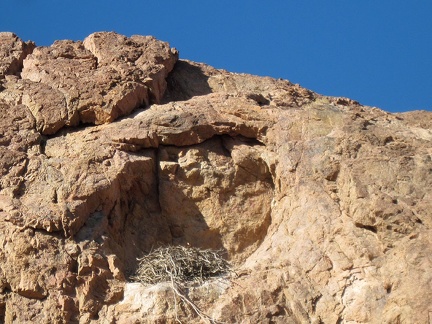 Close-up of the bird's nest high up in the rock wall in the Broadwell Natural Arch formation
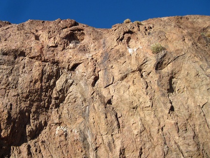 Birds use these two cavelets high up in the rock wall, and one of them is occupied by a nest
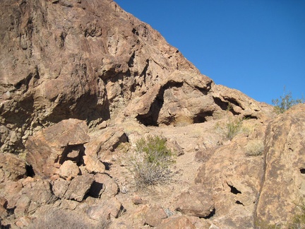 I scramble around, checking out a few more mini-caves, then decide it's time to check out and resume my hike
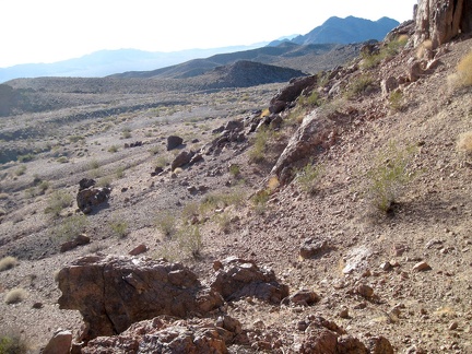 I climb back down and begin a clockwise loop around the Broadwell Natural Arch outcrop before hiking back to camp
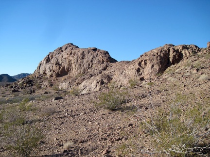 The Broadwell Natural Arch formation has the shape of a horse's saddle when viewed from the southeast
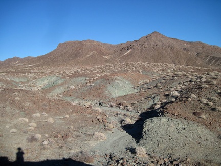 Just beyond the natural arch is Broadwell Mesa and greyish-green minerals coming to the surface everywhere
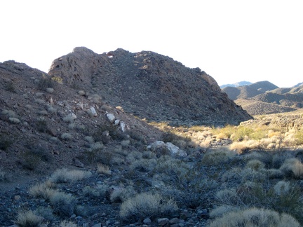 I circle the Broadwell Natural Arch formation and notice that the drop-offs aren't all as steep on the north side
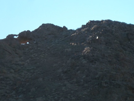 On the north side of the Broadwell Natural Arch formation, I notice a few holes in the rock that I didn't see earlier
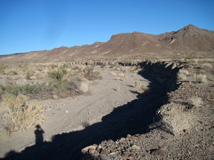 From the north side of Broadwell Natural Arch, I take one last look at the hike unhiked beyond
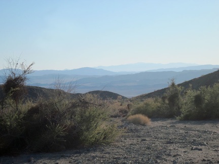 The hike out of the Kelso Dunes Wilderness Area back down to Broadwell Dry Lake begins in earnest
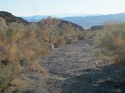 Smoke trees (Psorothamnus spinosus) seem to really like this Bristol Mountains wash
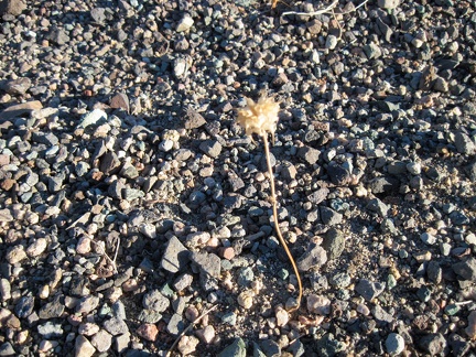 This lone stem peering out from the gravel reminds me of a chia sage from last year
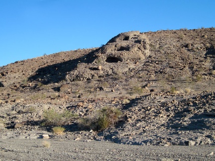 These three holes in the wall look too regular to be natural
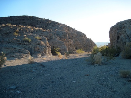 Back at "The Gate," it's time for me to prepare for check-out from the Bristol Mountains
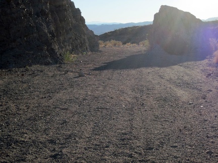 I exit "The Gate" in the Bristol Mountains
 Beyond "The Gate," I begin the hike down the fan toward Broadwell Dry Lake
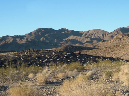 Dry ivory tufts from last year dot a black volcanic outcrop in the Bristol Mountains foothills east of Broadwell Dry Lake
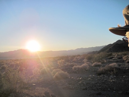 The cold sun starts to set behind the Cady Mountains on the far side of Broadwell Dry Lake
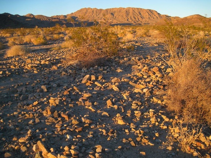 The Bristol Mountains behind me pick up the gorgeous gold of sunset as I hike down the rocky fan toward Broadwell Dry Lake
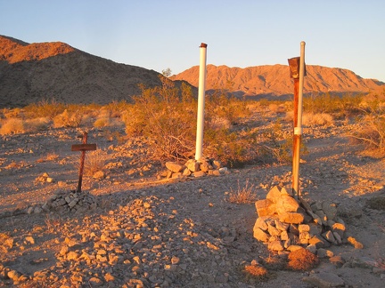 Hmmm... this installation on the Bristol Mountains fan is interesting
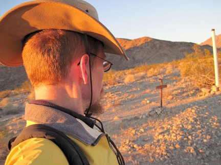 Hmmm... I see nothing about an old grave, despite the weathered cross, and the plastic post looks very recent
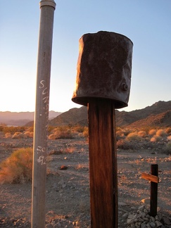 The fence post here is clearly old, but the adjacent upright plastic pipe clearly is not
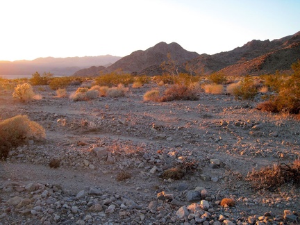 I continue hiking down the Bristol Mountains alluvial fan toward Broadwell Dry Lake; it's a beautiful, peaceful world out here
 I walk into the sunset as I head toward Broadwell Dry Lake
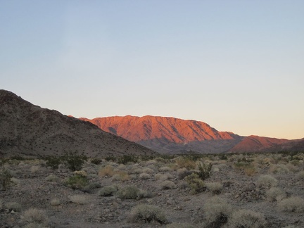 Behind me, the Bristol Mountains pick up a nice orange glow
 In just a few seconds the orange glow on the Bristol Mountains has melted into pink
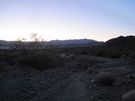 It's almost 17h, and a little sunlight still remains as I begin the hike back to camp across Broadwell Dry Lake
 The hike across Broadwell Dry Lake in the still darkness is really pleasant; then I settle in for a cold evening in the tent
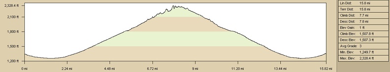 Elevation profile of hiking route to Broadwell Natural Arch, Bristol Mountains, Kelso Dunes Wilderness Area
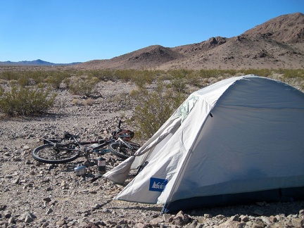 Wow, I've really overslept this morning, just woke up at 11h30 after a rather sleepless (and cold, low 20s) night
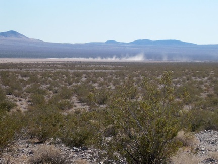 I'm hearing noises, not too distant, and notice that it's coming from vehicles riding on Broadwell Dry Lake
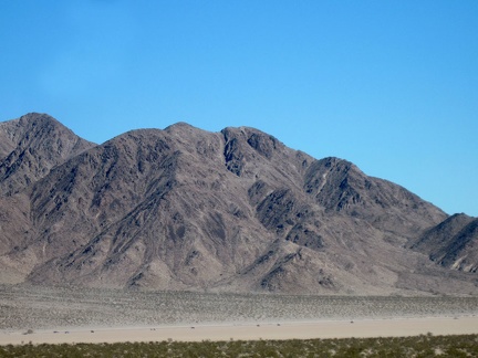 If I zoom in on Broadwell Dry Lake, I see a number of ant-like items on the playa that might be a convoy of 4WD vehicles
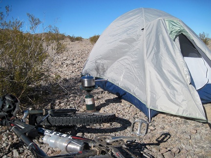 I've already made two cups of hot coffee, but I decide that I need a more substantial breakfast today
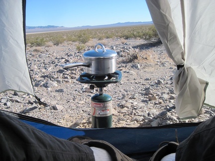 The wind has picked up, and my water just won't boil, so I bring my propane burner closer to my tent, hoping to block the wind
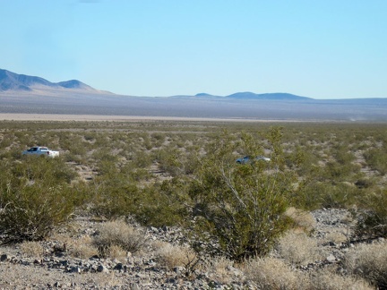 I'm about to start packing up when I hear the two vehicles from last night driving down the road away from Old Dominion Mine
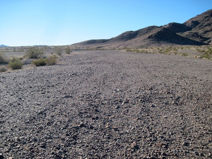 I don my hiking gear and go for a short walk toward the Old Dominion Mine site
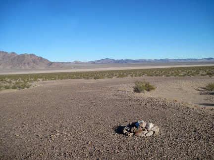 I decide that it might be best to turn back since there were no gunshot sounds until I reached this area
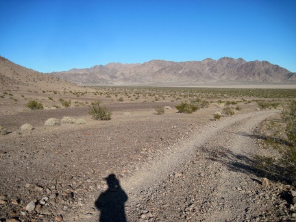 I start walking back to my tent, wondering if maybe I should have ignored the gunshots and continued with my short hike
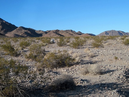 OK, there's my tent, today's abortive one-mile hike to Old Dominion Mine comes to an end
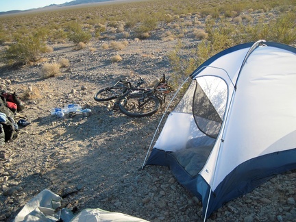 It's not my routine to be breaking camp late in the afternoon, but here I am
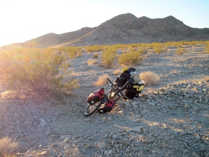 It's almost 16h and I'm just now starting today's bicycle ride out of Broadwell Dry Lake?
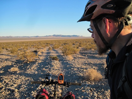 We're ready to ride the half mile down from the Old Dominion Mine area to Crucero Road
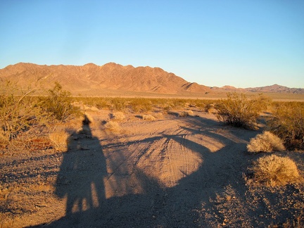 I ride down the faint road from the Old Dominion Mine site at sunset
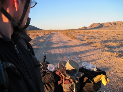 Back down on "the main road," I look north on Crucero Road near Broadwell Dry Lake
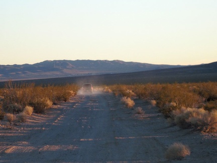 I pull over to allow a car to pass by, the first one I've encountered down here by Broadwell Dry Lake
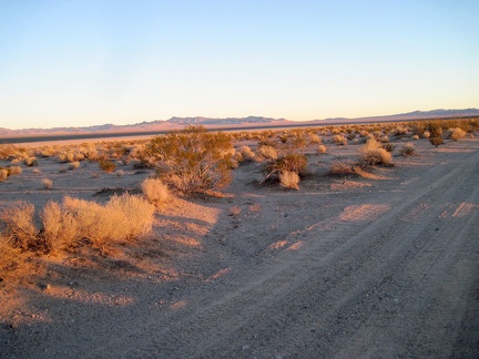 I watch the sun go down on the Bristol Mountains while I ride alongside Broadwell Dry Lake
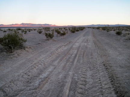 This stretch of Crucero Road looks like it gets mighty muddy during rainy times
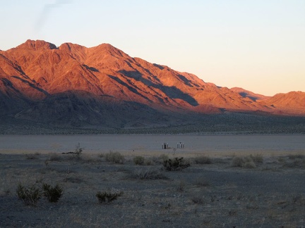 I see some pipes sticking out of the surface of nearby Broadwell Dry Lake, but I don't stop to investigate
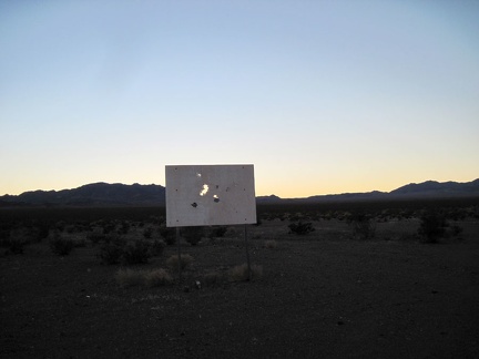 What could this old sign be out here in the middle of nowhere by Broadwell Dry Lake?
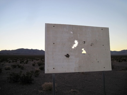 Ha! This old sign announces a former proposal (from the 1990s) to place a toxic-waste site here at Broadwell Dry Lake
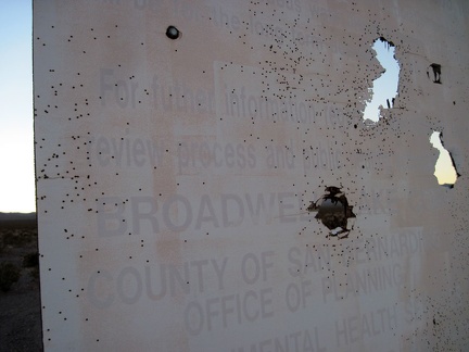 For further information on the review process for the proposed hazardous-waste site at Broadwell Dry Lake...
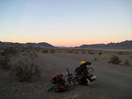 Relieved that I don't have to pass a toxic-waste dump here, I get back on the 10-ton bike and pedal onward toward Ludlow
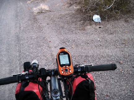 Oh, another stray balloon to collect for disposal!
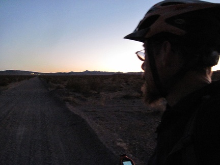 These last few miles up the gravelly slight incline toward Ludlow are slow, but I'm enjoying it
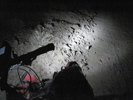 The sun has gone down for the last mile or so of the trudge up to Ludlow
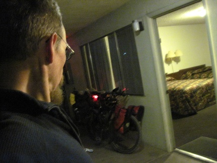 I decide to spend another night at the Ludlow Motel to catch up on some needed sleep and avoid the cold
 I slept so well last night here at the Ludlow Motel: the breakfast menu in my room invites me over to the café for FLUFFY
 Ludlow Motel, in the heart of the Mojave Desert, has soap in the bathrooms called "Coastal Breezes"
 Between the Ludlow Café and the Ludlow Motel rests a former gas station, decorated with a couple of old vehicles
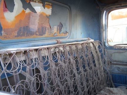 Please, have a seat
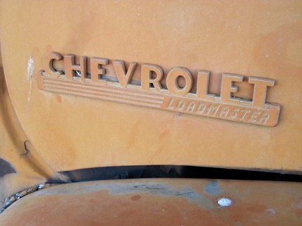 Loadmaster
 The two antique vehicles are protected from sun and rain under the old gas-station canopy
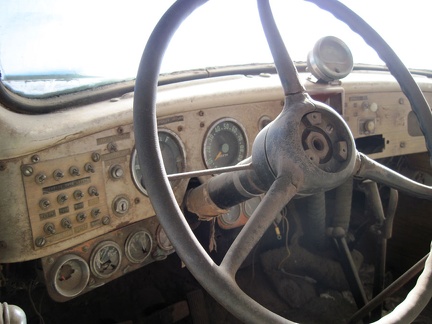 Interesting switches on the dashboard panel of the old van
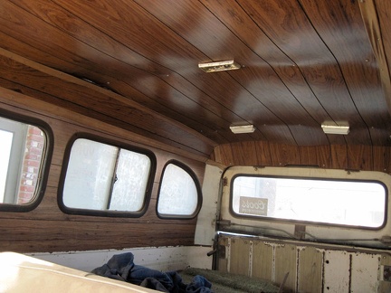 Faux wood paneling in the back of the old van, sagging a little
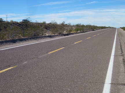 I'm out of my motel room by 10h30 and start my way up the first 8-mile segment of Route 66 toward Barstow from Ludlow
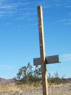 After almost six miles, I notice a little sign for "Sleeping Beauty Road"
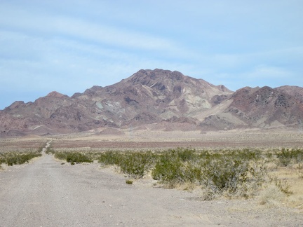 I stop at Sleeping Beauty Road for a very short break; it occurs to me that I could ride up this road and do a nice hike
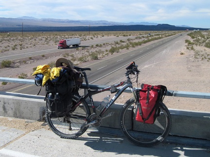 Old Route 66 makes a couple of 90-degree turns in order to cross the I-40 freeway
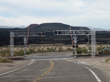 As old Route 66 crosses the tracks just after an I-40 overpass, I'm briefly facing Pisgah Crater
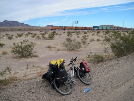 Not long after I cross the tracks, another one of those endless freight trains passes by
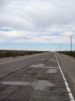 I'm on that rough part of old Route 66 again between Newberry Springs and Pisgah siding
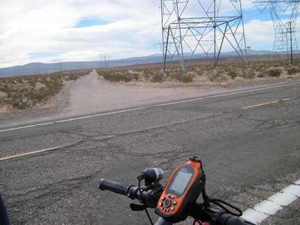 I cross the powerline road that cuts through the Cady Mountains just a few miles north of my campsite at Broadwell Dry Lake
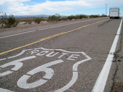 Now that I'm getting closer to the town of Newberry Springs, I'm starting to see a few more cars on this part of old Route 66
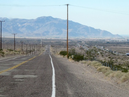 I begin the slight downhill on old Route 66 into the town of Newberry Springs, with the Newberry Mountains in the background
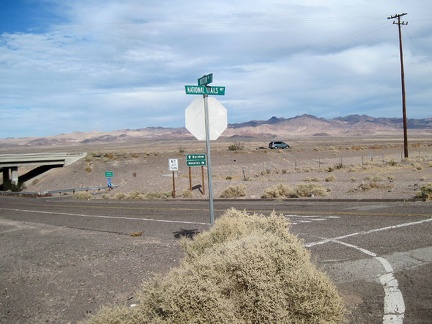 Hector Road here provides an opportunity for cars to get off old Route 66 here and get back on the freeway
 This abandoned property at the east end of Newberry Springs has a commanding view of the Rodman Mountains in the background
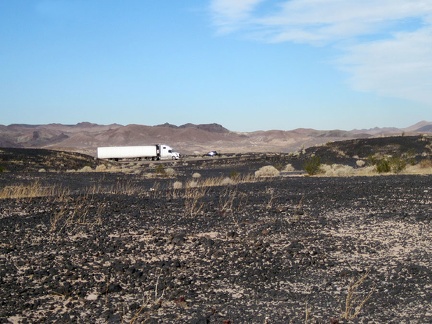 East of Newberry Springs, the freeway is really close to old Route 66
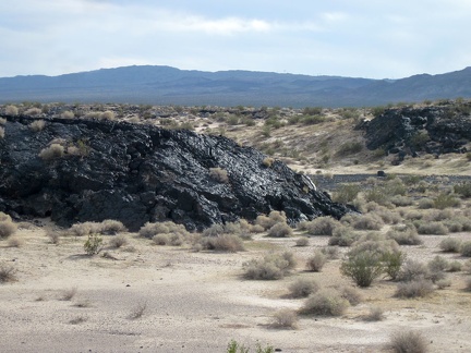 This lava outcrop along old Route 66 glistens in front of its Rodman Mountains Wilderness Area background
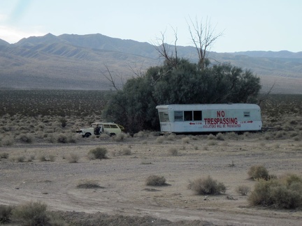 Perhaps the biggest no-trespassing sign I've seen on this trip, just east of Newberry Springs
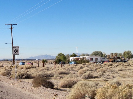 Now that I'm closer to town (Newberry Springs), I'm starting to pass more properties that are occupied
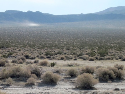 I see another motor-created dust cloud traversing the desert in front of the Rodman Mountains Wilderness Area
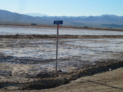 I stop to take a look at Gasco Road, which cuts across the salt pan on its way up to the Rodman Mountains Wilderness Area
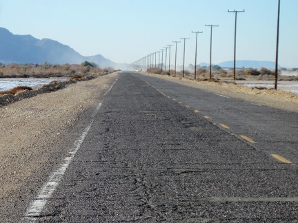 First, I think I'll ride the couple of remaining miles into Newberry Springs and refill my water supply
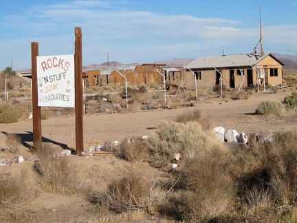 Here's another old business on Newberry Springs' Route 66 that didn't make it: "Rocks 'n' Stuff"
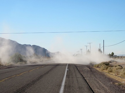 Newberry Springs: dirt-bikers paradise!
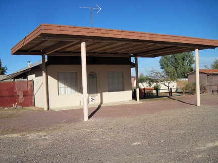 This old property on Route 66 in Newberry Springs is nicely maintained
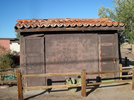 Old public toilets on Route 66, Newberry Springs
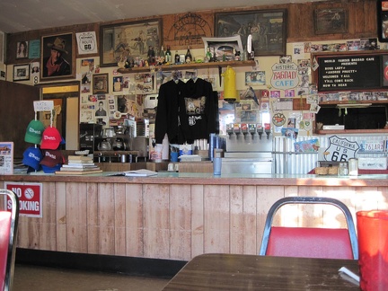 Bagdad Café: I'm hungry (again), so I order a plate of scrambled eggs and bacon
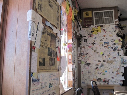 Bagdad Café: I begin to notice that most of the business cards and other paraphenalia on the walls are from France
 Bagdad Café: business cards, welcome signs (bienvenue) and personal messages everywhere, le tout en français
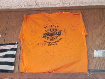 Bagdad Café: a French Harley shirt, mounted high on a wall
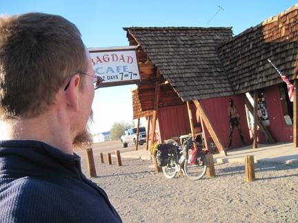 I figure I might as well stop in at the famous Bagdad Café since I'm passing by
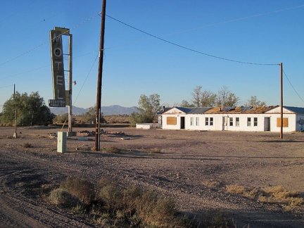 I take a quick glance at the old Henning Motel next door to the Bagdad Café as I get back on the road
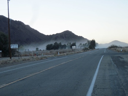 I ride through another dirt-bike dust cloud as I head west on the way out of Newberry Springs
 The Newberry Mountains briefly come right up to old Route 66 along here
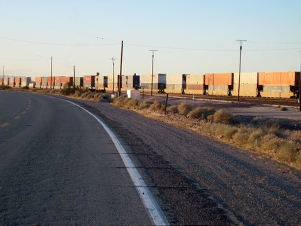 Westward on Route 66 I go, crossing under the I-40 freeway and leaving Newberry Springs
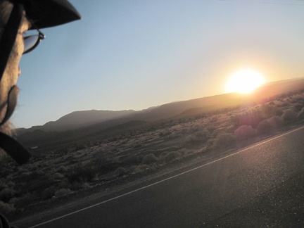 Another Route 66 sunset as I ride west from Newberry Spring
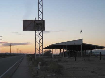 I ride by the California Agricultural Inspection Station, closed in 1967, which I passed on the first day of this trip
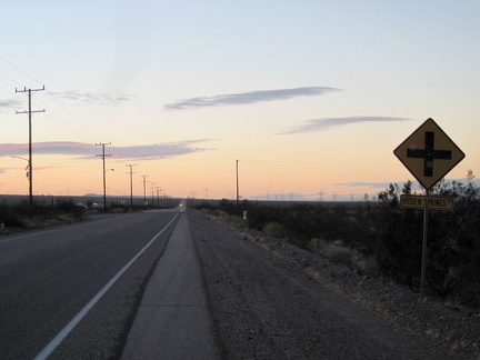 Finally, I arrive at my exit from Route 66, Hidden Springs Road, and turn left
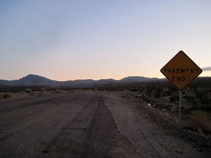 I look for the dirt road to follow after pavement ends at the foot of the Newberry Mountains, a short distance from the freeway
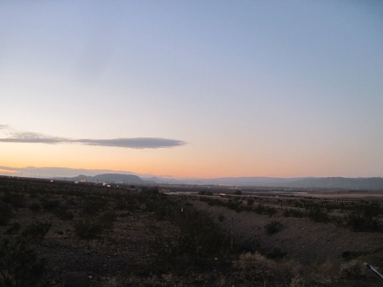 Hmmm.... The city lights of Barstow are not so far away as I start my way up the road into the Newberry Mountains foothills
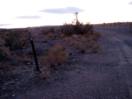 In darkness, I head up the dirt road about a mile, set up camp, then an unexpected rain and wind storm descends upon me
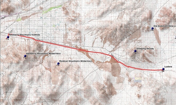 Route 66 Newberry Mountains bicycle route
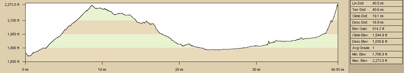 Elevation profile of Route 66 Newberry Mountains bicycle route
 Last night's wind storm, which is still alive, blew a dusting of sand into my tent overnight, and kept me from sleeping well
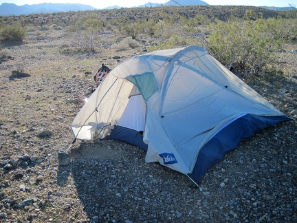 I step outside to take care of morning business and it's just as windy as I thought here in the Newberry Mountains foothills
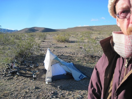 This desert wind storm seems to be getting a kick out of playing with my flexible tent, just to see what shapes it can make
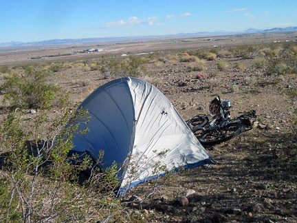 I've been up for an hour and a half now, and spent much of that pacing around outside, hoping that the wind will die down a bit
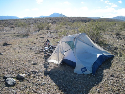 Coffee time, I hope: I try heating some water and shelter the burner a little by placing it behind the tent
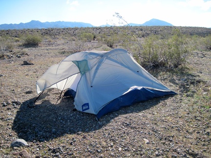 The problem now is that if the tent does fail and blow over, it will surely land on the flame of my propane burner
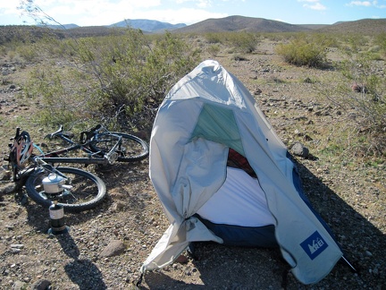 Every time I think the wind is lessening, and that the day will progress nicely after all, another big gust pummels my tent
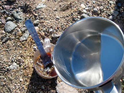 After more than 30 minutes, my lukewarm water makes a good cup of Starbuck's instant coffee, the only instant I find acceptable
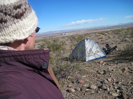 I stand in the wind on the Newberry Mountains foothills, thinking (wishing) that the wind is dropping to an acceptable level
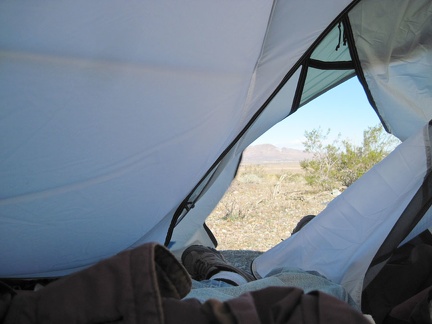 I retreat to the tent and consider packing up and skipping today's Newberry Mountains hike as the tent walls blow down at me
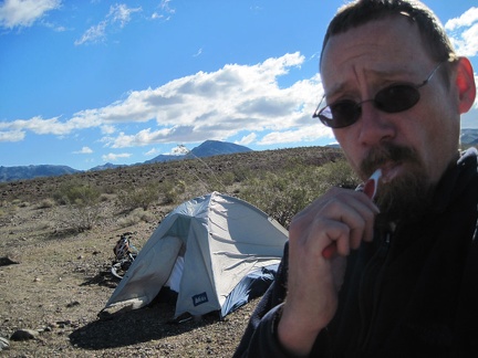 I hate my decision: I'm going to pack up and cancel my hike into the Newberry Mountains, even though I'm camped at my trailhead
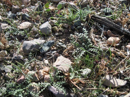 The Mojave Desert is a dry place, but I see a lot of green sprouts, happier than me about last night's rain storm
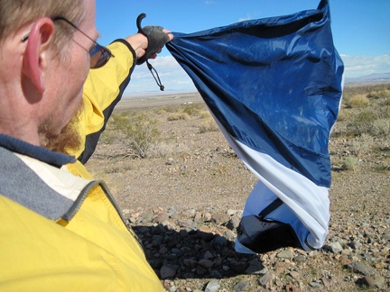 While packing up, the tent wants to be a kite; I discover that one of my tent poles has been bent by the wind
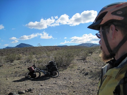 OK, I'm leaving my Newberry Mountains campsite, but maybe I shouldn't wimp out like this
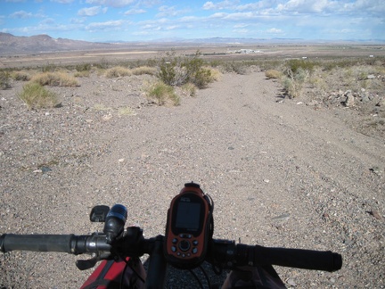 I start riding down the Newberry Mountains wash road that I came up last night
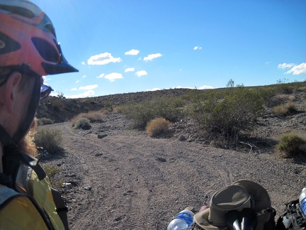 It's a winding, gravelly road; no wonder I had to walk the 10-ton bike up this hill last night in the dark